Download as ODP, PPTX
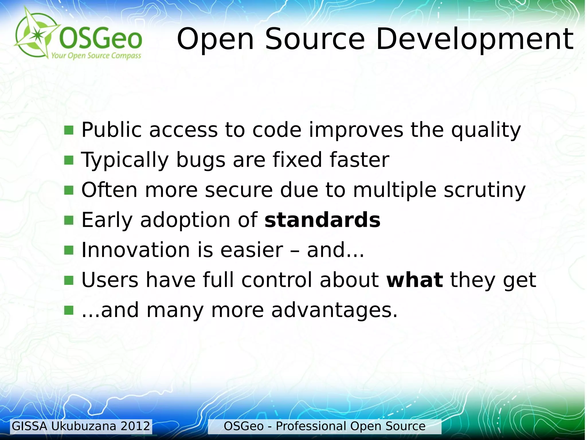
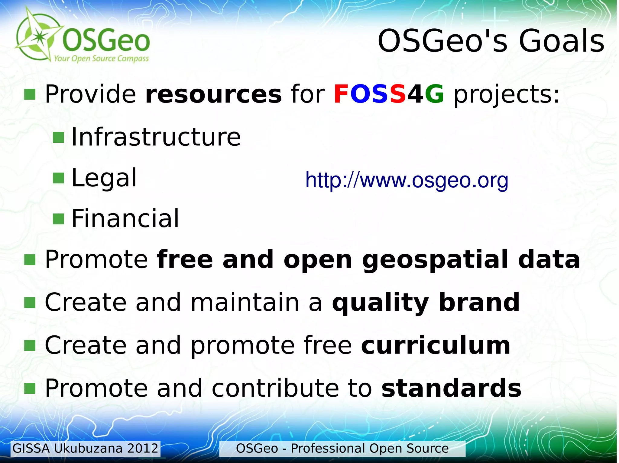
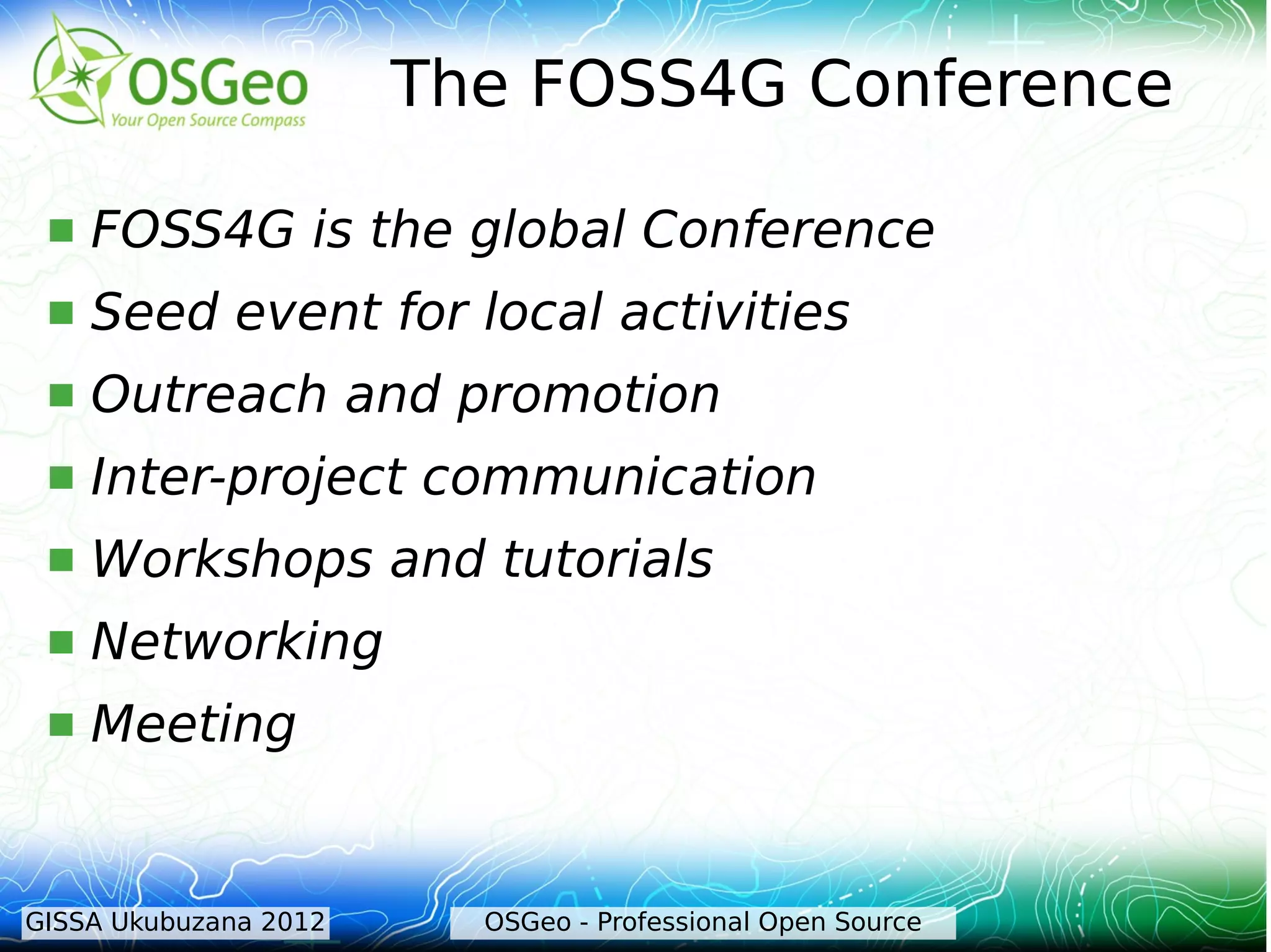

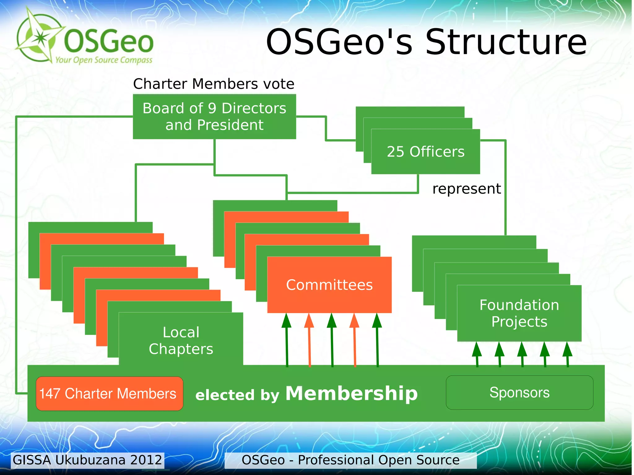
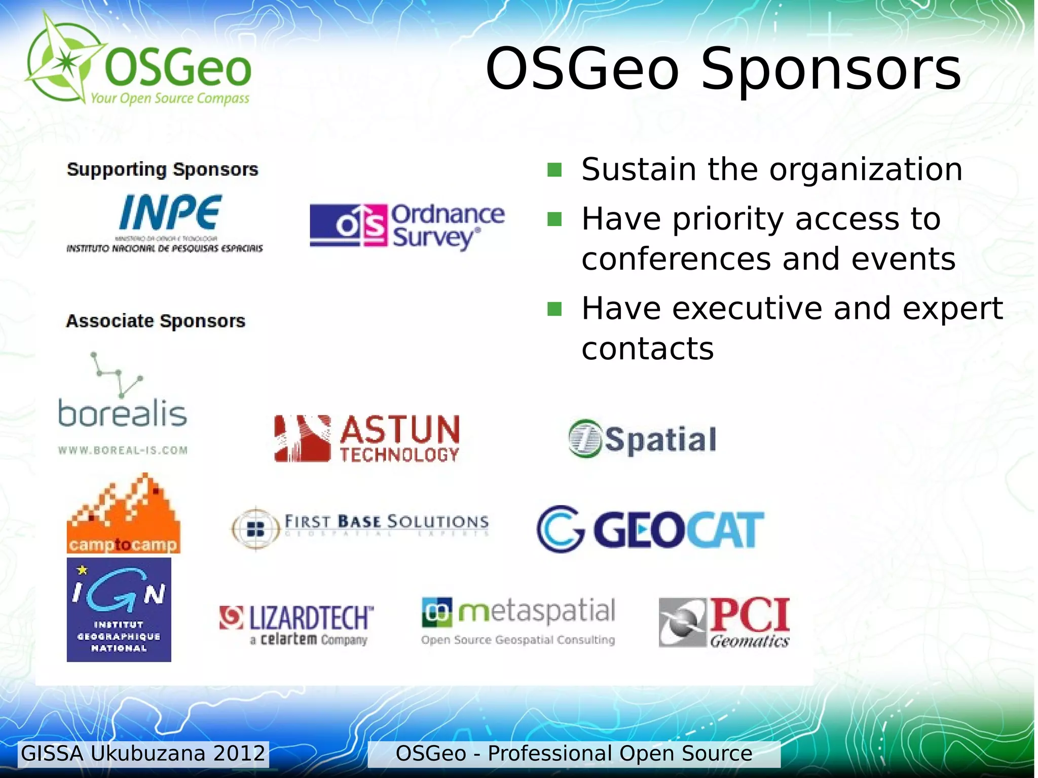

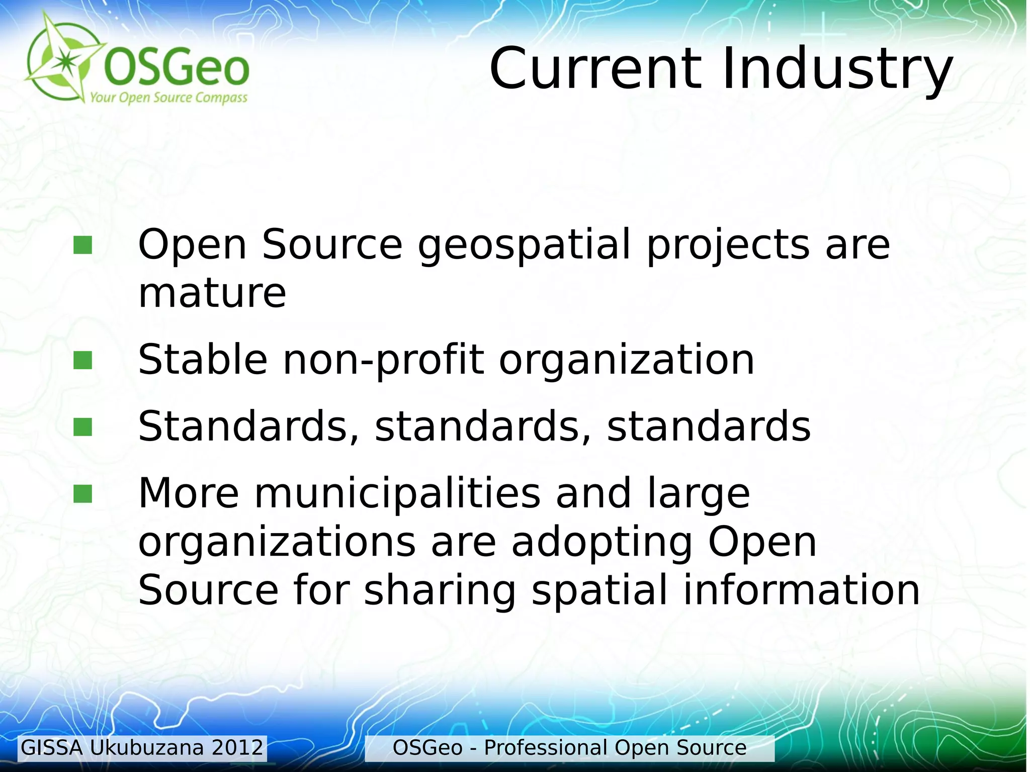
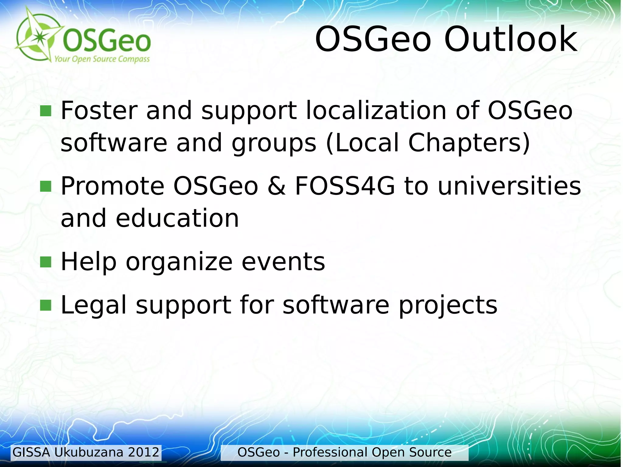
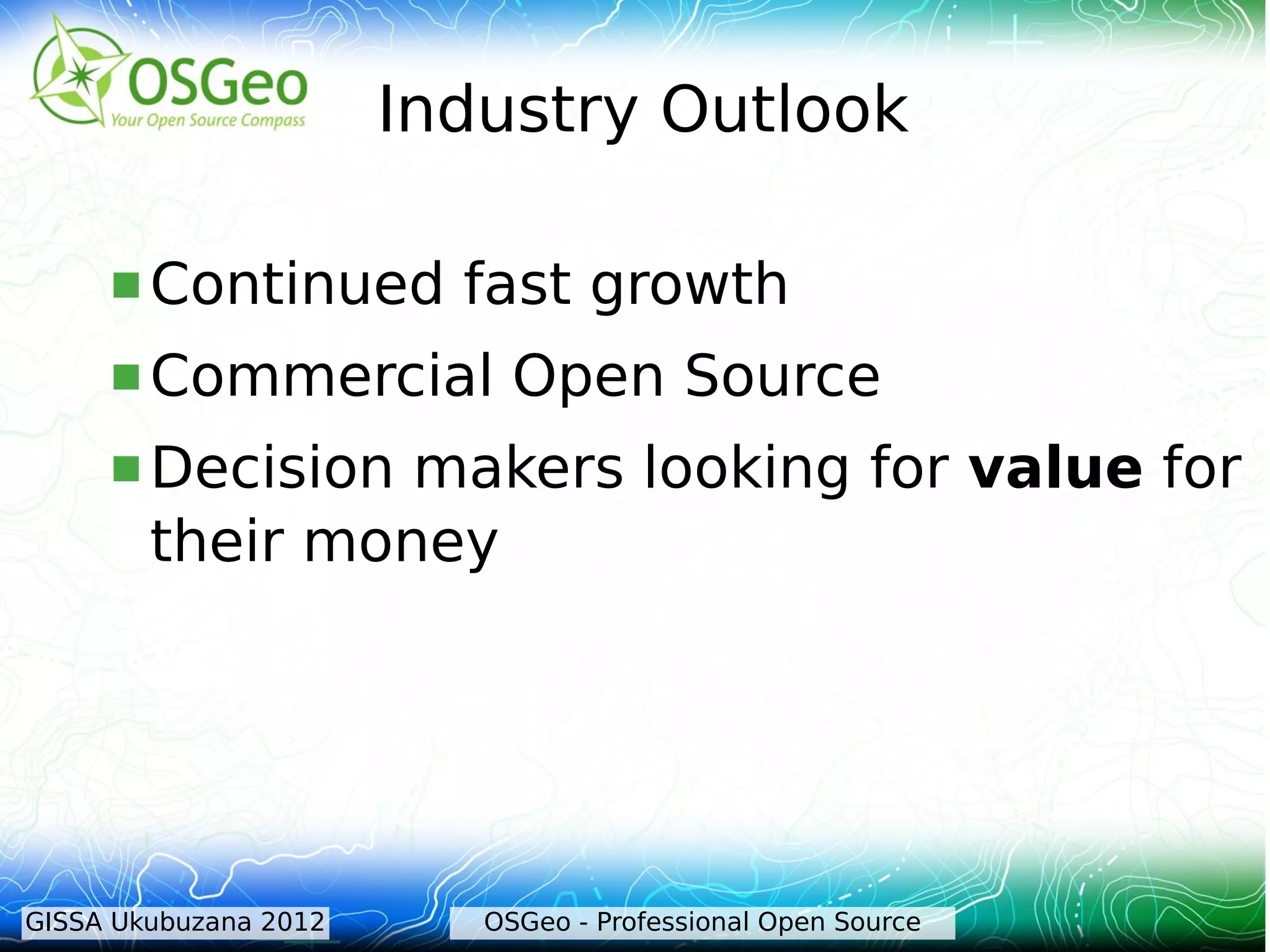
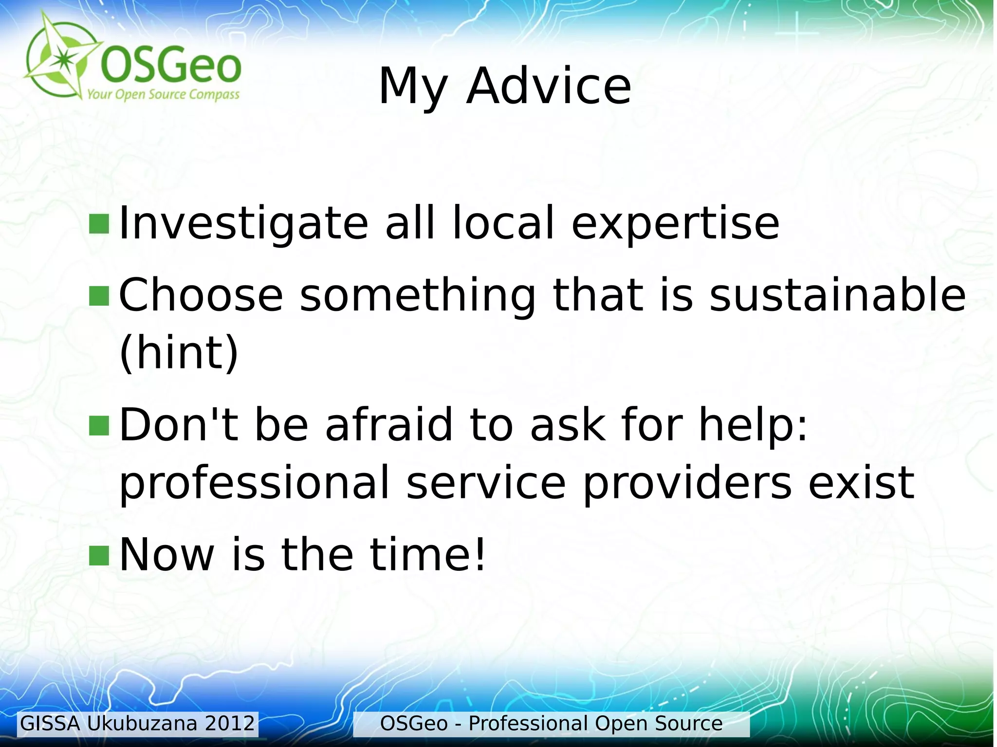

The document discusses the evolution and impact of open source geospatial software, highlighting its advantages such as improved quality, faster bug fixes, and user control. It outlines the founding of the Open Source Geospatial Foundation (OSGeo) and its mission to promote high-quality open source geospatial software, as well as the FOSS4G conference aimed at fostering community and collaboration. The current state and future outlook of open source geospatial projects is emphasized, noting their maturity and increased adoption by municipalities and organizations.


![Vibe Coding vs. Spec-Driven Development [Free Meetup]](https://cdn.slidesharecdn.com/ss_thumbnails/vibecodingvsspecdrivendevelopment-251209105622-43f455e7-thumbnail.jpg?width=640&height=640&fit=bounds)


