Downloaded 704 times
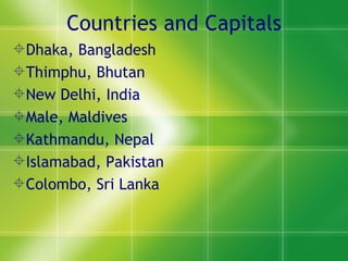
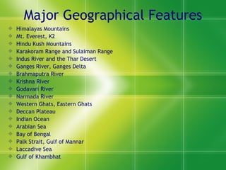
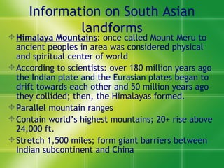
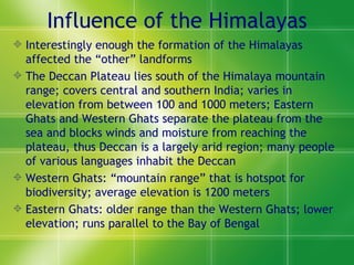

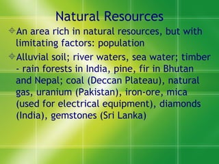


The document provides an overview of the geography, climate, vegetation, and history of South Asia. It describes the major geographical features like the Himalayan Mountains and river systems like the Ganges, Indus, and Brahmaputra rivers. It discusses how the formation of the Himalayas influenced other landforms and natural resources in the region. It also provides brief summaries of the history, culture, languages, and governments of India, Pakistan, Bangladesh, and other South Asian countries.