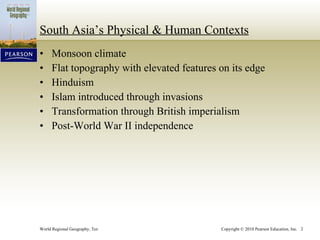
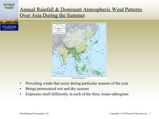
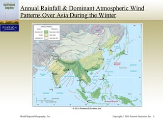
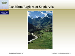
- South Asia has a monsoon climate and flat topography with elevated features on the edges. It experiences pronounced wet and dry seasons due to seasonal wind patterns.
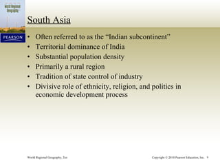
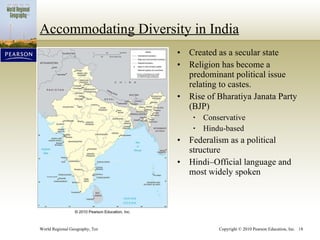
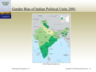
- The region has seen influences from Hinduism, Islam, and British imperialism. Countries gained independence after World War II and dealt with issues of ethnicity, religion, and politics in development.
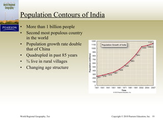
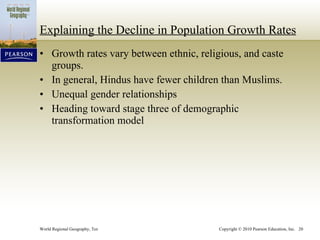
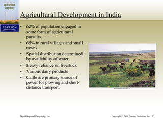
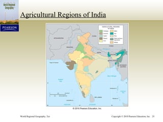
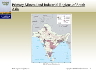
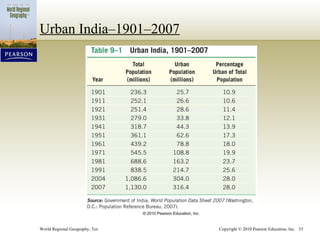
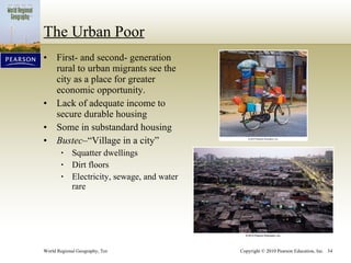
- The population is primarily rural and densely populated, with India as the dominant country. Agriculture remains important but industrial and urban areas are growing.