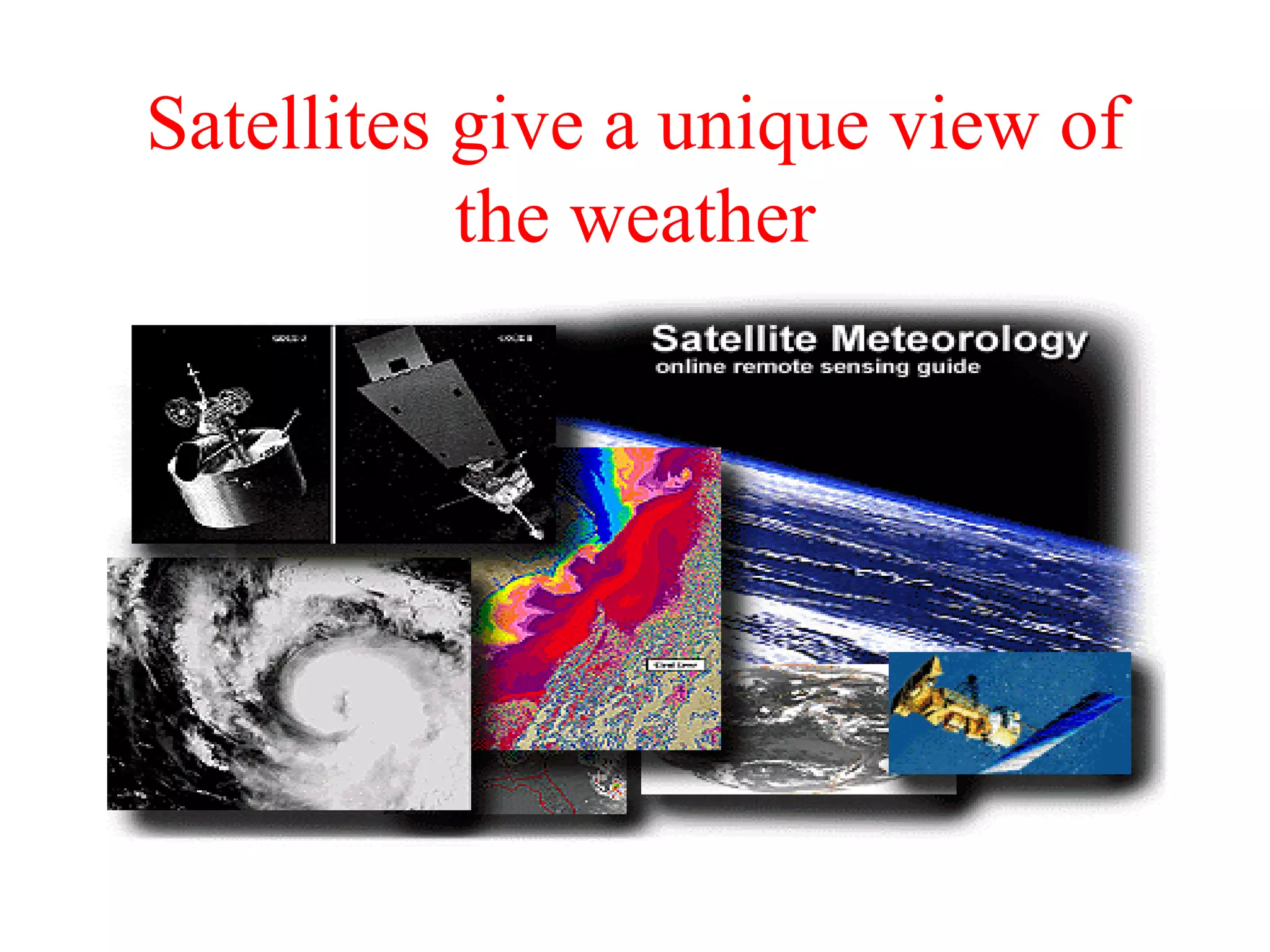
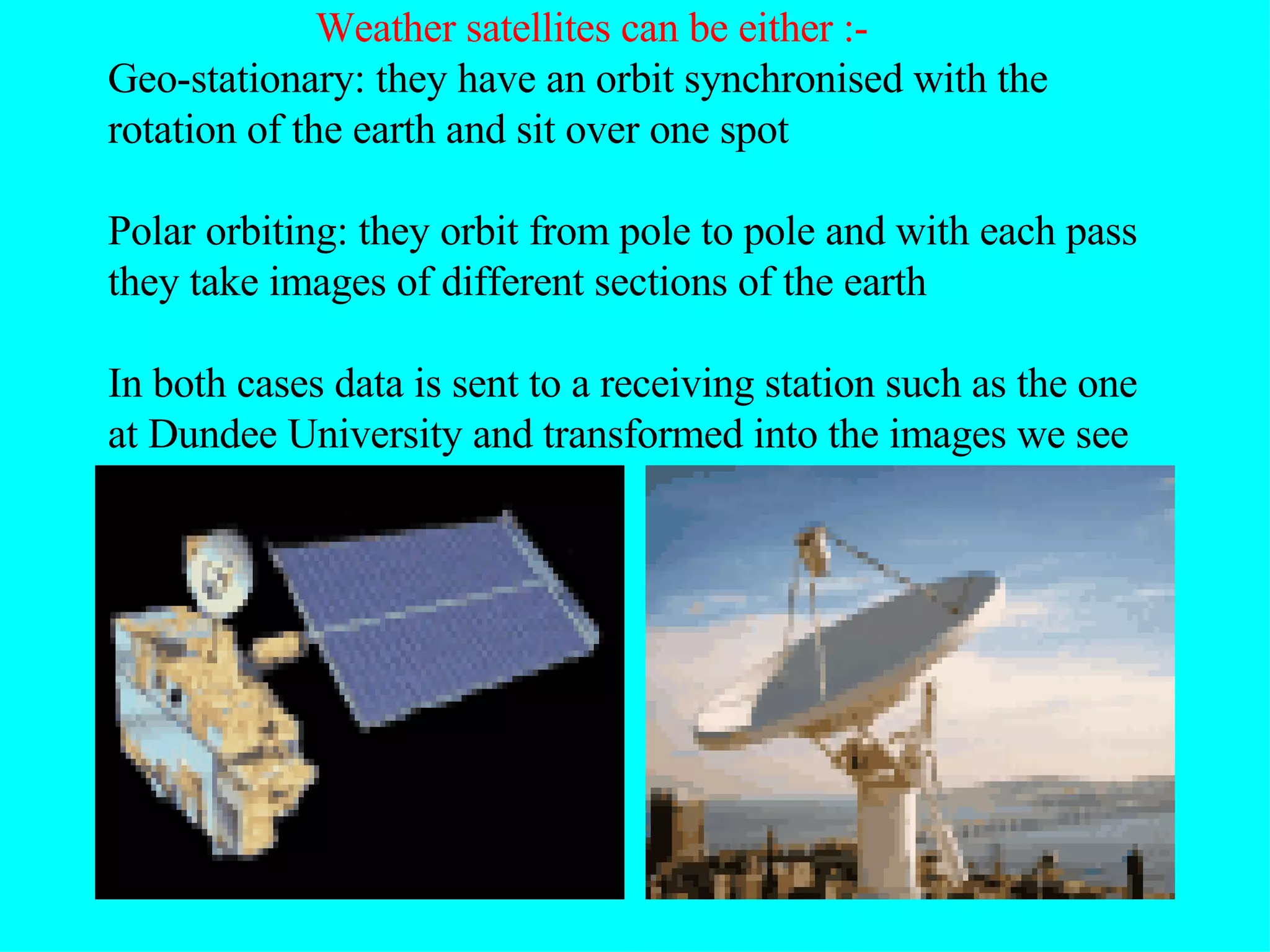
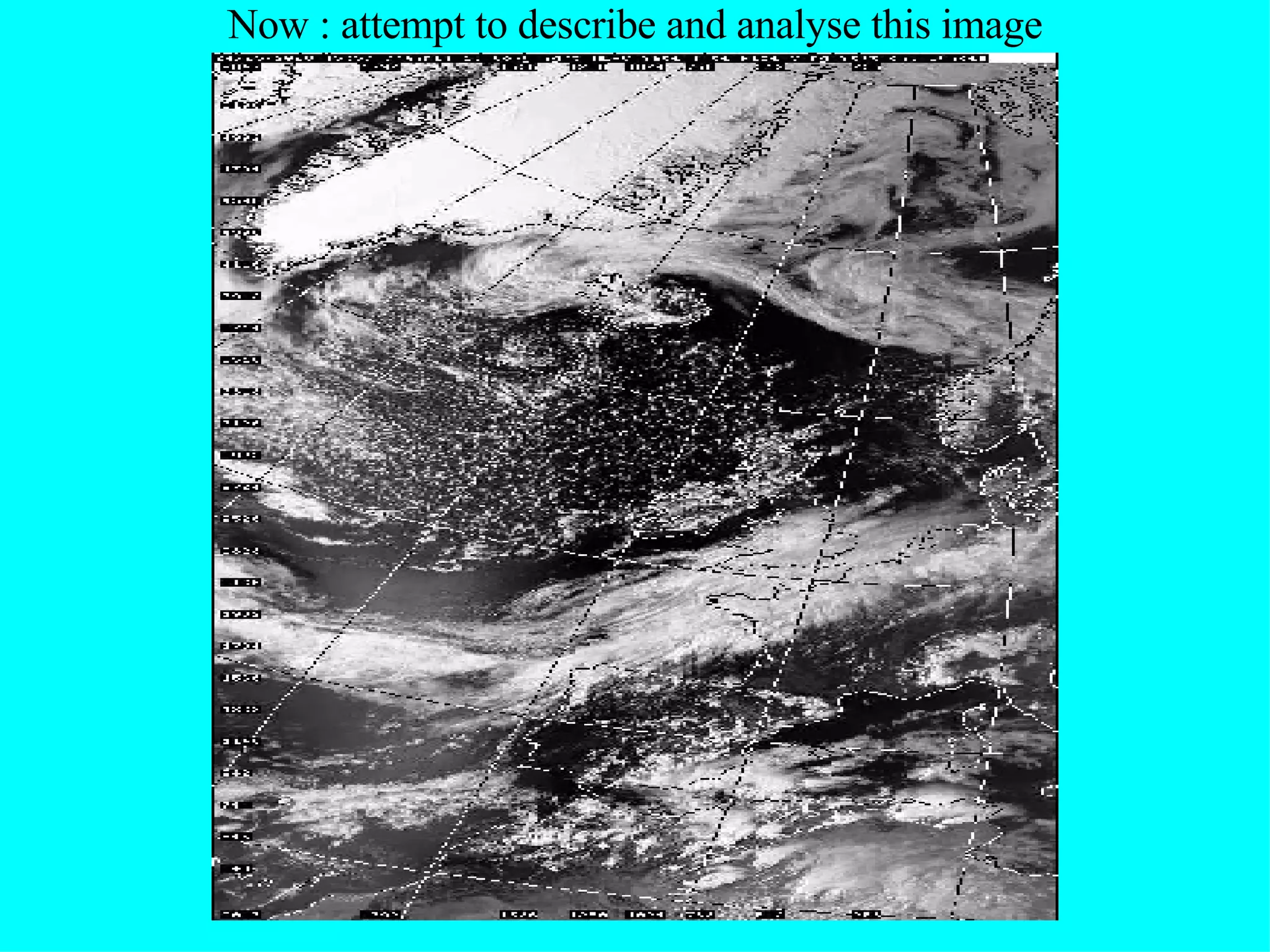
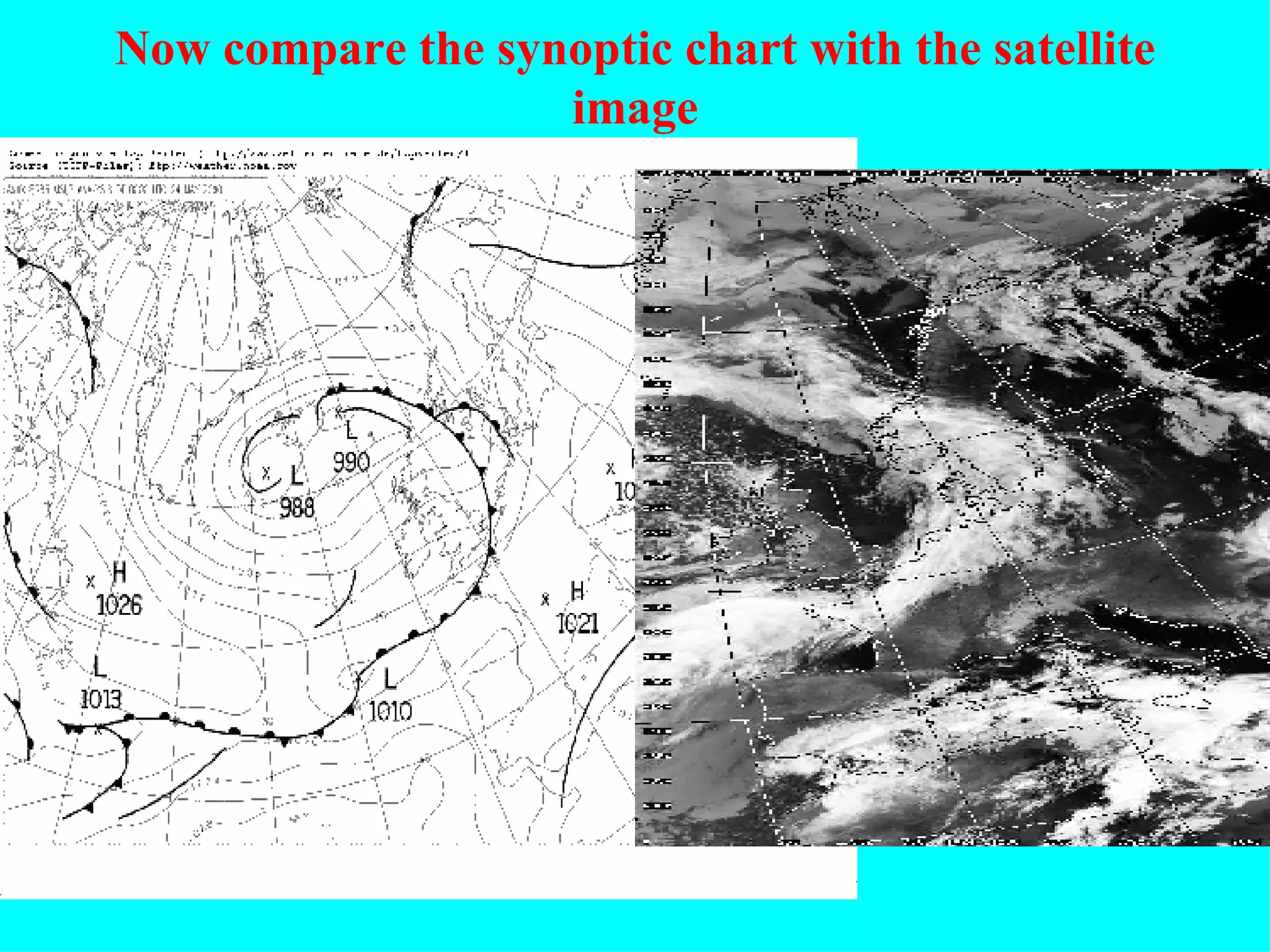
Weather satellites provide unique views of weather patterns from orbit. There are two main types - geostationary satellites that remain fixed over one spot, and polar orbiting satellites that pass over the poles with each orbit. Satellite images can be visible light or infrared. Visible light images show cloud cover as white and distinguish between high, thick clouds and lower, thinner clouds. Infrared images detect heat signatures and can identify precipitation-producing clouds that reach high, cold levels. Combining satellite views with synoptic charts and radar data provides a more comprehensive picture of weather systems.