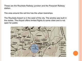
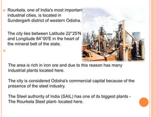
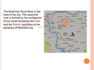
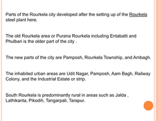
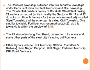
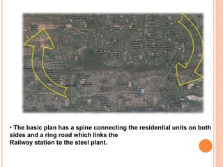
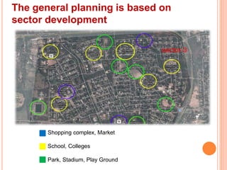
Downloaded 189 times
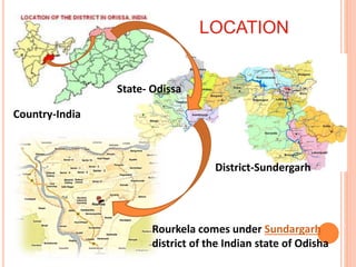
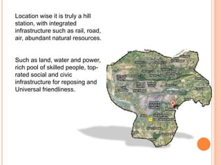
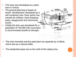

Rourkela is an important industrial city located in Odisha. It is situated in the mineral rich belt of the state and has many industries, especially the large Rourkela Steel Plant owned by SAIL. The city has good rail, road and limited air connectivity. It was developed around the steel plant in the 1950s with sectors for residential areas. The city has experienced growth due to industrialization but there are concerns about its effects on local Adivasi communities who have opposed imposed changes that damage their social and cultural fabric.