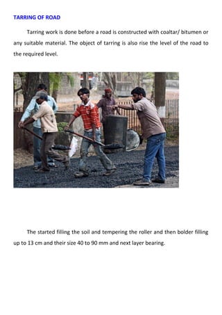
Downloaded 174 times


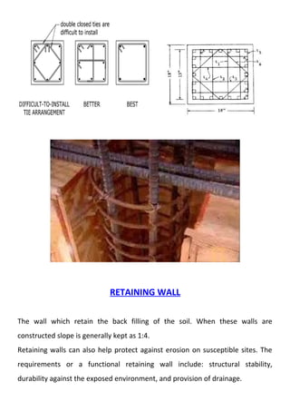
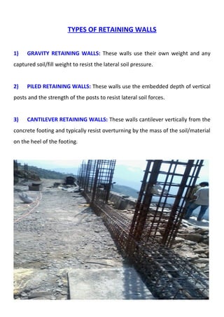
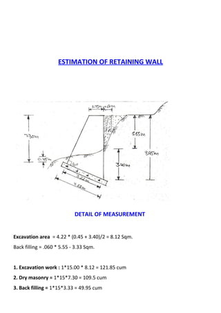
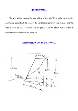

The document provides details on the construction of buildings and roads. It discusses the classification, measurement, and construction of buildings, foundations, retaining walls, and breast walls. It also covers road surveys, the importance and classification of roads, gradients, and the construction of cemented and tarred roads. Foundations transmit loads from buildings to the soil and include shallow and deep types. Retaining walls hold back earth to prevent landslides while breast walls are constructed to prevent sliding at the back of roads.


