Download to read offline
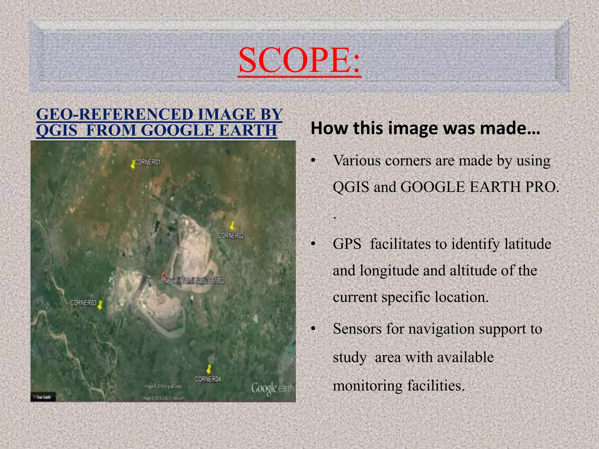
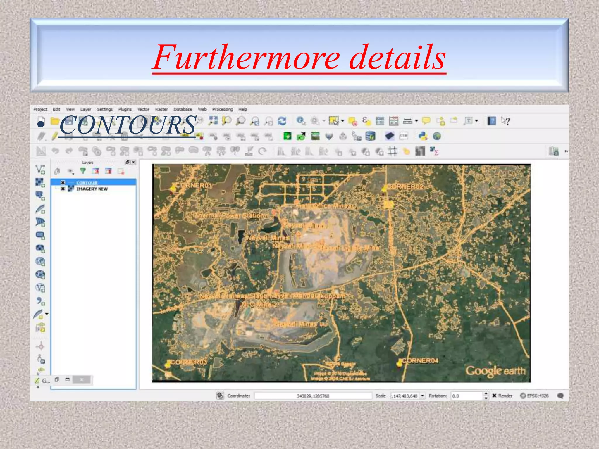
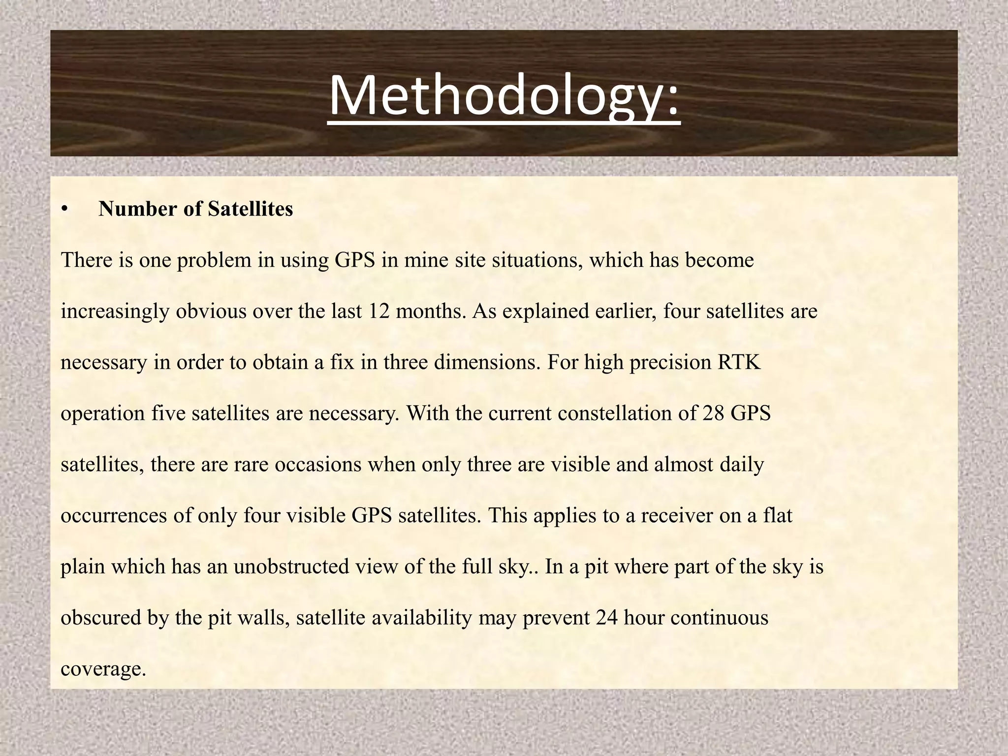
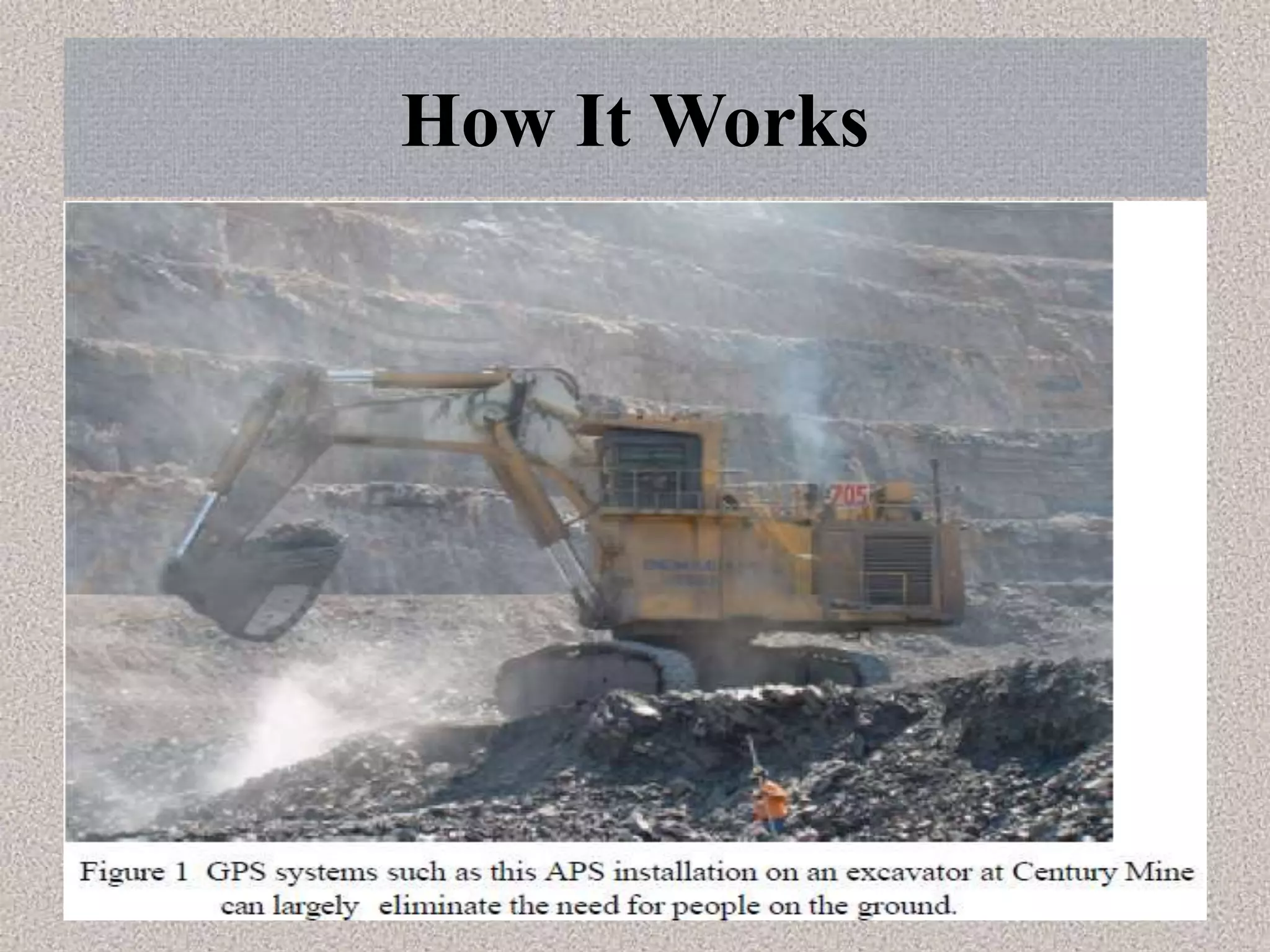
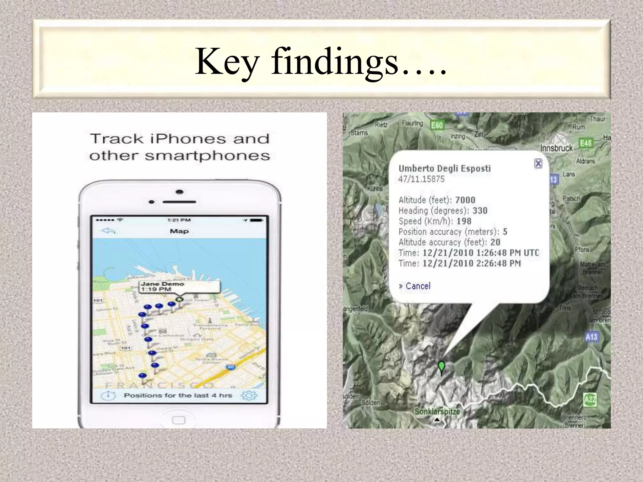
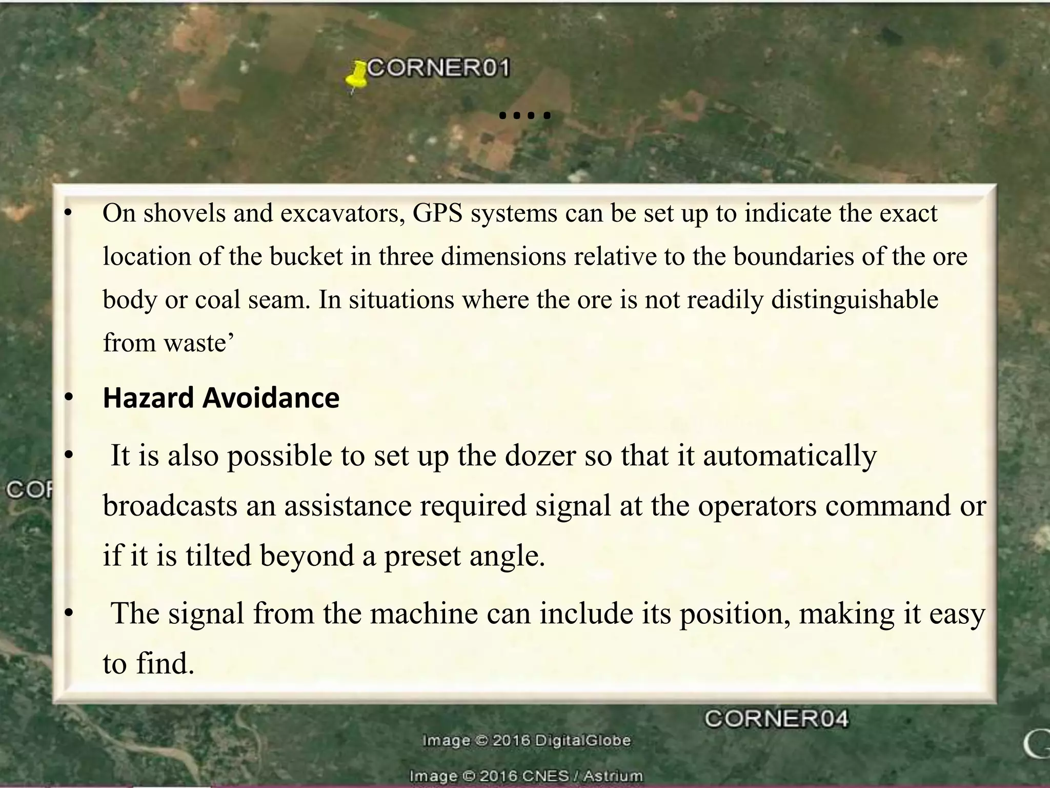
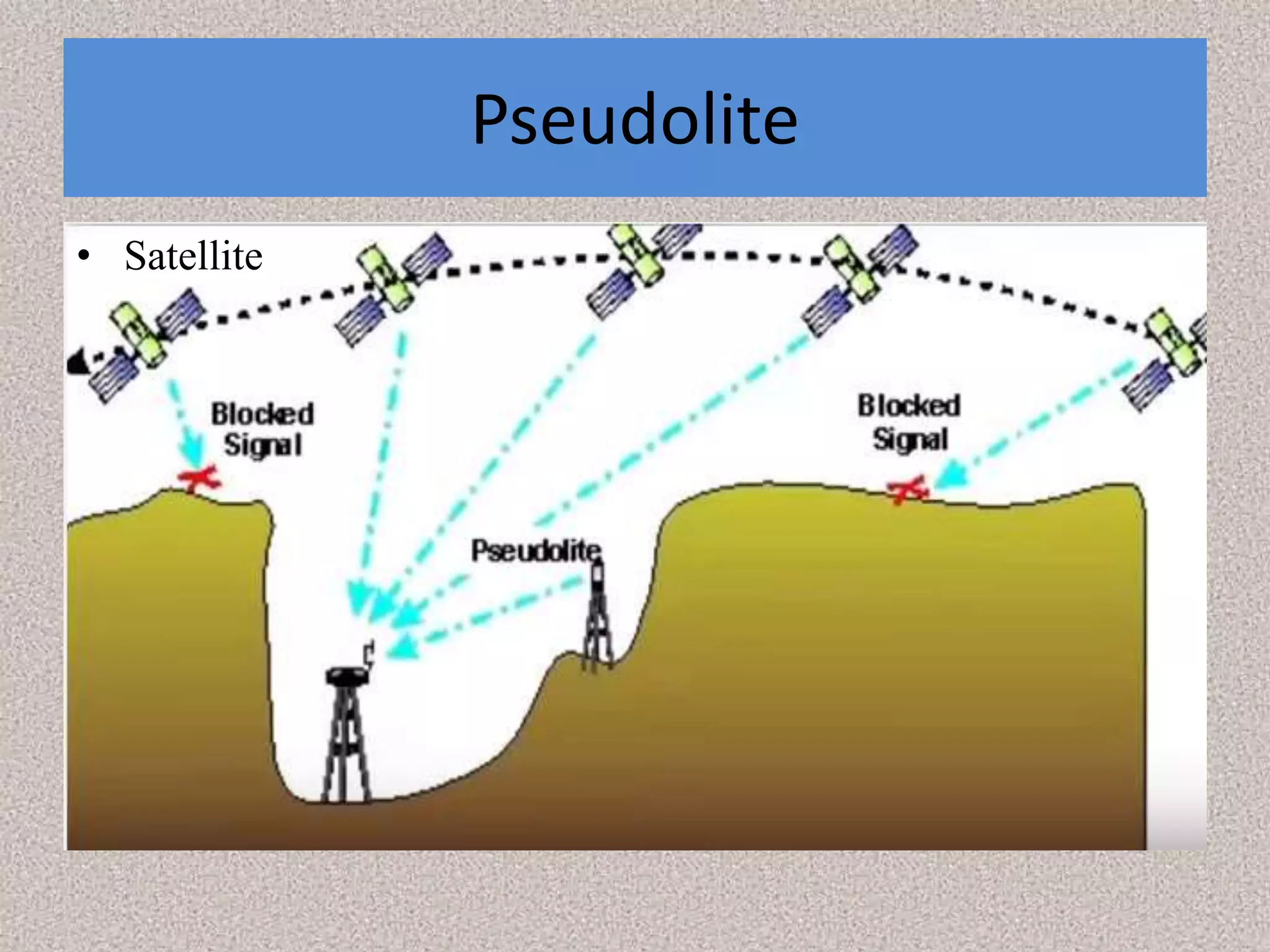

The document discusses how GPS technology developed by NASA can be used to estimate soil properties and support large construction projects. Specifically: 1) NASA developed sensors that can estimate soil properties by analyzing GPS signals reflected off the Earth's surface. 2) Testing showed strong correlations between ground measurements and reflected GPS signals, demonstrating this technique's potential for real-time nonintrusive soil monitoring. 3) The mining industry has adopted GPS for surveying, machine guidance, and safety applications like hazard avoidance and collision prevention by continuously tracking equipment locations.


![History of surveying [world]](https://cdn.slidesharecdn.com/ss_thumbnails/historyofsurveying-world-170131054131-thumbnail.jpg?width=640&height=640&fit=bounds)


