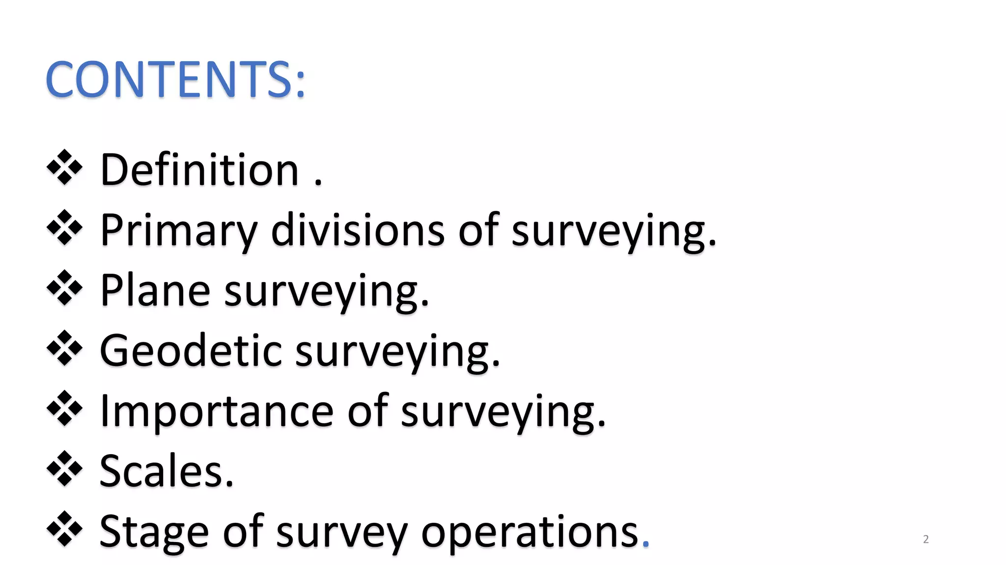
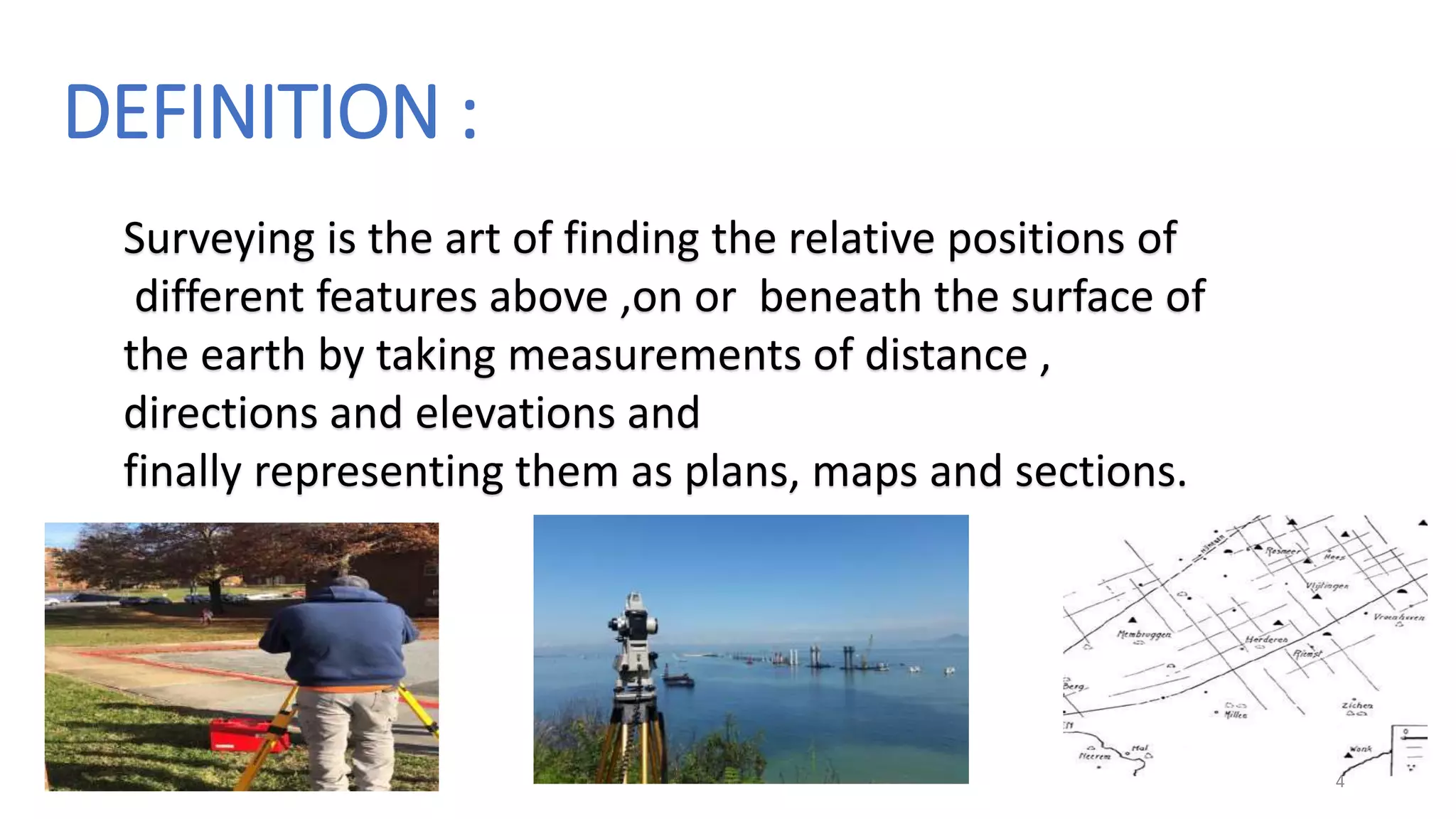
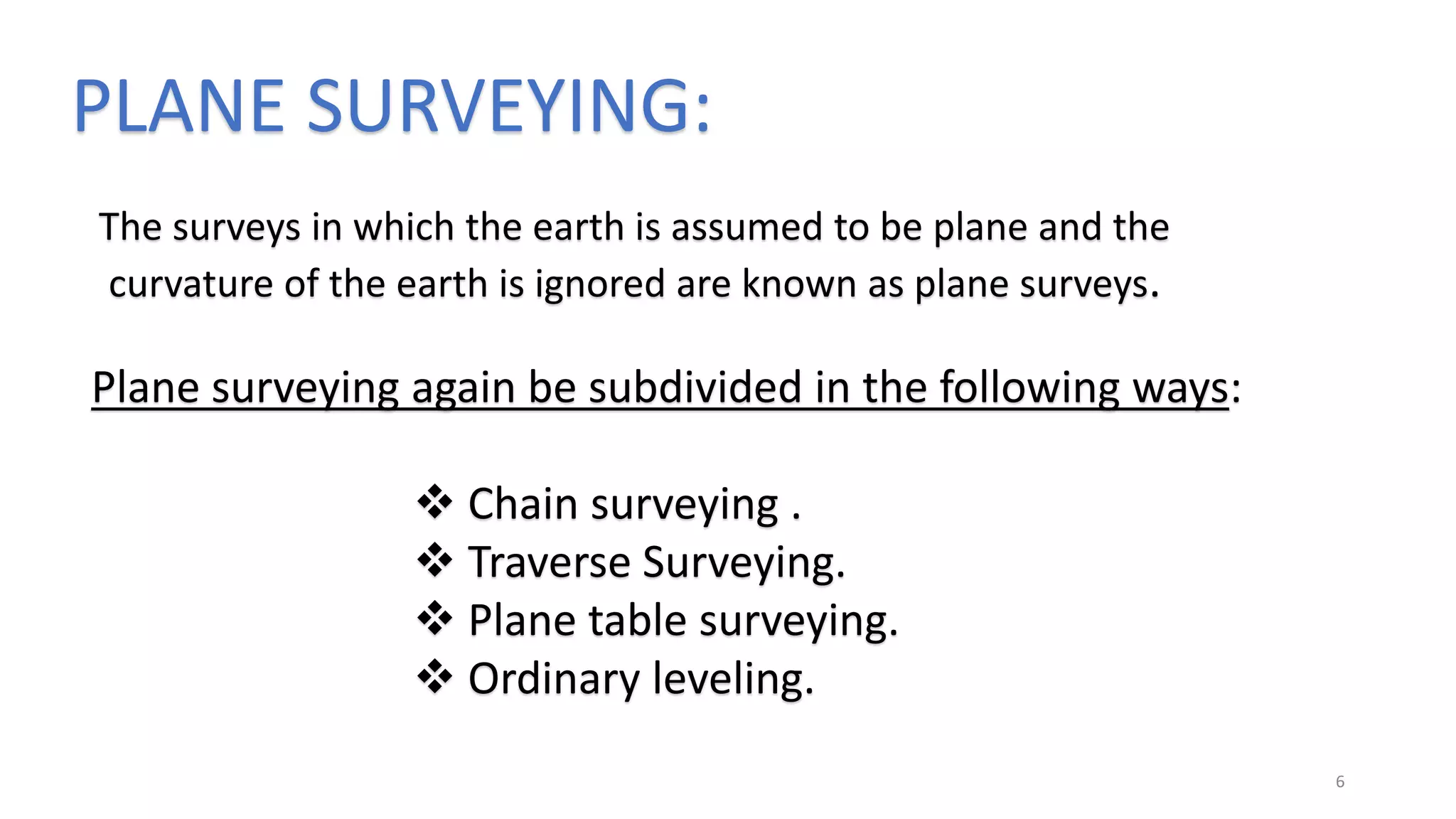
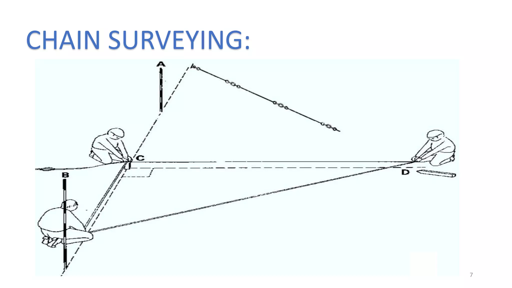
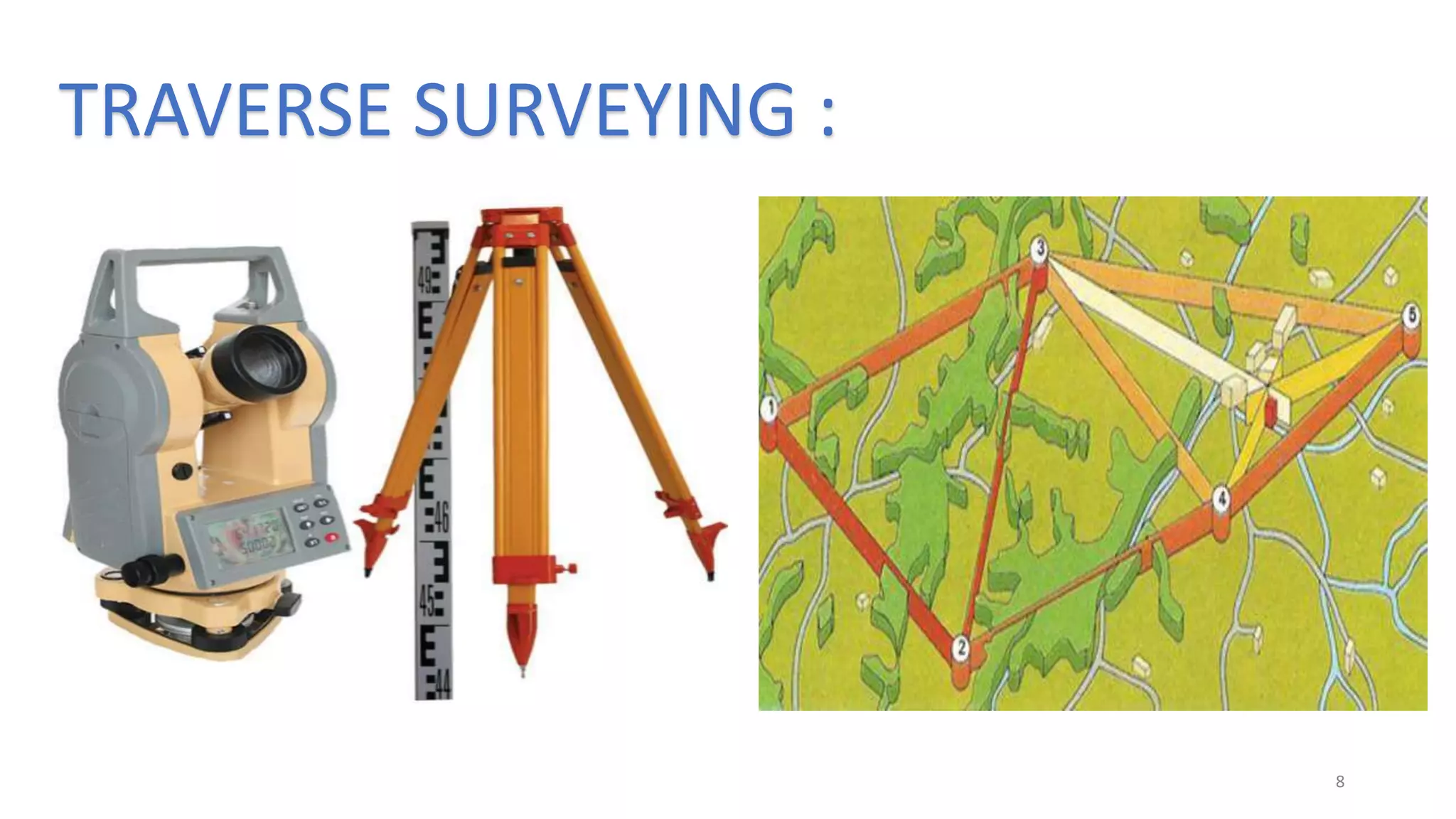
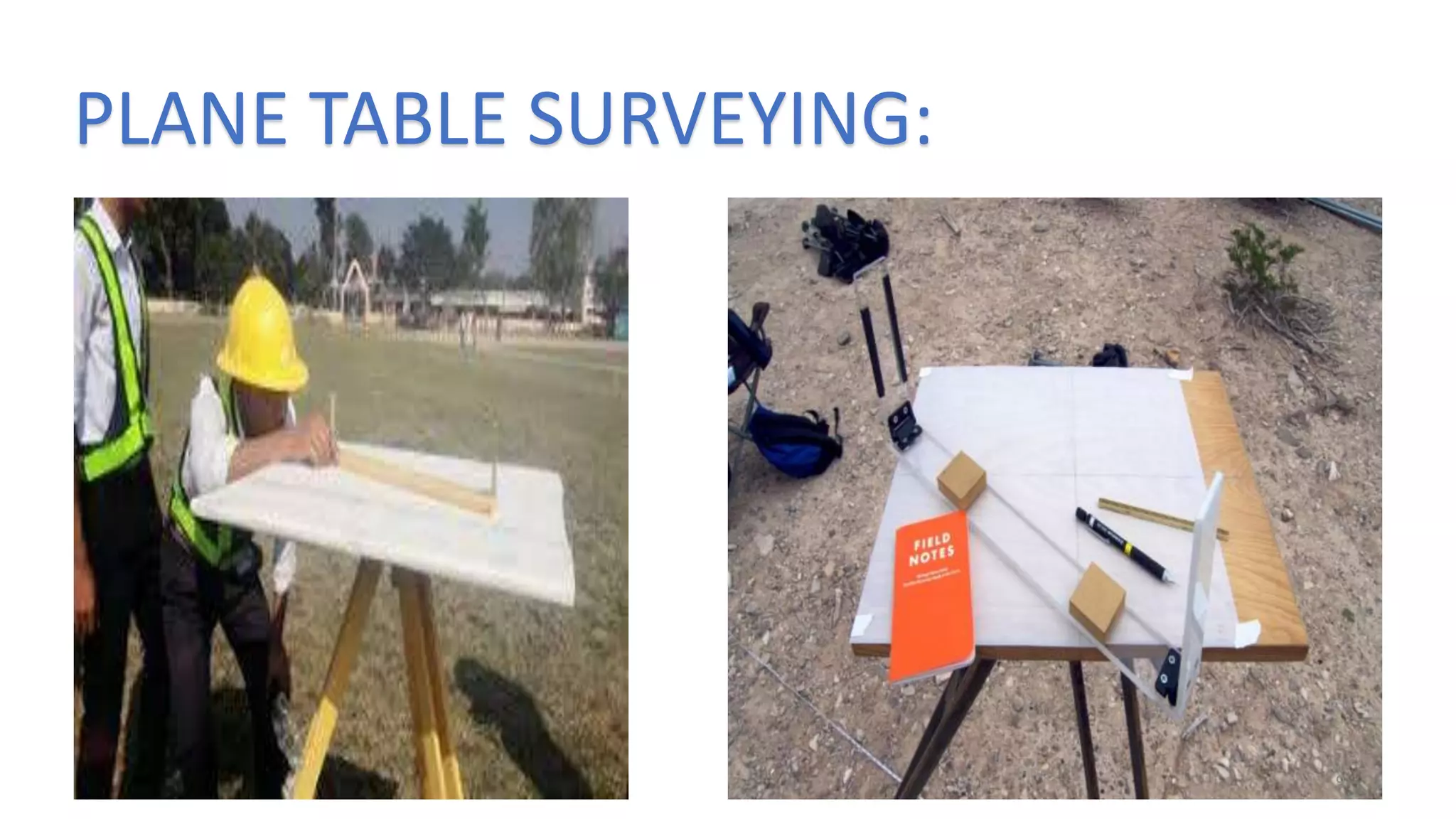
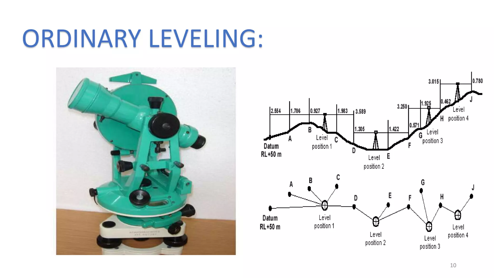
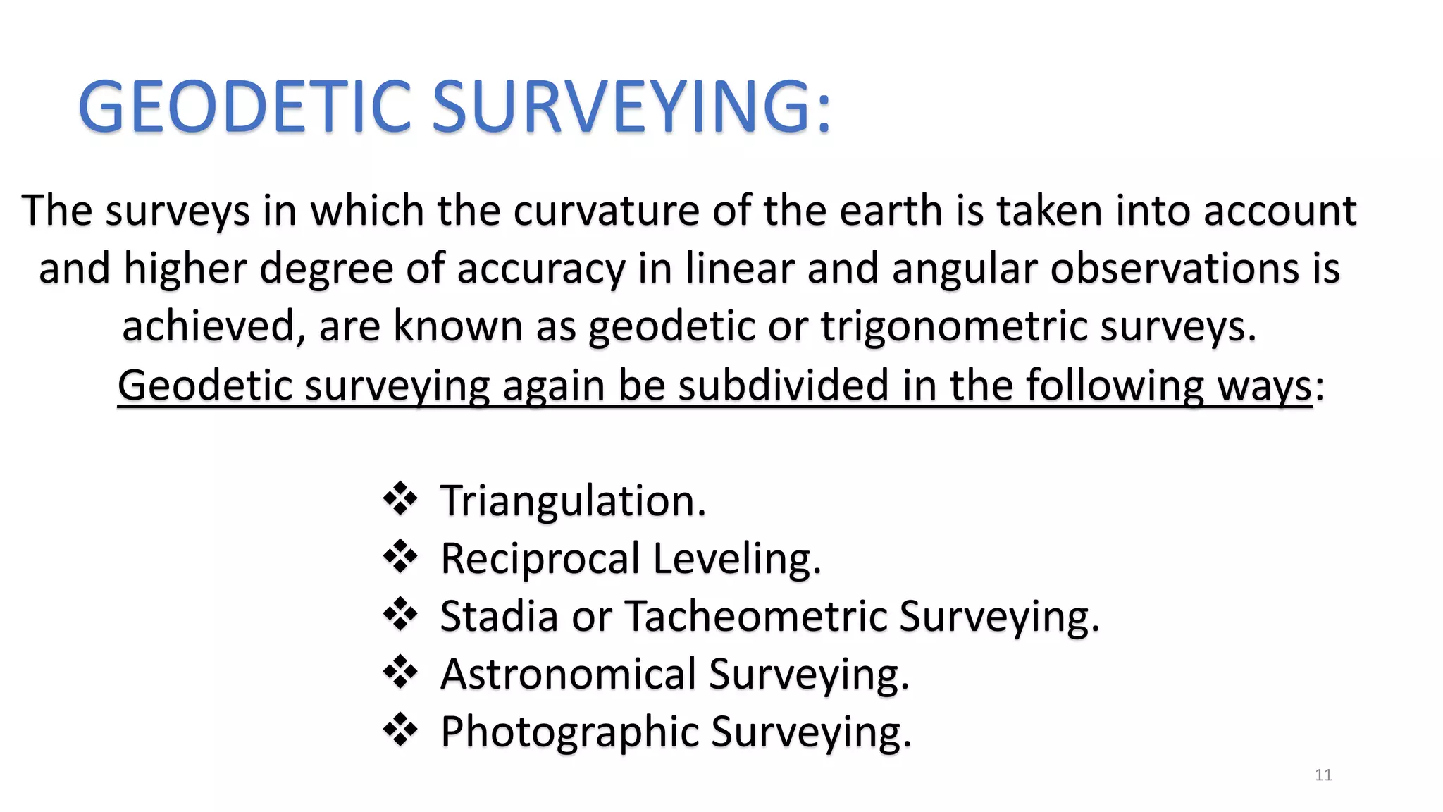
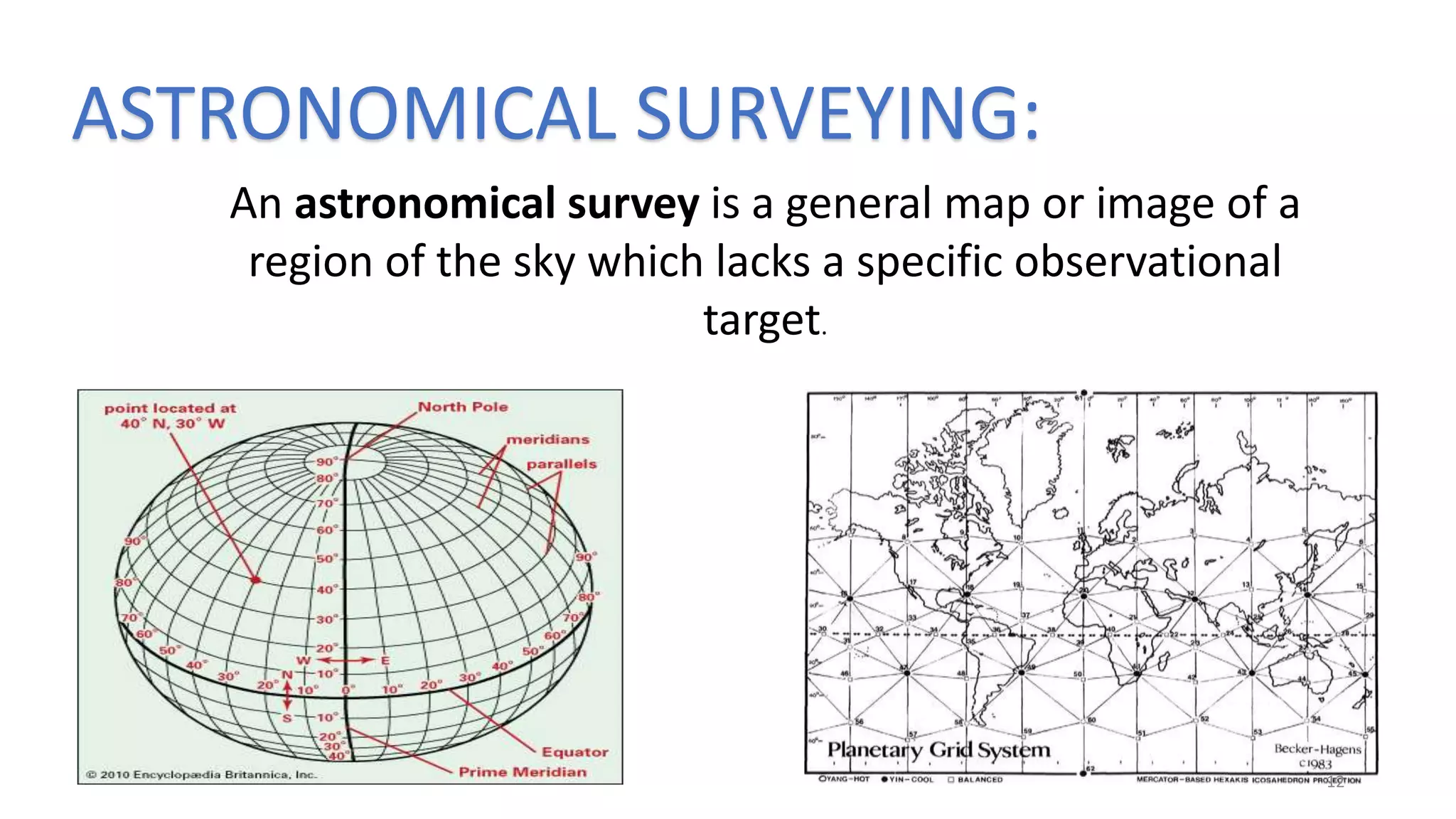
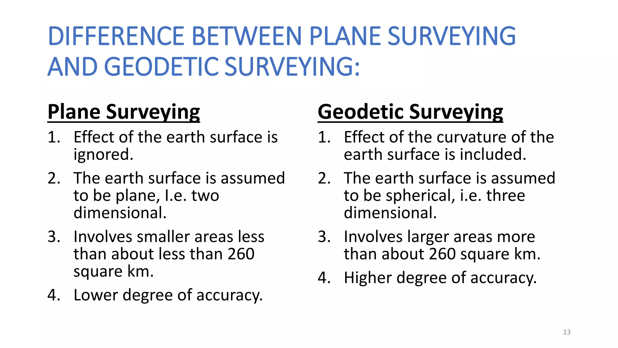
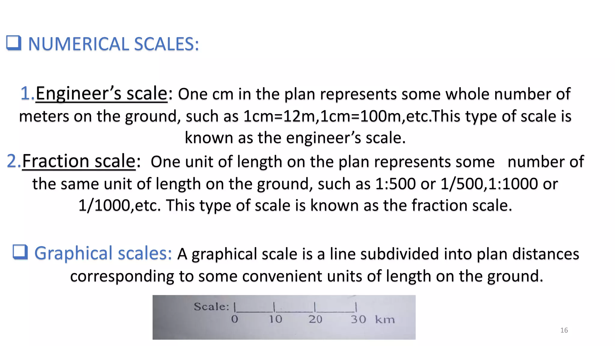
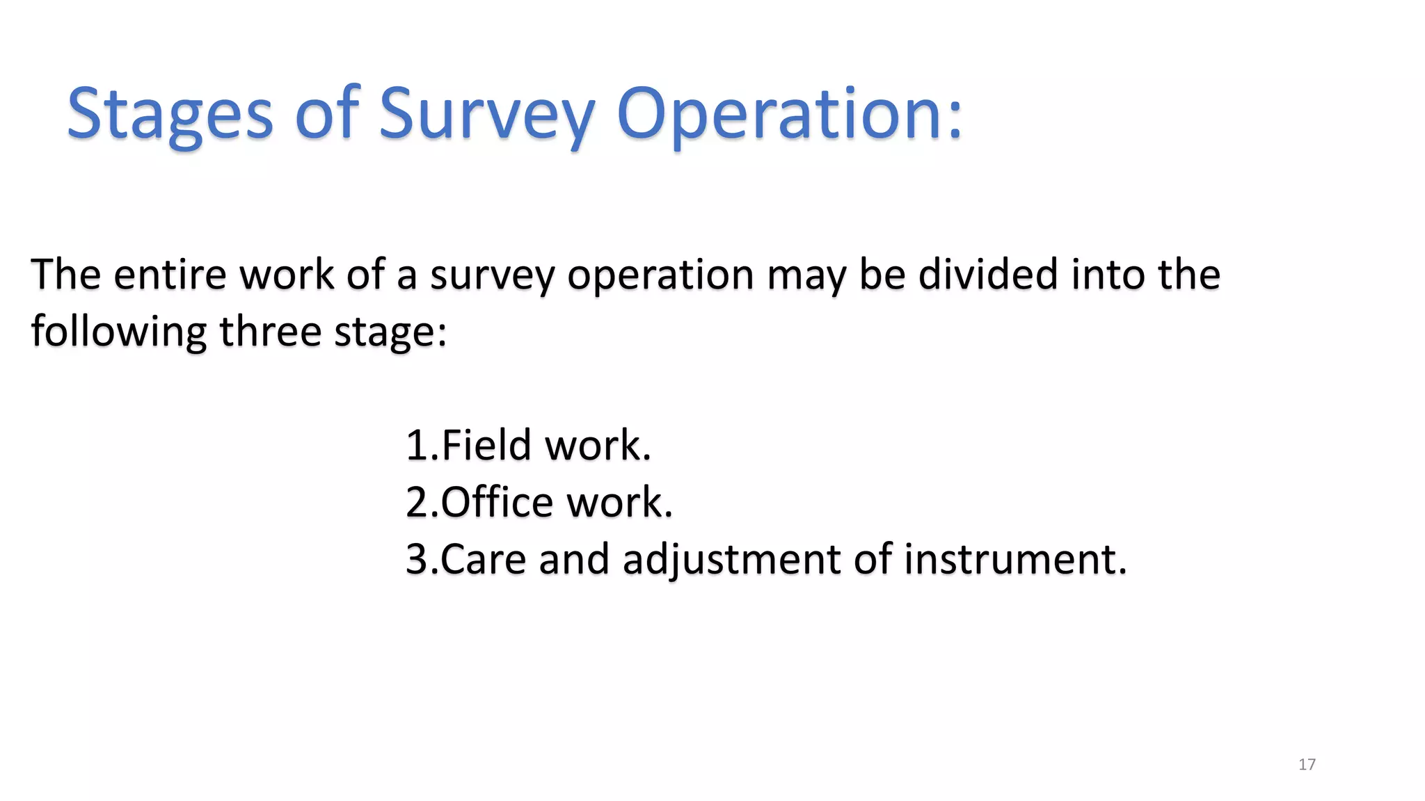
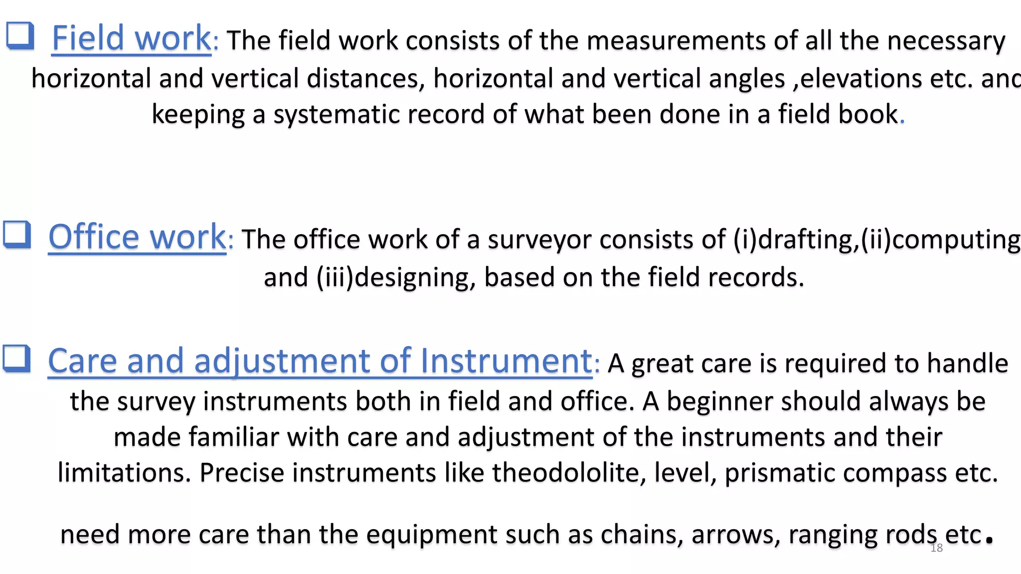
COURSE NAME : Surveying.
1
Chapter 1: Introduction.
CONTENTS:
 Definition .
 Primary divisions of surveying.
 Plane surveying.
 Geodetic surveying.
 Importance of surveying.
 Scales.
 Stage of survey operations. 2
3
Md Sakib hasan khan.
Student at , Mymensingh Engineering College.
Mymensingh, Bangladesh.
Prepared by
DEFINITION :
Surveying is the art of finding the relative positions of
different features above ,on or beneath the surface of
the earth by taking measurements of distance ,
directions and elevations and
finally representing them as plans, maps and sections.
4
PRIMARY DIVISIONS OF SURVEYING:
The surveying divided into two
divisions:
1.Plane surveying.
2.Geodetic surveying.
5
PLANE SURVEYING:
The surveys in which the earth is assumed to be plane and the
curvature of the earth is ignored are known as plane surveys.
Plane surveying again be subdivided in the following ways:
 Chain surveying .
 Traverse Surveying.
 Plane table surveying.
 Ordinary leveling.
6
CHAIN SURVEYING:
7
TRAVERSE SURVEYING :
8
PLANE TABLE SURVEYING:
9
ORDINARY LEVELING:
10
GEODETIC SURVEYING:
The surveys in which the curvature of the earth is taken into account
and higher degree of accuracy in linear and angular observations is
achieved, are known as geodetic or trigonometric surveys.
Geodetic surveying again be subdivided in the following ways:
 Triangulation.
 Reciprocal Leveling.
 Stadia or Tacheometric Surveying.
 Astronomical Surveying.
 Photographic Surveying.
11
ASTRONOMICAL SURVEYING:
An astronomical survey is a general map or image of a
region of the sky which lacks a specific observational
target.
12
DIFFERENCE BETWEEN PLANE SURVEYING
AND GEODETIC SURVEYING:
Plane Surveying
1. Effect of the earth surface is
ignored.
2. The earth surface is assumed
to be plane, I.e. two
dimensional.
3. Involves smaller areas less
than about less than 260
square km.
4. Lower degree of accuracy.
Geodetic Surveying
1. Effect of the curvature of the
earth surface is included.
2. The earth surface is assumed
to be spherical, i.e. three
dimensional.
3. Involves larger areas more
than about 260 square km.
4. Higher degree of accuracy.
13
IMPORTANCE OF SURVEYING:
Map the earth above and below sea level.
Prepare navigational charts for use on the air, on land and at sea.
Establish property boundaries of private and public lands.
Develop data banks of land use to manage the environment.
Determine facts on the size, shape and magnetic fields of the earth.
Prepare charts of our moon and planets.
14
SCALES:
Scales is a fixed ratio that every distance on the plan bears with
corresponding distance on the ground.
Scales can be represented by the following two methods:
1.Numerical scales.
2.Graphical scales.
15
 NUMERICAL SCALES:
1.Engineer’s scale: One cm in the plan represents some whole number of
meters on the ground, such as 1cm=12m,1cm=100m,etc.This type of scale is
known as the engineer’s scale.
2.Fraction scale: One unit of length on the plan represents some number of
the same unit of length on the ground, such as 1:500 or 1/500,1:1000 or
1/1000,etc. This type of scale is known as the fraction scale.
 Graphical scales: A graphical scale is a line subdivided into plan distances
corresponding to some convenient units of length on the ground.
16
Stages of Survey Operation:
The entire work of a survey operation may be divided into the
following three stage:
1.Field work.
2.Office work.
3.Care and adjustment of instrument.
17
 Field work: The field work consists of the measurements of all the necessary
horizontal and vertical distances, horizontal and vertical angles ,elevations etc. and
keeping a systematic record of what been done in a field book.
 Office work: The office work of a surveyor consists of (i)drafting,(ii)computing
and (iii)designing, based on the field records.
 Care and adjustment of Instrument: A great care is required to handle
the survey instruments both in field and office. A beginner should always be
made familiar with care and adjustment of the instruments and their
limitations. Precise instruments like theodololite, level, prismatic compass etc.
need more care than the equipment such as chains, arrows, ranging rods etc.18
19
REFERENCE :
WWW. GOOGLE .COM
THANK YOU
20

Introduction of surveying in Civil Engineering.

  • 1.
    COURSE NAME :Surveying. 1 Chapter 1: Introduction.
  • 2.
    CONTENTS:  Definition . Primary divisions of surveying.  Plane surveying.  Geodetic surveying.  Importance of surveying.  Scales.  Stage of survey operations. 2
  • 3.
    3 Md Sakib hasankhan. Student at , Mymensingh Engineering College. Mymensingh, Bangladesh. Prepared by
  • 4.
    DEFINITION : Surveying isthe art of finding the relative positions of different features above ,on or beneath the surface of the earth by taking measurements of distance , directions and elevations and finally representing them as plans, maps and sections. 4
  • 5.
    PRIMARY DIVISIONS OFSURVEYING: The surveying divided into two divisions: 1.Plane surveying. 2.Geodetic surveying. 5
  • 6.
    PLANE SURVEYING: The surveysin which the earth is assumed to be plane and the curvature of the earth is ignored are known as plane surveys. Plane surveying again be subdivided in the following ways:  Chain surveying .  Traverse Surveying.  Plane table surveying.  Ordinary leveling. 6
  • 7.
  • 8.
  • 9.
  • 10.
  • 11.
    GEODETIC SURVEYING: The surveysin which the curvature of the earth is taken into account and higher degree of accuracy in linear and angular observations is achieved, are known as geodetic or trigonometric surveys. Geodetic surveying again be subdivided in the following ways:  Triangulation.  Reciprocal Leveling.  Stadia or Tacheometric Surveying.  Astronomical Surveying.  Photographic Surveying. 11
  • 12.
    ASTRONOMICAL SURVEYING: An astronomicalsurvey is a general map or image of a region of the sky which lacks a specific observational target. 12
  • 13.
    DIFFERENCE BETWEEN PLANESURVEYING AND GEODETIC SURVEYING: Plane Surveying 1. Effect of the earth surface is ignored. 2. The earth surface is assumed to be plane, I.e. two dimensional. 3. Involves smaller areas less than about less than 260 square km. 4. Lower degree of accuracy. Geodetic Surveying 1. Effect of the curvature of the earth surface is included. 2. The earth surface is assumed to be spherical, i.e. three dimensional. 3. Involves larger areas more than about 260 square km. 4. Higher degree of accuracy. 13
  • 14.
    IMPORTANCE OF SURVEYING: Mapthe earth above and below sea level. Prepare navigational charts for use on the air, on land and at sea. Establish property boundaries of private and public lands. Develop data banks of land use to manage the environment. Determine facts on the size, shape and magnetic fields of the earth. Prepare charts of our moon and planets. 14
  • 15.
    SCALES: Scales is afixed ratio that every distance on the plan bears with corresponding distance on the ground. Scales can be represented by the following two methods: 1.Numerical scales. 2.Graphical scales. 15
  • 16.
     NUMERICAL SCALES: 1.Engineer’sscale: One cm in the plan represents some whole number of meters on the ground, such as 1cm=12m,1cm=100m,etc.This type of scale is known as the engineer’s scale. 2.Fraction scale: One unit of length on the plan represents some number of the same unit of length on the ground, such as 1:500 or 1/500,1:1000 or 1/1000,etc. This type of scale is known as the fraction scale.  Graphical scales: A graphical scale is a line subdivided into plan distances corresponding to some convenient units of length on the ground. 16
  • 17.
    Stages of SurveyOperation: The entire work of a survey operation may be divided into the following three stage: 1.Field work. 2.Office work. 3.Care and adjustment of instrument. 17
  • 18.
     Field work:The field work consists of the measurements of all the necessary horizontal and vertical distances, horizontal and vertical angles ,elevations etc. and keeping a systematic record of what been done in a field book.  Office work: The office work of a surveyor consists of (i)drafting,(ii)computing and (iii)designing, based on the field records.  Care and adjustment of Instrument: A great care is required to handle the survey instruments both in field and office. A beginner should always be made familiar with care and adjustment of the instruments and their limitations. Precise instruments like theodololite, level, prismatic compass etc. need more care than the equipment such as chains, arrows, ranging rods etc.18
  • 19.
  • 20.