OpenStreetMap.org OSM for short
The Project 
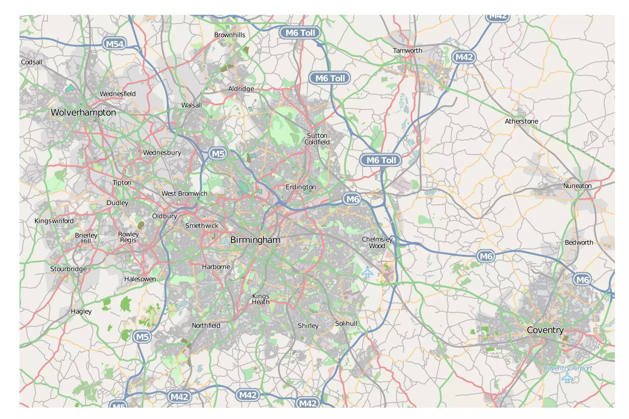
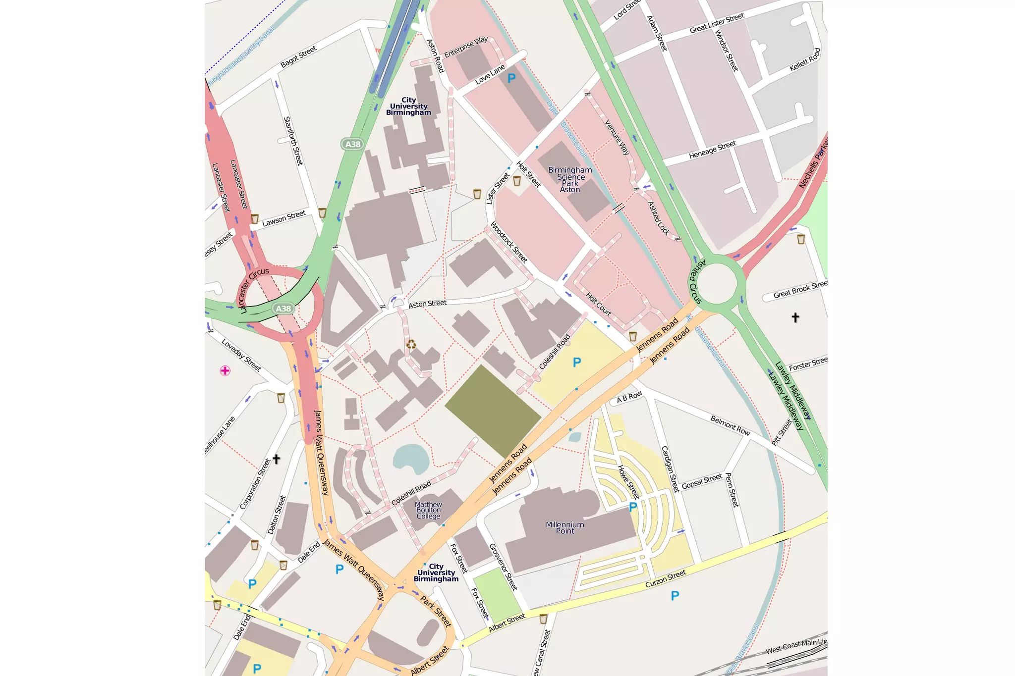
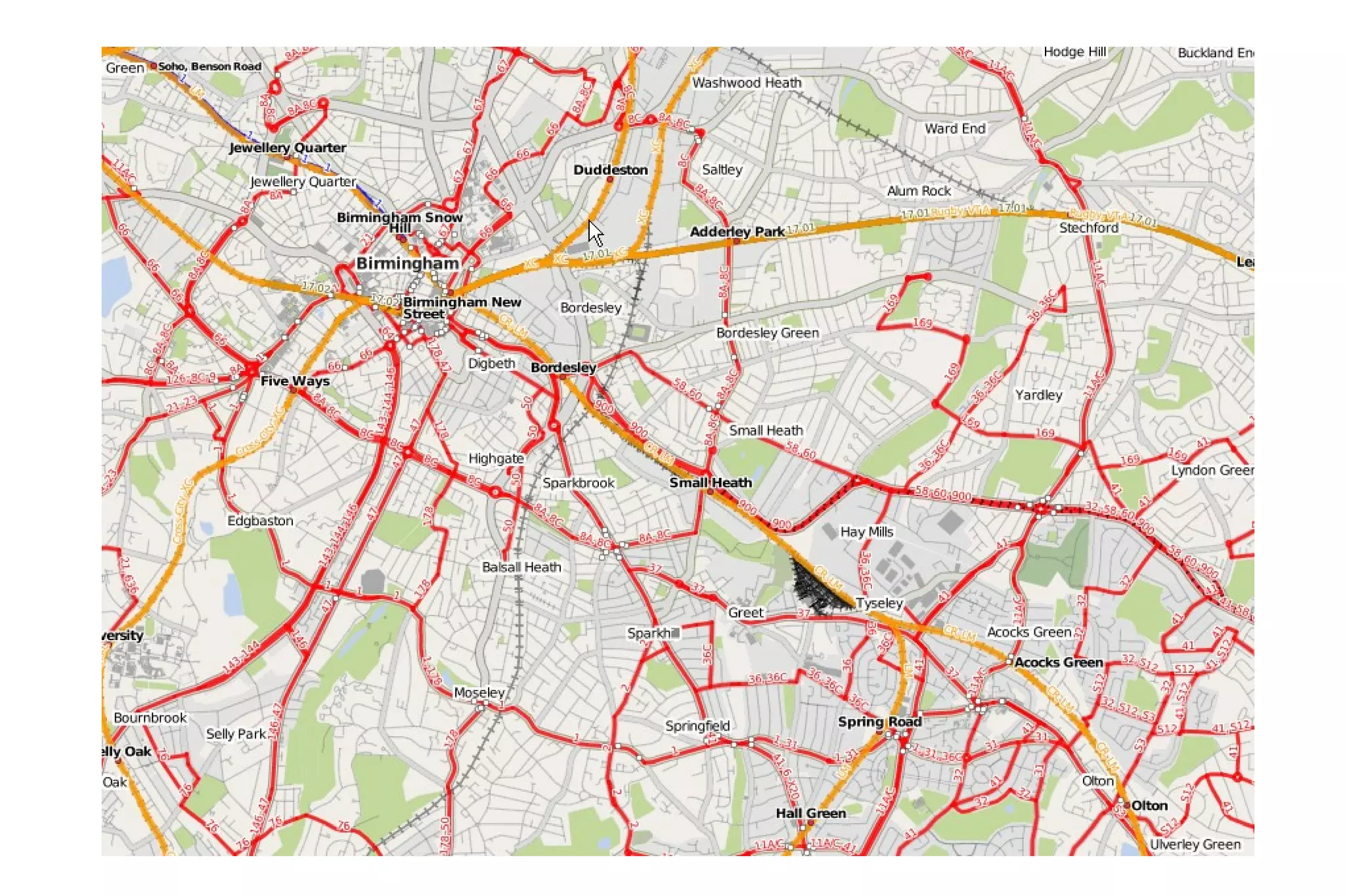
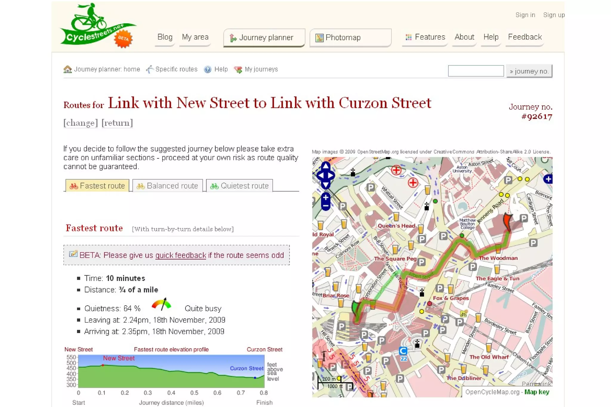
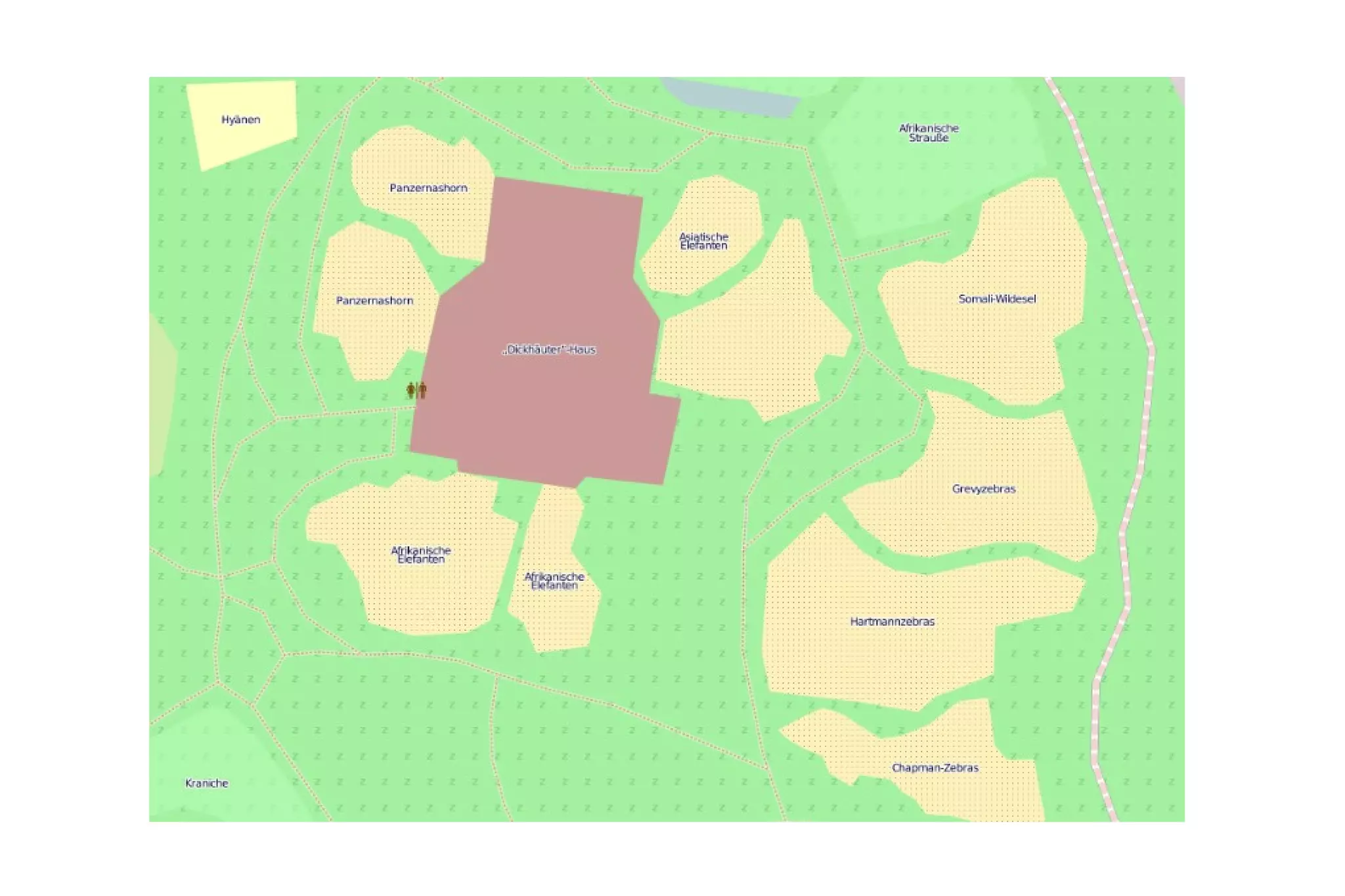
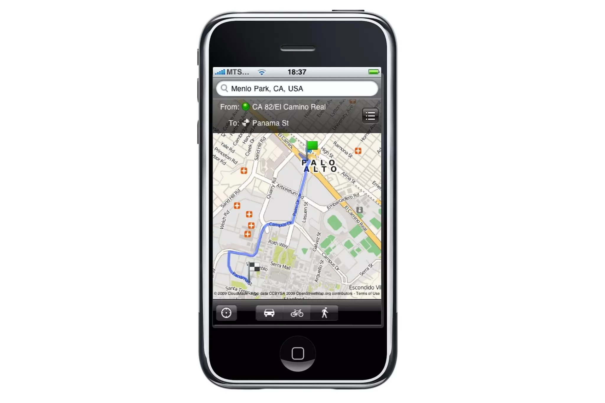
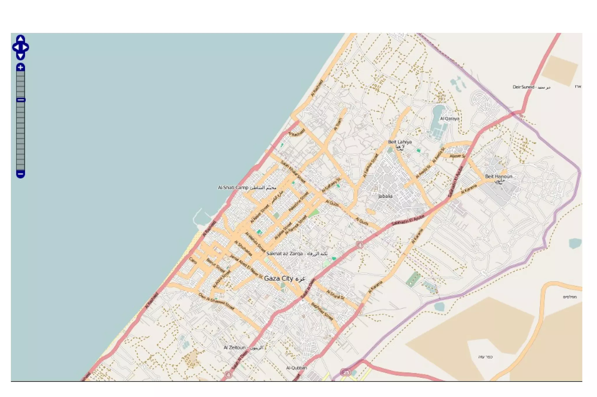
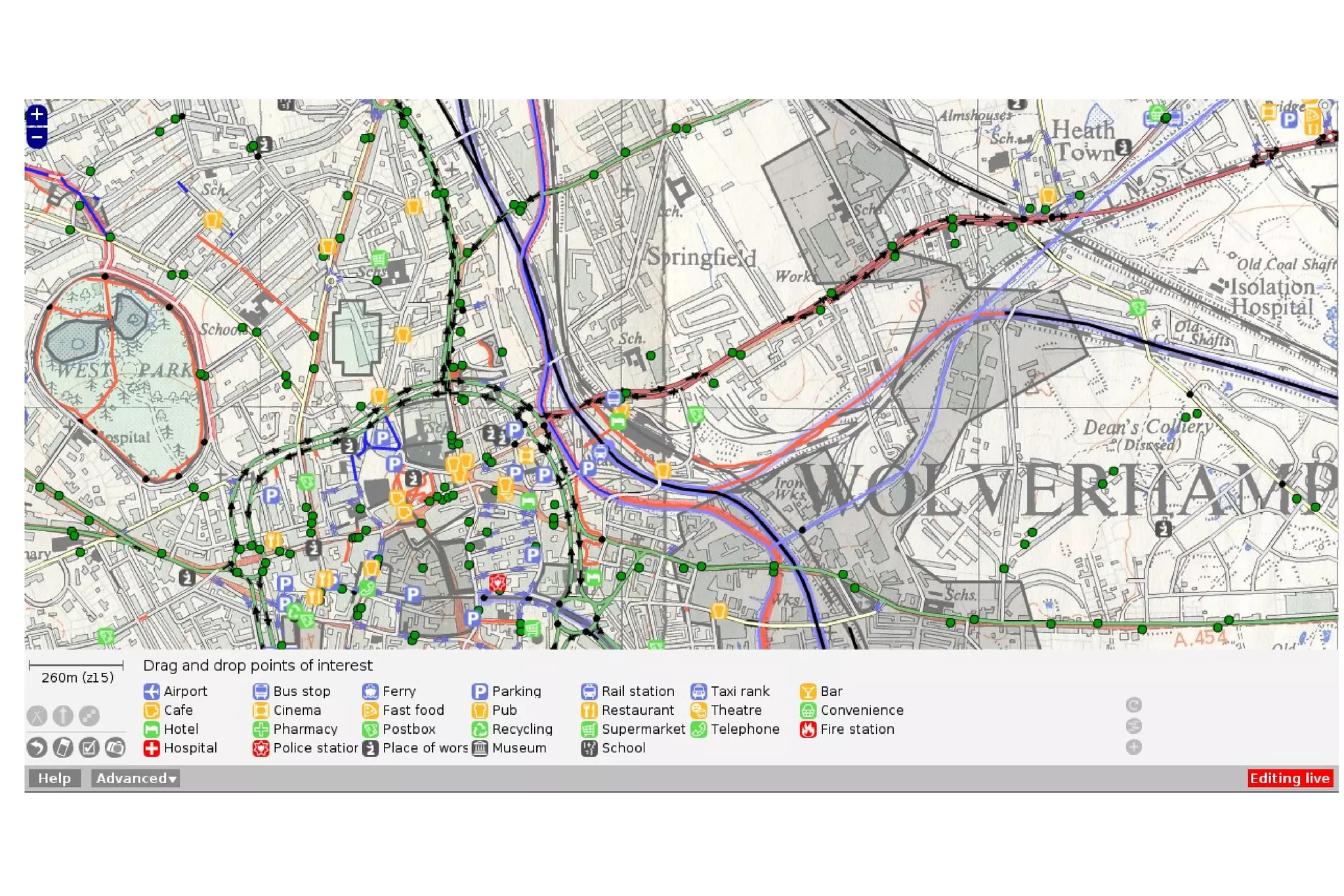
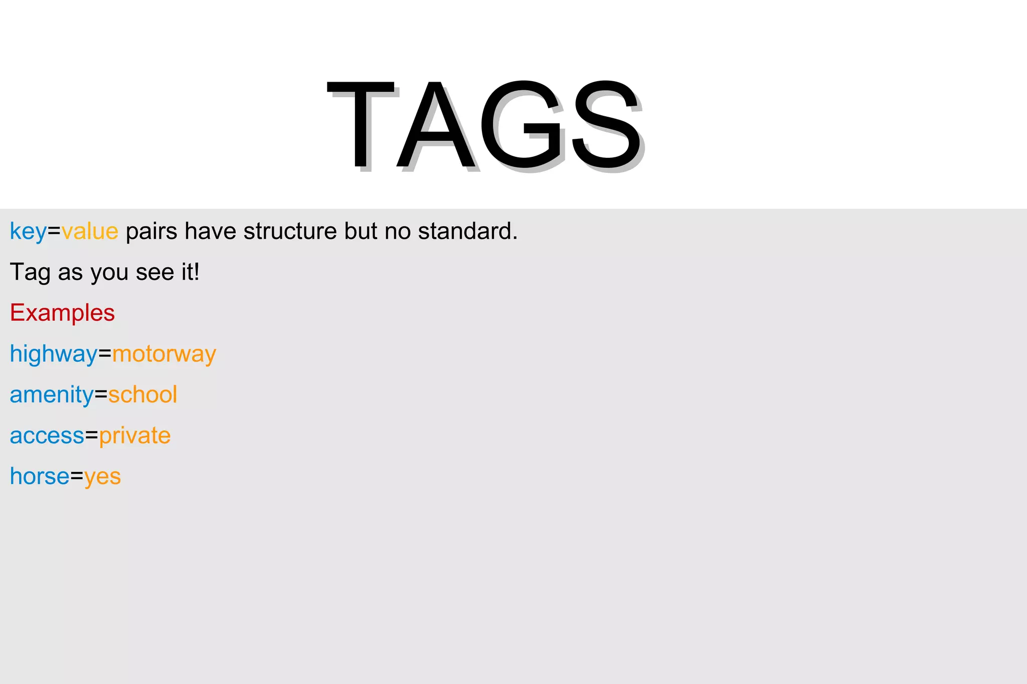
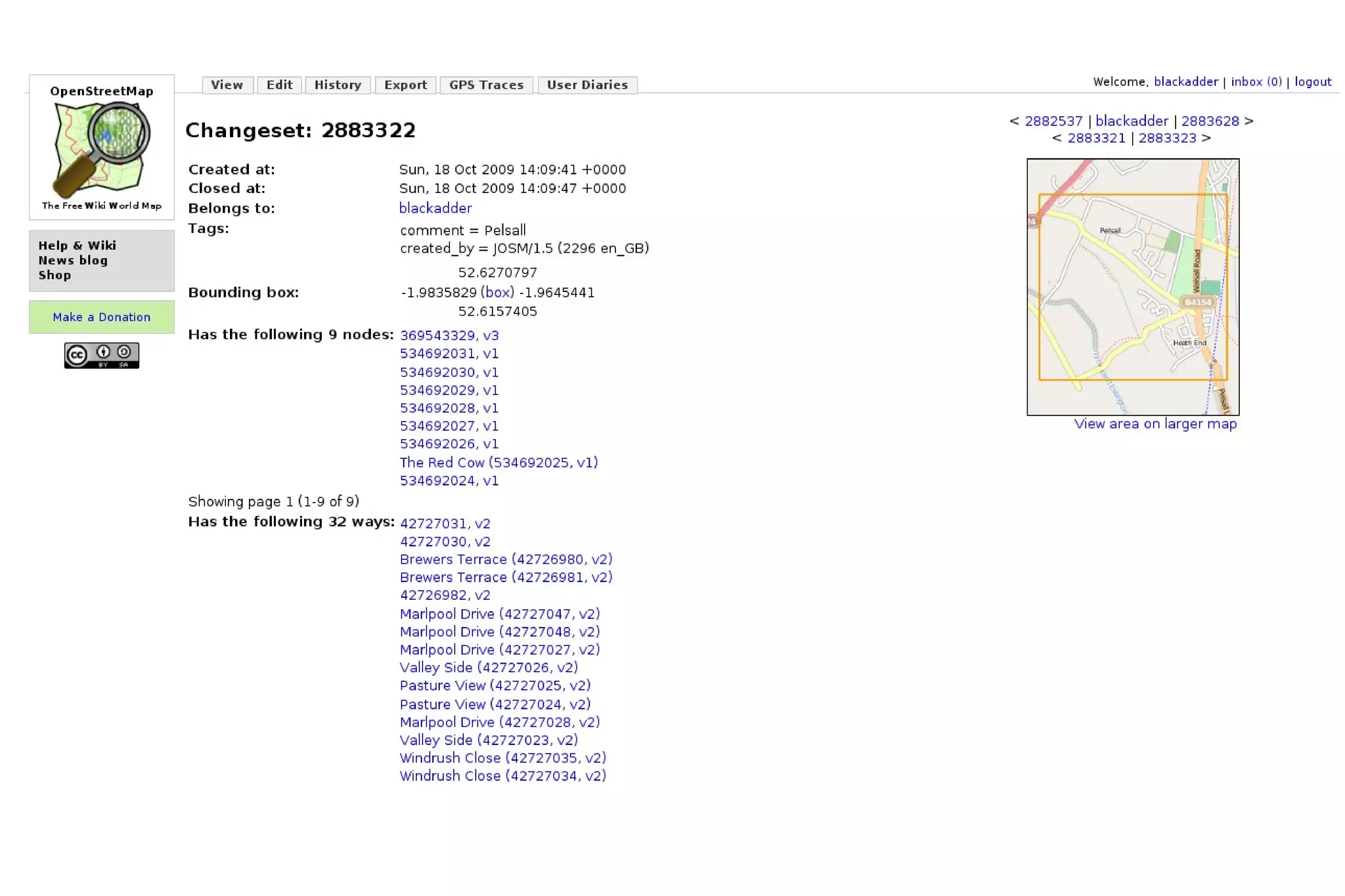
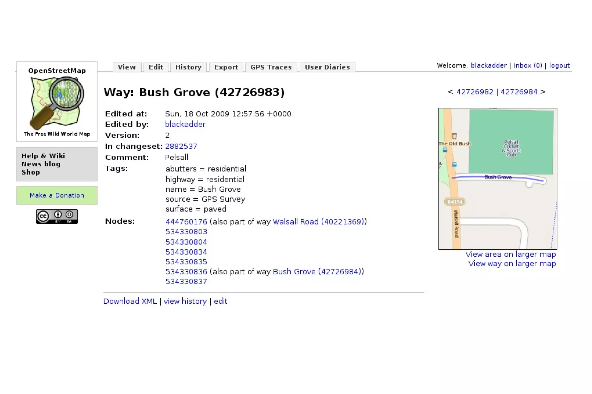
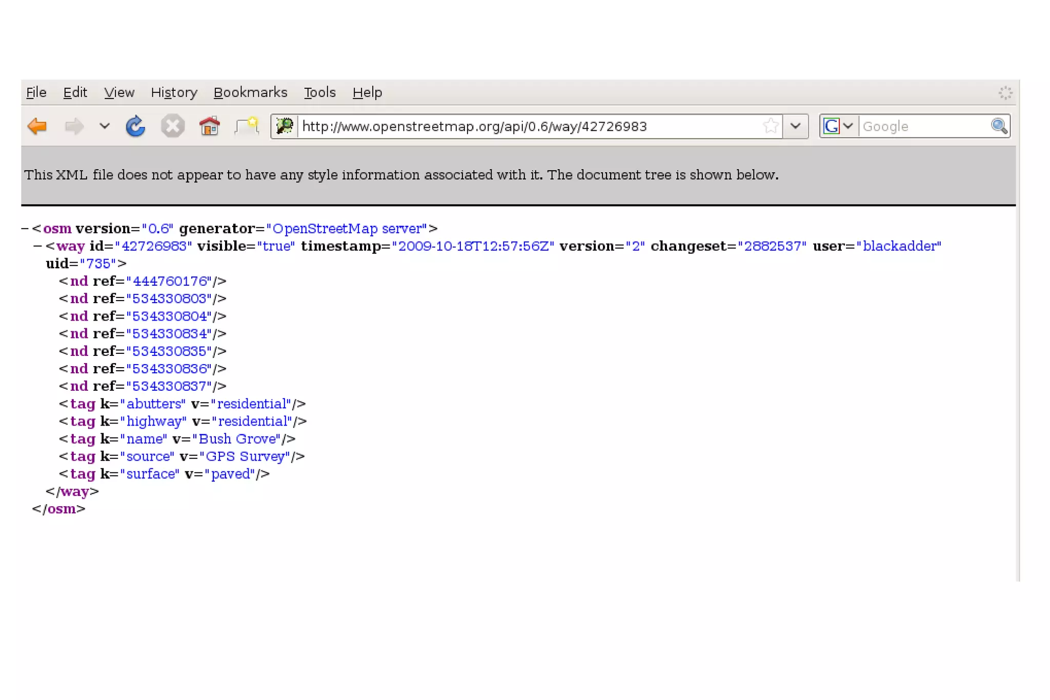
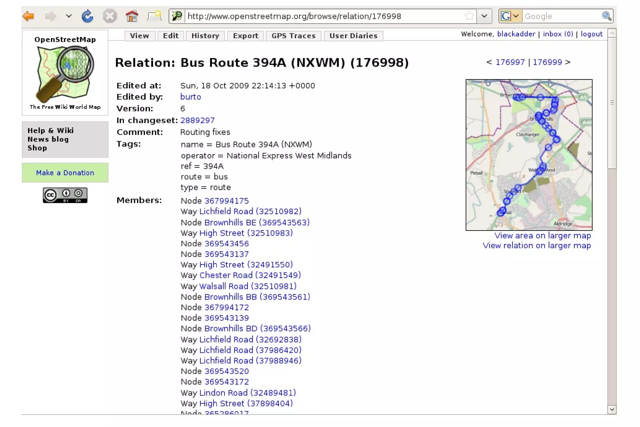
OpenStreetMap is a free editable map of the whole world. It is made by people like you. OpenStreetMap allows you to view, edit and use geographical data in a collaborative way from anywhere on Earth.
The Foundation The OpenStreetMap Foundation is an international non-profit organisation supporting but not controlling the project. It is dedicated to encouraging the growth, development and distribution of free geospatial data and to providing geospatial data for anybody to use and share.


LOCATION & RICHNESS Schools Places of Worship Stiles on Footpaths Pubs that are still open Street Address Local Landmarks ............................ The list is endless


LET'S GO MAPPING


key = value  pairs have structure but no standard.  Tag as you see it! Examples highway = motorway amenity = school access = private horse = yes TAGS
 
ODbL


Wiki
Communication irc://irc.oftc.net/osm Multilingual mailing lists, talk-gb is UK specific The project wiki:  wiki.openstreetmap.org forum.openstreetmap.org Email   users through website
Mapping Events Show you how Loan GPS if needed Help with questions Experienced OSMers on hand
OpenStreetMap.org Andy “blackadder” Robinson TM

Andy Robinson on OpenStreetMap

  • 1.
  • 2.
    The Project OpenStreetMapis a free editable map of the whole world. It is made by people like you. OpenStreetMap allows you to view, edit and use geographical data in a collaborative way from anywhere on Earth.
  • 3.
    The Foundation TheOpenStreetMap Foundation is an international non-profit organisation supporting but not controlling the project. It is dedicated to encouraging the growth, development and distribution of free geospatial data and to providing geospatial data for anybody to use and share.
  • 4.
  • 5.
  • 6.
  • 7.
  • 8.
  • 9.
  • 10.
  • 11.
    LOCATION & RICHNESSSchools Places of Worship Stiles on Footpaths Pubs that are still open Street Address Local Landmarks ............................ The list is endless
  • 12.
  • 13.
  • 14.
  • 15.
  • 16.
  • 17.
  • 18.
  • 19.
  • 20.
    key = value pairs have structure but no standard. Tag as you see it! Examples highway = motorway amenity = school access = private horse = yes TAGS
  • 21.
  • 22.
  • 23.
  • 24.
  • 25.
  • 26.
  • 27.
  • 28.
    Communication irc://irc.oftc.net/osm Multilingualmailing lists, talk-gb is UK specific The project wiki: wiki.openstreetmap.org forum.openstreetmap.org Email users through website
  • 29.
    Mapping Events Showyou how Loan GPS if needed Help with questions Experienced OSMers on hand
  • 30.