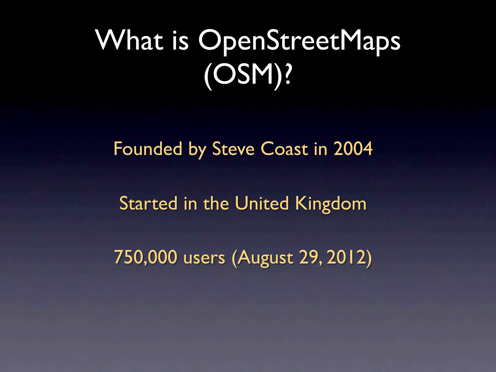
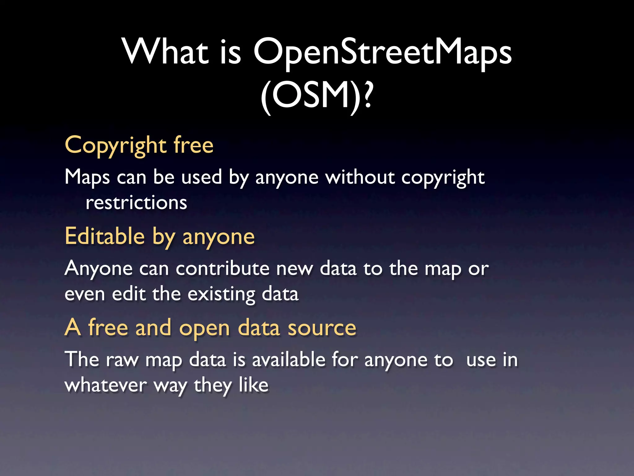
Openstreetmap.org is the most used online map in the world. Over 750,000 people are editing it. Learn how to be one of them and how to use it at school.
3. What is OpenStreetMaps
(OSM)?
Founded by Steve Coast in 2004
Started in the United Kingdom
750,000 users (August 29, 2012)
4. What is OpenStreetMaps
(OSM)?
Copyright free
Maps can be used by anyone without copyright
restrictions
Editable by anyone
Anyone can contribute new data to the map or
even edit the existing data
A free and open data source
The raw map data is available for anyone to use in
whatever way they like
5. Why?
Existing Data not Free & Open
Limits your rights to use the data as you wish
Data as a Static Snapshot
Commercial data may be years old
Existing data not editable
If you discover an error in an existing map,
you cannot instantly edit it
6. On the web
Main site
http://www.openstreetmap.org
Wiki (the first point of call for all
aspects of OSM-related information)
http://wiki.openstreetmap.org/
7. How does it work?
Provide an Open Platform
OSM Users may freely input and extract data
Raw sources for OSM map
GPS track logs
Existing Free Data Sources (eg TIGER/LINE, Ordnance
Survey OpenData)
Historical Maps – Out of Copyright mapping
Bing, Yahoo! Aerial Imagery
Users Create Map from Raw Sources
Via Online and Offline Editing Software
8. Building Blocks
Minimal Data Set for Maximum Flexibility
Nodes
Ways
Tags –Annotations as key/value pairs
Full User History and Rollback ability
9. In-field Mapping
•Survey the ground using a GPS
•Upload the GPS track to the
OpenStreetMap site
•Mark sites of interest as waypoints
•Use an OSM editor to create the
actual map data
14. Editing Your School
• Go to openstreetmap.org
• Log into your account
• Search for your school
• Edit the road/driveway for the school
• Add a parking lot
• Draw the school building