Download to read offline
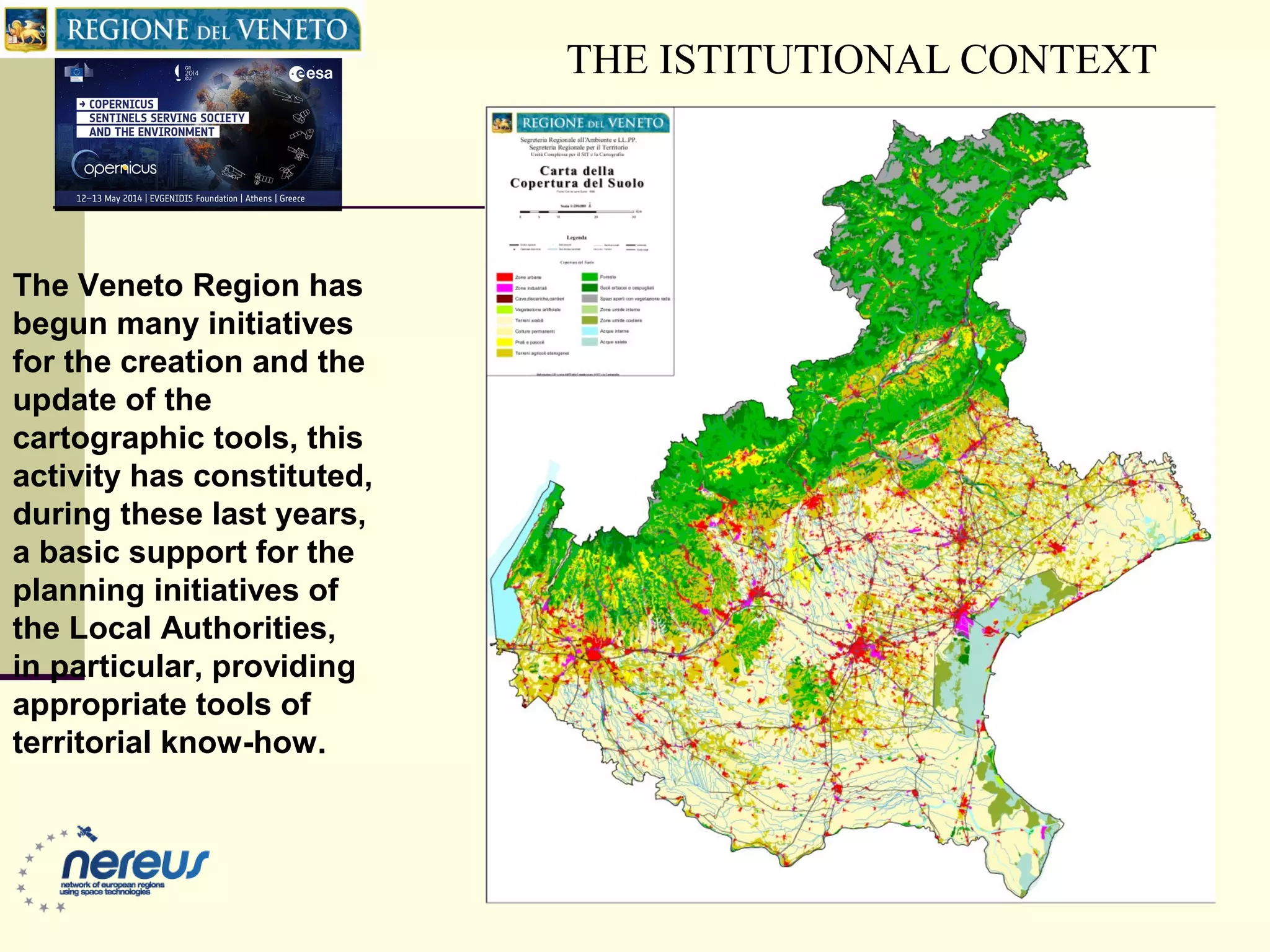
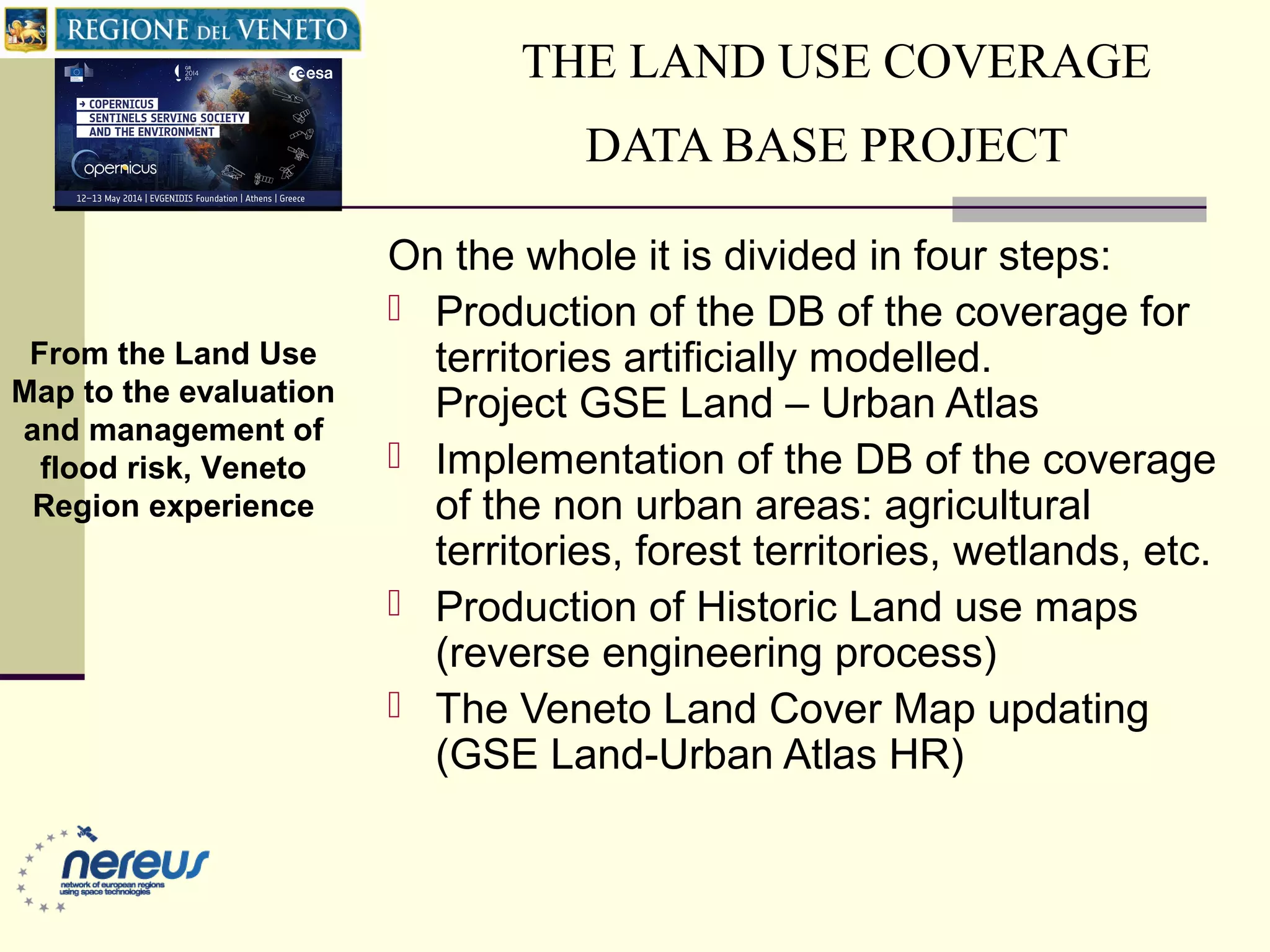

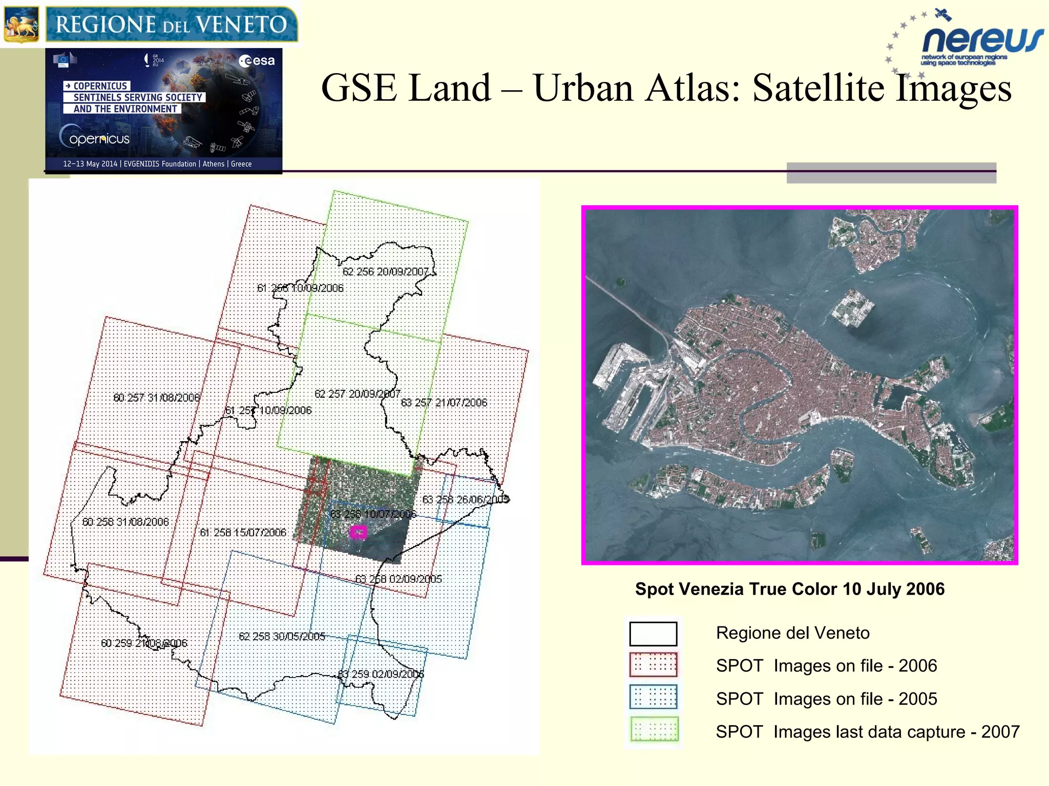
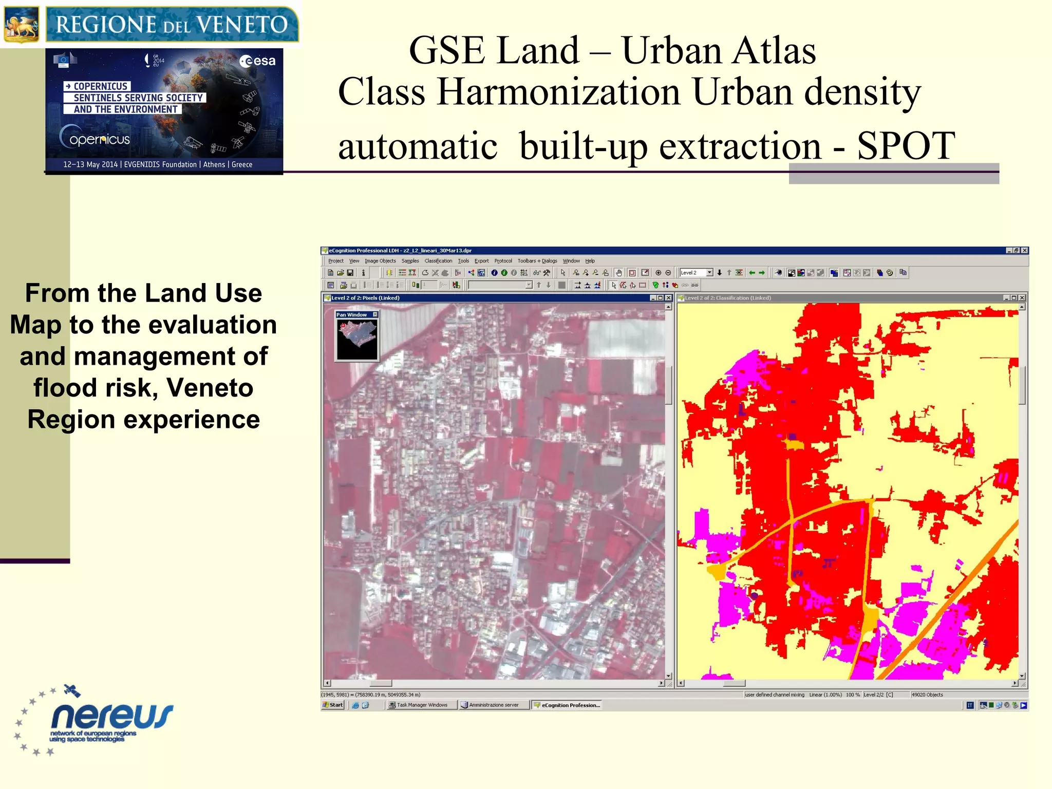
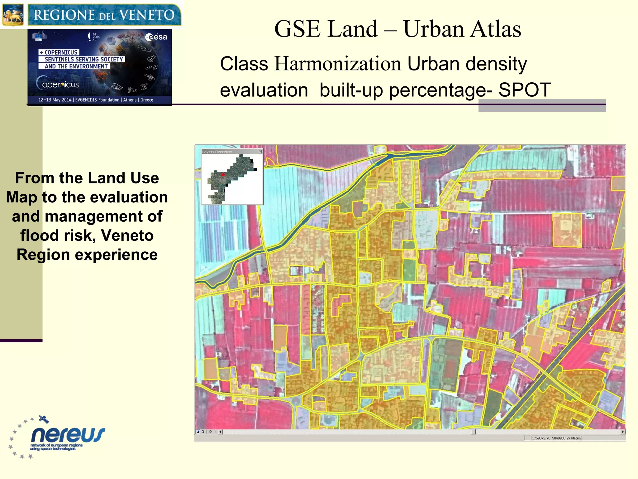
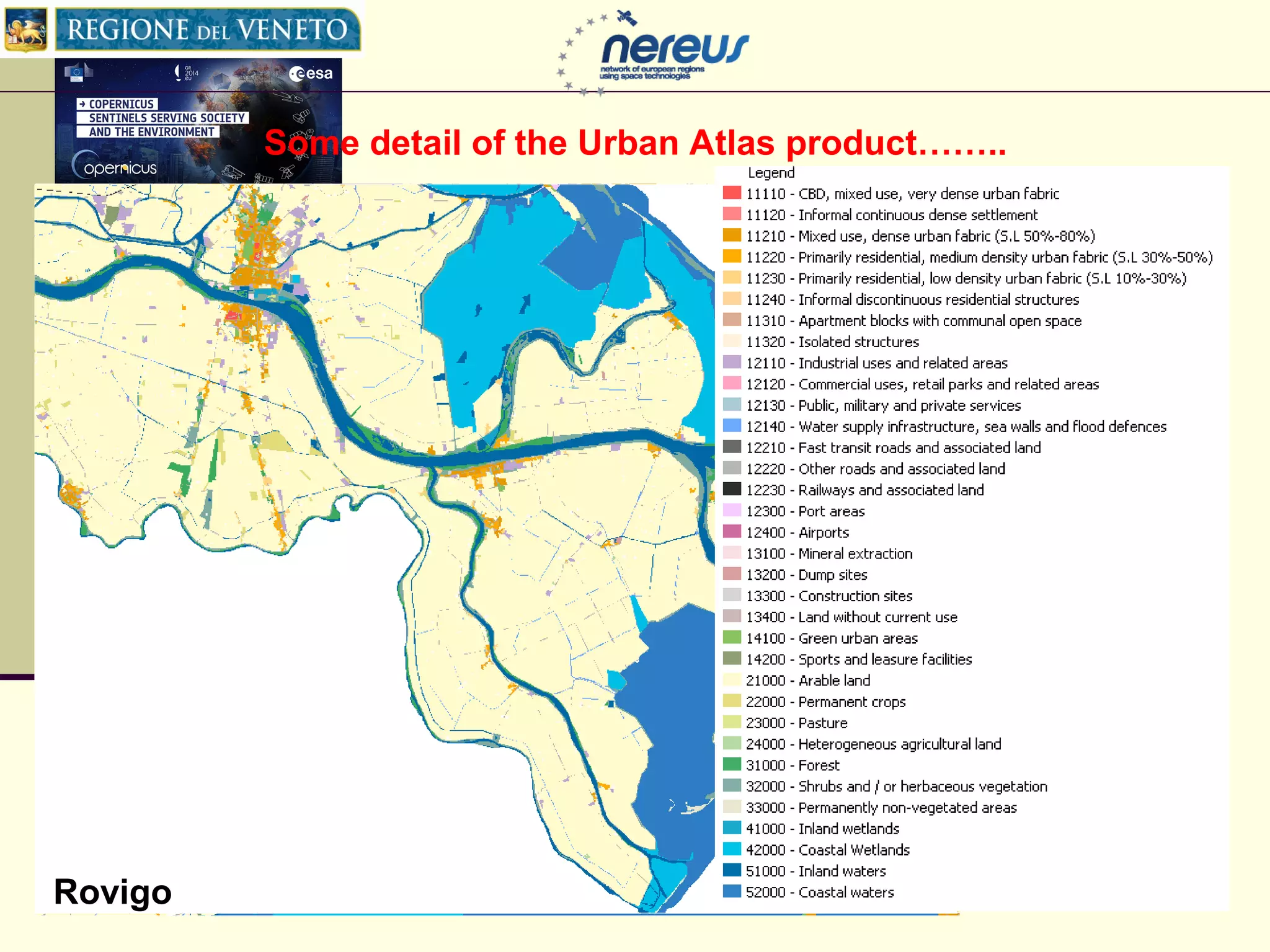
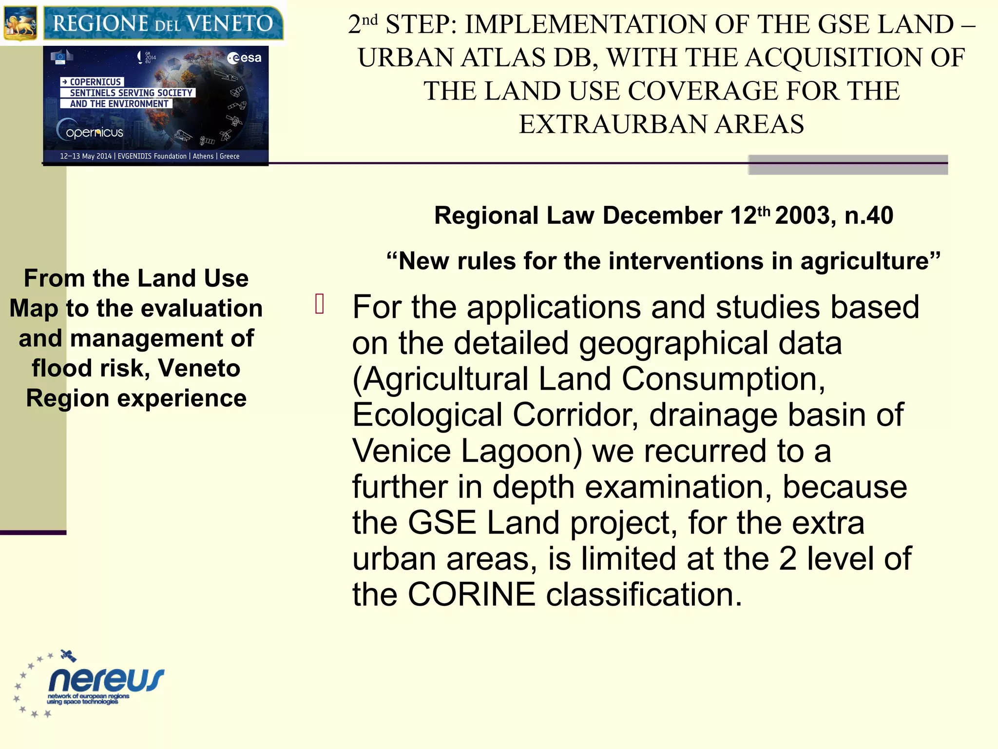
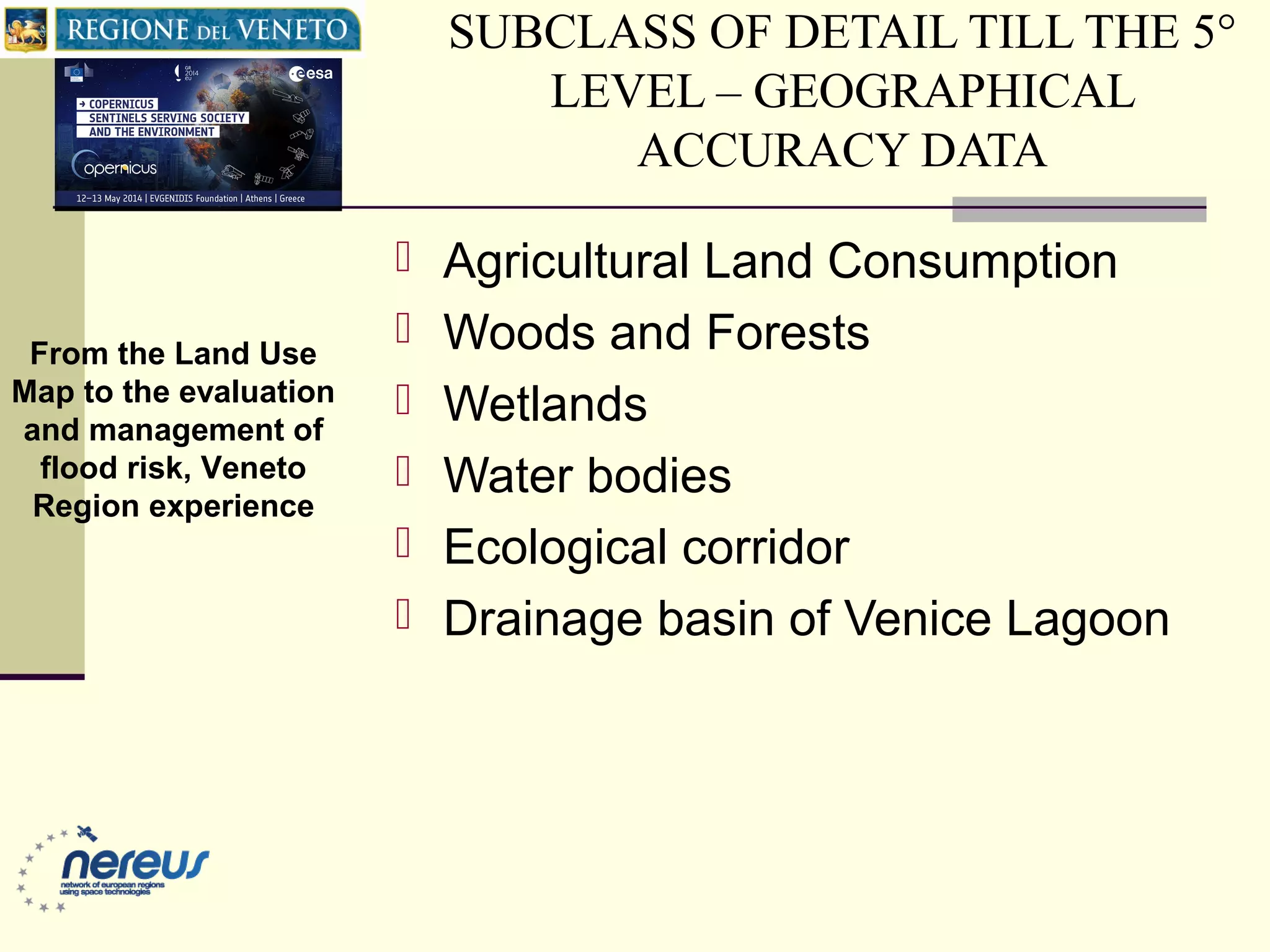
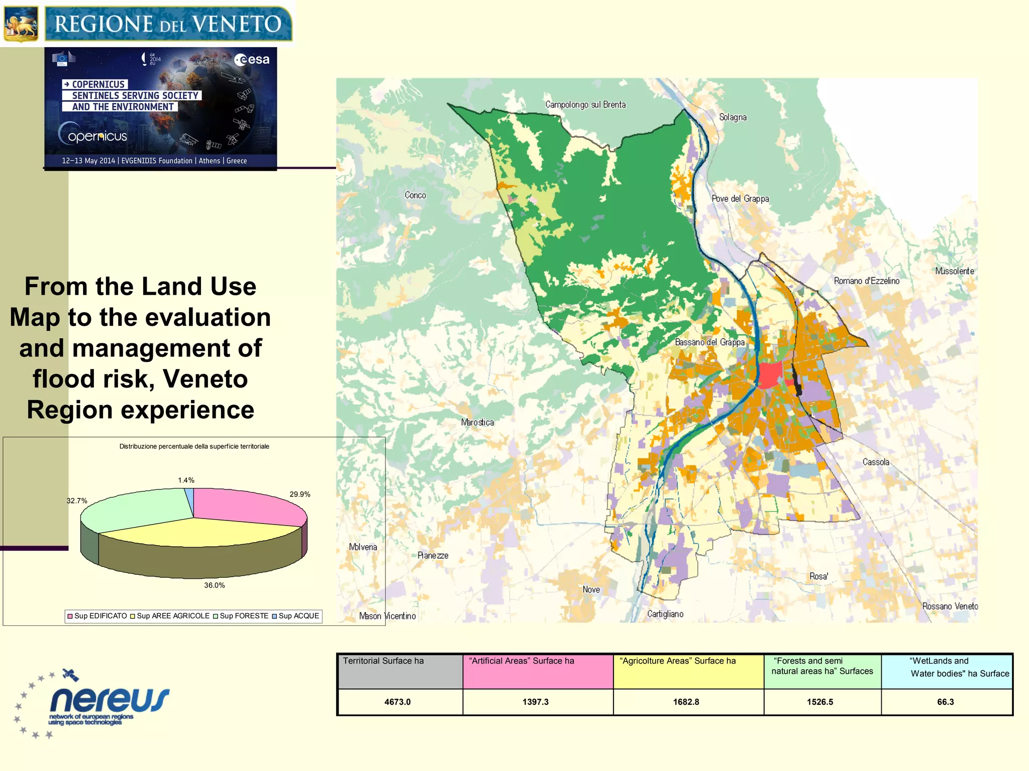
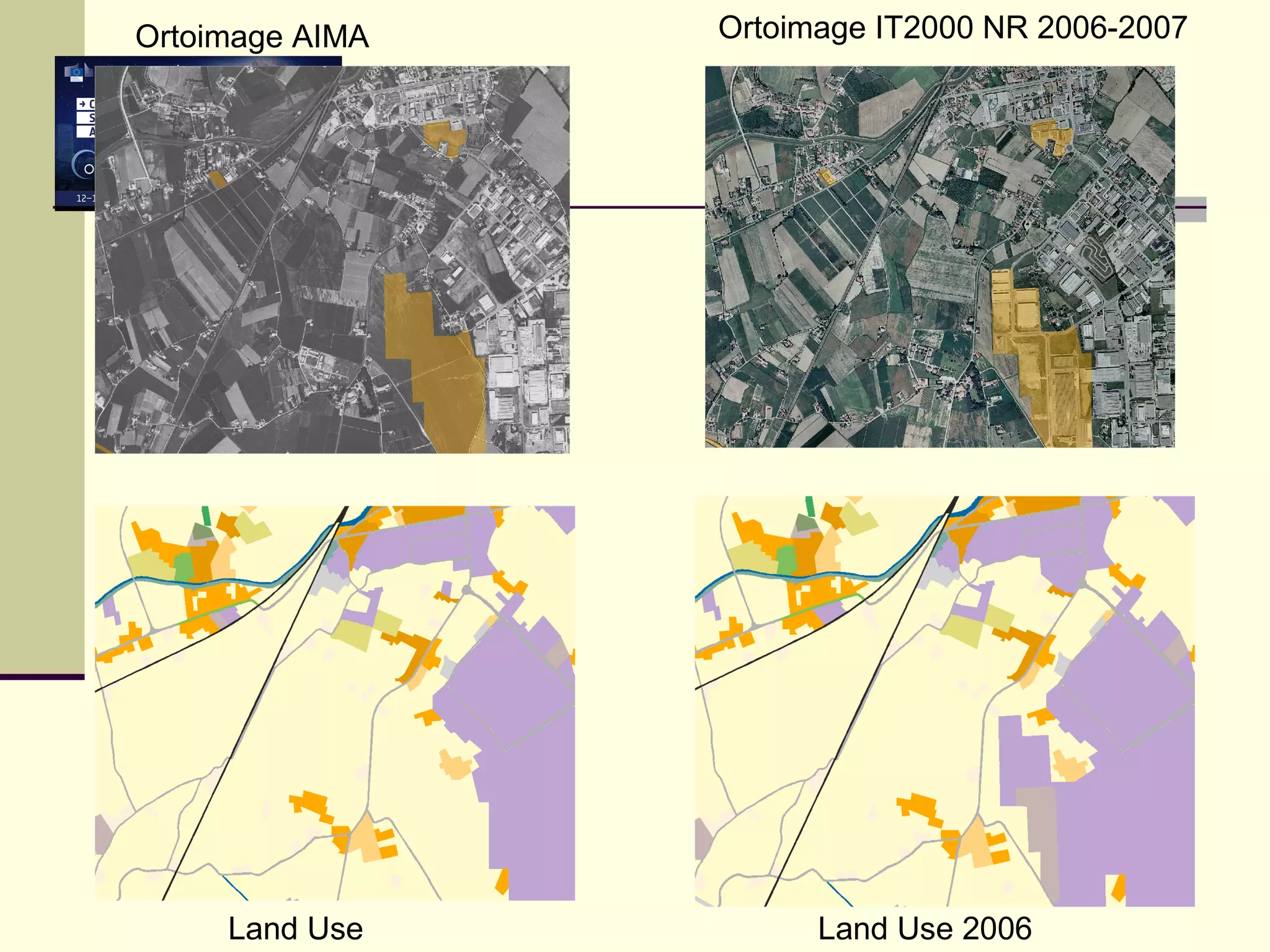
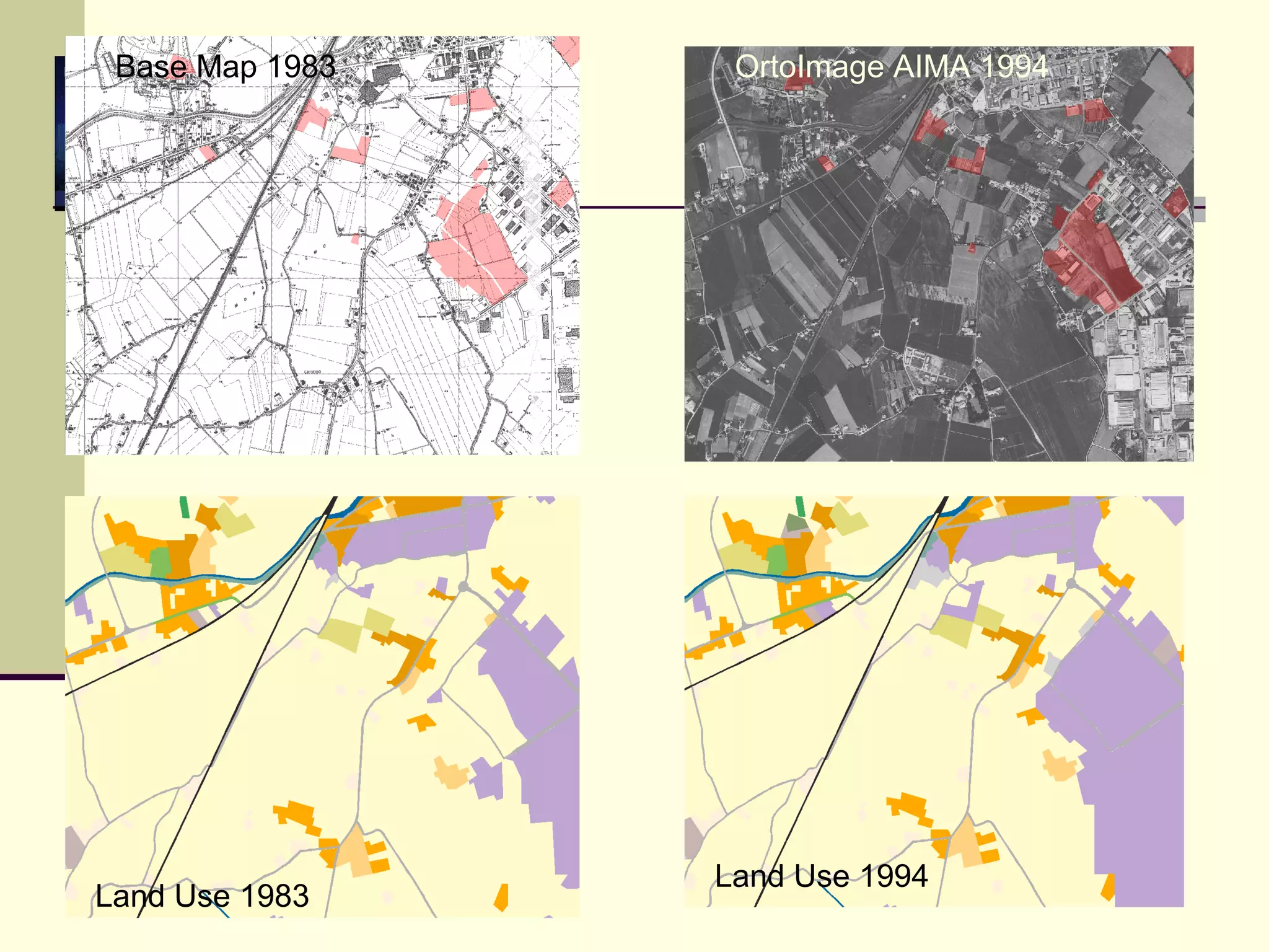

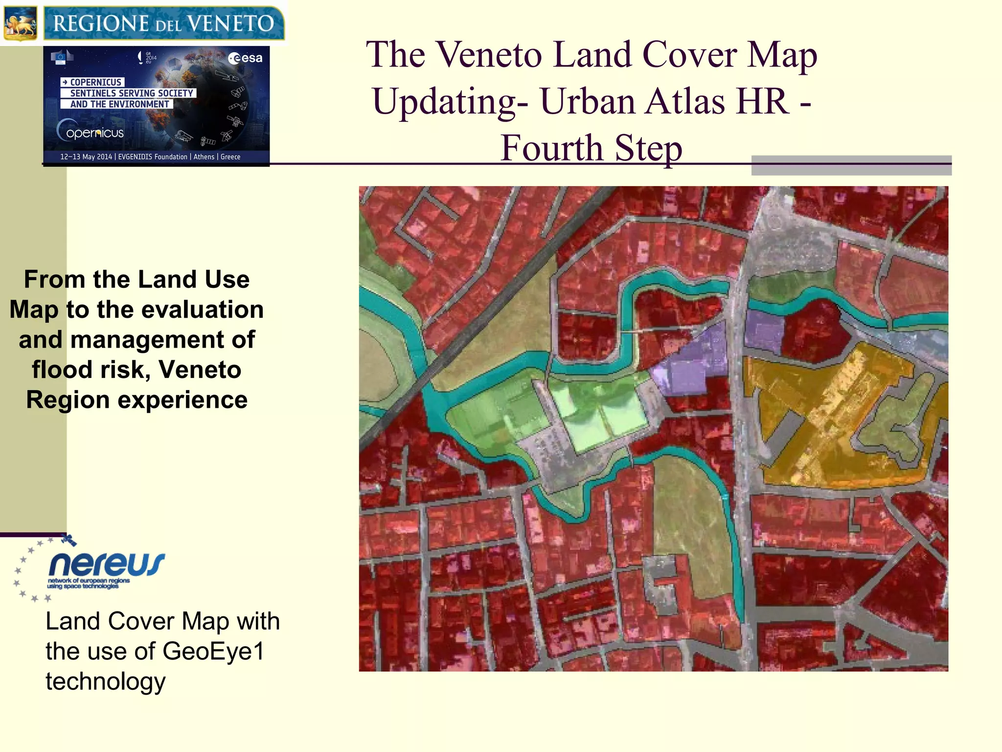
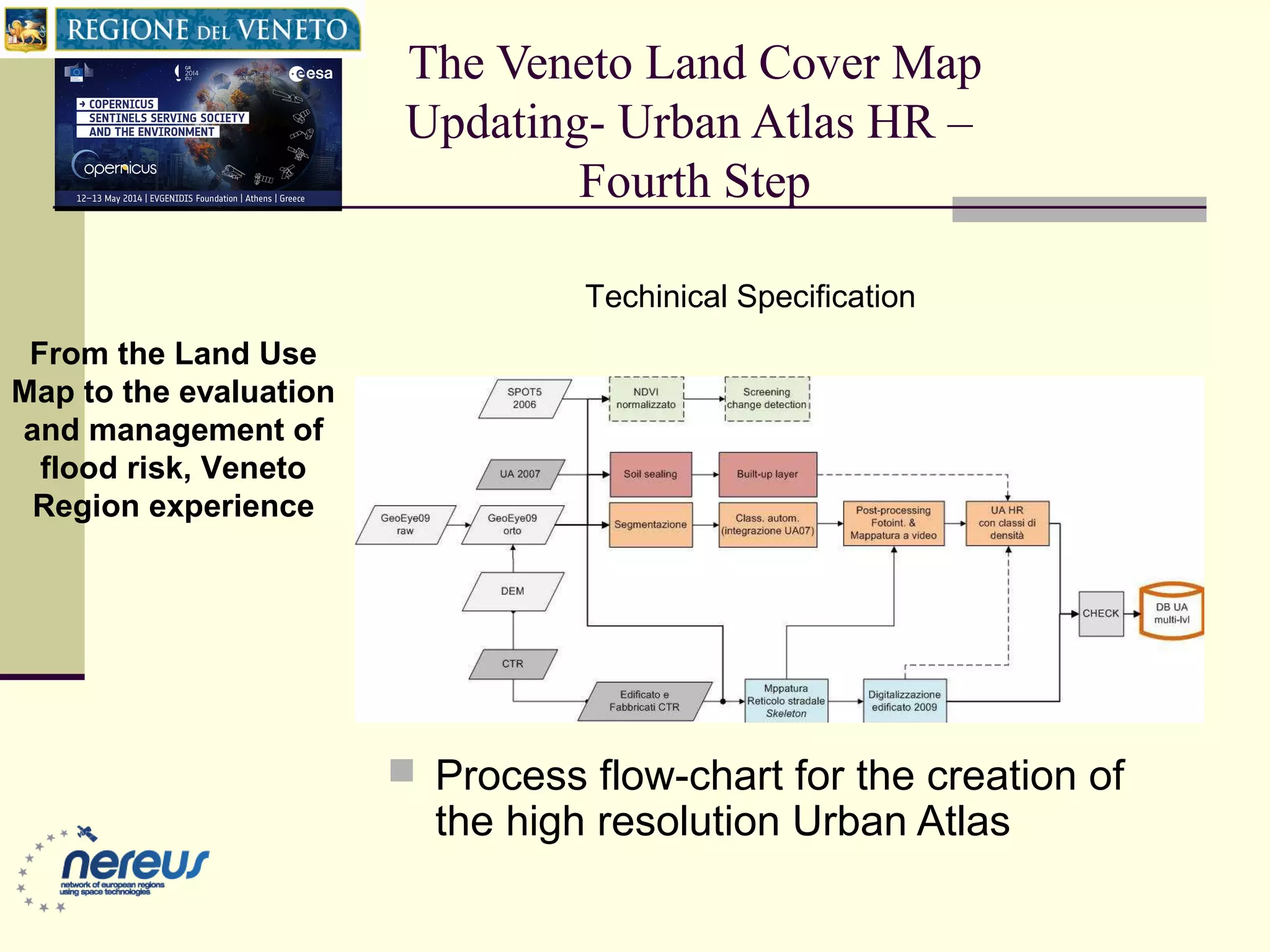
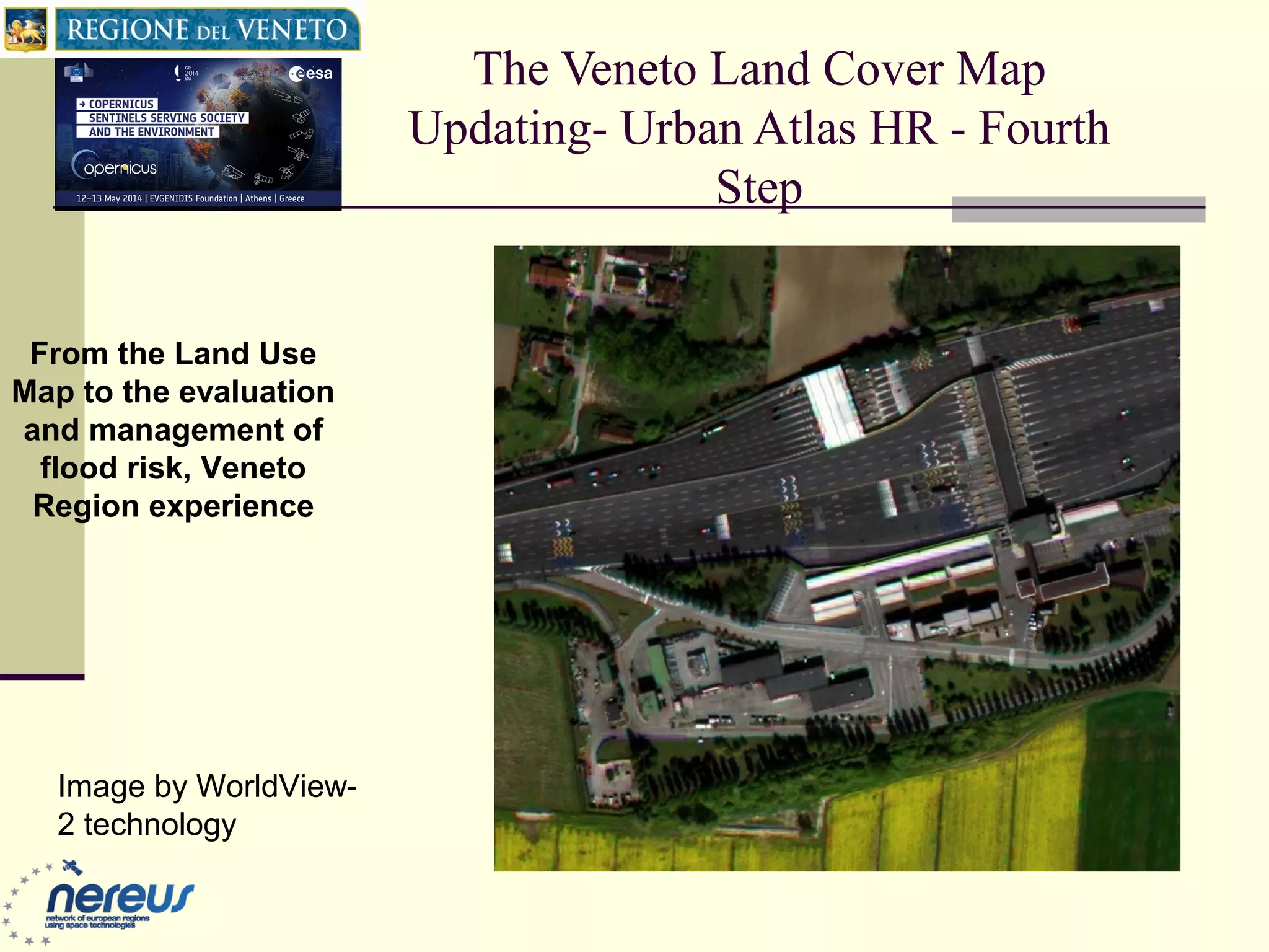
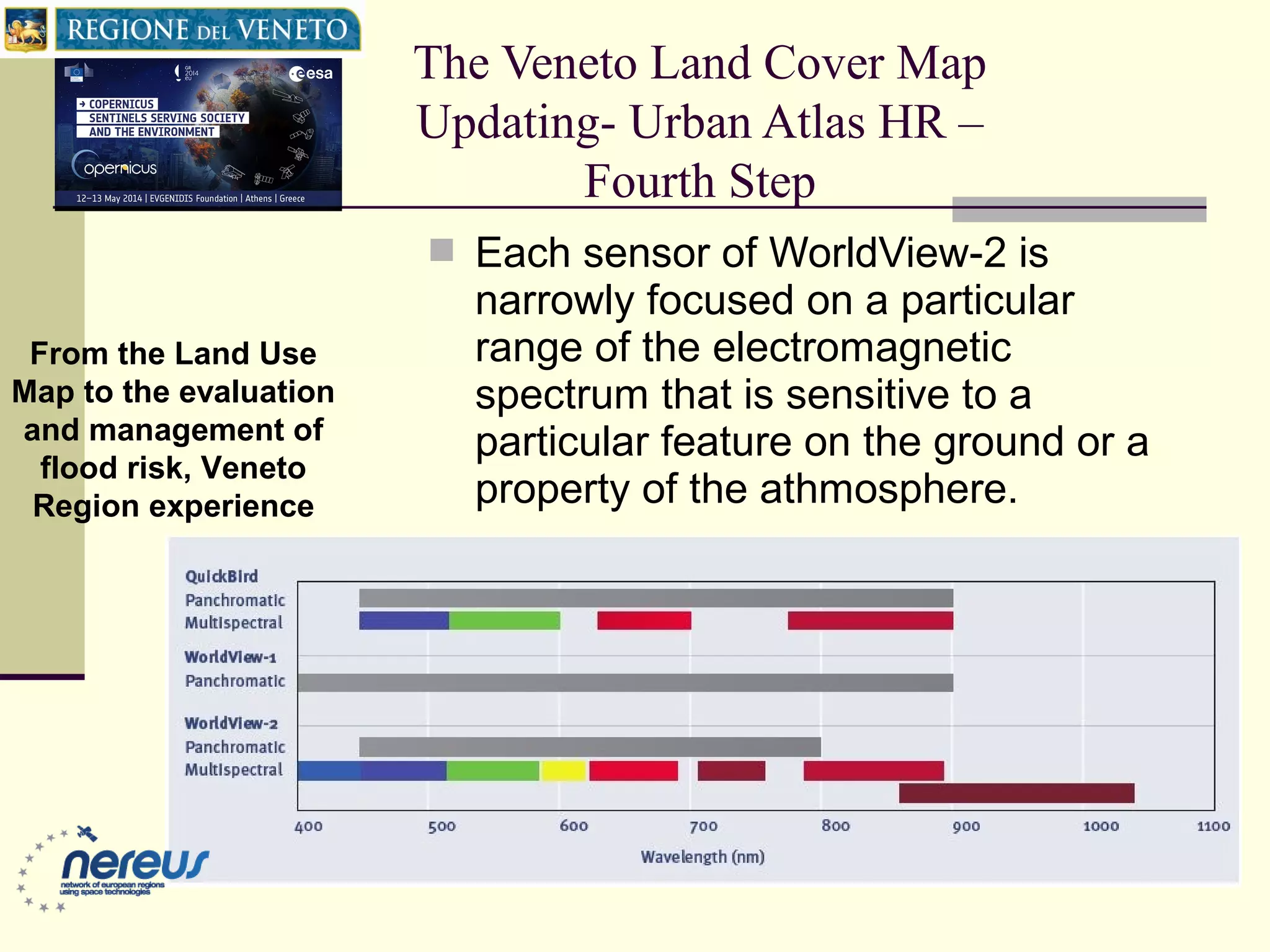

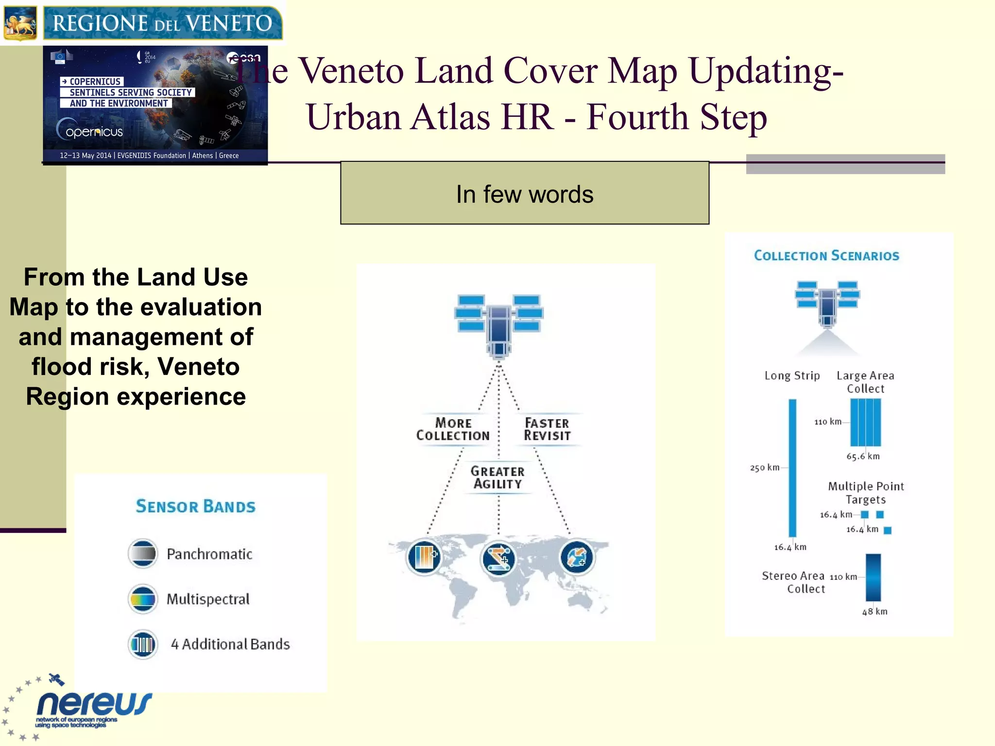
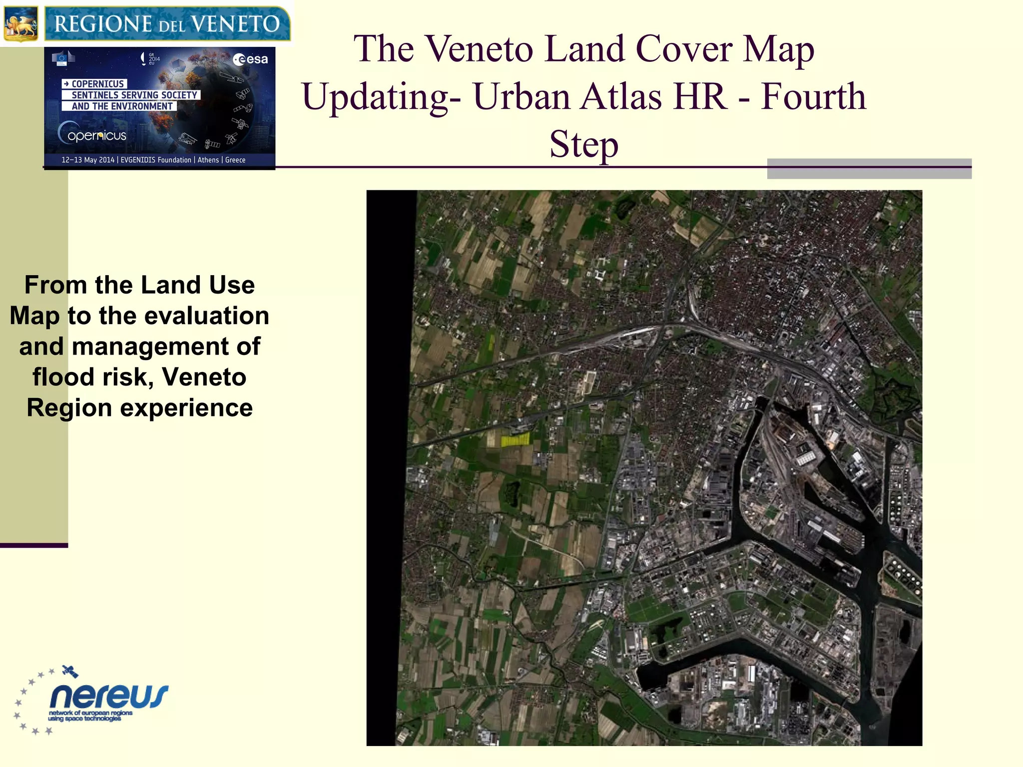
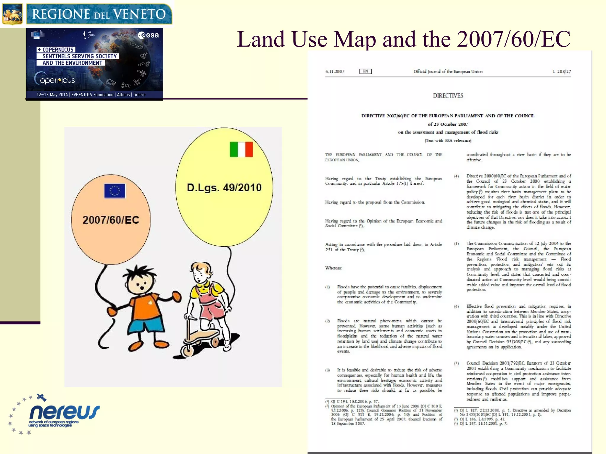
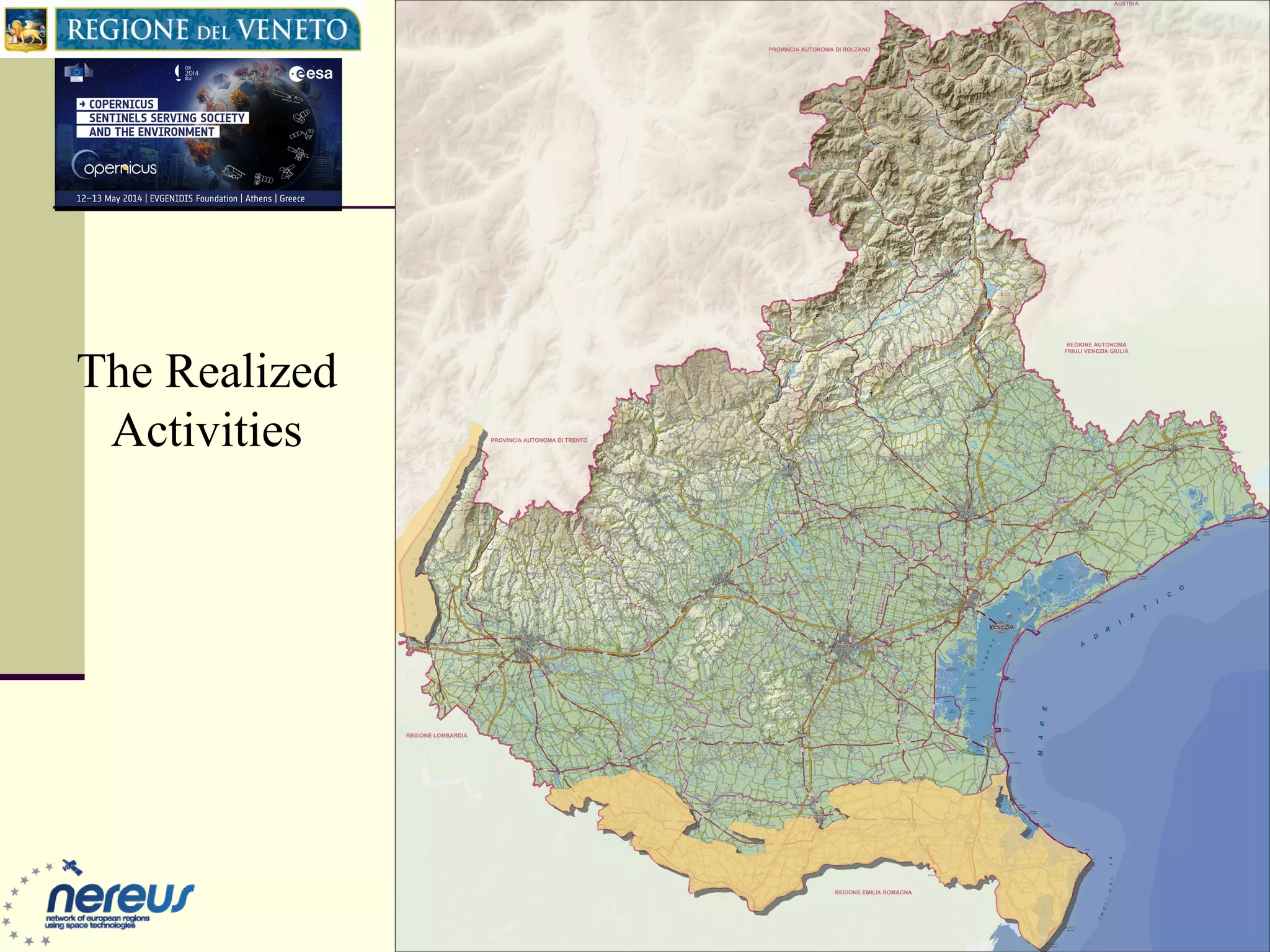
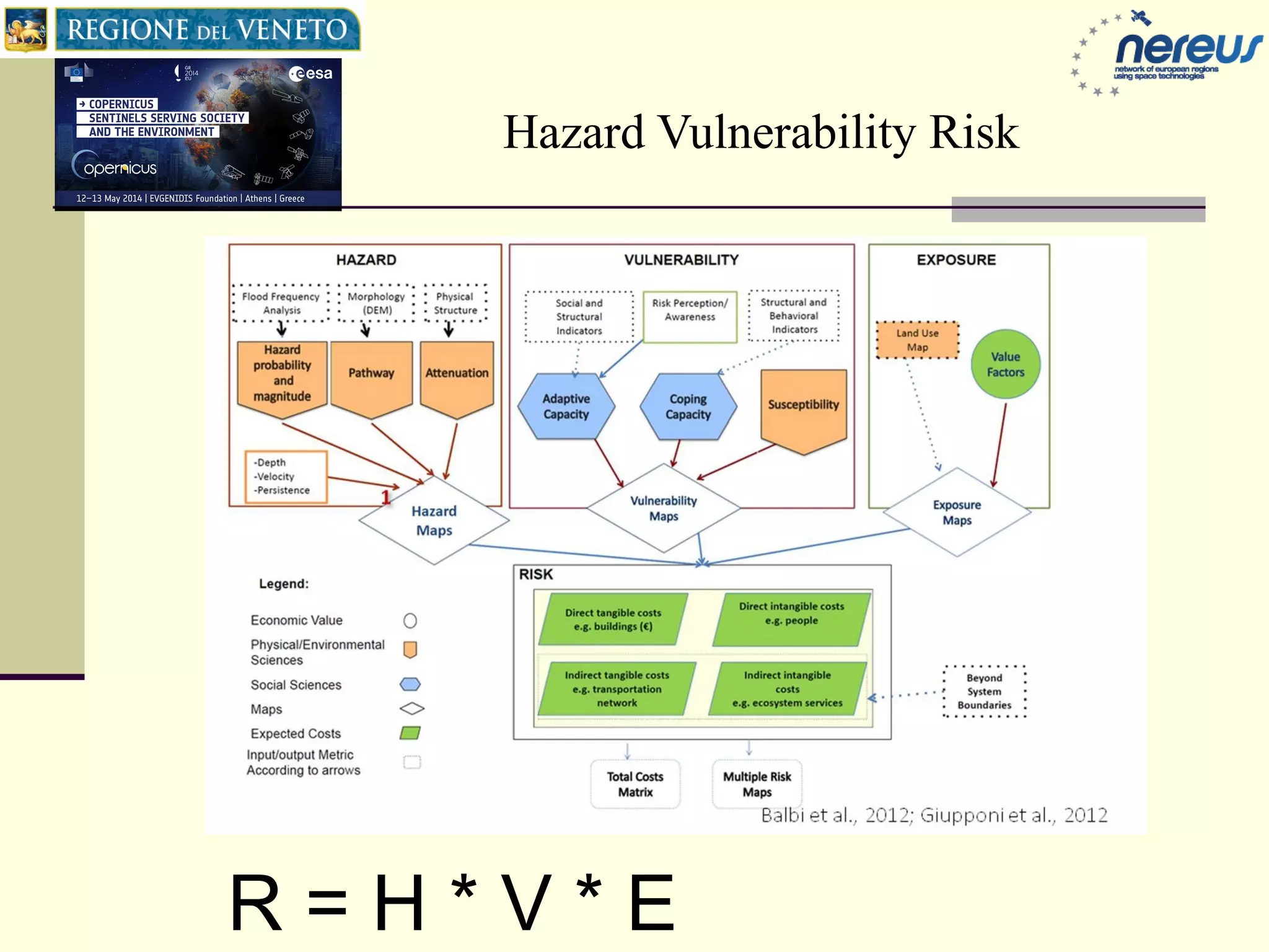
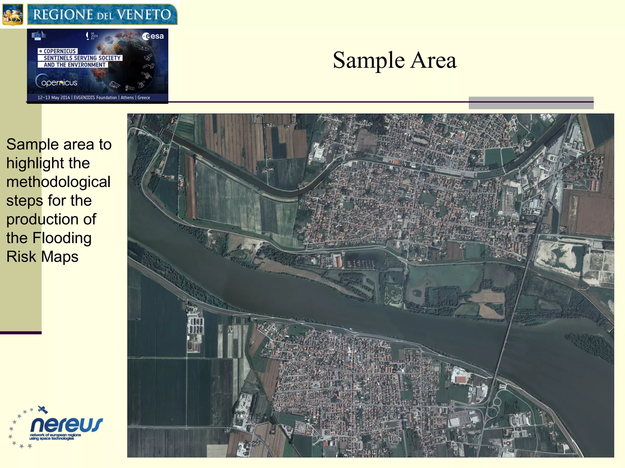
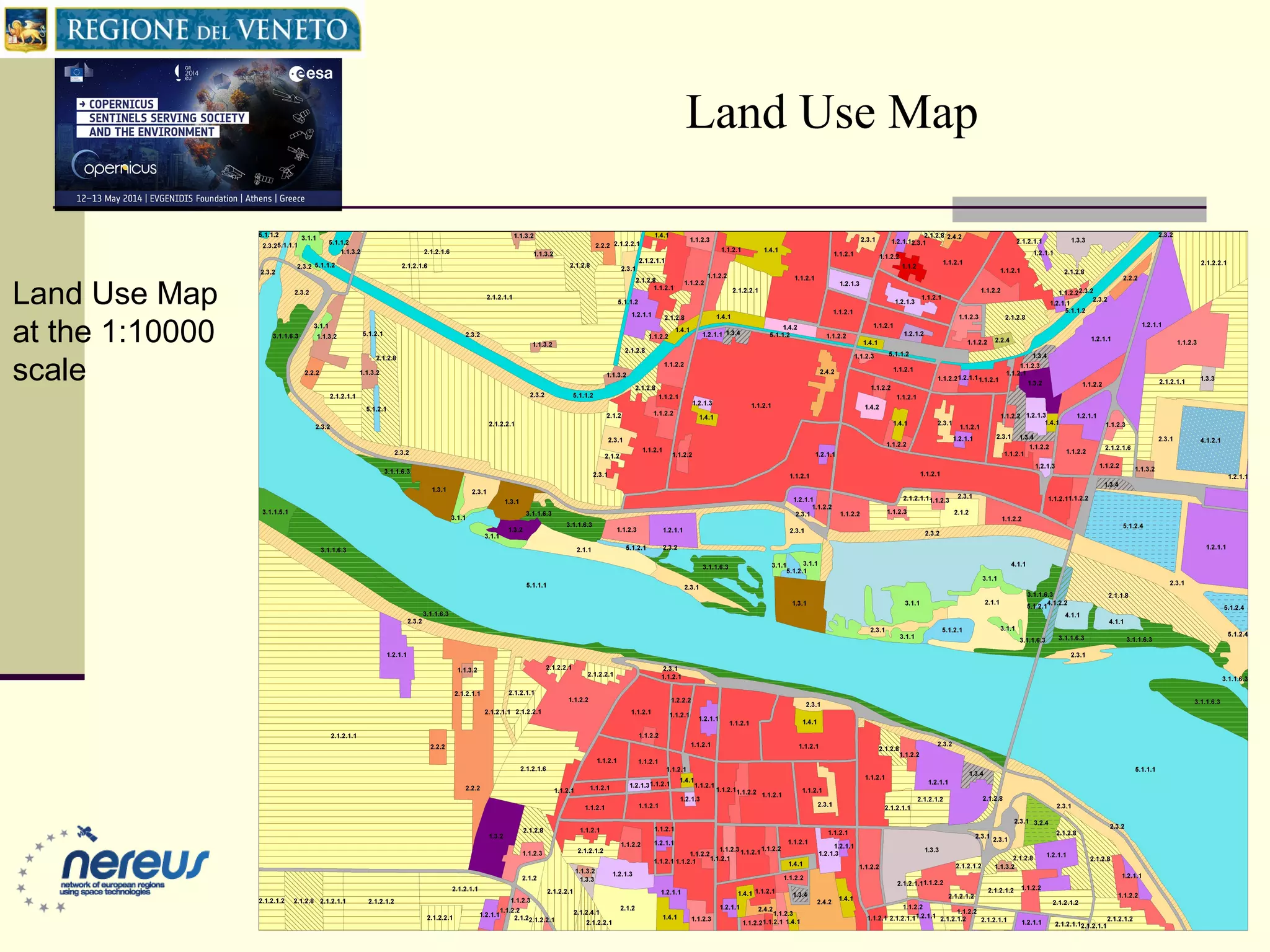
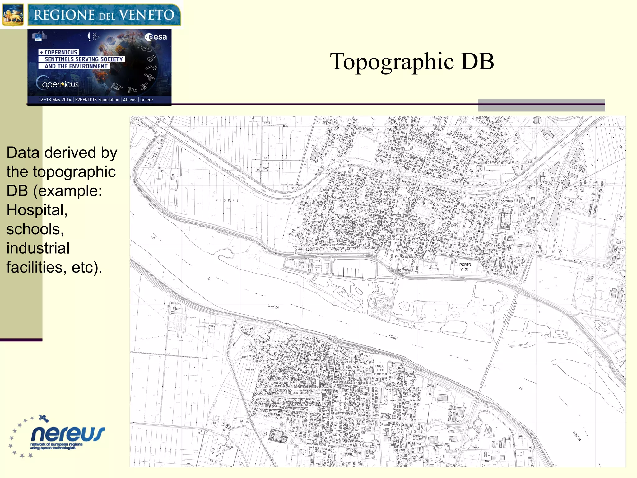
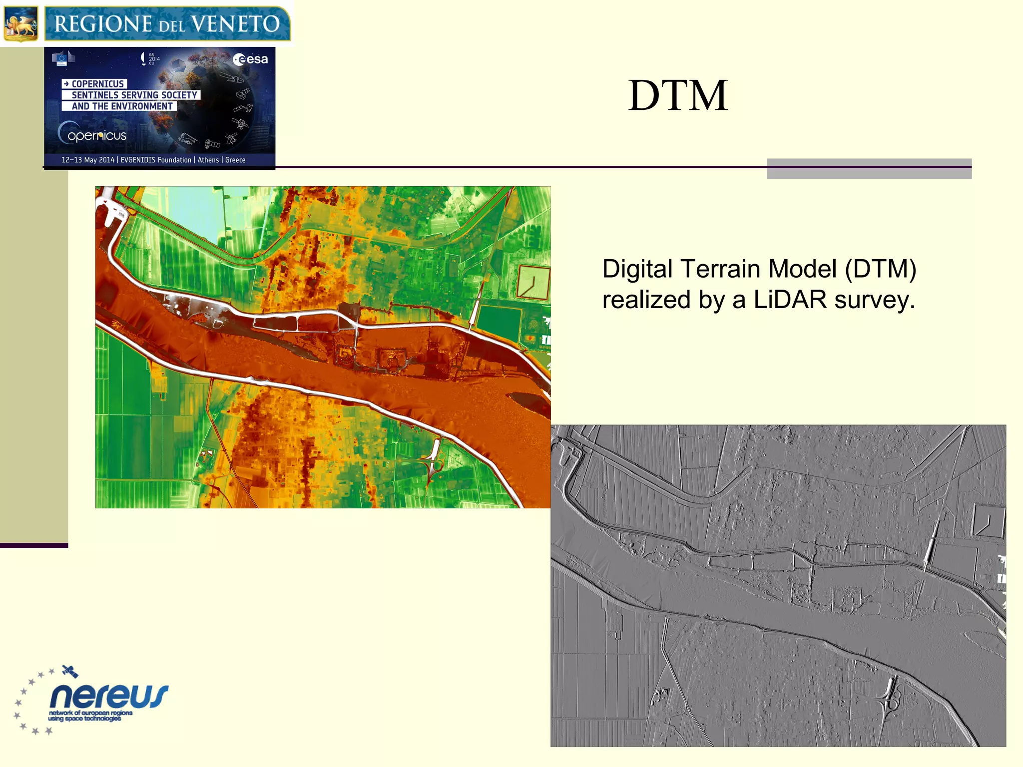
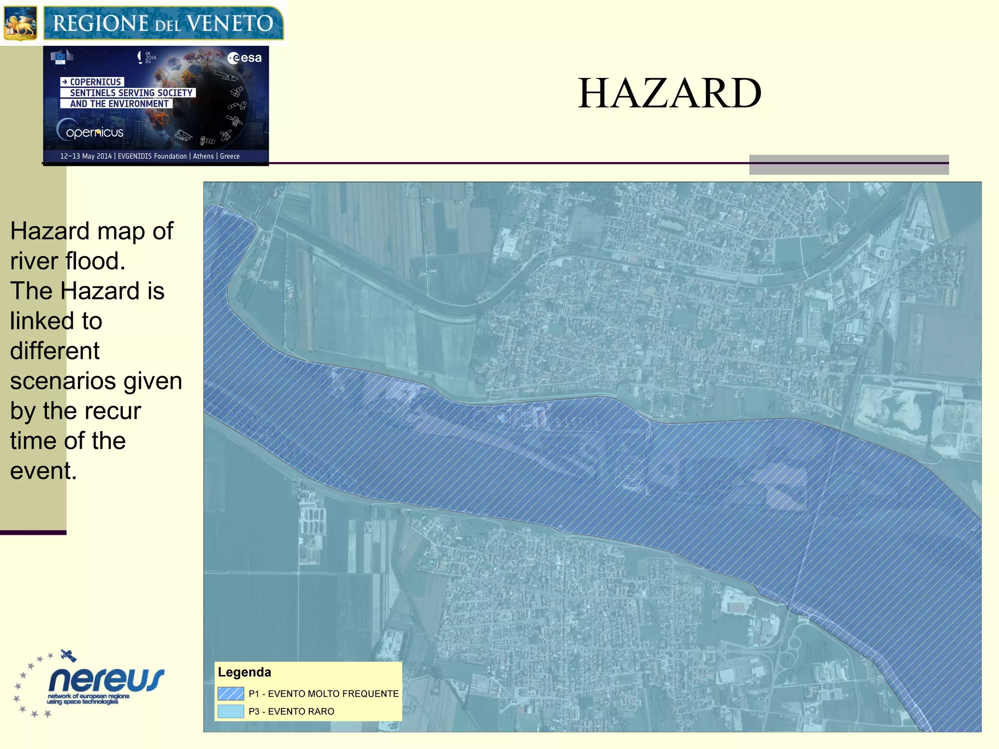
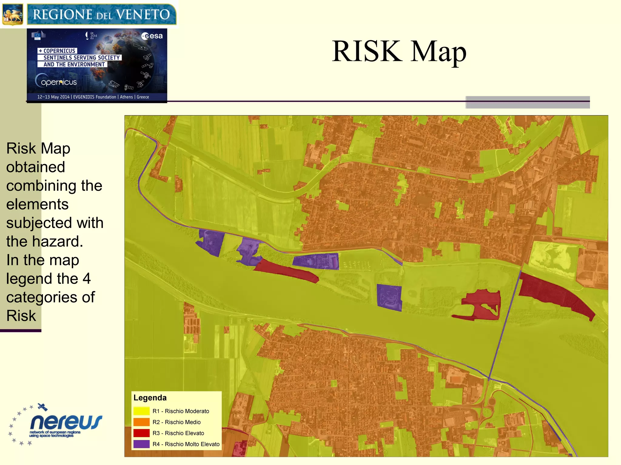
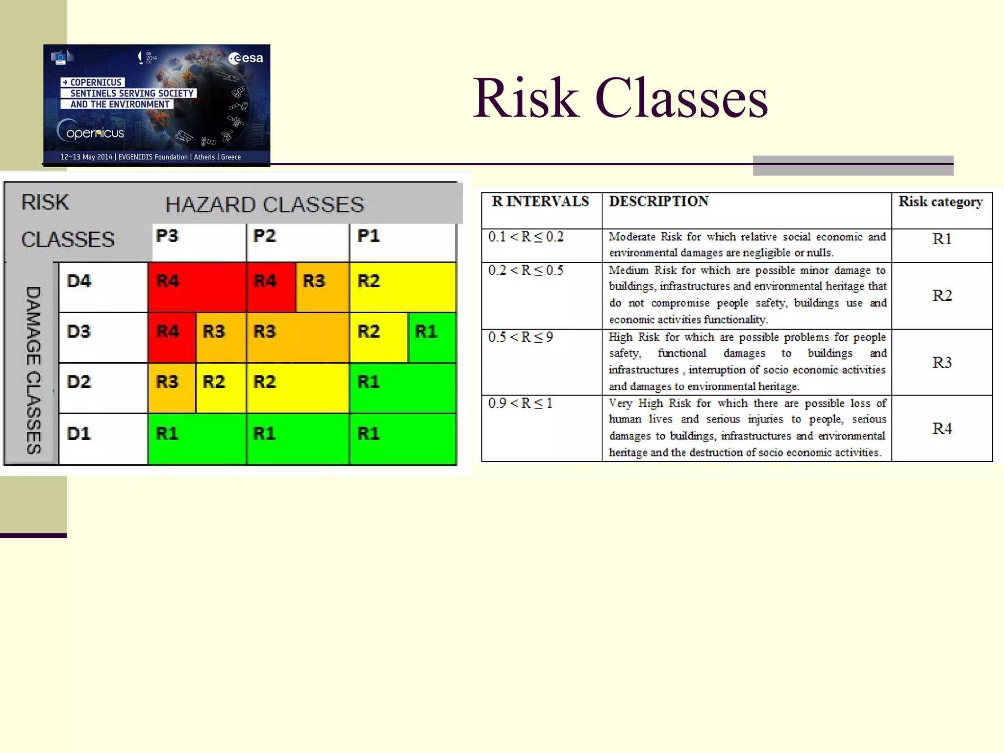
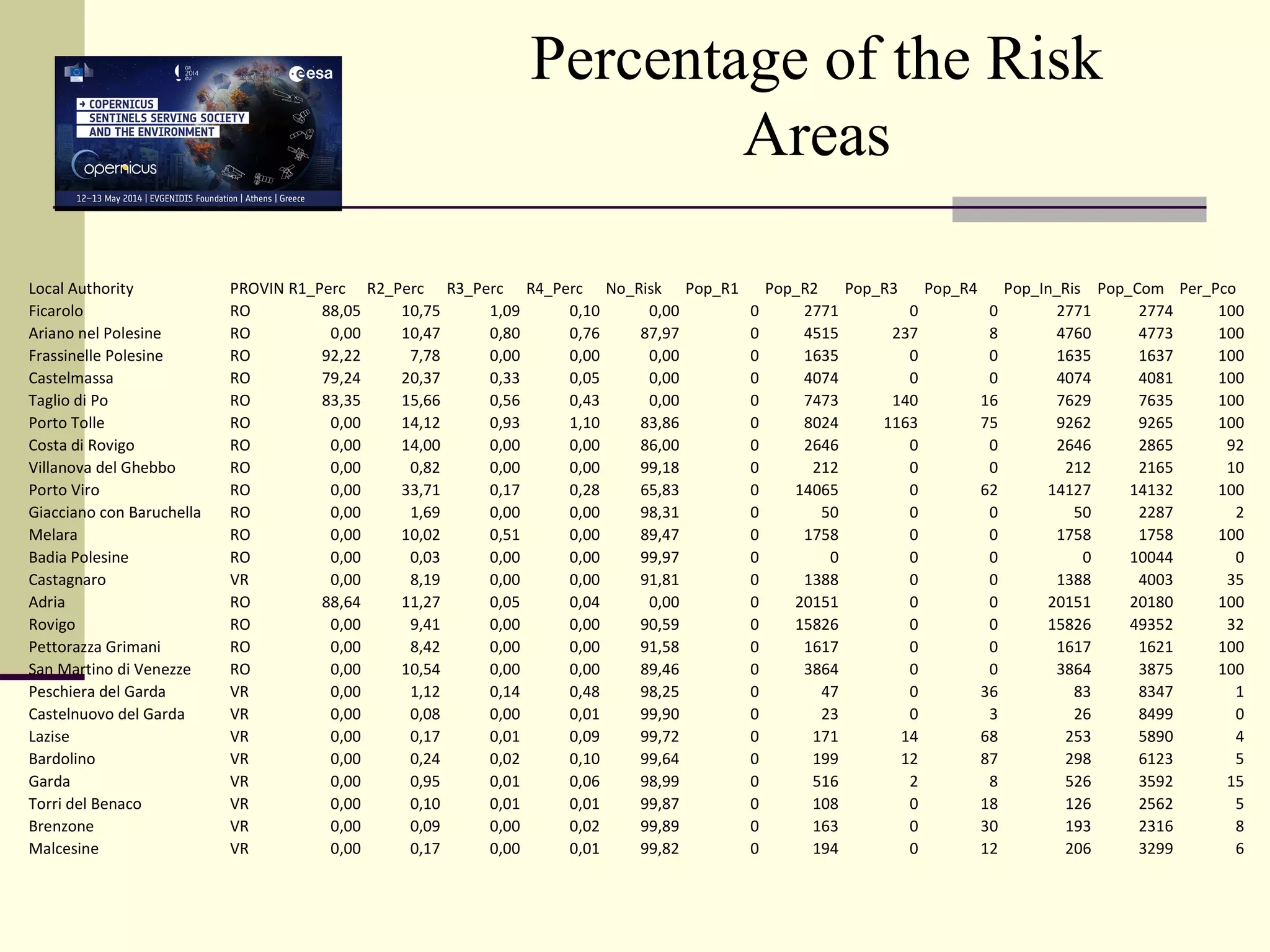
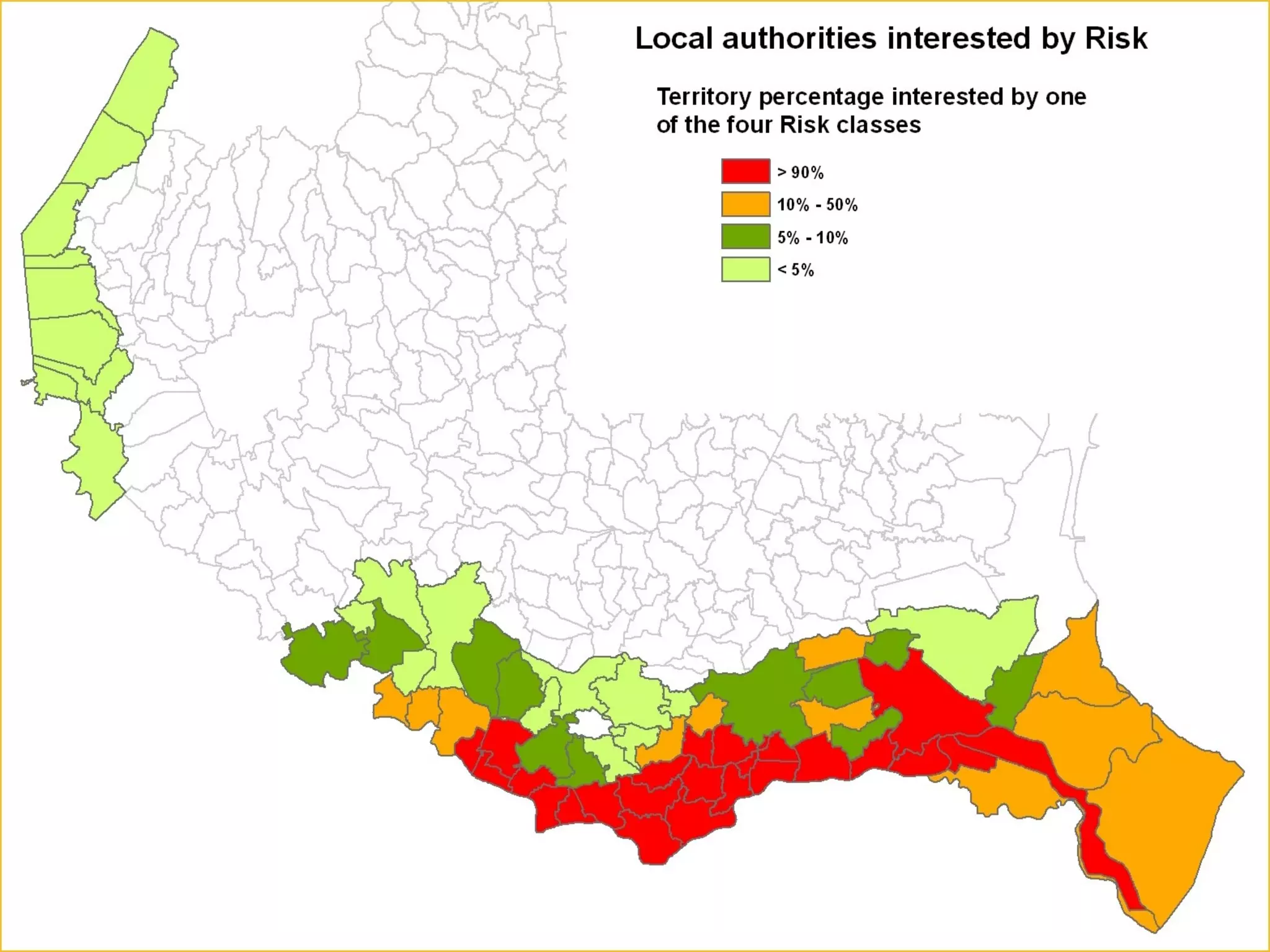
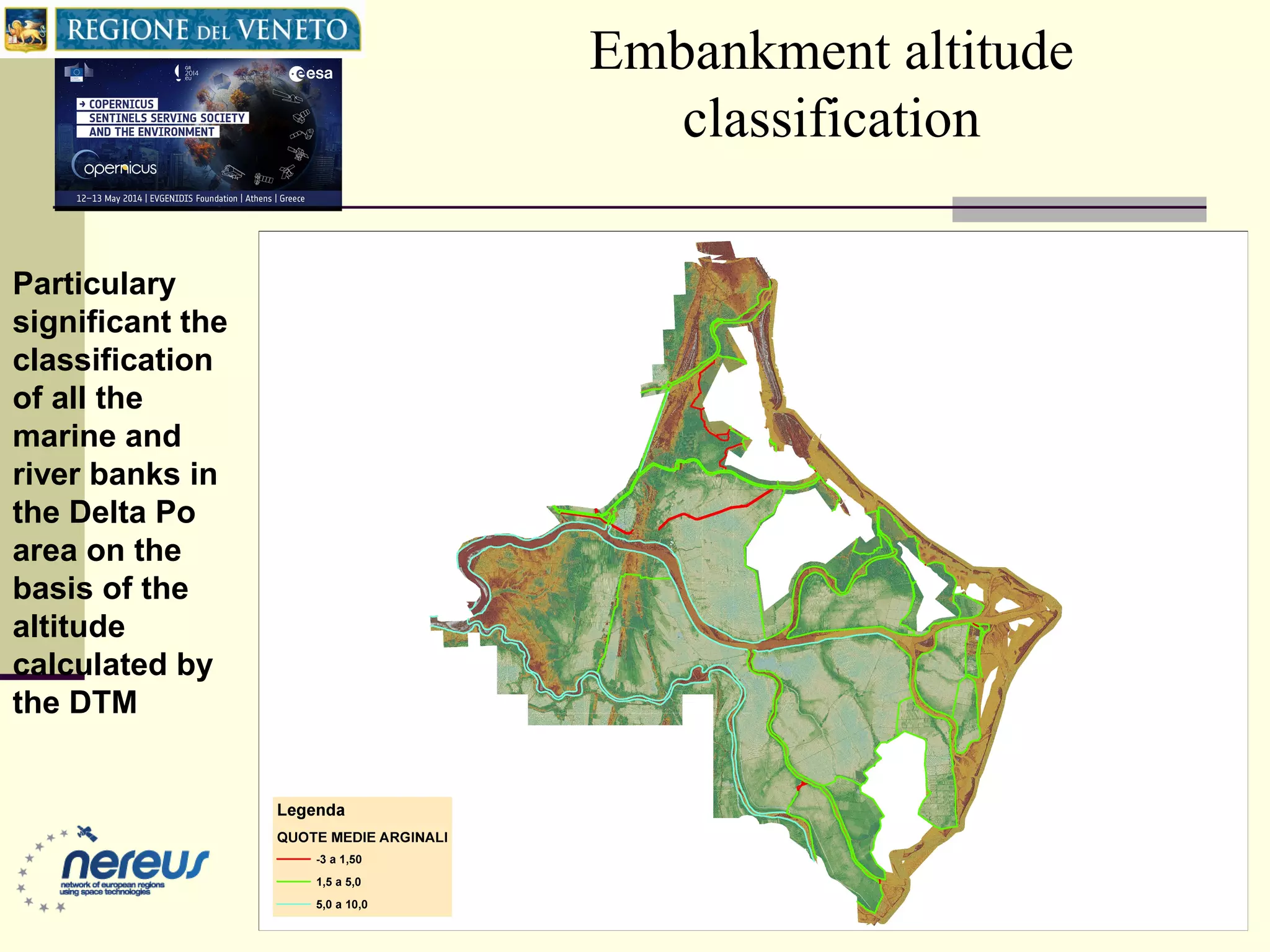


The document discusses the Veneto Region's Land Use Map project which involves creating and updating cartographic tools to support territorial planning by local authorities. It describes a 4-step process: 1) Producing a database of land coverage for urbanized areas using satellite imagery and ancillary data; 2) Implementing the database for non-urban areas with detailed classifications; 3) Producing historical land use maps; and 4) Updating the Veneto Land Cover Map using high resolution imagery. The land use map is then used to evaluate and manage flood risk in accordance with EU directives by analyzing hazard, vulnerability, and risk. Maps are produced for specific areas and statistics are compiled for local authorities.


