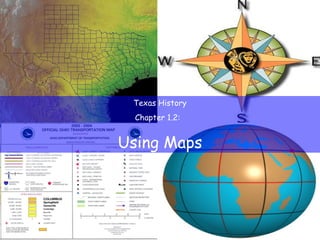
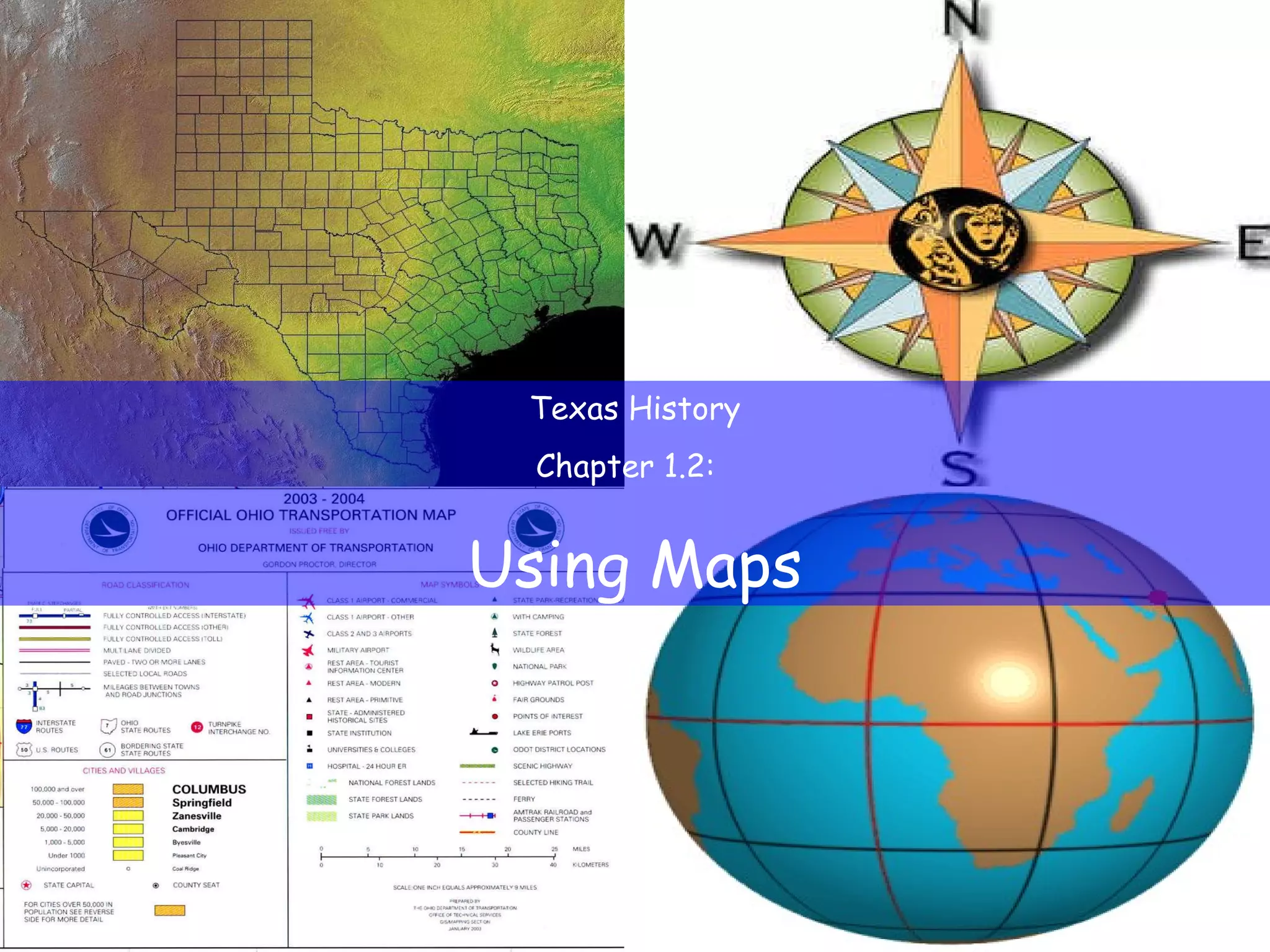
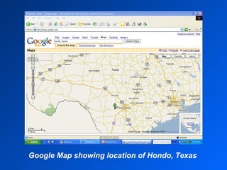
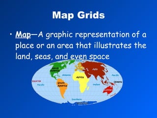
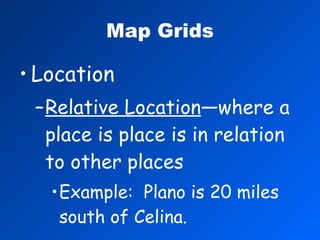
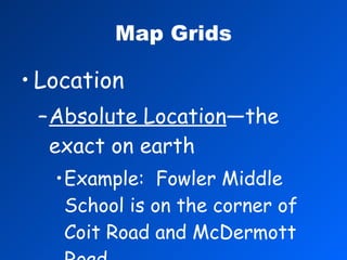
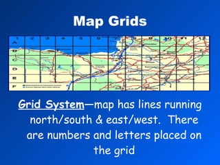
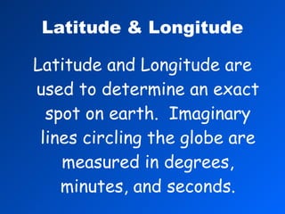
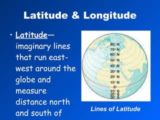
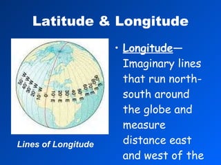
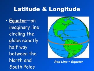
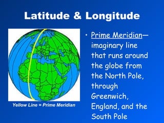
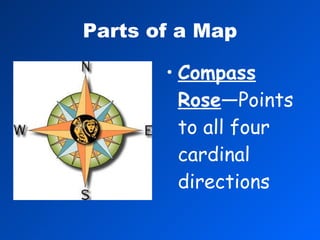
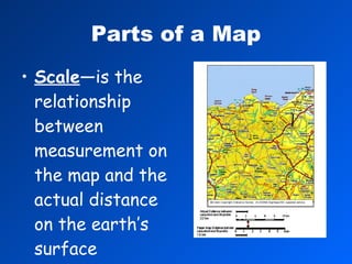
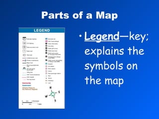
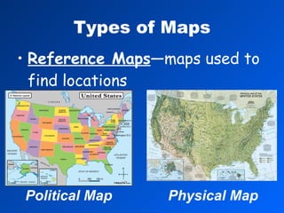
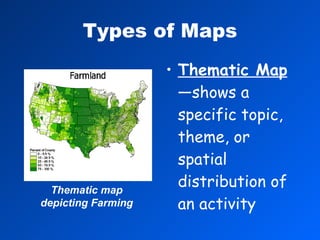
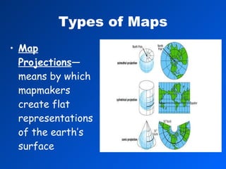
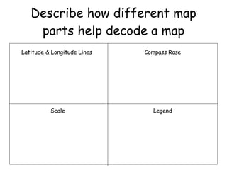
Texas History Chapter 1.2:  Using Maps
The Liberty Redhawks have made the playoffs and are playing the Hondo Owls.  The game will be played in Hondo, Texas.  How will you make and plan your travel  to Hondo?
Google Map showing location of Hondo, Texas
Why are we studying this? Maps are essential tools for geographers and many other professionals.
Map Grids Map —A graphic representation of a place or an area that illustrates the land, seas, and even space
Map Grids Location Relative Location —where a place is place is in relation to other places Example:  Plano is 20 miles south of Celina.
Map Grids Location Absolute Location —the exact on earth Example:  Fowler Middle School is on the corner of Coit Road and McDermott Road.
Map Grids Grid System —map has lines running north/south & east/west.  There are numbers and letters placed on the grid
Latitude & Longitude Latitude and Longitude are used to determine an exact spot on earth.  Imaginary lines circling the globe are measured in degrees, minutes, and seconds.
Latitude & Longitude Latitude —imaginary lines that run east-west around the globe and measure distance north and south of the equator Lines of Latitude
Latitude & Longitude Longitude —Imaginary lines that run north-south around the globe and measure distance east and west of the prime meridian Lines of Longitude
Latitude & Longitude Latitude & longitude are used to determine  absolute location.
Latitude & Longitude Equator —an imaginary line circling the globe exactly half way between the North and South Poles Red Line = Equator
Latitude & Longitude Prime Meridian —imaginary line that runs around the globe from the North Pole, through Greenwich, England, and the South Pole Yellow Line = Prime Meridian
Parts of a Map Compass Rose —Points to all four cardinal directions
Parts of a Map Scale —is the relationship between measurement on the map and the actual distance on the earth’s surface
Parts of a Map Legend —key; explains the symbols on the map
Types of Maps Reference Maps —maps used to find locations Political Map Physical Map
Types of Maps Thematic Map —shows a specific topic, theme, or spatial distribution of an activity Thematic map depicting Farming
Types of Maps Map Projections —means by which mapmakers create flat representations of the earth’s surface
Describe how different map parts help decode a map Latitude & Longitude Lines Compass Rose Scale Legend

Tx history-ch-1.2

  • 1.
    Texas History Chapter1.2: Using Maps
  • 2.
    The Liberty Redhawkshave made the playoffs and are playing the Hondo Owls. The game will be played in Hondo, Texas. How will you make and plan your travel to Hondo?
  • 3.
    Google Map showinglocation of Hondo, Texas
  • 4.
    Why are westudying this? Maps are essential tools for geographers and many other professionals.
  • 5.
    Map Grids Map—A graphic representation of a place or an area that illustrates the land, seas, and even space
  • 6.
    Map Grids LocationRelative Location —where a place is place is in relation to other places Example: Plano is 20 miles south of Celina.
  • 7.
    Map Grids LocationAbsolute Location —the exact on earth Example: Fowler Middle School is on the corner of Coit Road and McDermott Road.
  • 8.
    Map Grids GridSystem —map has lines running north/south & east/west. There are numbers and letters placed on the grid
  • 9.
    Latitude & LongitudeLatitude and Longitude are used to determine an exact spot on earth. Imaginary lines circling the globe are measured in degrees, minutes, and seconds.
  • 10.
    Latitude & LongitudeLatitude —imaginary lines that run east-west around the globe and measure distance north and south of the equator Lines of Latitude
  • 11.
    Latitude & LongitudeLongitude —Imaginary lines that run north-south around the globe and measure distance east and west of the prime meridian Lines of Longitude
  • 12.
    Latitude & LongitudeLatitude & longitude are used to determine absolute location.
  • 13.
    Latitude & LongitudeEquator —an imaginary line circling the globe exactly half way between the North and South Poles Red Line = Equator
  • 14.
    Latitude & LongitudePrime Meridian —imaginary line that runs around the globe from the North Pole, through Greenwich, England, and the South Pole Yellow Line = Prime Meridian
  • 15.
    Parts of aMap Compass Rose —Points to all four cardinal directions
  • 16.
    Parts of aMap Scale —is the relationship between measurement on the map and the actual distance on the earth’s surface
  • 17.
    Parts of aMap Legend —key; explains the symbols on the map
  • 18.
    Types of MapsReference Maps —maps used to find locations Political Map Physical Map
  • 19.
    Types of MapsThematic Map —shows a specific topic, theme, or spatial distribution of an activity Thematic map depicting Farming
  • 20.
    Types of MapsMap Projections —means by which mapmakers create flat representations of the earth’s surface
  • 21.
    Describe how differentmap parts help decode a map Latitude & Longitude Lines Compass Rose Scale Legend