Downloaded 110 times
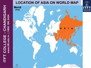
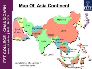
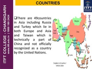

Asia is the largest continent, covering 29.9% of the Earth's land area and home to approximately 4 billion people, representing 60% of the global population. It consists of 49 countries and features diverse geographical regions, climates, and cultures, including significant landscapes like the Himalayas and the Gobi Desert. The continent also hosts major economic activities and a multitude of religions, while facing challenges such as poverty and population density.


