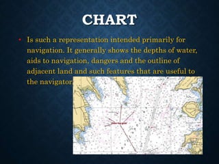
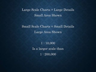
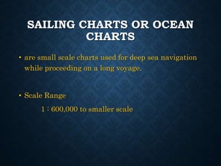
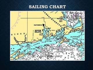
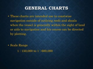
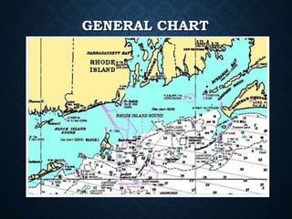
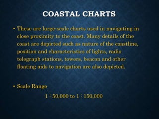
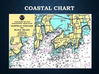
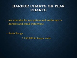
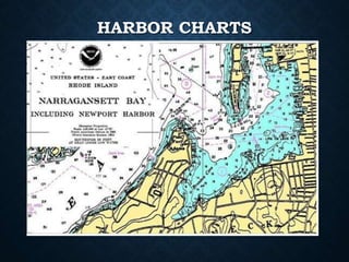
The document categorizes various types of navigation charts based on their scale and intended use, explaining that large scale charts provide detailed information for small areas, while small scale charts are used for larger areas and deep sea navigation. Coastal charts are used when navigating near the coast, depicting details like lights and beacons, while harbor charts are specifically for navigation within ports and small waterways. The scales for these charts range from 1:50,000 up to 1:600,000, depending on the chart type.