Download as PDF, PPTX
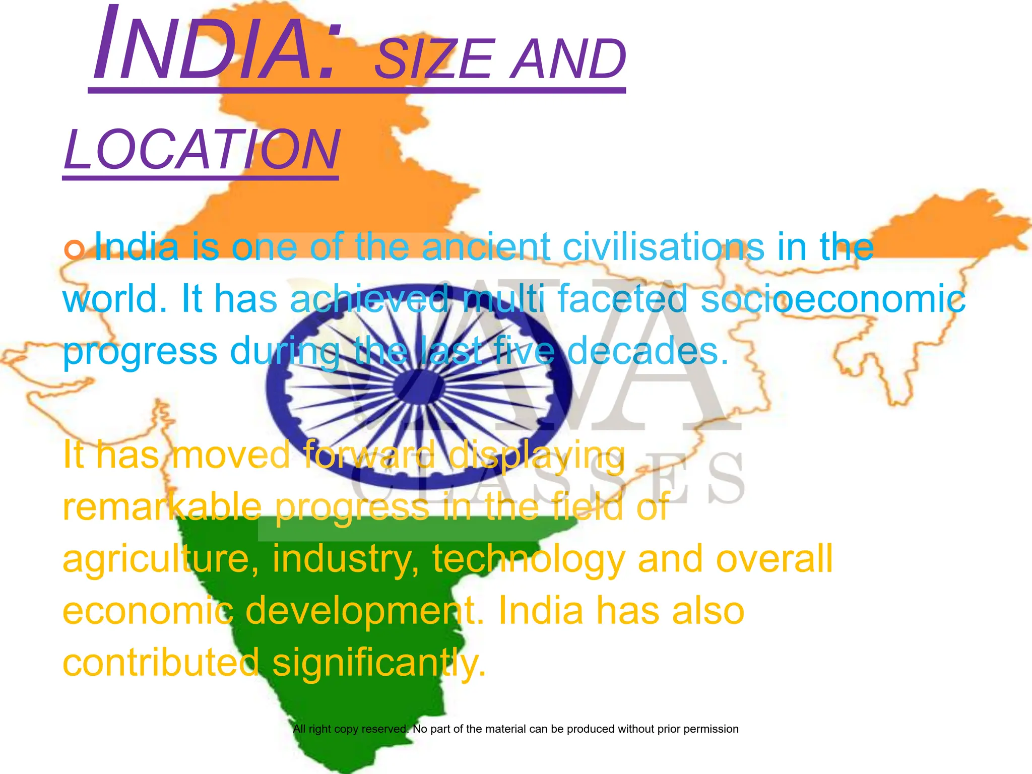
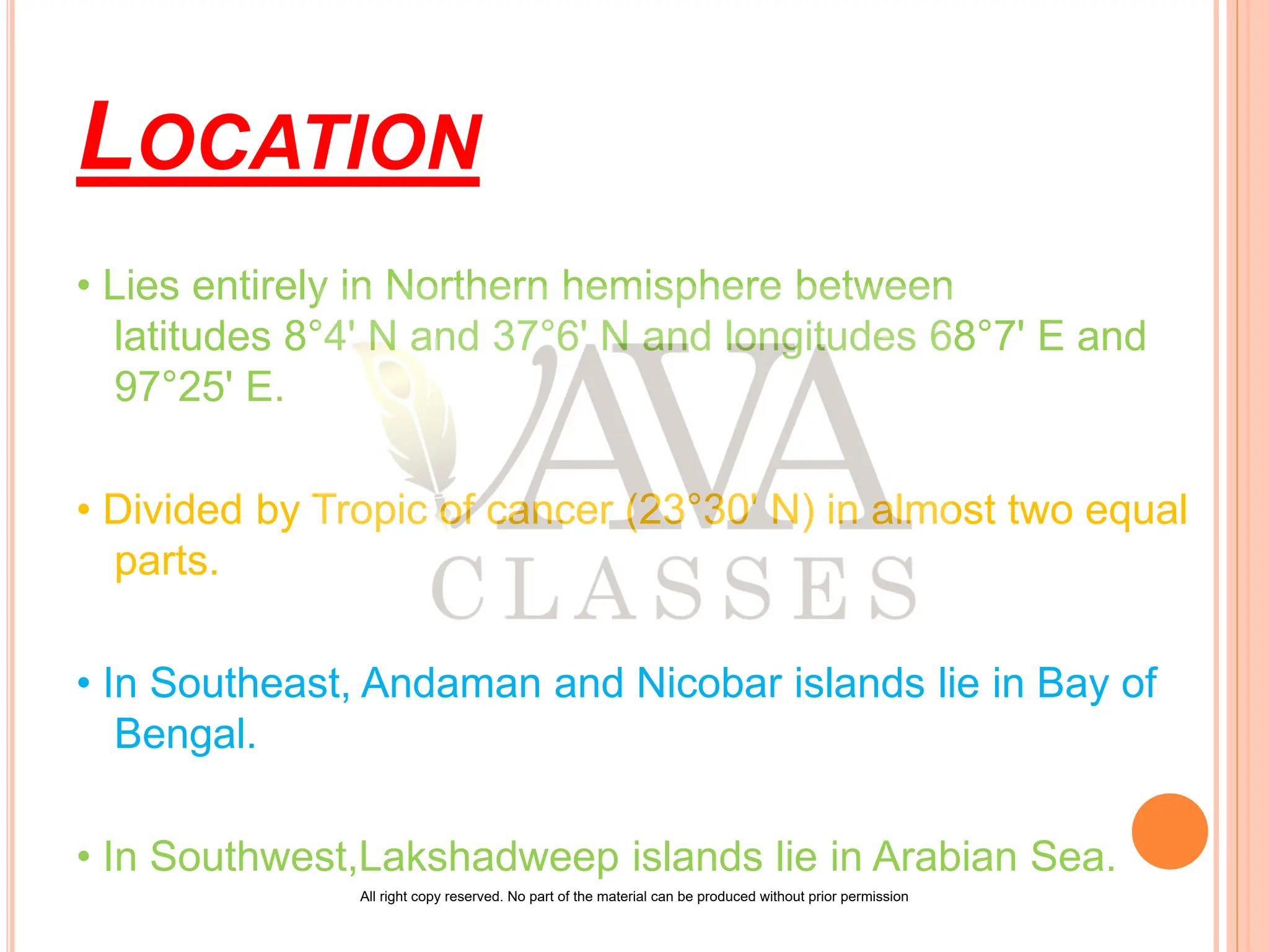
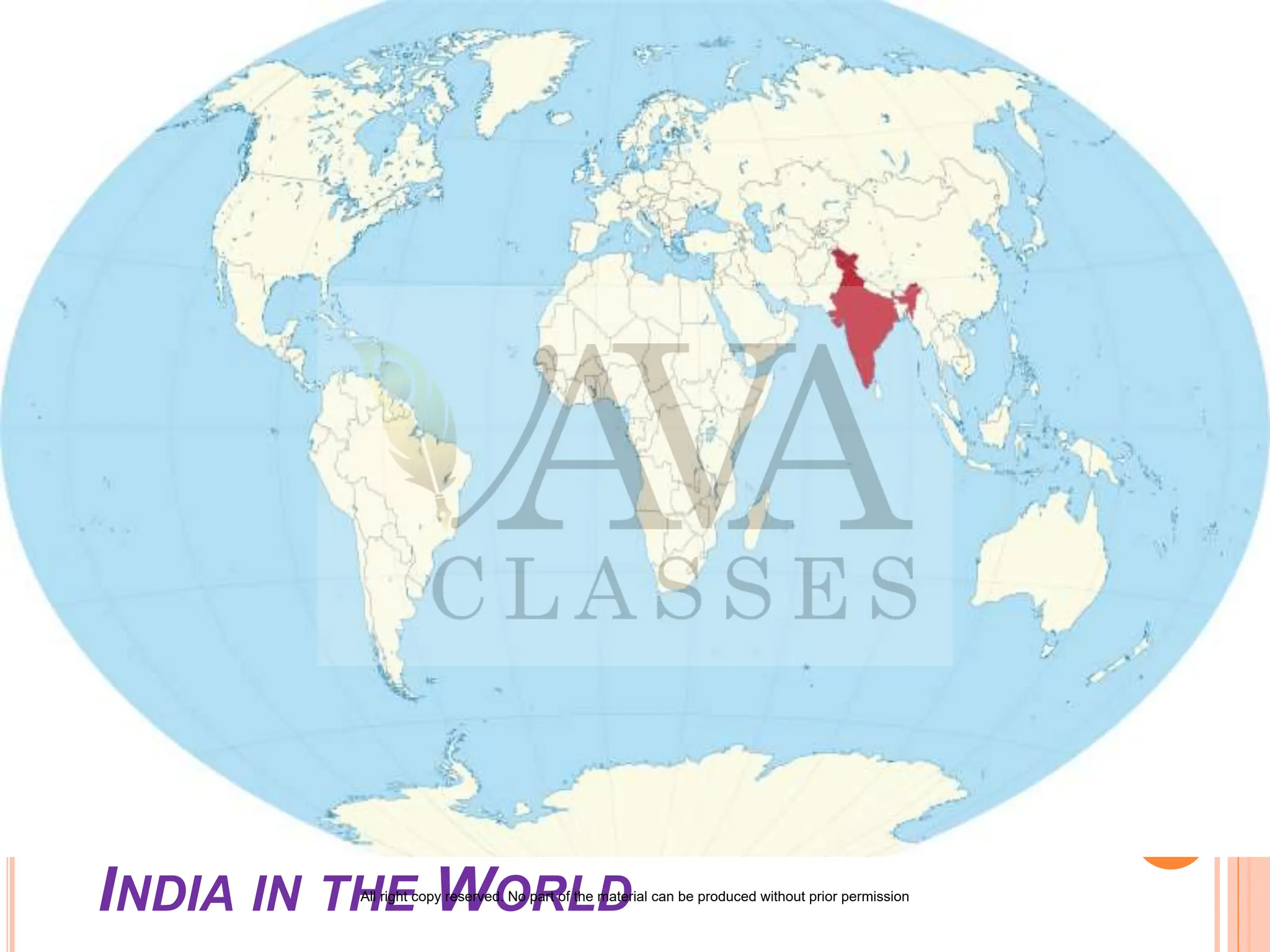
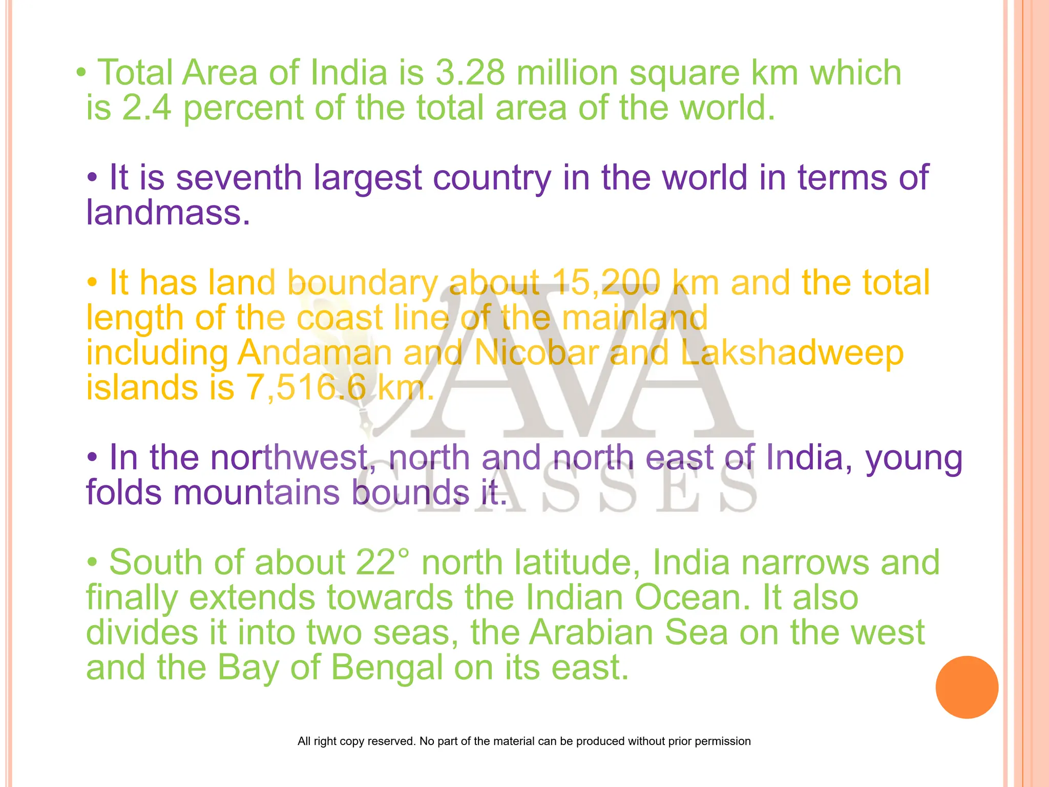
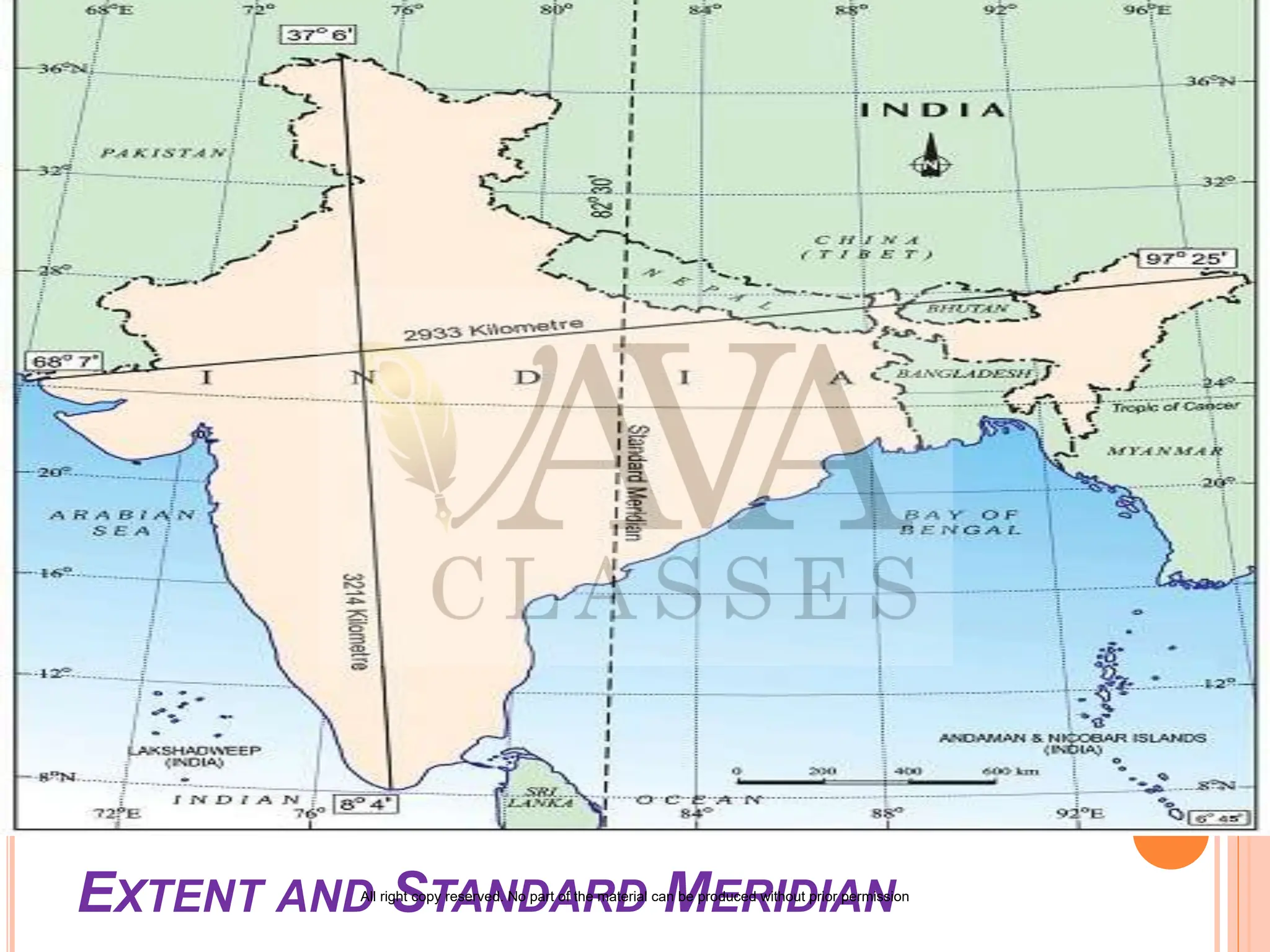
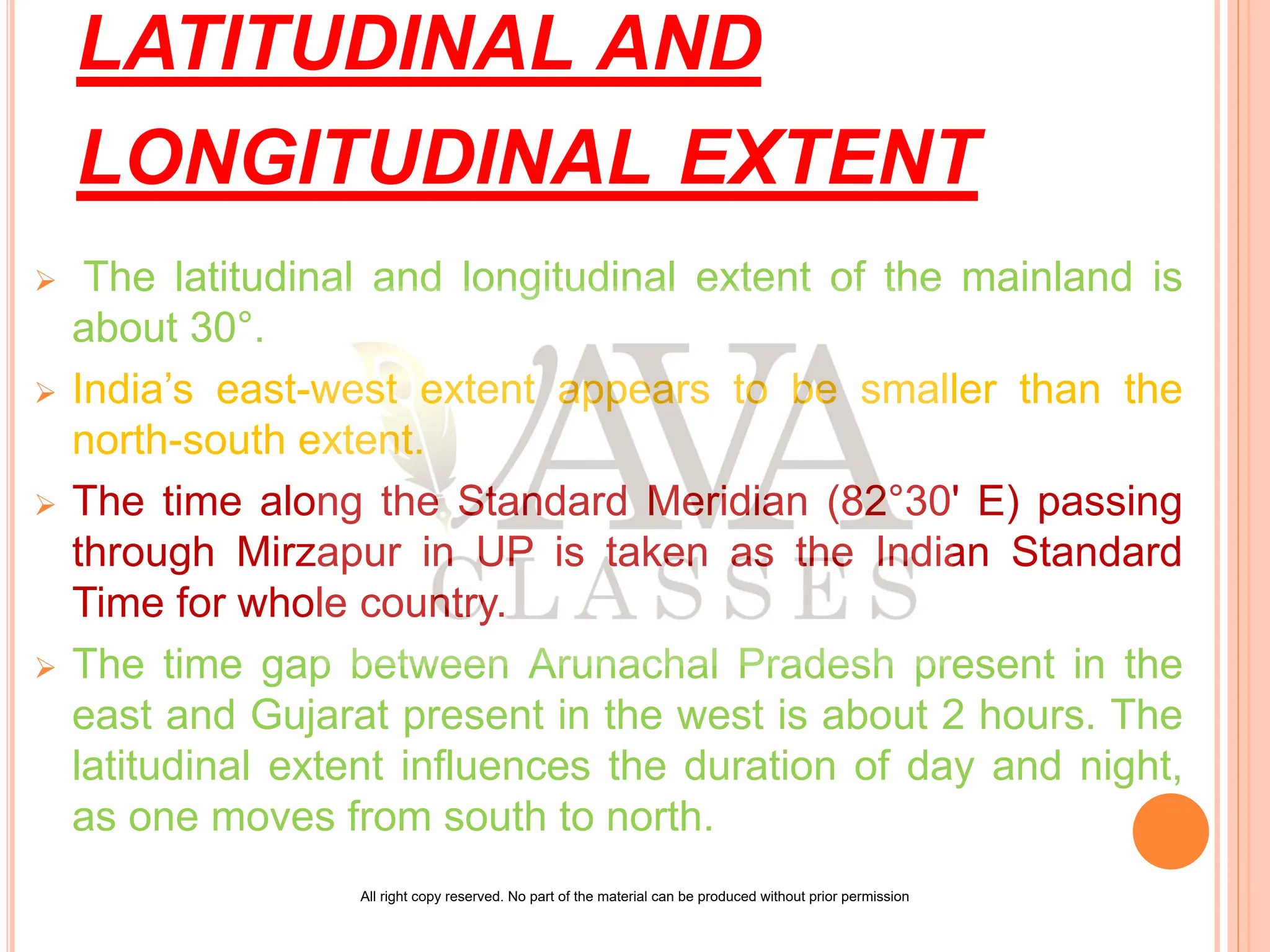
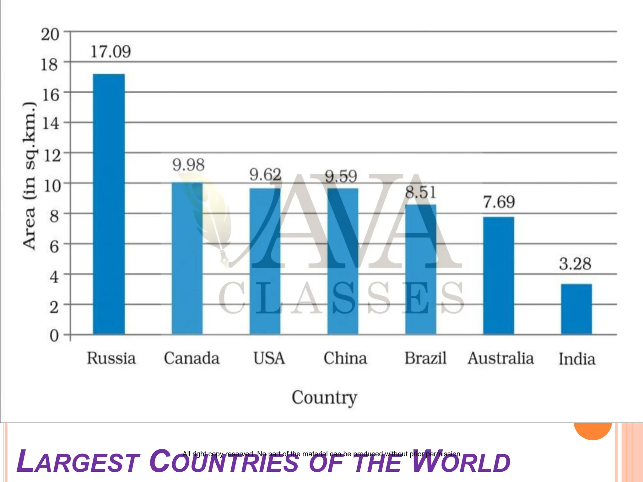
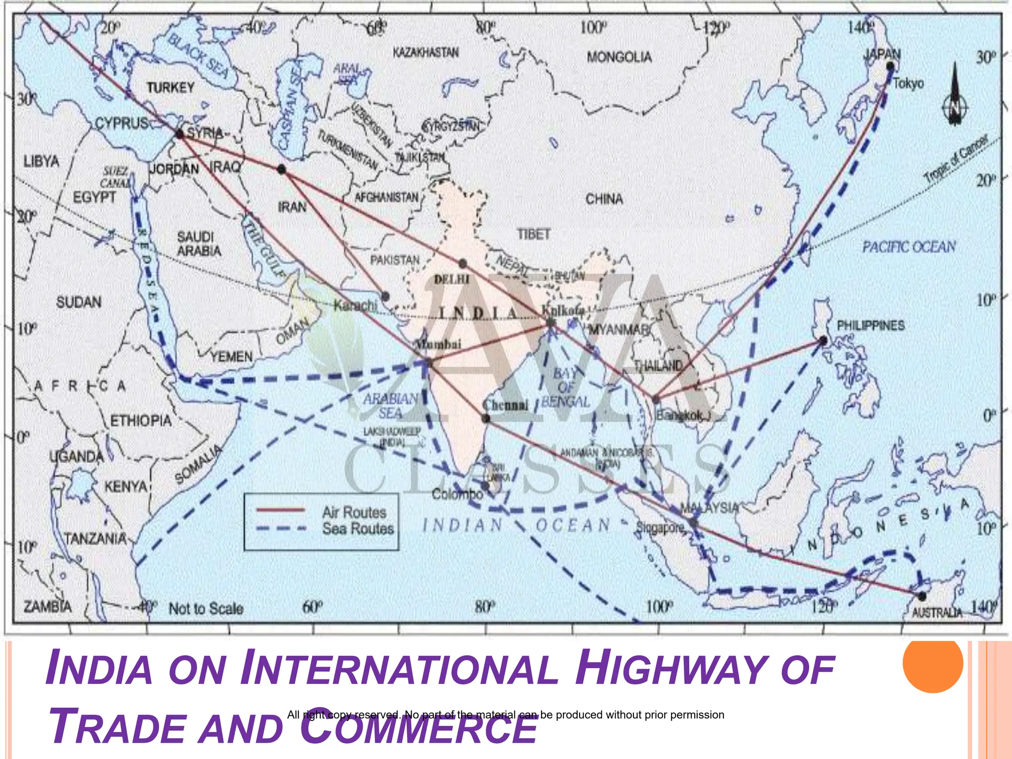


India is one of the world's oldest civilizations, exhibiting significant progress in agriculture, industry, and economic development. It covers an area of 3.28 million square kilometers, making it the seventh largest country globally, with a diverse geographical landscape that includes mountains, seas, and islands. India is strategically located between major continents, and its unique position provides vital trade routes and cultural exchange opportunities with neighboring countries.