Download to read offline


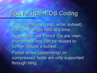

The document provides an overview of HDF-EOS, an extension of HDF designed for Earth science data management, including features like geolocation and data subsetting. It details the programming interfaces and data structures for grid and point data sets, outlines supported projections, and offers tips for implementation and coding. Additionally, it highlights the platforms for HDF-EOS version 2.3 and discusses compression methods for both grid and point data.