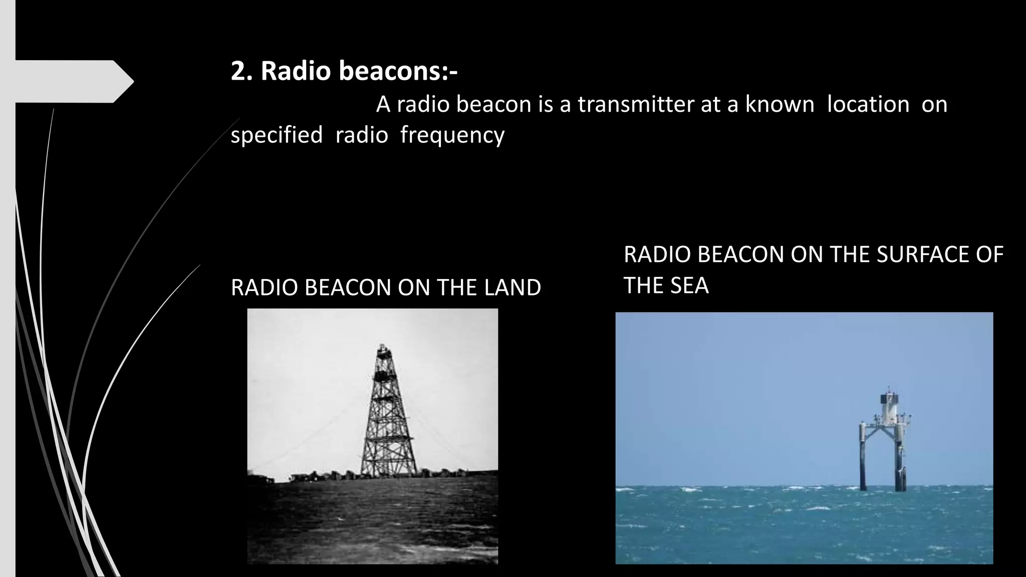
1) Navigational aids assist sailors in determining their position and safely navigating hazards. There are fixed structures like lighthouses, beacons, and navigational lights on piers as well as floating aids like lightships and buoys.
2) Lighthouses are tall towers with powerful lights that can be seen from far away. They are often located on shorelines or islands and have lanterns, service rooms, and living quarters. Common components include a lantern room, service room, and lightning protection.
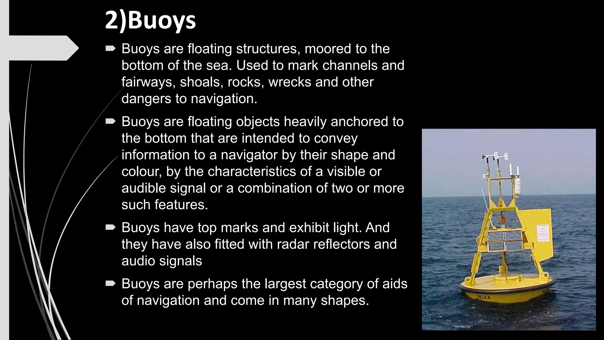
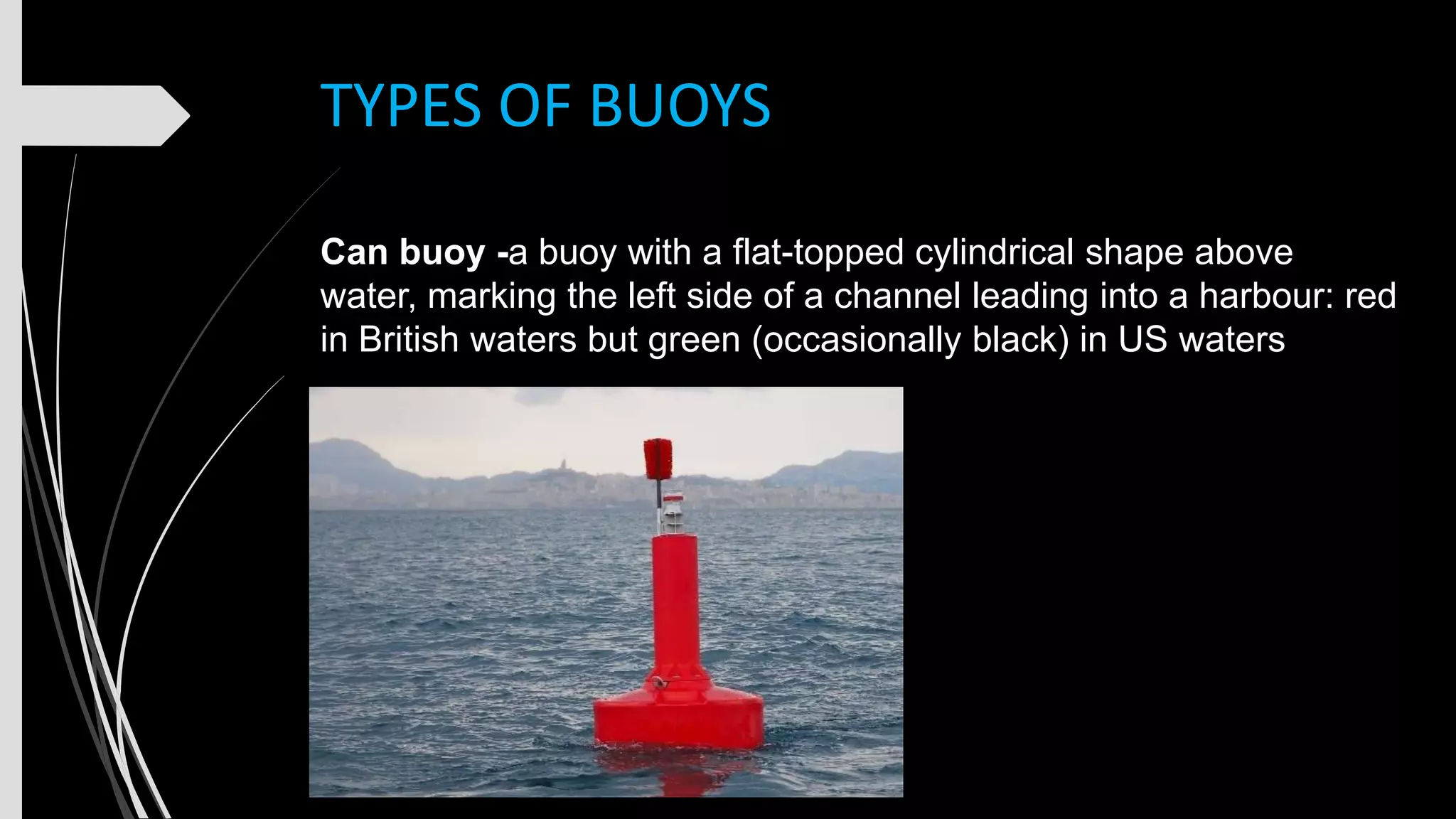
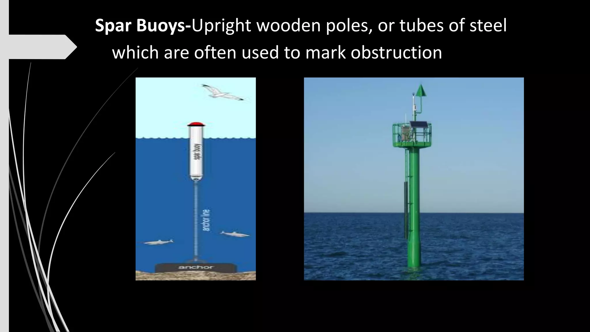
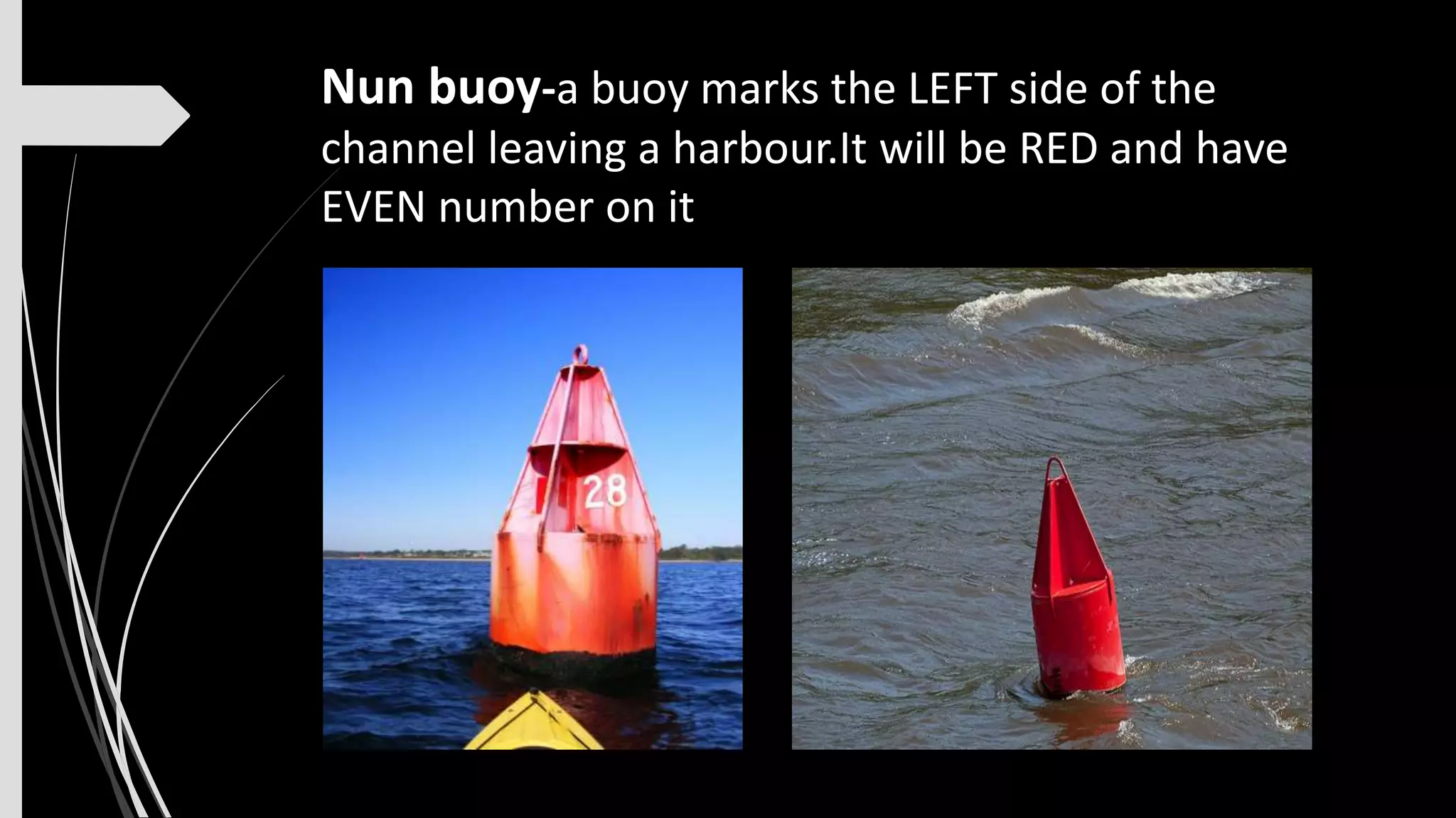
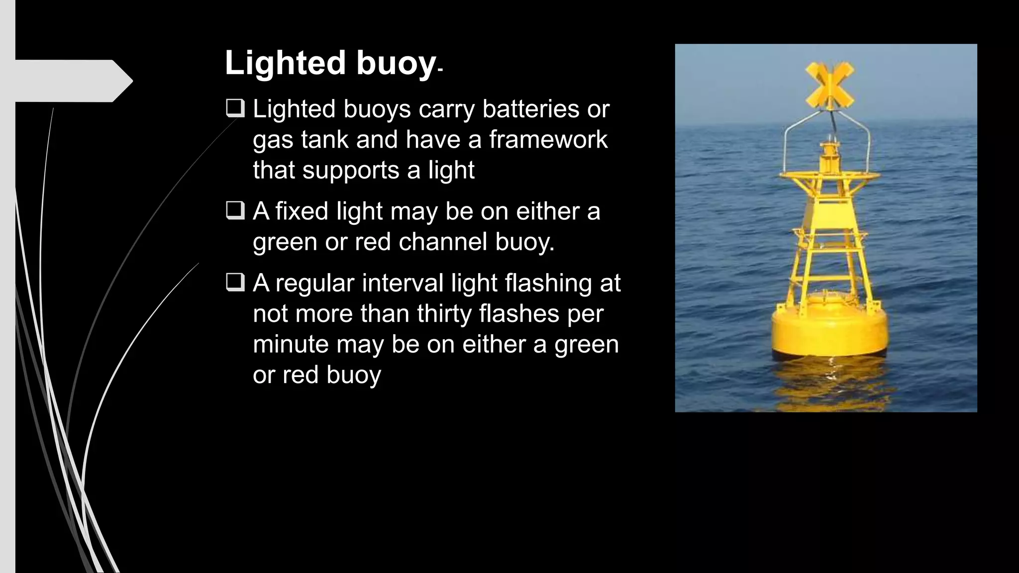
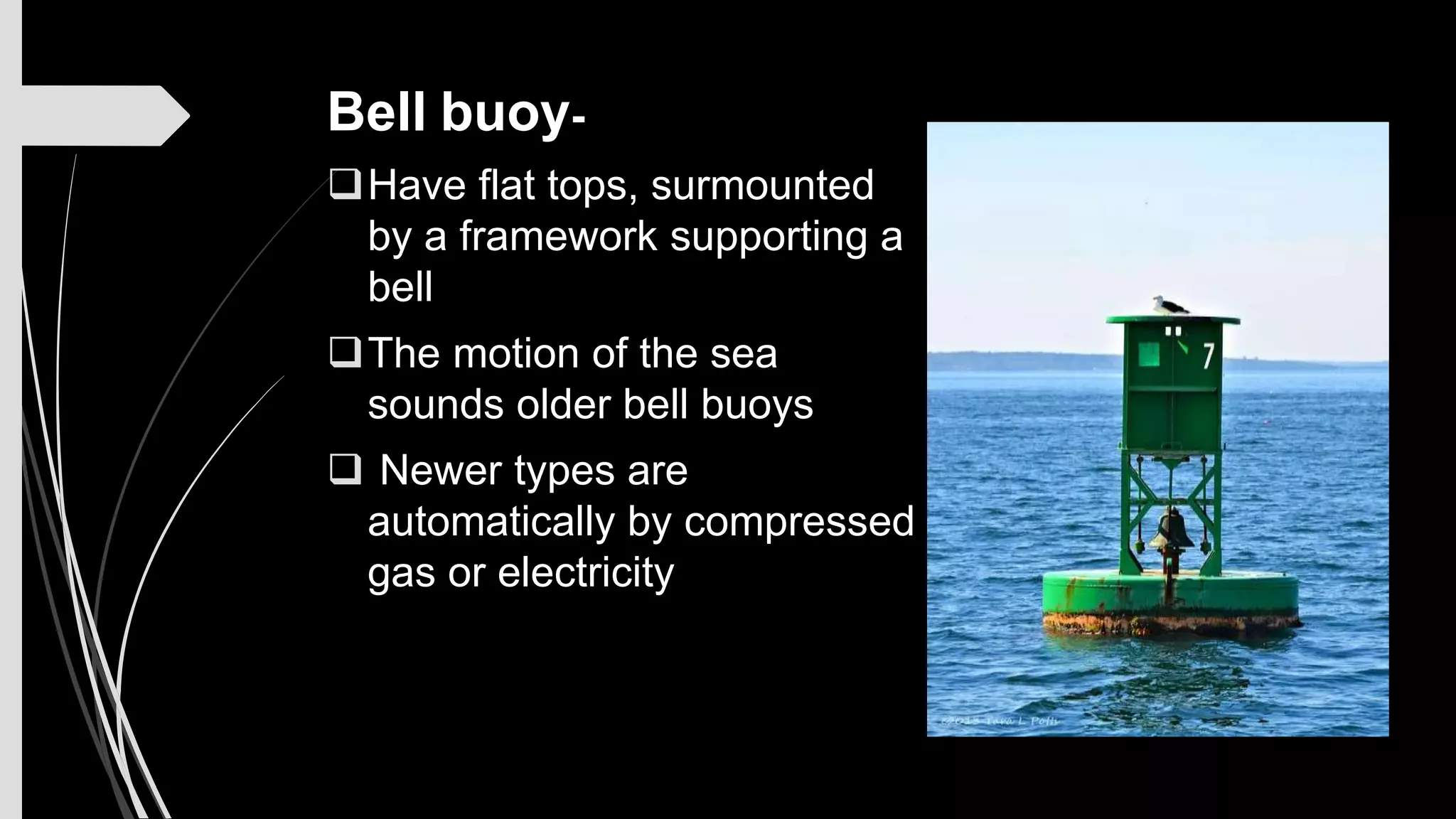
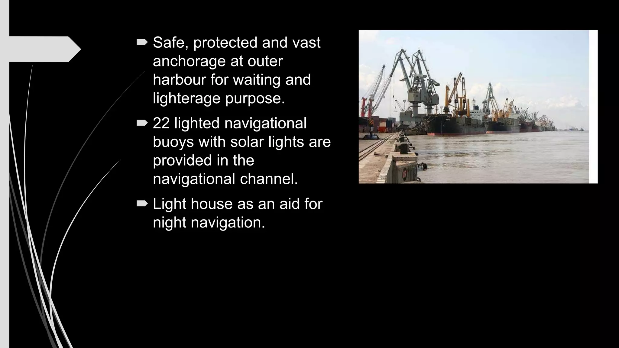
3) Buoys are floating objects that are anchored and use their shape, color, lights, or bells to provide navigational information. Examples are can, nun, and