Downloaded 553 times

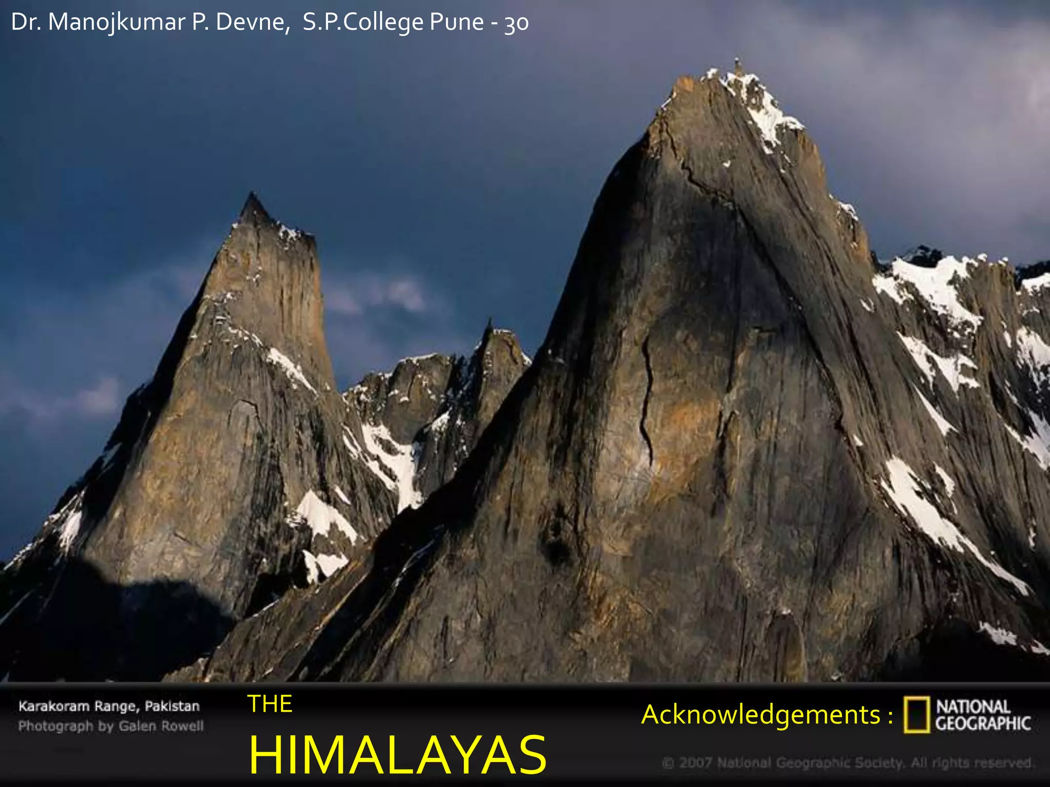
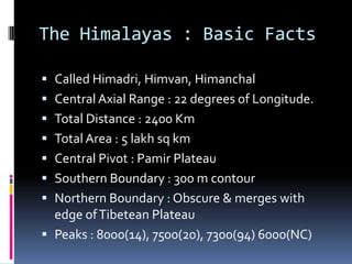
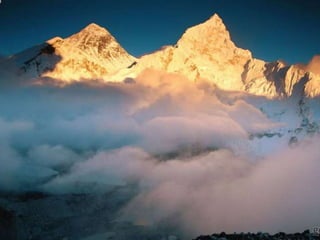
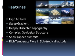
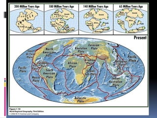
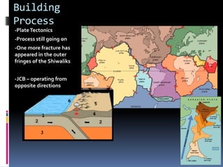
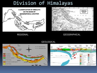
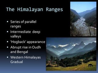
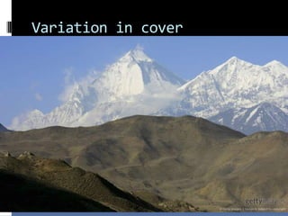
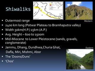
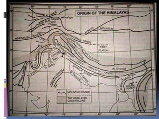
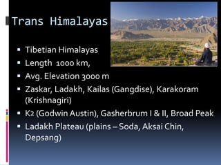
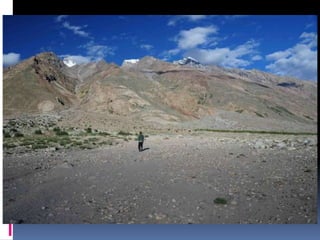
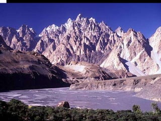
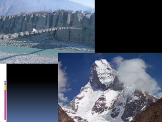
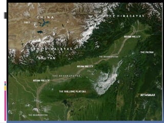
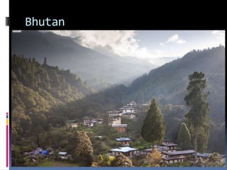
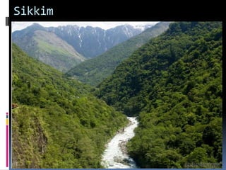
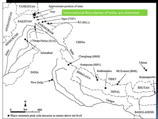
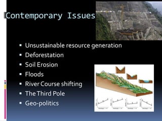
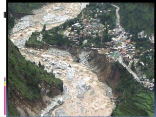
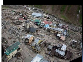
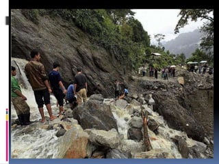
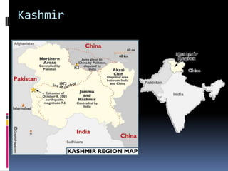
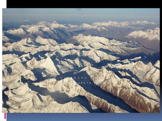

The document provides an overview of the Himalayas, detailing basic facts, geological origins, features, and classifications of its ranges, including the Great, Middle, and Lesser Himalayas. It discusses the complex tectonic processes, physical characteristics, and notable peaks like Mt. Everest, along with regional issues such as deforestation and floods. Additionally, it acknowledges contributions from Dr. Manojkumar P. Devne and offers contact information.


