Download to read offline
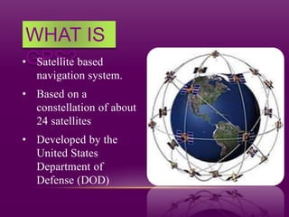
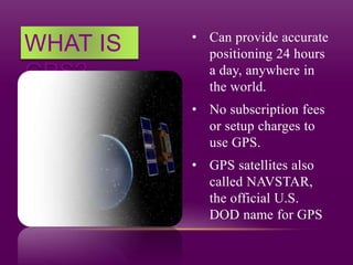
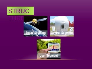
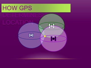
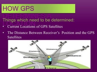
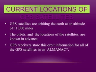
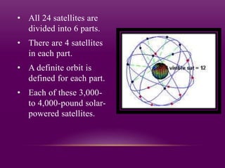
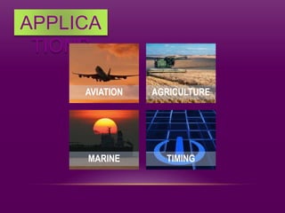
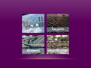


The document discusses the Global Positioning System (GPS). It explains that GPS is a satellite-based navigation system consisting of 24 satellites operated by the U.S. Department of Defense. GPS uses these satellites to determine the location of receivers on Earth by calculating the time it takes signals from multiple satellites to reach the receiver and triangulating the position based on this information. The document outlines factors like satellite positions, signal travel times, and error sources that influence the accuracy of GPS positioning. It also lists applications of GPS such as aviation, marine navigation, and disaster relief.


![GPS[Global Positioning System]](https://cdn.slidesharecdn.com/ss_thumbnails/globalpositioningsystem-130707095218-phpapp02-thumbnail.jpg?width=640&height=640&fit=bounds)


![How Big Brands are Taking Your Traffic in Alberta [Data Inside].pptx](https://cdn.slidesharecdn.com/ss_thumbnails/howbigbrandsaretakingyourtrafficinalbertadatainside-260123180142-42d276f3-thumbnail.jpg?width=640&height=640&fit=bounds)


