Download to read offline


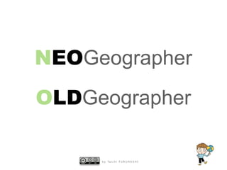


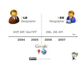
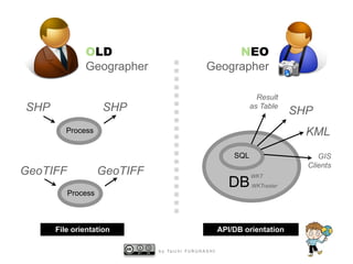


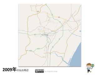
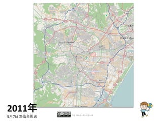
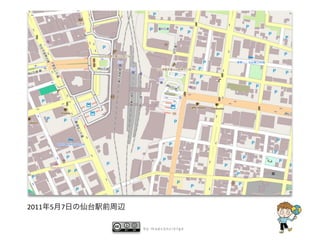
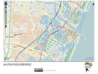
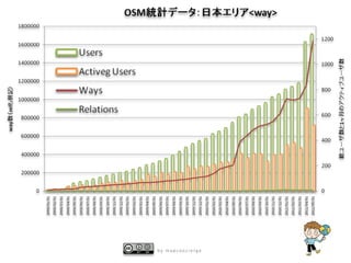


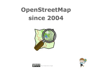


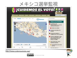
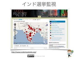
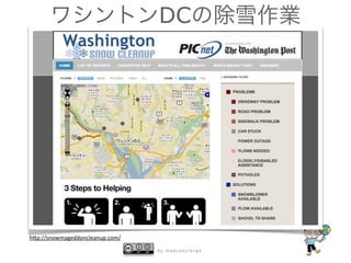
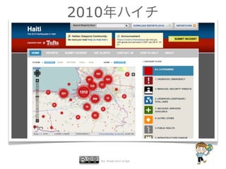


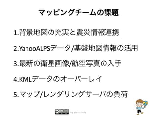

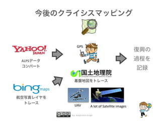
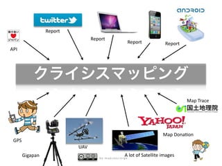


This document discusses the evolution of OpenStreetMap and citizen mapping over time. It contrasts "old" mappers from 2004-2005 with "new" mappers from 2006-2007, noting changes like a shift from file-based to API/database-oriented work after Google Maps launched. It also outlines key events and tools that expanded OSM mapping like Google's geo services, mobile apps, crisis mapping, and aerial imagery collection. Overall it traces how OSM and citizen science mapping has grown from a niche hobby to a widespread global phenomenon.


