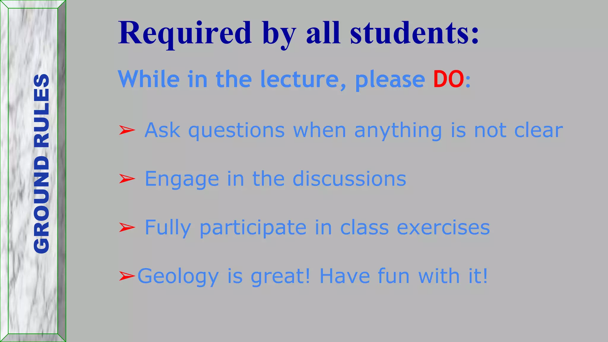
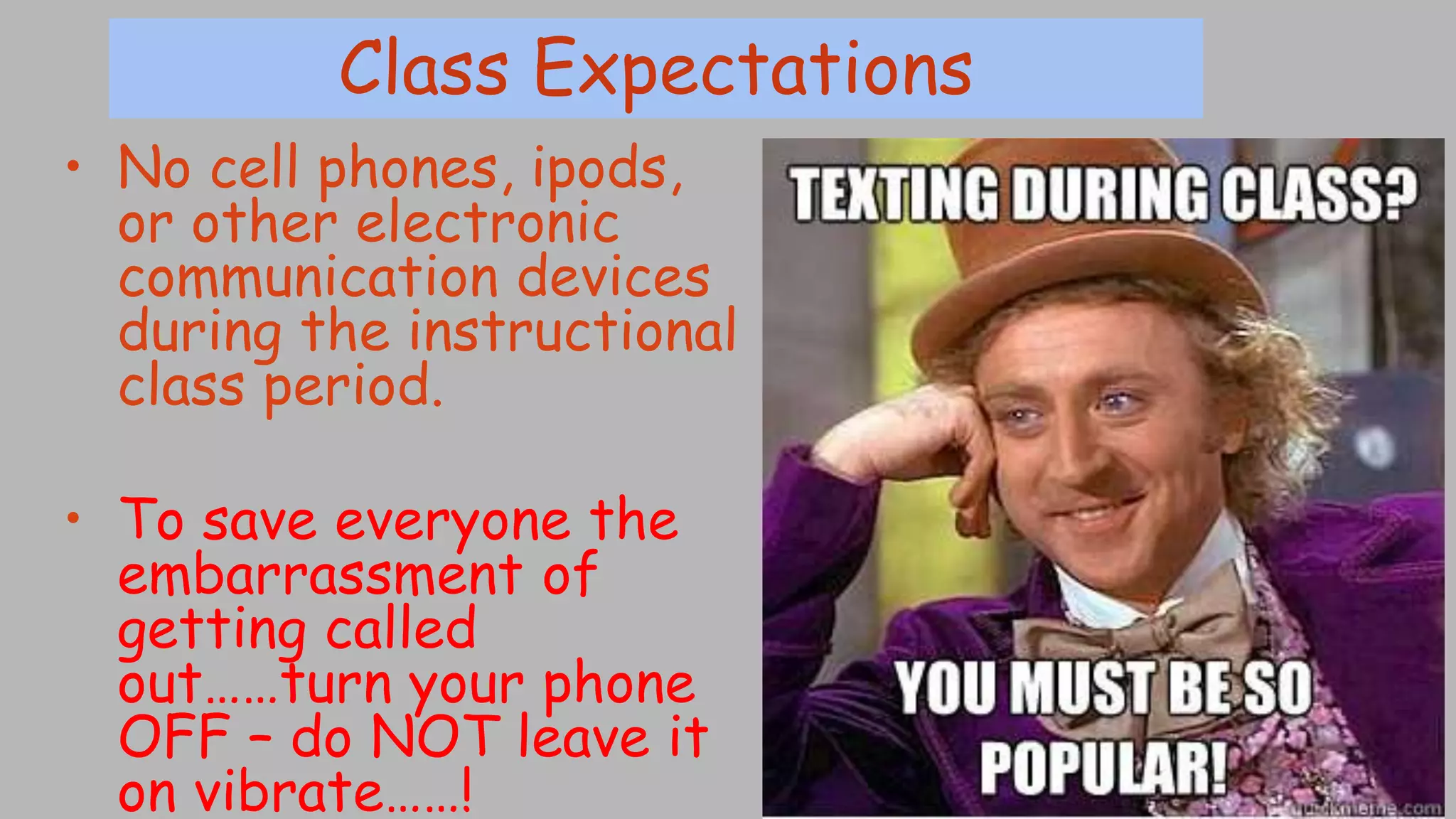
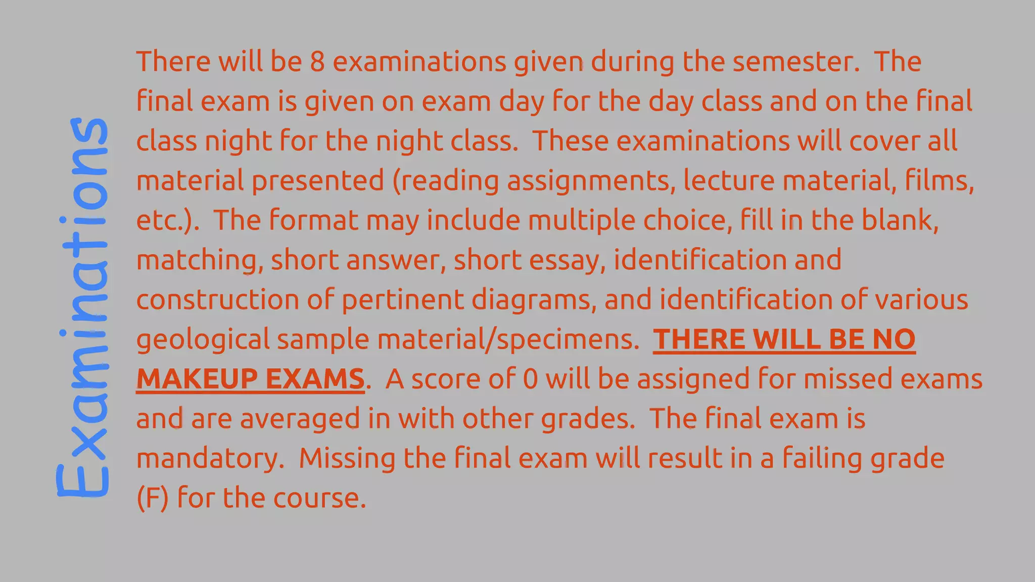
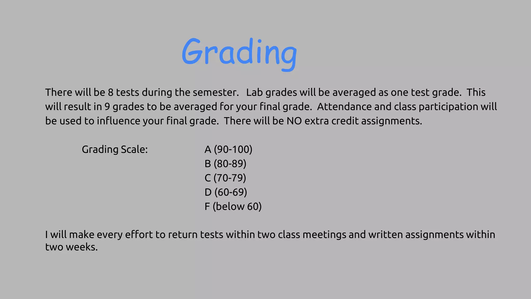
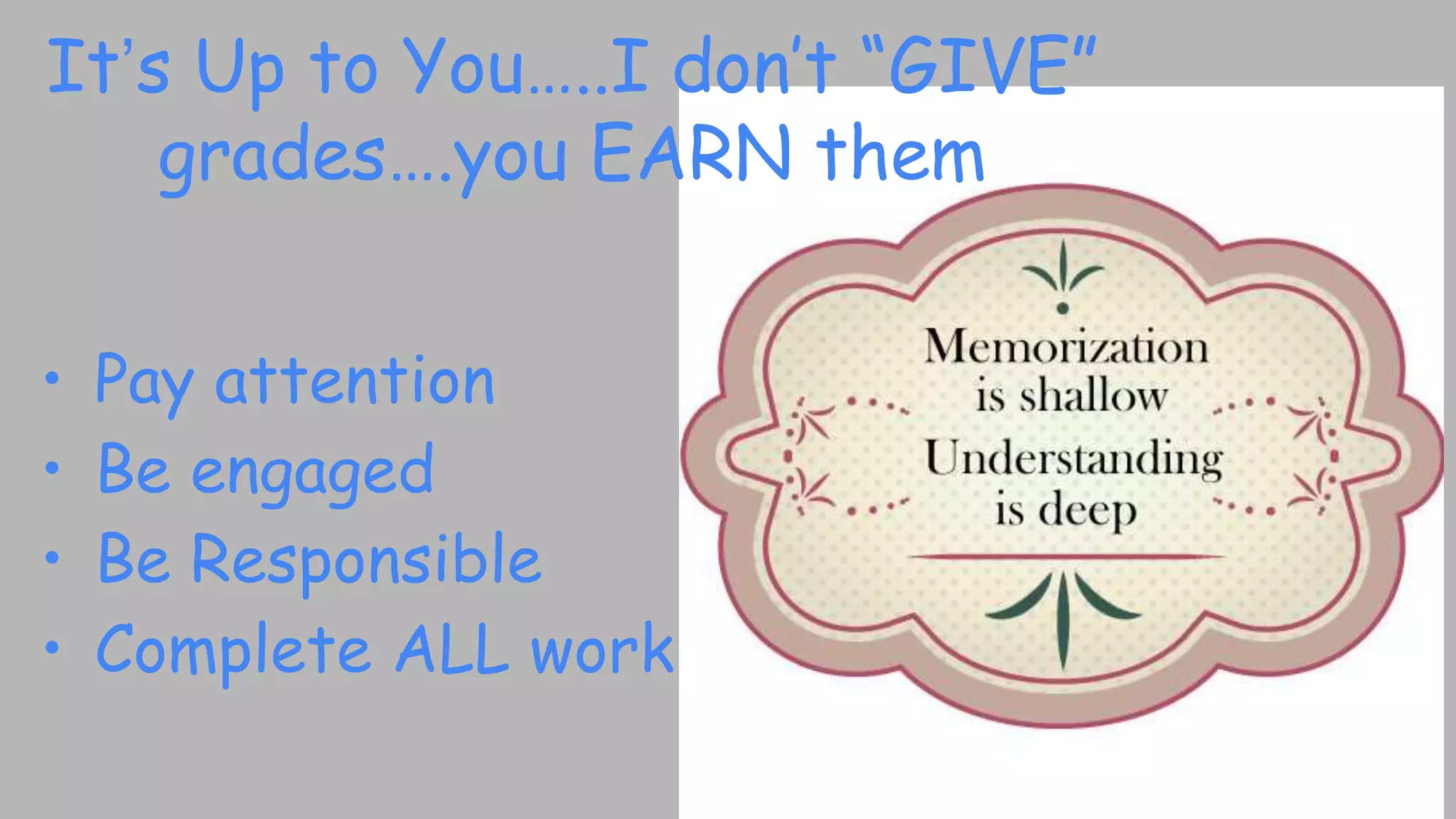
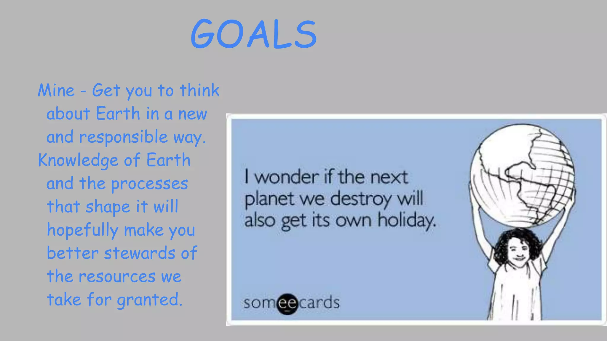
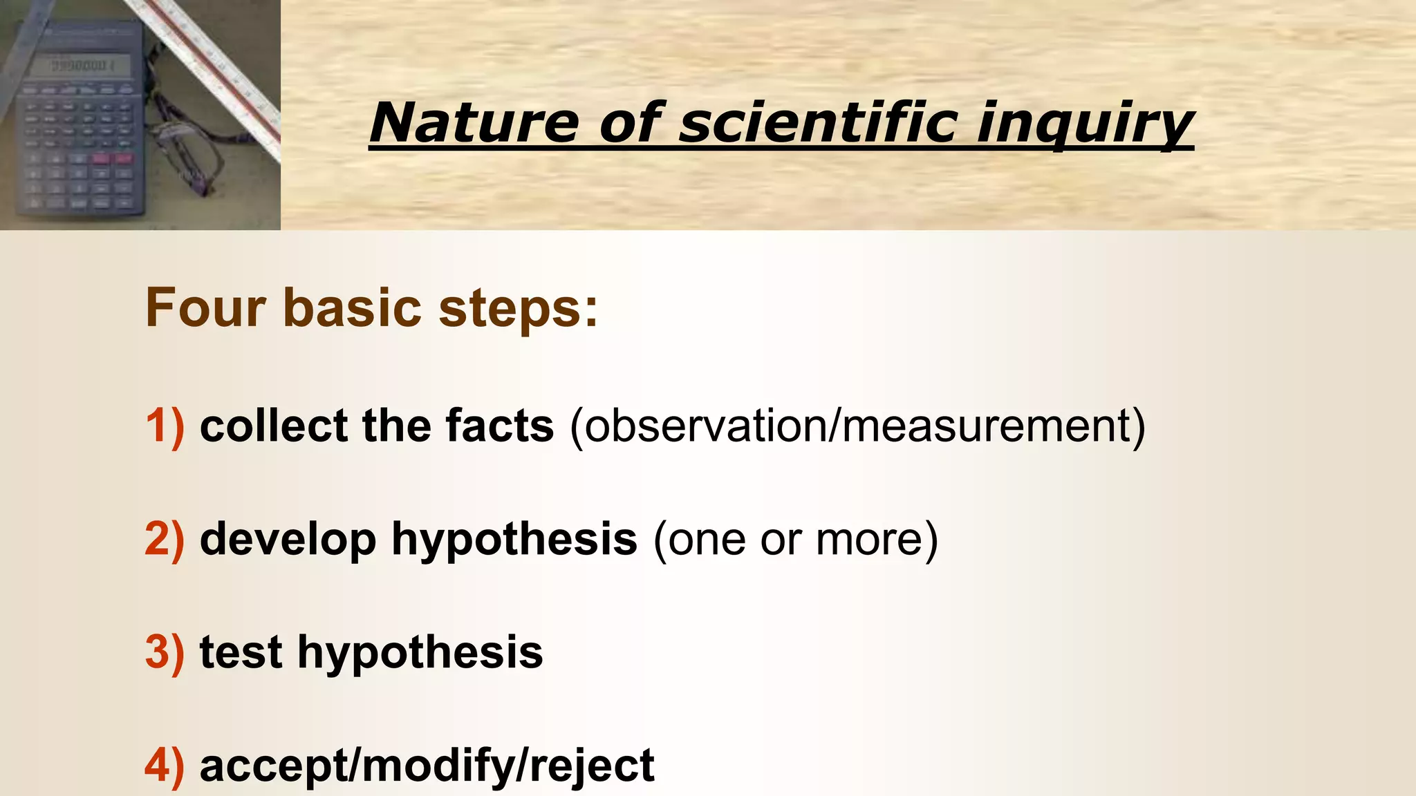
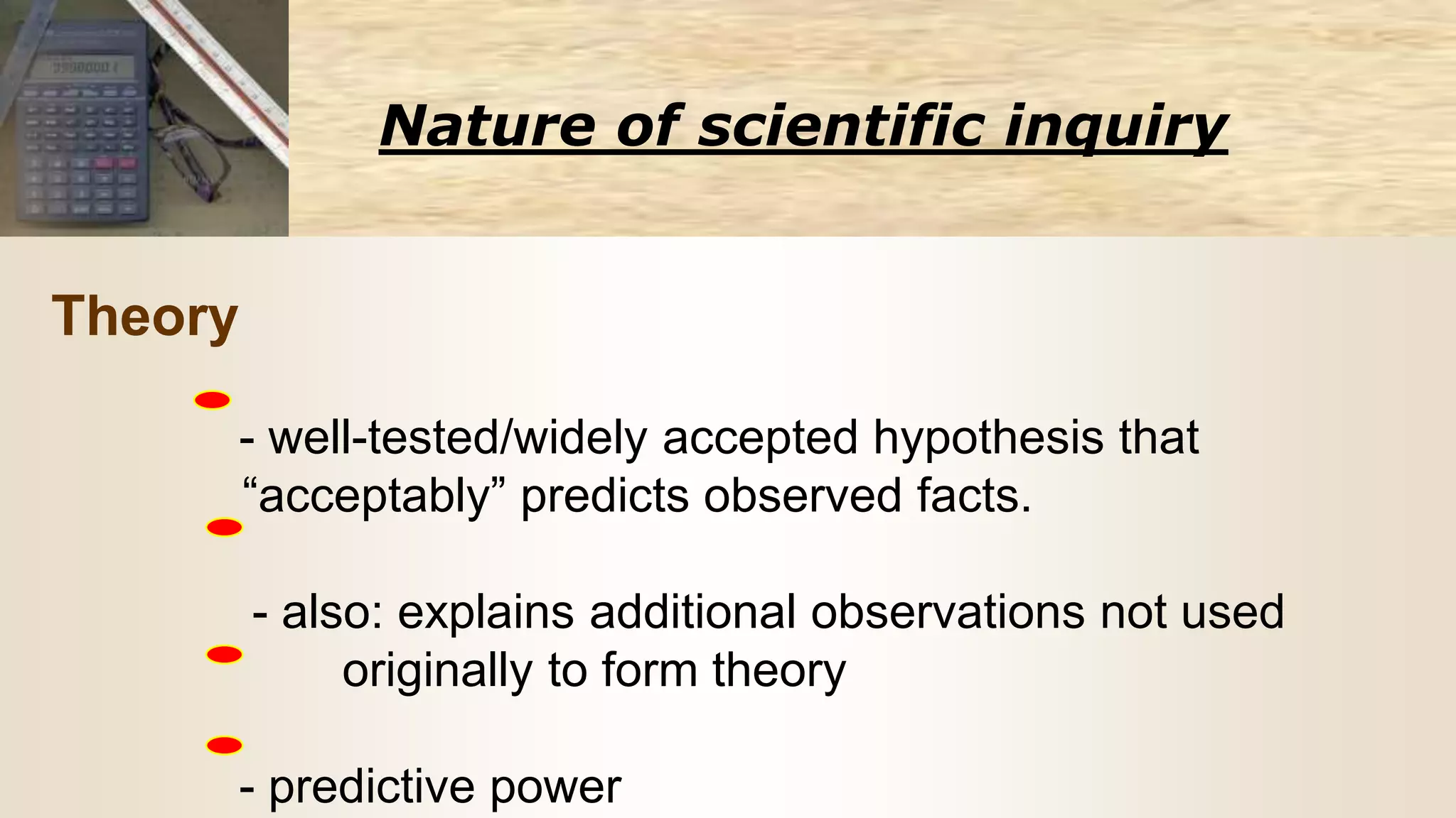
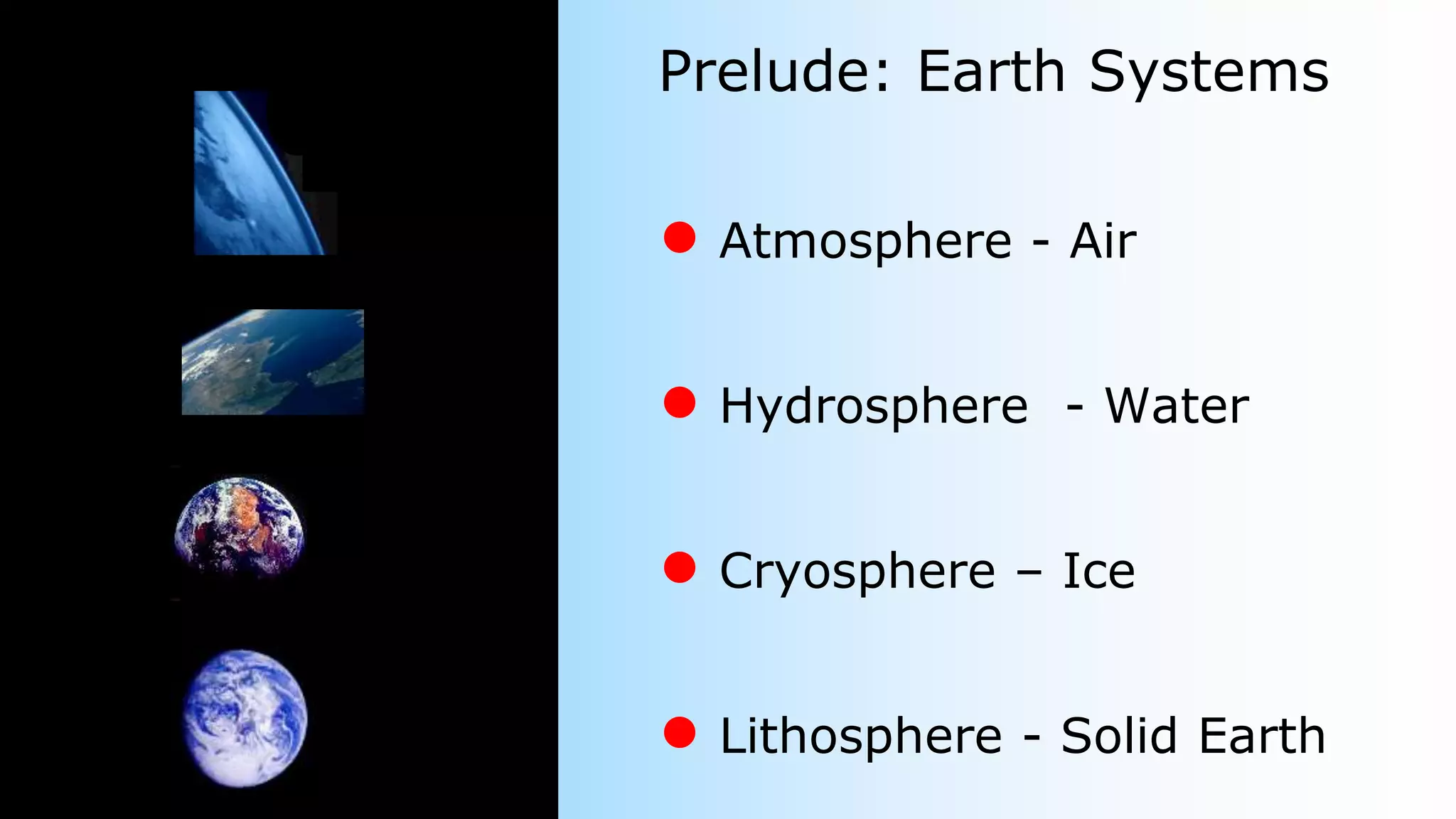
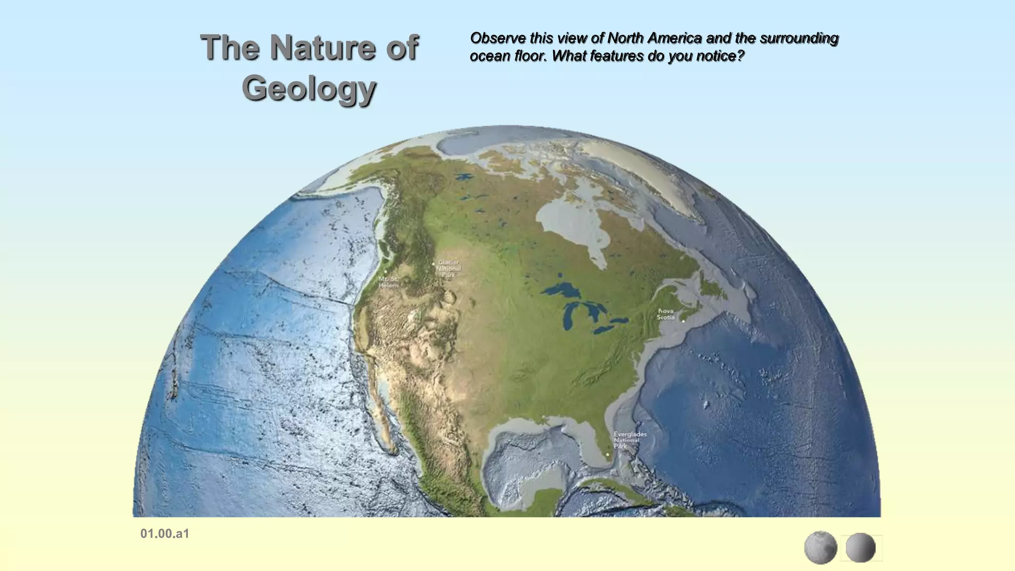
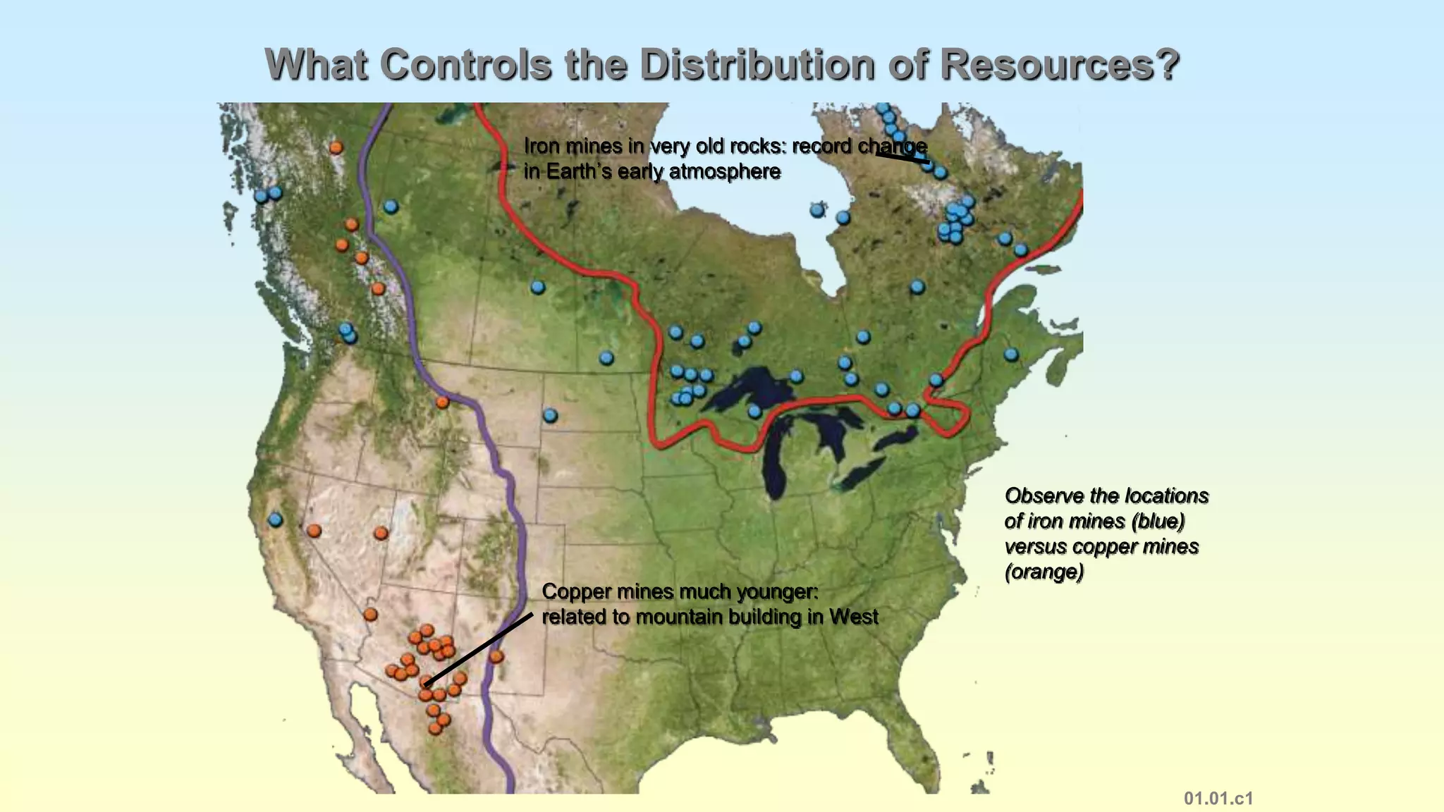
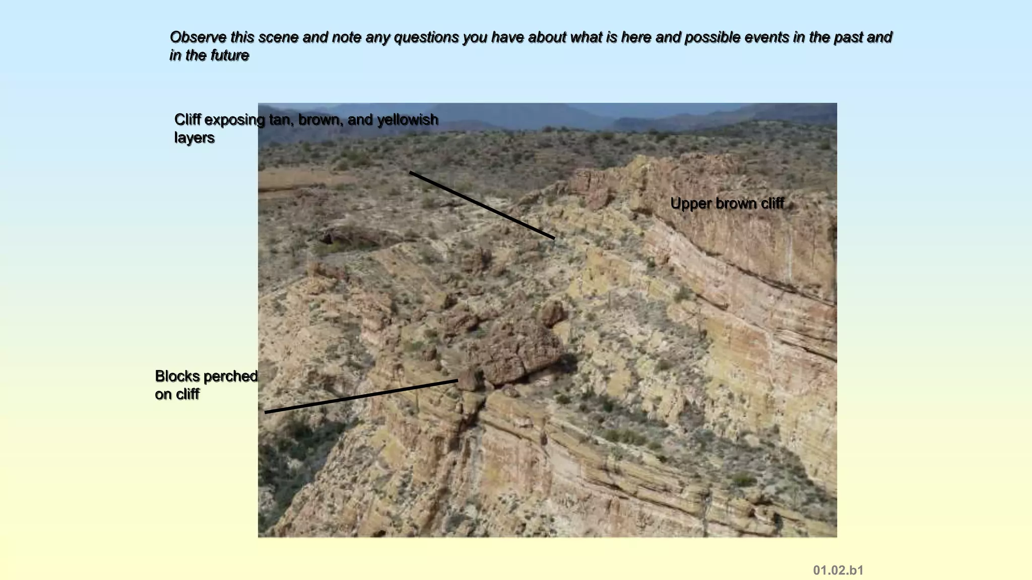
Welcome to Geology 111
● Why are we here?
● A few ground rules…
● Resources for success
in Geology 111
●Stuff about me
● Course exams & grading.
● Overarching goals for
this course
Today: Course Overview
Top Five Reasons:
●You absolutely LOVE geology
●You need a science credit to graduate & think
geology is easier than physics &/or need it
NOW to graduate (I feel your pain)
●Just curious, it seemed like it might be cool
●You have absolutely no idea
●You may actually need this stuff for your
job/career??
WHYYOUAREHERE?
● Read the textbook
- Assigned chapters, see Blackboard for weekly
assignments
● Attend lectures
- Hear topical overviews & ask questions
- Do in-class assignments and complete all labs and HW
- Exams - will be given after each
● In-class exercises and homework assignments
- Exercises each class.
- Lab reports - typed using Google Docs
GROUNDRULES
While in lecture, please DO NOT:
➢ Forget to turn off cell phones
➢ Talk and have conversations
➢ Sleep uncontrollably, endangering
yourself and others
➢ Break JCC rules/laws (e.g. Don’t cheat,
smoke, chew tobacco, etc.)
Required by all students:GROUNDRULES
Required by all students:
While in the lecture, please DO:
➢ Ask questions when anything is not clear
➢ Engage in the discussions
➢ Fully participate in class exercises
➢Geology is great! Have fun with it!
GROUNDRULES
Class Expectations
• No cell phones, ipods,
or other electronic
communication devices
during the instructional
class period.
• To save everyone the
embarrassment of
getting called
out……turn your phone
OFF – do NOT leave it
on vibrate……!
• We will take a 10 minute
break ½ way through the
class - if I
forget…..please scream,
yell and/or do cartwheels.
• Don’t be late to class or
from breaks – please…..
Resources for Success:
• YOU and YOUR attitude!
•Blackboard, textbook…...and the Syllabus!
• Teacher – Ms. Lori Zimmerman
–Stuff about me….
MINDSHIFT
There will be 8 examinations given during the semester. The
final exam is given on exam day for the day class and on the final
class night for the night class. These examinations will cover all
material presented (reading assignments, lecture material, films,
etc.). The format may include multiple choice, fill in the blank,
matching, short answer, short essay, identification and
construction of pertinent diagrams, and identification of various
geological sample material/specimens. THERE WILL BE NO
MAKEUP EXAMS. A score of 0 will be assigned for missed exams
and are averaged in with other grades. The final exam is
mandatory. Missing the final exam will result in a failing grade
(F) for the course.
Grading
There will be 8 tests during the semester. Lab grades will be averaged as one test grade. This
will result in 9 grades to be averaged for your final grade. Attendance and class participation will
be used to influence your final grade. There will be NO extra credit assignments.
Grading Scale: A (90-100)
B (80-89)
C (70-79)
D (60-69)
F (below 60)
I will make every effort to return tests within two class meetings and written assignments within
two weeks.
It’s Up to You…..I don’t “GIVE”
grades….you EARN them
• Pay attention
• Be engaged
• Be Responsible
• Complete ALL work
GOALS
Mine - Get you to think
about Earth in a new
and responsible way.
Knowledge of Earth
and the processes
that shape it will
hopefully make you
better stewards of
the resources we
take for granted.
Goals
Yours??
Pass - barely
Pass - YES
Pass - with flying
colors
Have fun and learn some
cool stuff
GOALSFORGEL111
● JCC Course catalog says:
●This course introduces landforms and basic geological
processes. Topics include rocks, minerals, volcanoes, fluvial
processes, geological history, plate tectonics, glaciers, and
coastal dynamics. Upon completion, students should be
able to describe basic geological processes that shape the
earth. This course has been approved to satisfy the
Comprehensive Articulation Agreement general education co-
requirement in natural sciences/mathematics.
● To develop critical thinking skills & a basic
understanding of how the science works
● Become familiar with some of the observational
methods, reasoning processes and analytical tools
used by geologists to understand the Earth and its
history
● Learn the basic scientific concepts and principles-
essentially the current paradigm for how the Earth
and its systems interact to produce what we see.
● But also, we have these goals:GOALSFORGEL111
You will be learning a new language!
❖Geology is a broad, interdisciplinary science with a rich
vocabulary. The terminology we will use throughout this
course will require that you learn a new language.
❖We will all work together to find ways to become familiar
with this vocabulary and the ideas it is designed to convey.
But more is needed than simply memorizing terms. You also
need to develop an understanding of the conceptual
framework that the terminology is a part of, and how the
words and concepts relate to each other.
GOALSFORGEL111
● Enrich your understanding of the planet we depend upon
for our survival.
● Broaden your perspective of the relationship between
humans & their environment.
● Become as more responsible citizen and make smart
investments in your future, and the future of your children.
● Maybe you will decide to become one of the true, the
proud and the brave and go on to major in geology!
Application of this new knowledge:GOALSFORGEL111
Lecture style designed to address the fact
that different people learn differently:
● Seeing/visual learning
● Reading the written word
● Hearing about it
● Engaging through personal inquiry and discovery
● Connecting what we learn in the classroom to what is out
there!
GOALSFORGEL111
What methods will we need to
succeed in geology?
● An innate curiosity and willingness to ask questions
● Good observational skills to recognize basic patterns and
spatial relationships
● A systematic approach to documenting, analyzing,
and predicting observations
● An ability to visualize in 3-dimensional space, while
integrating the 4th dimension, time.
● Willingness to learn and apply basic scientific principles
GEOLOGY111TOOLS
Time…
Geology deals with complex historical systems that
have evolved and changed over time.
Time is thus a fundamental variable in geology.
Coupled processes, operating over time produce all
that we see.
Nature of scientific inquiry
Basic Concepts:
● Scientific method
●Observation
● Hypothesis
● Test
● Scientific “certainty”
● Paradigms and the nature of
scientific revolutions
Chapter 1
Nature of scientific inquiry
Science is based on:
assumption that the natural world behaves in
a consistent & predictable manner
Goals of science:
understand underlying patterns in nature
(from careful observations/measurements)
form hypotheses that lead to predictions
Nature of scientific inquiry
Scientific method
gathering information through careful observation
to formulate hypotheses and theories
note: involves insight and creativity to break free
from conditioned accepted views
Nature of scientific inquiry
Four basic steps:
1) collect the facts (observation/measurement)
2) develop hypothesis (one or more)
3) test hypothesis
4) accept/modify/reject
Nature of scientific inquiry
Theory
- well-tested/widely accepted hypothesis that
“acceptably” predicts observed facts.
- also: explains additional observations not used
originally to form theory
- predictive power
A Prelude:
And just what is Geology?
01.08.a1
Earth’s Place in the Solar System
Mercury
Sun
Venus
Earth
and
Moon
Mars
Asteroids
Jupiter
Saturn
Uranus
Neptune
Other
objects
Orbit of
planets:
nearly
circular
Size and proximity of objects are not to scale!
Prelude: Earth Systems
● Atmosphere - Air
● Hydrosphere - Water
● Cryosphere – Ice
● Lithosphere - Solid Earth
01.00.a1
The Nature of
Geology
Observe this view of North America and the surrounding
ocean floor. What features do you notice?
01.01.c1
What Controls the Distribution of Resources?
Observe the locations
of iron mines (blue)
versus copper mines
(orange)
Iron mines in very old rocks: record change
in Earth’s early atmosphere
Copper mines much younger:
related to mountain building in West
01.02.b1
Observe this scene and note any questions you have about what is here and possible events in the past and
in the future
Upper brown cliff
Blocks perched
on cliff
Cliff exposing tan, brown, and yellowish
layers
01.02.c
Evidence of Past Global Climate Change
Note how the extent of glaciers and ice sheets has changed since 28,000 years ago. What are some
possible factors that could have caused this change?
28,000 Years Ago Present
Atmosphere
● Protection from Sun’s heat & UV rays
● Weather: due to exchange of energy
• between Earth’s surface & atmosph.
• between atmosph. & outer space
● Strongly interacts w/ surface
Blanket of gases surrounding the Earth
Hydrosphere
● Oceans (most prominent)
● 71% of surface of Earth
● 97% of all water is located in the oceans
● Streams, lakes, glaciers, underground water
(3% of all water available)
● Atmosphere
Water portion of Earth
Cryosphere
● Glaciers
● Permafrost and ground ice
● Polar ice caps
● Frozen polar seas
Icy portion of Earth’s crust
Biosphere
● Earth’s surface and subsurface to depths of a few
kilometers
● Life occupies an extreme range of environments
● Life strongly interacts with the atmosphere, the
hydrosphere and the solid earth (these interactions
are called ecology!)
Earth’s Ecosystems
01.03.a
What Is Inside
Earth?
Thickest layer:
mantle
Upper layer is crust (two types):
continental oceanic
Deepest layer: iron-nickel core (molten outer
core; solid inner core)
Draw and label
a sketch showing the crust,
mantle, and core
01.03.b1
Some Layers Are Stronger than Others
Oceanic crust
Continental crust
Uppermost mantle
Lithosphere
(stronger)
Asthenosphere (weaker)
Asthenosphere: hot and weak; mostly solid
Draw and label a sketch showing the lithosphere and the asthenosphere
01.03.t1
Observe the relationship between the height of each block
and its thickness relative to other blocks
Dense materials (like a more
dense wood) are lower
Thick blocks higher
than thin blocks
Relationship between crustal thickness and elevation:
isostasy
Why Are Some Regions Higher
In Elevation than Others?
Copyright © McGraw-Hill Education. All rights reserved. No reproduction or distribution without the prior written consent of McGraw-Hill Education
Created by: L.Zimmerman
Testing your powers of observation:
1. Use only your
sense of sight
to make
observations to
determine:
A. Which of the
two center
circles is largest
or smallest.
Created by: L.Zimmerman
 Do you see a young woman
or an old woman?
Do you see the liar in this picture?
Created by: L.Zimmerman
http://www.monmouth.com/~cathygrim/mystery.htm
• You will be showed a picture
• You have one (1) minute to
look at the picture.
• Do this without talking to
others.
• List at least four (4)
observations!
M. d’Alessio, 2004
MurderMystery
GrandCanyon,Arizona,CopyrightLarryFellows
http://www.earthscienceworld.org/imagebank/search/results.html?ImageID=hmwnq6
Originally
Horizontal
OLDER
YOUNGER
Timing
Layers on top of layers
Watching Layers Form
Larry Ridenhour, BLM/Jennifer Loomis, TERC
http://www.classzone.com/books/earth_science/terc/content/investigations/es2903/es2903page03.cfm
es2903_p03_deposition.swf
Tilted Layers
USGS/Jennifer Loomis, TERCTilted limestone beds in the Mojave Desert, California
http://www.classzone.com/books/earth_science/terc/content/investigations/es2903/es2903page04.cfm.
Watching Layers Tilt
Unconformity
Unconformity
Olympic Coast, Washington: 4th Beach near Kalaloch
Copyright Patti Bleifuss
http://patti.tensegrity.net/album/hoh/images/unconformity.jpg
Fold
Fold
Marin Headlands, California -- Image from Roland Bürgmann
http://www.seismo.berkeley.edu/~burgmann/EPS116/labs/marin2004/Fold%20-%20John%20R%202.JPG
USGS/Tom Grace, TERCFolded layers in the Sangre de Cristo Range of Colorado.
http://www.classzone.com/books/earth_science/terc/content/investigations/es2903/es2903page05.cfm?chapter_no=investigation
Watching Layers Fold
Cross Cutting
Grand Canyon, Arizona -- Copyright Ramón Arrowsmith
Cross Cutting
MOST RECENT
Wind and Process
Death Valley, CA
Copyright Marli Miller
AGI Image Bank photo ha45z2 Zion, Utah
Copyright Marli Miller
AGI Image Bank photo ha45jb
http://www.msnucleus.org/membership/html/jh/earth/sedimentary/lesson5/sedimentary5d.html
PROCESS
ANCIENTPRESENT
“The present is
the key to the
past.”
James Hutton
Famous Geologist
(lived 1726-1797)
http://www.physicalgeography.net/
fundamentals/10c.html
Created by: L.Zimmerman
Our powers of observation are limited by our
senses.
Instruments – can be used to improve or extend our
powers of observation. These devices have been
invented by people to extend the human senses
beyond their normal limits, and thus enable us to
make observations that would otherwise be impossible or
highly inaccurate.
Created by: L.Zimmerman
Inference
 An interpretation or a
conclusion (educated
guess) based on
observations.
 They may or may not be
true.
M. d’Alessio, 2004
Murder Mystery
02.01.a1
Observe this landscape, noting different
types of features (e.g., fractures) and
examples of each type of feature
Hill has different
parts
Various colors Ledges that reflect layers
Some color looks
to be a stain on
outside of rock
Fractures
Loose pieces
versus solid
bedrock
Loose pieces
cover reddish
rocks in slope
Rounded versus
angular corners
02.01.a2
Layers
Fractures
Loose pieces covering
slope
Observe this version, where similar features
are colored alike
Colors show main rock units
02.01.b1
•Sketch and label the main features on this photograph
•Using your powers of observation to describe what you see
•Can you make any inferences??
Examine how this sketch portrays the previous photograph
Does the sketch change the way you look at the photograph?
02.01.b2
02.02.b
Interpreting Evolution of Landscapes
Observe these three different models, which show how a
landscape changes over time
Mesa Butte Knobs
02.02.c1
Determining Sequences of Events:
Position of Layers
Principle: the youngest layer is on top
Oldest rock is
on the bottom
Mapping
Created by L. Zimmerman
Introduction to Maps
S Maps are an extremely useful tool for many science and non-
science disciplines.
S They provide “pictures” of areas/regions/land surfaces!
Types of Maps
Topographic map with
elevation contours
Shaded-relief map
02.03.a
Types of Maps
Geologic map (types and
ages of rocks and features)
Satellite image
02.03.a
Review (or new?) Coordinates
Latitude (parallels)
S Describe positions North and South of the
equator. Parallels run east to west around the
world.
S Parallels are measure in degrees from 0 to 90.
Those that are above the equator are labeled
North; those below are labeled South.
S Each degree of latitude consists of 60 equal
parts called minutes.
o Each minute is divided into 60 seconds
S Example: 38o 53’ 51”
Longitude (meridians)
S Describes positions East and West of the Prime
Meridian. Meridians run north and south around the
world.
S The 0o meridian is called the Prime Meridian and
runs directly through Greenwich, England.
S Locations east of Prime Meridian have longitudes
between 0 and 180o E. Locations west of the Prime
Meridian have longitudes between 0 and 180o W.
S Longitude can also be broken down into minutes and
seconds.
Created by L. Zimmerman
Smaller units of Latitude/Longitude
•The Latitude/Longitude grid system can be broken into smaller units
of measure called “arc degrees” – there are 60 minutes of arc
degrees between 2 lines of latitude/longitude.
•This system makes it possible to measure positions more
Created by L. Zimmerman
North Carolina (and ALL states) is divided into
QUADRANTS which are 30’ x 30’
Created by L. Zimmerman
30’ x 30’ are
further
subdivided into
15 minute and
7.5 minute
quads
EACH new
quadrangle
providing more
and more detail
with each
subdivision
Created by L. Zimmerman
Reading a Map
Legend - list of symbols and their meanings
Scale – indicates the relationship (a ratio) between
the distances on the map and the actual distance
02.04.a1
Referring to Differences in Topography
Examine this figure and the different ways you could
convey differences in topography from one place to another
Relief: elevation
difference between
two places
Elevation:
height above
sea level
Steepness
of slope
Features of Topographic
Maps
Elevation – height above sea level
Sea level – point between the highest and lowest tide
levels (elevation at sea level = 0)
Contour lines – used to show elevation and connect all
points on the map with equal elevation
Contour interval – difference in elevation between one
contour line and the next
Relief – difference in elevation between the highest and
lowest points
Index contour – every 5th line is BOLD and its elevation
is labeled
Created by L. Zimmerman
Contour Lines:
Connect all points on
a map that have the
same elevation above
sea level.
Topographic Maps
S There are many symbols used on
the map. These are explained in
the legend.
Topographic Maps
Contour lines spaced close together indicate a steep
slope.
Contour lines spaced far apart indicate a gentle
slope.
Contour lines that form a closed loop indicate a hill.
V-shaped contour lines indicate a valley and the “V”
will point upstream. (Rivers flow DOWNHILL)
Created by L. Zimmerman

Gel 111 intro ppt

  • 1.
  • 2.
    ● Why arewe here? ● A few ground rules… ● Resources for success in Geology 111 ●Stuff about me ● Course exams & grading. ● Overarching goals for this course Today: Course Overview
  • 3.
    Top Five Reasons: ●Youabsolutely LOVE geology ●You need a science credit to graduate & think geology is easier than physics &/or need it NOW to graduate (I feel your pain) ●Just curious, it seemed like it might be cool ●You have absolutely no idea ●You may actually need this stuff for your job/career?? WHYYOUAREHERE?
  • 4.
    ● Read thetextbook - Assigned chapters, see Blackboard for weekly assignments ● Attend lectures - Hear topical overviews & ask questions - Do in-class assignments and complete all labs and HW - Exams - will be given after each ● In-class exercises and homework assignments - Exercises each class. - Lab reports - typed using Google Docs GROUNDRULES
  • 5.
    While in lecture,please DO NOT: ➢ Forget to turn off cell phones ➢ Talk and have conversations ➢ Sleep uncontrollably, endangering yourself and others ➢ Break JCC rules/laws (e.g. Don’t cheat, smoke, chew tobacco, etc.) Required by all students:GROUNDRULES
  • 6.
    Required by allstudents: While in the lecture, please DO: ➢ Ask questions when anything is not clear ➢ Engage in the discussions ➢ Fully participate in class exercises ➢Geology is great! Have fun with it! GROUNDRULES
  • 7.
    Class Expectations • Nocell phones, ipods, or other electronic communication devices during the instructional class period. • To save everyone the embarrassment of getting called out……turn your phone OFF – do NOT leave it on vibrate……!
  • 8.
    • We willtake a 10 minute break ½ way through the class - if I forget…..please scream, yell and/or do cartwheels. • Don’t be late to class or from breaks – please…..
  • 9.
    Resources for Success: •YOU and YOUR attitude! •Blackboard, textbook…...and the Syllabus! • Teacher – Ms. Lori Zimmerman –Stuff about me…. MINDSHIFT
  • 10.
    There will be8 examinations given during the semester. The final exam is given on exam day for the day class and on the final class night for the night class. These examinations will cover all material presented (reading assignments, lecture material, films, etc.). The format may include multiple choice, fill in the blank, matching, short answer, short essay, identification and construction of pertinent diagrams, and identification of various geological sample material/specimens. THERE WILL BE NO MAKEUP EXAMS. A score of 0 will be assigned for missed exams and are averaged in with other grades. The final exam is mandatory. Missing the final exam will result in a failing grade (F) for the course.
  • 11.
    Grading There will be8 tests during the semester. Lab grades will be averaged as one test grade. This will result in 9 grades to be averaged for your final grade. Attendance and class participation will be used to influence your final grade. There will be NO extra credit assignments. Grading Scale: A (90-100) B (80-89) C (70-79) D (60-69) F (below 60) I will make every effort to return tests within two class meetings and written assignments within two weeks.
  • 12.
    It’s Up toYou…..I don’t “GIVE” grades….you EARN them • Pay attention • Be engaged • Be Responsible • Complete ALL work
  • 13.
    GOALS Mine - Getyou to think about Earth in a new and responsible way. Knowledge of Earth and the processes that shape it will hopefully make you better stewards of the resources we take for granted.
  • 14.
    Goals Yours?? Pass - barely Pass- YES Pass - with flying colors Have fun and learn some cool stuff
  • 15.
    GOALSFORGEL111 ● JCC Coursecatalog says: ●This course introduces landforms and basic geological processes. Topics include rocks, minerals, volcanoes, fluvial processes, geological history, plate tectonics, glaciers, and coastal dynamics. Upon completion, students should be able to describe basic geological processes that shape the earth. This course has been approved to satisfy the Comprehensive Articulation Agreement general education co- requirement in natural sciences/mathematics.
  • 16.
    ● To developcritical thinking skills & a basic understanding of how the science works ● Become familiar with some of the observational methods, reasoning processes and analytical tools used by geologists to understand the Earth and its history ● Learn the basic scientific concepts and principles- essentially the current paradigm for how the Earth and its systems interact to produce what we see. ● But also, we have these goals:GOALSFORGEL111
  • 17.
    You will belearning a new language! ❖Geology is a broad, interdisciplinary science with a rich vocabulary. The terminology we will use throughout this course will require that you learn a new language. ❖We will all work together to find ways to become familiar with this vocabulary and the ideas it is designed to convey. But more is needed than simply memorizing terms. You also need to develop an understanding of the conceptual framework that the terminology is a part of, and how the words and concepts relate to each other. GOALSFORGEL111
  • 18.
    ● Enrich yourunderstanding of the planet we depend upon for our survival. ● Broaden your perspective of the relationship between humans & their environment. ● Become as more responsible citizen and make smart investments in your future, and the future of your children. ● Maybe you will decide to become one of the true, the proud and the brave and go on to major in geology! Application of this new knowledge:GOALSFORGEL111
  • 19.
    Lecture style designedto address the fact that different people learn differently: ● Seeing/visual learning ● Reading the written word ● Hearing about it ● Engaging through personal inquiry and discovery ● Connecting what we learn in the classroom to what is out there! GOALSFORGEL111
  • 20.
    What methods willwe need to succeed in geology? ● An innate curiosity and willingness to ask questions ● Good observational skills to recognize basic patterns and spatial relationships ● A systematic approach to documenting, analyzing, and predicting observations ● An ability to visualize in 3-dimensional space, while integrating the 4th dimension, time. ● Willingness to learn and apply basic scientific principles GEOLOGY111TOOLS
  • 21.
    Time… Geology deals withcomplex historical systems that have evolved and changed over time. Time is thus a fundamental variable in geology. Coupled processes, operating over time produce all that we see.
  • 22.
    Nature of scientificinquiry Basic Concepts: ● Scientific method ●Observation ● Hypothesis ● Test ● Scientific “certainty” ● Paradigms and the nature of scientific revolutions Chapter 1
  • 23.
    Nature of scientificinquiry Science is based on: assumption that the natural world behaves in a consistent & predictable manner Goals of science: understand underlying patterns in nature (from careful observations/measurements) form hypotheses that lead to predictions
  • 24.
    Nature of scientificinquiry Scientific method gathering information through careful observation to formulate hypotheses and theories note: involves insight and creativity to break free from conditioned accepted views
  • 25.
    Nature of scientificinquiry Four basic steps: 1) collect the facts (observation/measurement) 2) develop hypothesis (one or more) 3) test hypothesis 4) accept/modify/reject
  • 26.
    Nature of scientificinquiry Theory - well-tested/widely accepted hypothesis that “acceptably” predicts observed facts. - also: explains additional observations not used originally to form theory - predictive power
  • 27.
    A Prelude: And justwhat is Geology?
  • 28.
    01.08.a1 Earth’s Place inthe Solar System Mercury Sun Venus Earth and Moon Mars Asteroids Jupiter Saturn Uranus Neptune Other objects Orbit of planets: nearly circular Size and proximity of objects are not to scale!
  • 29.
    Prelude: Earth Systems ●Atmosphere - Air ● Hydrosphere - Water ● Cryosphere – Ice ● Lithosphere - Solid Earth
  • 30.
    01.00.a1 The Nature of Geology Observethis view of North America and the surrounding ocean floor. What features do you notice?
  • 31.
    01.01.c1 What Controls theDistribution of Resources? Observe the locations of iron mines (blue) versus copper mines (orange) Iron mines in very old rocks: record change in Earth’s early atmosphere Copper mines much younger: related to mountain building in West
  • 32.
    01.02.b1 Observe this sceneand note any questions you have about what is here and possible events in the past and in the future Upper brown cliff Blocks perched on cliff Cliff exposing tan, brown, and yellowish layers
  • 33.
    01.02.c Evidence of PastGlobal Climate Change Note how the extent of glaciers and ice sheets has changed since 28,000 years ago. What are some possible factors that could have caused this change? 28,000 Years Ago Present
  • 34.
    Atmosphere ● Protection fromSun’s heat & UV rays ● Weather: due to exchange of energy • between Earth’s surface & atmosph. • between atmosph. & outer space ● Strongly interacts w/ surface Blanket of gases surrounding the Earth
  • 35.
    Hydrosphere ● Oceans (mostprominent) ● 71% of surface of Earth ● 97% of all water is located in the oceans ● Streams, lakes, glaciers, underground water (3% of all water available) ● Atmosphere Water portion of Earth
  • 36.
    Cryosphere ● Glaciers ● Permafrostand ground ice ● Polar ice caps ● Frozen polar seas Icy portion of Earth’s crust
  • 37.
    Biosphere ● Earth’s surfaceand subsurface to depths of a few kilometers ● Life occupies an extreme range of environments ● Life strongly interacts with the atmosphere, the hydrosphere and the solid earth (these interactions are called ecology!) Earth’s Ecosystems
  • 38.
    01.03.a What Is Inside Earth? Thickestlayer: mantle Upper layer is crust (two types): continental oceanic Deepest layer: iron-nickel core (molten outer core; solid inner core) Draw and label a sketch showing the crust, mantle, and core
  • 39.
    01.03.b1 Some Layers AreStronger than Others Oceanic crust Continental crust Uppermost mantle Lithosphere (stronger) Asthenosphere (weaker) Asthenosphere: hot and weak; mostly solid Draw and label a sketch showing the lithosphere and the asthenosphere
  • 40.
    01.03.t1 Observe the relationshipbetween the height of each block and its thickness relative to other blocks Dense materials (like a more dense wood) are lower Thick blocks higher than thin blocks Relationship between crustal thickness and elevation: isostasy Why Are Some Regions Higher In Elevation than Others?
  • 41.
    Copyright © McGraw-HillEducation. All rights reserved. No reproduction or distribution without the prior written consent of McGraw-Hill Education
  • 42.
    Created by: L.Zimmerman Testingyour powers of observation: 1. Use only your sense of sight to make observations to determine: A. Which of the two center circles is largest or smallest.
  • 43.
    Created by: L.Zimmerman Do you see a young woman or an old woman?
  • 44.
    Do you seethe liar in this picture? Created by: L.Zimmerman
  • 45.
    http://www.monmouth.com/~cathygrim/mystery.htm • You willbe showed a picture • You have one (1) minute to look at the picture. • Do this without talking to others. • List at least four (4) observations!
  • 46.
  • 47.
  • 48.
    Watching Layers Form LarryRidenhour, BLM/Jennifer Loomis, TERC http://www.classzone.com/books/earth_science/terc/content/investigations/es2903/es2903page03.cfm es2903_p03_deposition.swf
  • 49.
  • 50.
    USGS/Jennifer Loomis, TERCTiltedlimestone beds in the Mojave Desert, California http://www.classzone.com/books/earth_science/terc/content/investigations/es2903/es2903page04.cfm. Watching Layers Tilt
  • 51.
    Unconformity Unconformity Olympic Coast, Washington:4th Beach near Kalaloch Copyright Patti Bleifuss http://patti.tensegrity.net/album/hoh/images/unconformity.jpg
  • 52.
    Fold Fold Marin Headlands, California-- Image from Roland Bürgmann http://www.seismo.berkeley.edu/~burgmann/EPS116/labs/marin2004/Fold%20-%20John%20R%202.JPG
  • 53.
    USGS/Tom Grace, TERCFoldedlayers in the Sangre de Cristo Range of Colorado. http://www.classzone.com/books/earth_science/terc/content/investigations/es2903/es2903page05.cfm?chapter_no=investigation Watching Layers Fold
  • 54.
    Cross Cutting Grand Canyon,Arizona -- Copyright Ramón Arrowsmith Cross Cutting MOST RECENT
  • 55.
    Wind and Process DeathValley, CA Copyright Marli Miller AGI Image Bank photo ha45z2 Zion, Utah Copyright Marli Miller AGI Image Bank photo ha45jb http://www.msnucleus.org/membership/html/jh/earth/sedimentary/lesson5/sedimentary5d.html PROCESS ANCIENTPRESENT “The present is the key to the past.” James Hutton Famous Geologist (lived 1726-1797) http://www.physicalgeography.net/ fundamentals/10c.html
  • 56.
    Created by: L.Zimmerman Ourpowers of observation are limited by our senses. Instruments – can be used to improve or extend our powers of observation. These devices have been invented by people to extend the human senses beyond their normal limits, and thus enable us to make observations that would otherwise be impossible or highly inaccurate.
  • 57.
    Created by: L.Zimmerman Inference An interpretation or a conclusion (educated guess) based on observations.  They may or may not be true.
  • 58.
  • 59.
    02.01.a1 Observe this landscape,noting different types of features (e.g., fractures) and examples of each type of feature Hill has different parts Various colors Ledges that reflect layers Some color looks to be a stain on outside of rock Fractures Loose pieces versus solid bedrock Loose pieces cover reddish rocks in slope Rounded versus angular corners
  • 60.
    02.01.a2 Layers Fractures Loose pieces covering slope Observethis version, where similar features are colored alike Colors show main rock units
  • 61.
    02.01.b1 •Sketch and labelthe main features on this photograph •Using your powers of observation to describe what you see •Can you make any inferences??
  • 62.
    Examine how thissketch portrays the previous photograph Does the sketch change the way you look at the photograph? 02.01.b2
  • 63.
    02.02.b Interpreting Evolution ofLandscapes Observe these three different models, which show how a landscape changes over time Mesa Butte Knobs
  • 64.
    02.02.c1 Determining Sequences ofEvents: Position of Layers Principle: the youngest layer is on top Oldest rock is on the bottom
  • 66.
  • 67.
    Created by L.Zimmerman Introduction to Maps S Maps are an extremely useful tool for many science and non- science disciplines. S They provide “pictures” of areas/regions/land surfaces!
  • 71.
    Types of Maps Topographicmap with elevation contours Shaded-relief map 02.03.a
  • 72.
    Types of Maps Geologicmap (types and ages of rocks and features) Satellite image 02.03.a
  • 73.
    Review (or new?)Coordinates
  • 74.
    Latitude (parallels) S Describepositions North and South of the equator. Parallels run east to west around the world. S Parallels are measure in degrees from 0 to 90. Those that are above the equator are labeled North; those below are labeled South. S Each degree of latitude consists of 60 equal parts called minutes. o Each minute is divided into 60 seconds S Example: 38o 53’ 51”
  • 75.
    Longitude (meridians) S Describespositions East and West of the Prime Meridian. Meridians run north and south around the world. S The 0o meridian is called the Prime Meridian and runs directly through Greenwich, England. S Locations east of Prime Meridian have longitudes between 0 and 180o E. Locations west of the Prime Meridian have longitudes between 0 and 180o W. S Longitude can also be broken down into minutes and seconds.
  • 76.
    Created by L.Zimmerman
  • 78.
    Smaller units ofLatitude/Longitude •The Latitude/Longitude grid system can be broken into smaller units of measure called “arc degrees” – there are 60 minutes of arc degrees between 2 lines of latitude/longitude. •This system makes it possible to measure positions more
  • 79.
    Created by L.Zimmerman North Carolina (and ALL states) is divided into QUADRANTS which are 30’ x 30’
  • 80.
    Created by L.Zimmerman 30’ x 30’ are further subdivided into 15 minute and 7.5 minute quads EACH new quadrangle providing more and more detail with each subdivision
  • 81.
    Created by L.Zimmerman
  • 82.
    Reading a Map Legend- list of symbols and their meanings Scale – indicates the relationship (a ratio) between the distances on the map and the actual distance
  • 83.
    02.04.a1 Referring to Differencesin Topography Examine this figure and the different ways you could convey differences in topography from one place to another Relief: elevation difference between two places Elevation: height above sea level Steepness of slope
  • 84.
    Features of Topographic Maps Elevation– height above sea level Sea level – point between the highest and lowest tide levels (elevation at sea level = 0) Contour lines – used to show elevation and connect all points on the map with equal elevation Contour interval – difference in elevation between one contour line and the next Relief – difference in elevation between the highest and lowest points Index contour – every 5th line is BOLD and its elevation is labeled
  • 86.
    Created by L.Zimmerman Contour Lines: Connect all points on a map that have the same elevation above sea level.
  • 87.
    Topographic Maps S Thereare many symbols used on the map. These are explained in the legend.
  • 88.
    Topographic Maps Contour linesspaced close together indicate a steep slope. Contour lines spaced far apart indicate a gentle slope. Contour lines that form a closed loop indicate a hill. V-shaped contour lines indicate a valley and the “V” will point upstream. (Rivers flow DOWNHILL)
  • 89.
    Created by L.Zimmerman