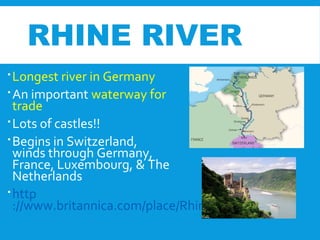
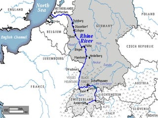
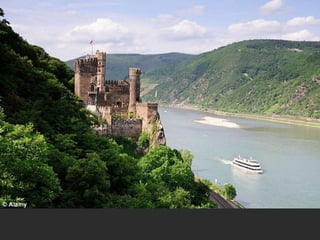
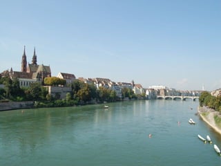
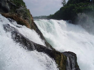
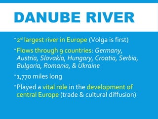
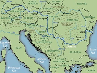
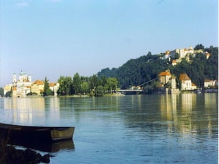
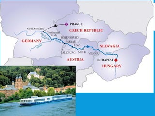
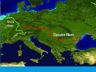
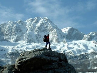
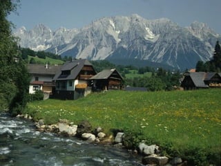
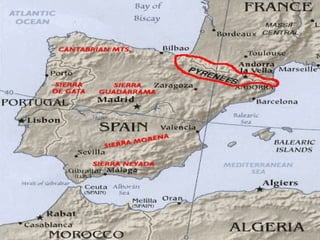
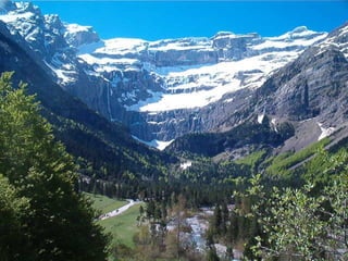
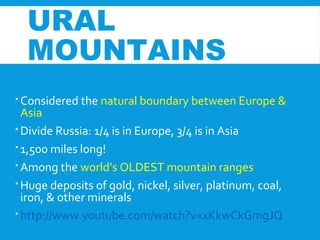
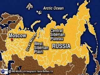
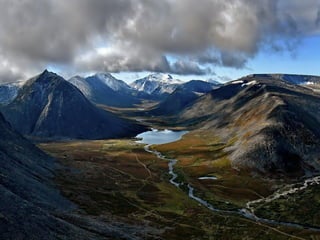
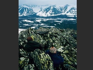
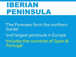
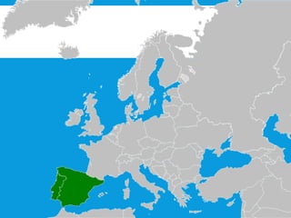
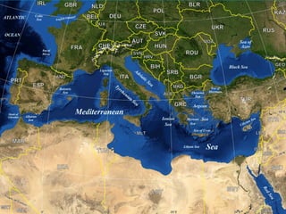
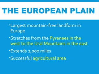
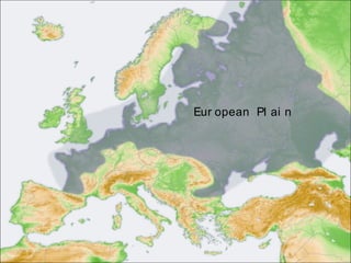
1. The document discusses several important physical features of Europe, including major rivers like the Rhine and Danube, mountain ranges like the Alps and Pyrenees, seas/channels like the Mediterranean and English Channel, and peninsulas like the Iberian and Scandinavian peninsulas.
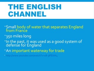
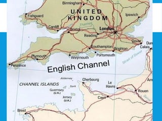
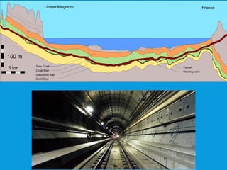
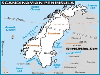
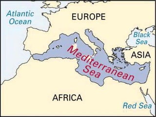
2. It provides details about the locations and characteristics of each physical feature, such as the countries they flow through/are located in, their lengths, roles in history and trade, natural resources, and YouTube video links for some.
3. The student is instructed to answer a question on page 5 of whether rivers or mountains have a greater impact on Europe, and to explain their answer. They should also update their table


![Ukrussiagermanyanditalyquiz2 100902222423-phpapp01[1]](https://cdn.slidesharecdn.com/ss_thumbnails/ukrussiagermanyanditalyquiz2-100902222423-phpapp011-110901221742-phpapp02-thumbnail.jpg?width=640&height=640&fit=bounds)


