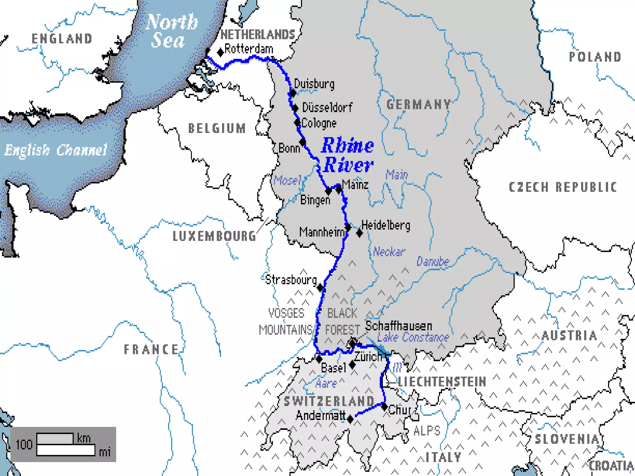
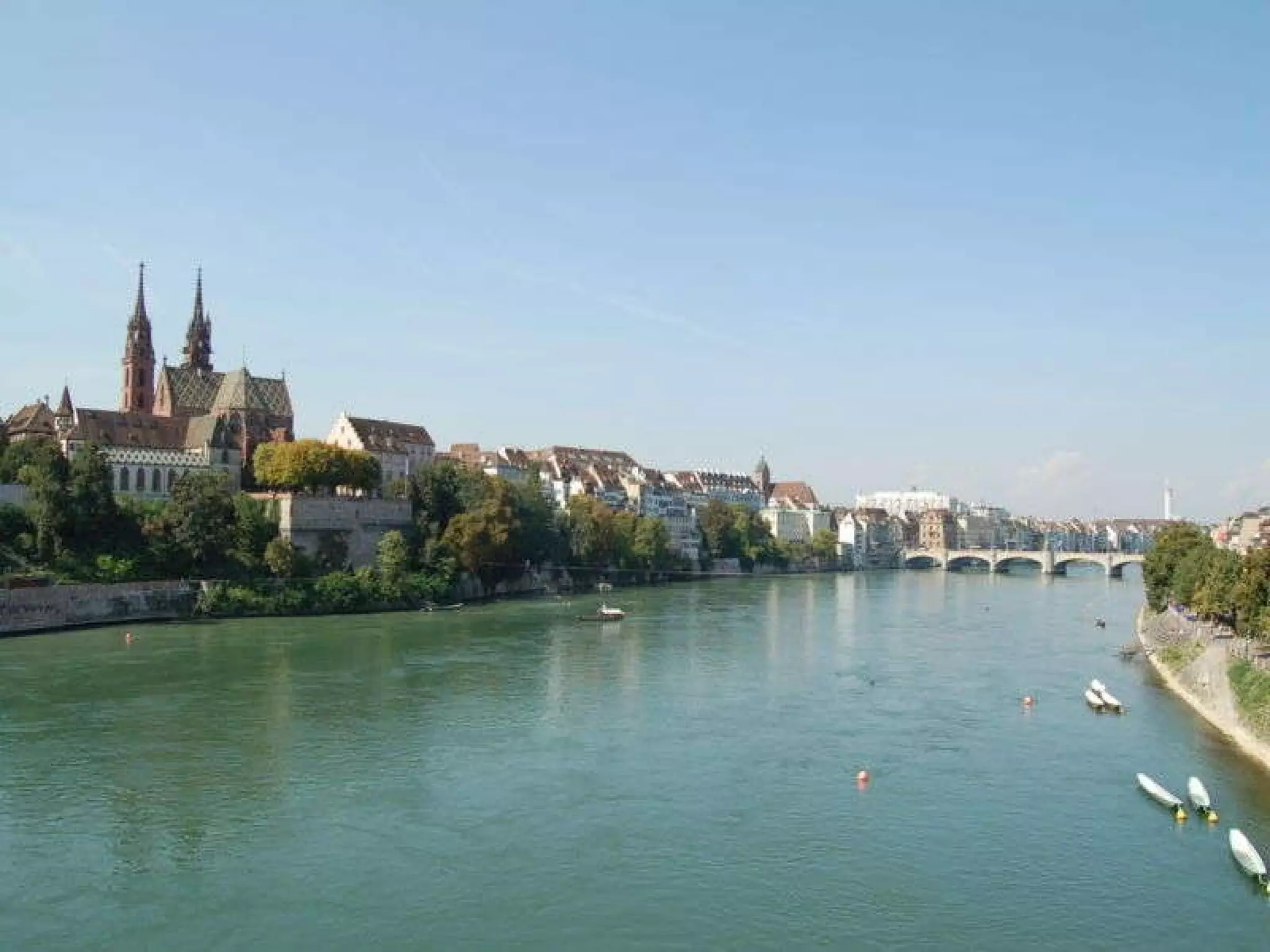
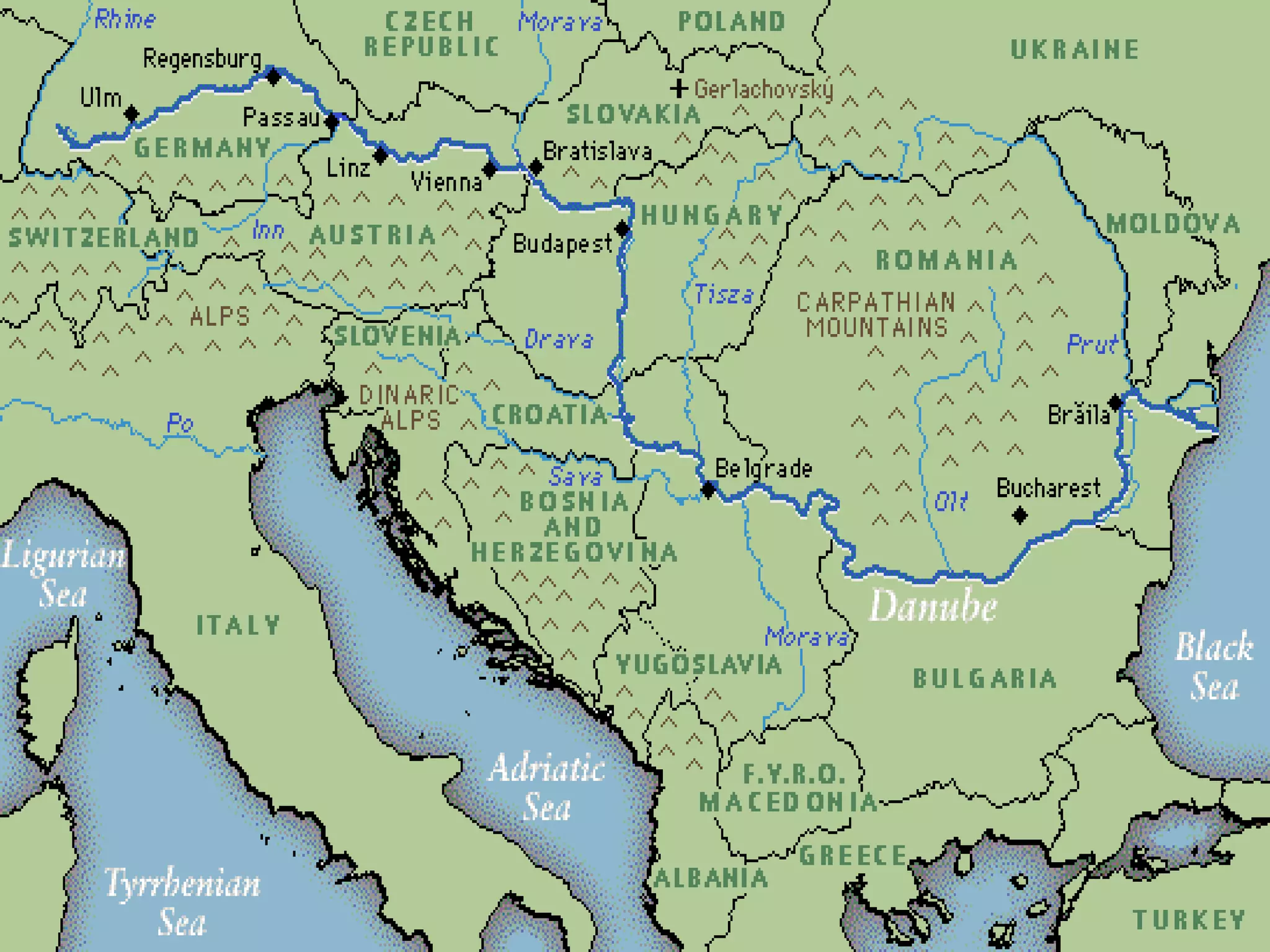
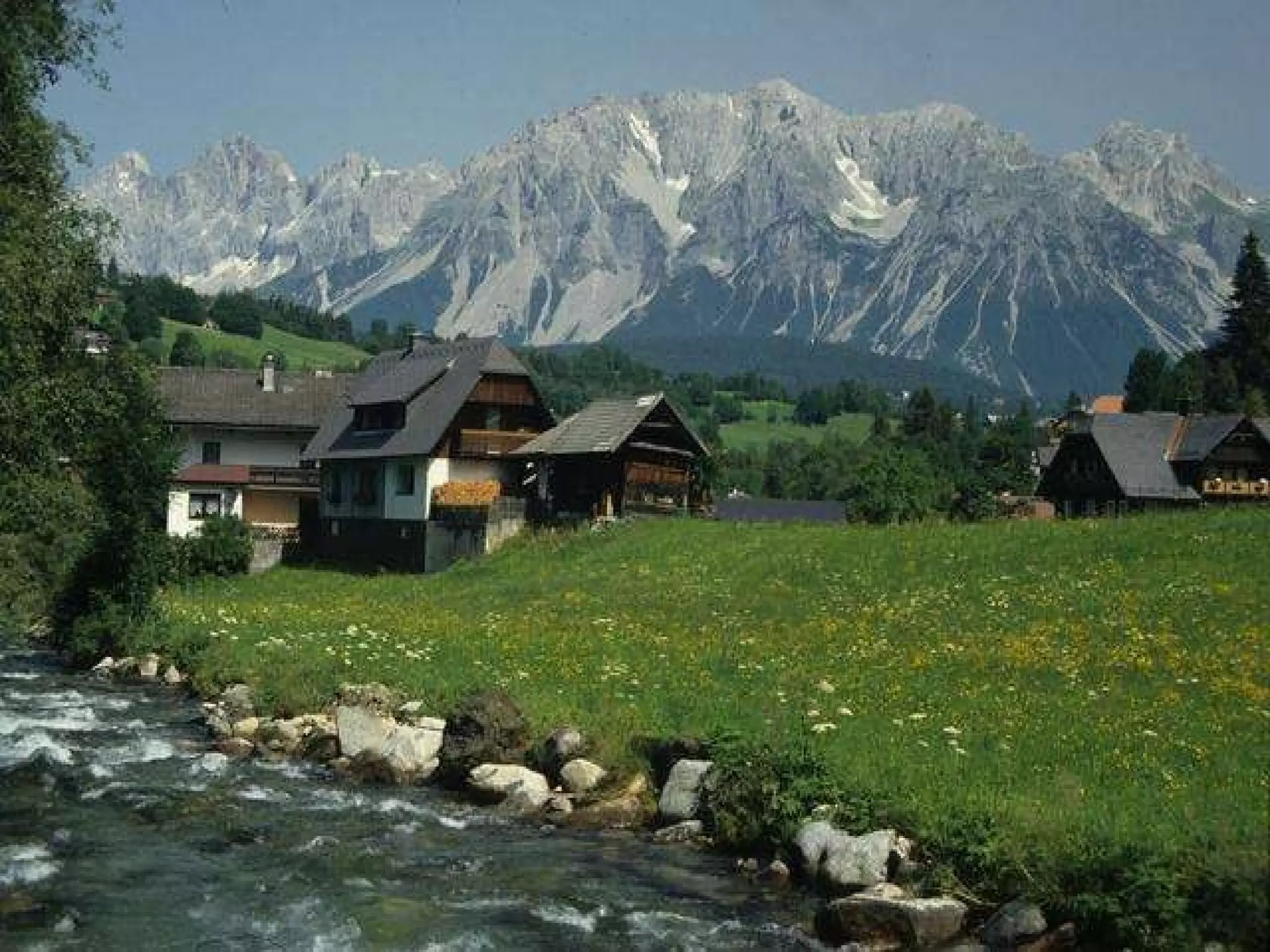
Physical Features of Europe
Rhine River Longest river in Germany An important waterway for trade Begins in Switzerland, winds through Germany, France, Luxembourg, & The Netherlands


Danube River 2 nd  largest river in Europe (Volga is first) Flows through 9 countries: Germany, Austria, Slovakia, Hungary, Croatia, Serbia, Bulgaria, Romania, & Ukraine 1,770 miles long Played a vital role in the development of central Europe (trade & cultural diffusion)
 
 
The Alps  Located in Austria, France, Germany, Switzerland, Italy, Slovenia, & Liechtenstein Major tourist destination  Extend for almost 700 miles!


Pyrenees Mountains Form the natural border between France & Spain Extend for about 270 miles
 
 
Ural Mountains Considered the natural boundary between Europe & Asia Divide Russia: 1/4 is in Europe, 3/4 is in Asia 1,500 miles long! Among the world’s OLDEST mountain ranges Huge deposits of gold, nickel, silver, platinum, coal, iron, & other minerals


The English Channel Small body of water that separates England from France 350 miles long In the past, it was used as a good system of defense for England An important waterway for trade
 
 
Iberian Peninsula The Pyrenees form the northern border 2nd largest peninsula in Europe Includes the countries of Spain & Portugal
 
Scandinavian Peninsula Largest peninsula in Europe (1,150 miles long) Consists of Norway, Sweden, and the northern region of Finland Region is rich in timber, iron, & copper
 
Mediterranean Sea Important route for trade & cultural exchange Located between 3 continents (Europe, Africa, & Asia) Covers an area of 965,000 square miles Name means “in the middle of the earth” (surrounded by land)


The European Plain Largest mountain-free landform in Europe Stretches from the Pyrenees in the west to the Ural Mountains in the east Extends 2,000 miles Successful agricultural area
European Plain


Europe Physical Features

  • 1.
  • 2.
    Rhine River Longestriver in Germany An important waterway for trade Begins in Switzerland, winds through Germany, France, Luxembourg, & The Netherlands
  • 3.
  • 4.
  • 5.
  • 6.
    Danube River 2nd largest river in Europe (Volga is first) Flows through 9 countries: Germany, Austria, Slovakia, Hungary, Croatia, Serbia, Bulgaria, Romania, & Ukraine 1,770 miles long Played a vital role in the development of central Europe (trade & cultural diffusion)
  • 7.
  • 8.
  • 9.
    The Alps Located in Austria, France, Germany, Switzerland, Italy, Slovenia, & Liechtenstein Major tourist destination Extend for almost 700 miles!
  • 10.
  • 11.
  • 12.
  • 13.
    Pyrenees Mountains Formthe natural border between France & Spain Extend for about 270 miles
  • 14.
  • 15.
  • 16.
    Ural Mountains Consideredthe natural boundary between Europe & Asia Divide Russia: 1/4 is in Europe, 3/4 is in Asia 1,500 miles long! Among the world’s OLDEST mountain ranges Huge deposits of gold, nickel, silver, platinum, coal, iron, & other minerals
  • 17.
  • 18.
  • 19.
  • 20.
    The English ChannelSmall body of water that separates England from France 350 miles long In the past, it was used as a good system of defense for England An important waterway for trade
  • 21.
  • 22.
  • 23.
    Iberian Peninsula ThePyrenees form the northern border 2nd largest peninsula in Europe Includes the countries of Spain & Portugal
  • 24.
  • 25.
    Scandinavian Peninsula Largestpeninsula in Europe (1,150 miles long) Consists of Norway, Sweden, and the northern region of Finland Region is rich in timber, iron, & copper
  • 26.
  • 27.
    Mediterranean Sea Importantroute for trade & cultural exchange Located between 3 continents (Europe, Africa, & Asia) Covers an area of 965,000 square miles Name means “in the middle of the earth” (surrounded by land)
  • 28.
  • 29.
  • 30.
  • 31.
    The European PlainLargest mountain-free landform in Europe Stretches from the Pyrenees in the west to the Ural Mountains in the east Extends 2,000 miles Successful agricultural area
  • 32.
  • 33.
  • 34.