Downloaded 68 times
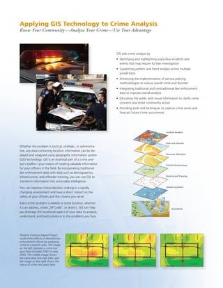


GIS aids crime analysis by identifying patterns and trends, supporting intelligence-led policing strategies, and integrating diverse data sources. It enhances crime analysis by highlighting suspicious incidents, supporting cross-jurisdictional pattern analysis, and educating the public. GIS provides tools to capture crime series, forecast crime, and optimize resource allocation to reduce crime and disorder.