Downloaded 104 times


![UMN MapServer The DATA parameter is used to specify the data used to draw the map. The form of DATA is “[geometry_column] from [table_name|sql_subquery] using unique [unique_key] using srid=[spatial_reference_id]”. The “using unique” and “using srid=” clauses are optional, but using them improves performance.](https://image.slidesharecdn.com/concectpostgis-100501211733-phpapp01/75/Concect-postgis-12-2048.jpg)
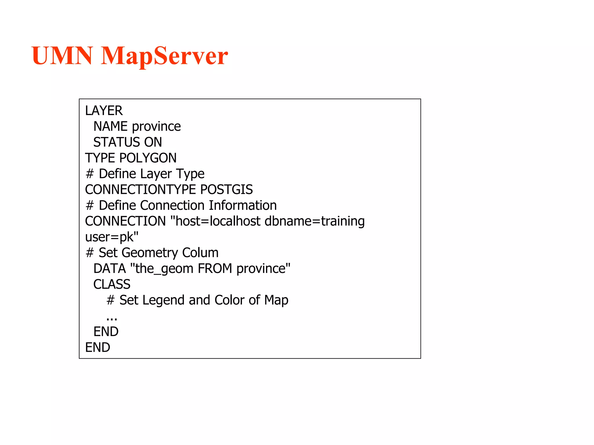

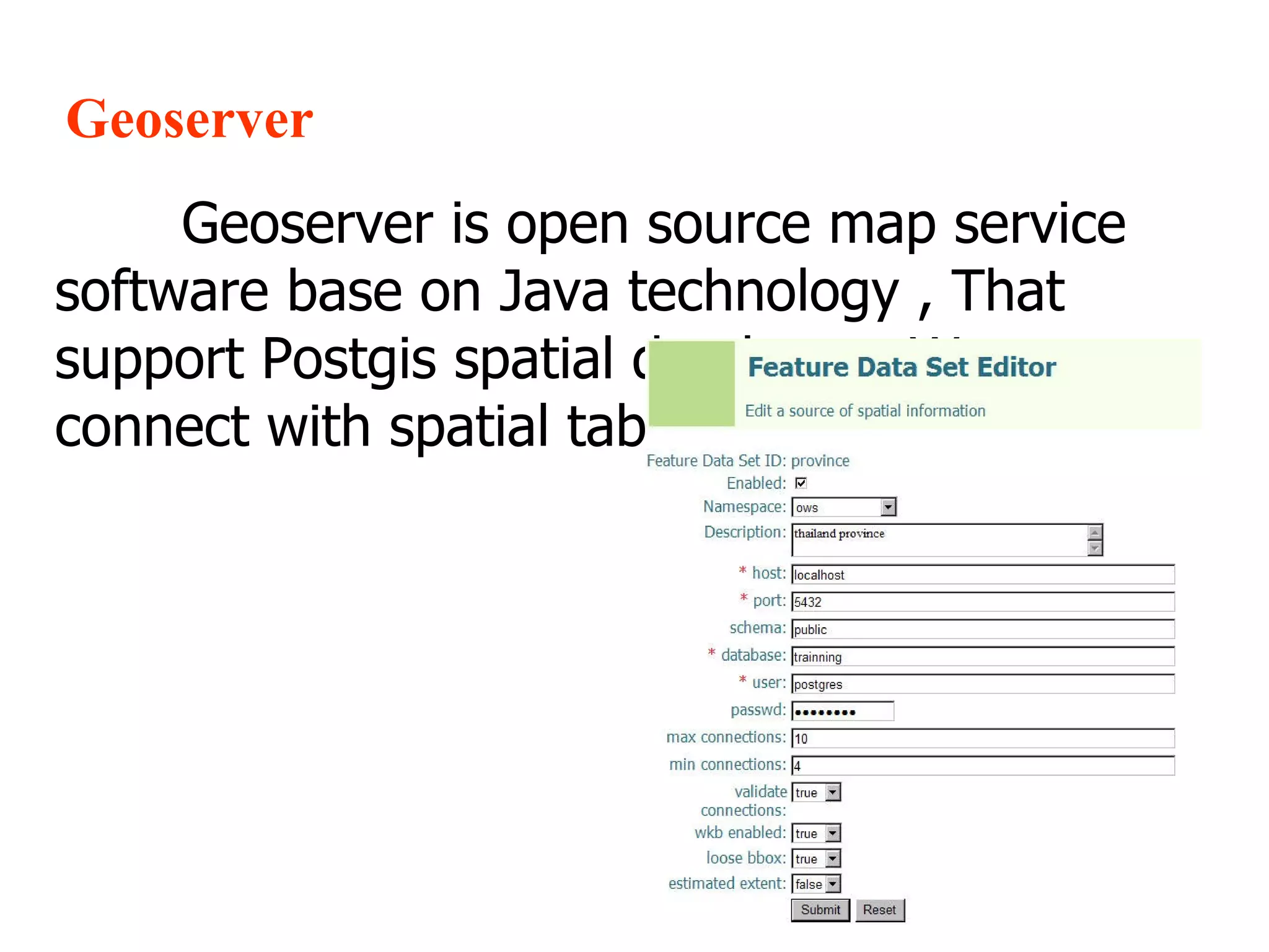

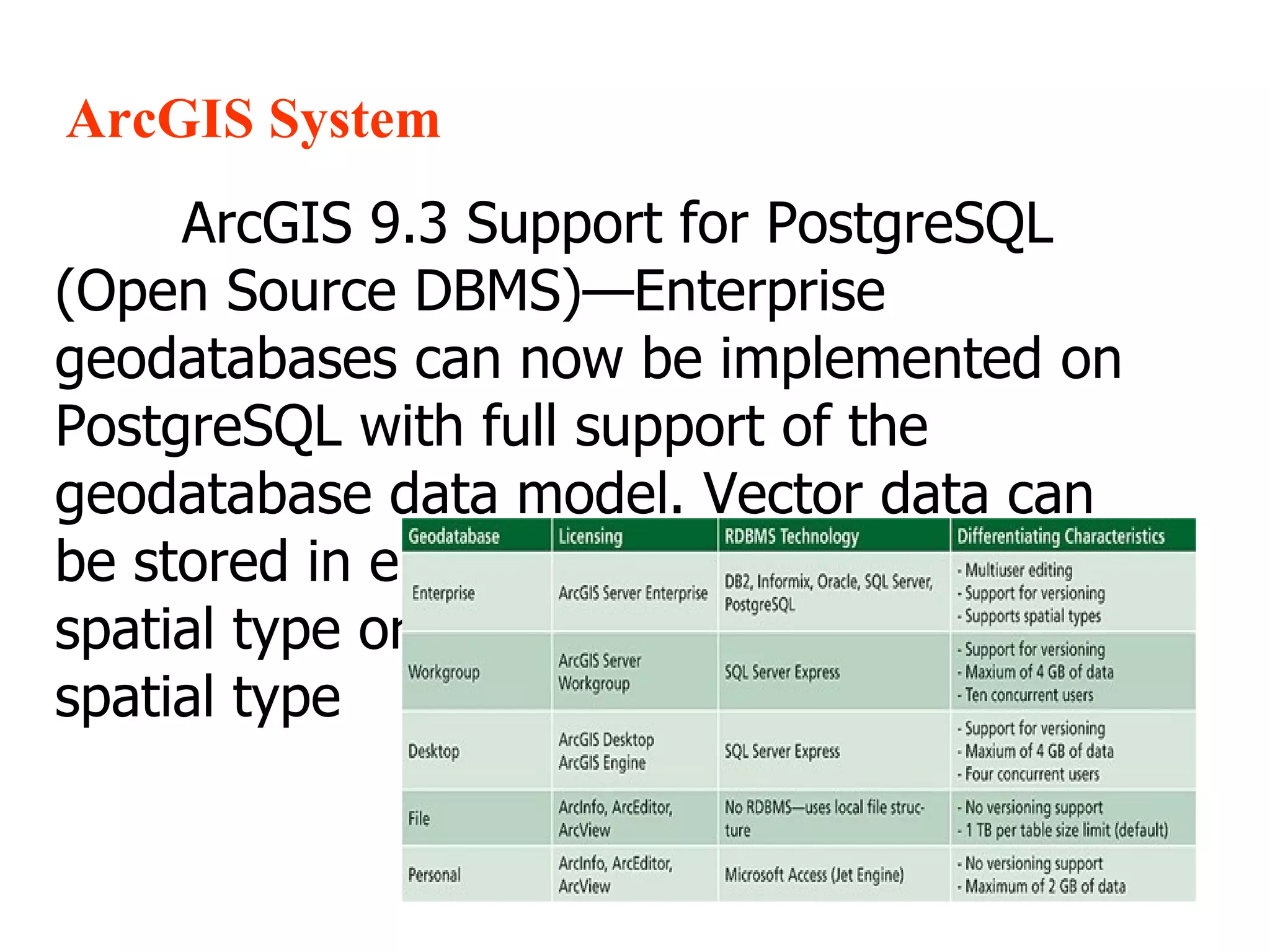
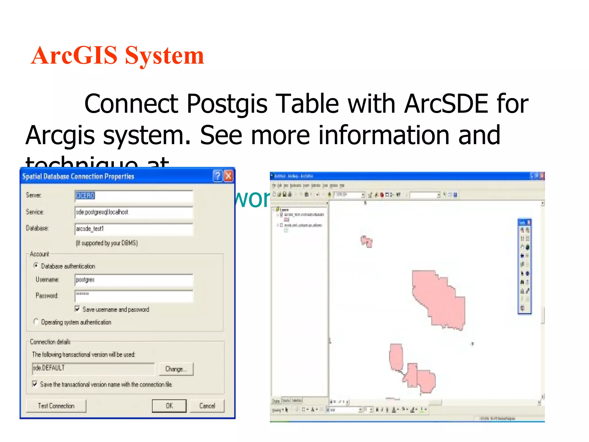
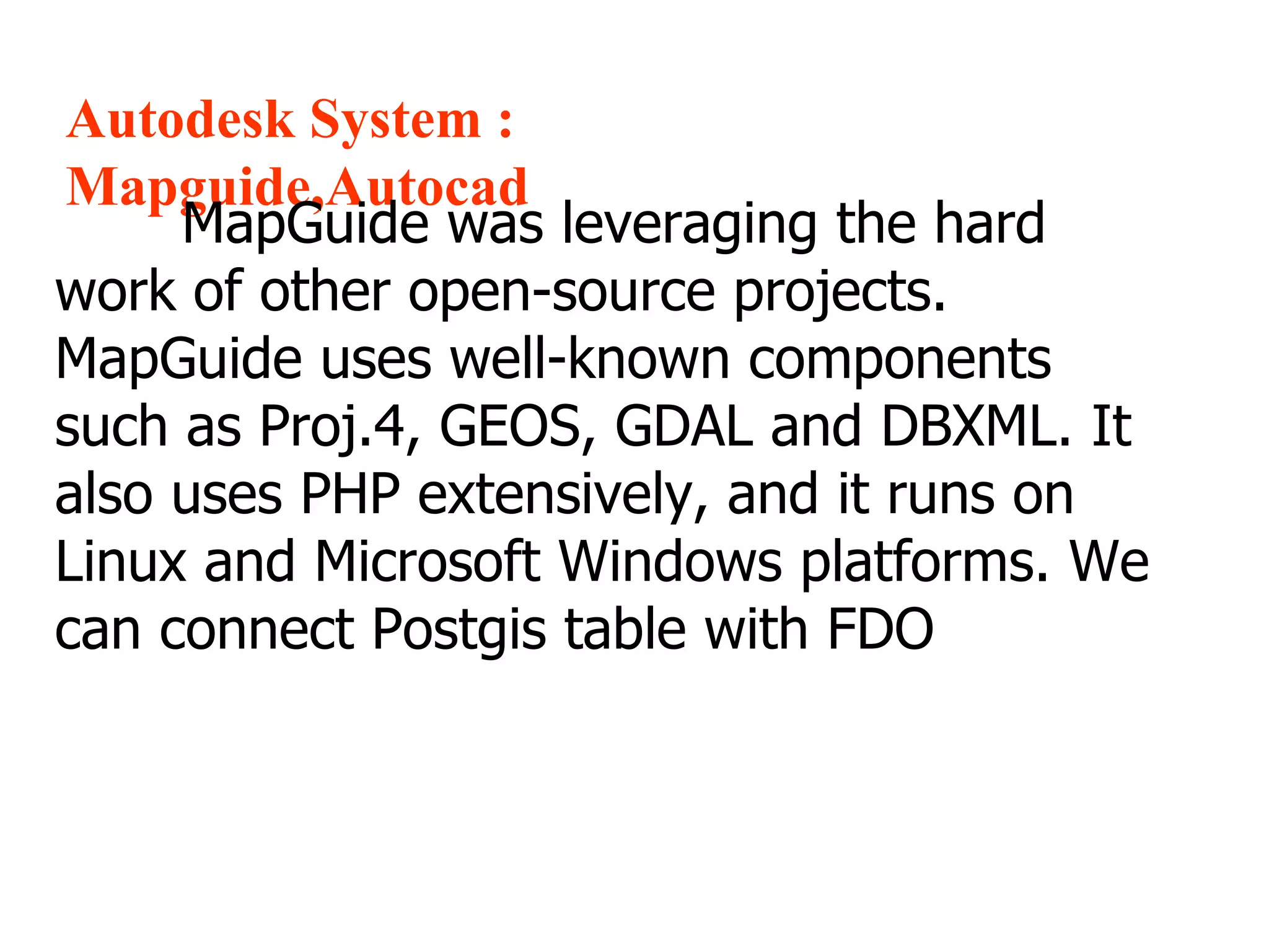
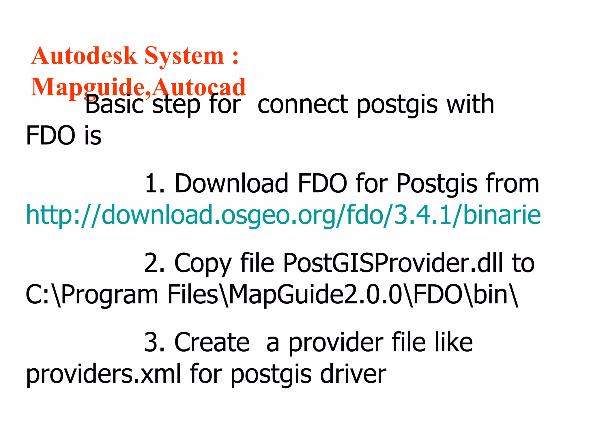
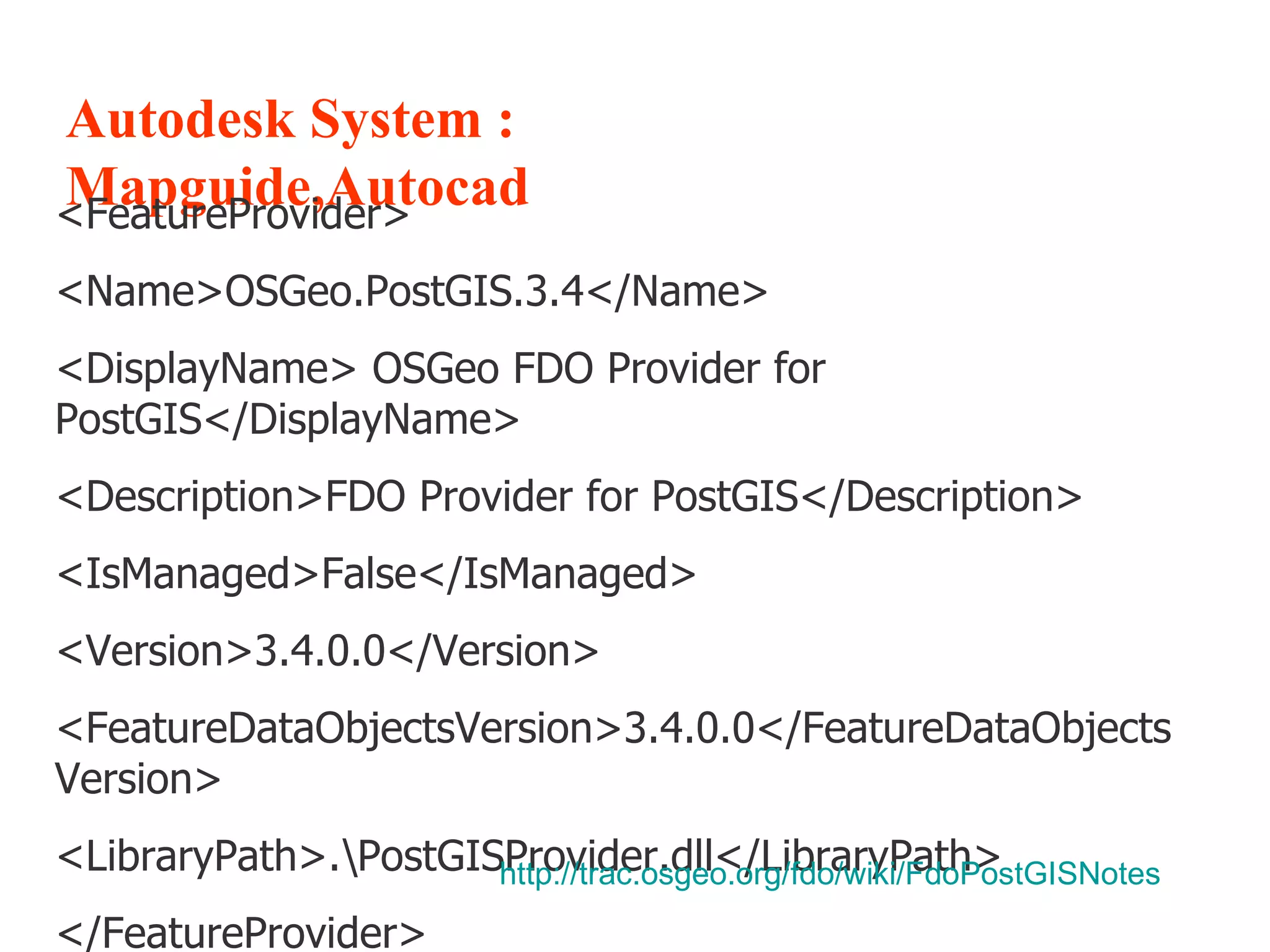
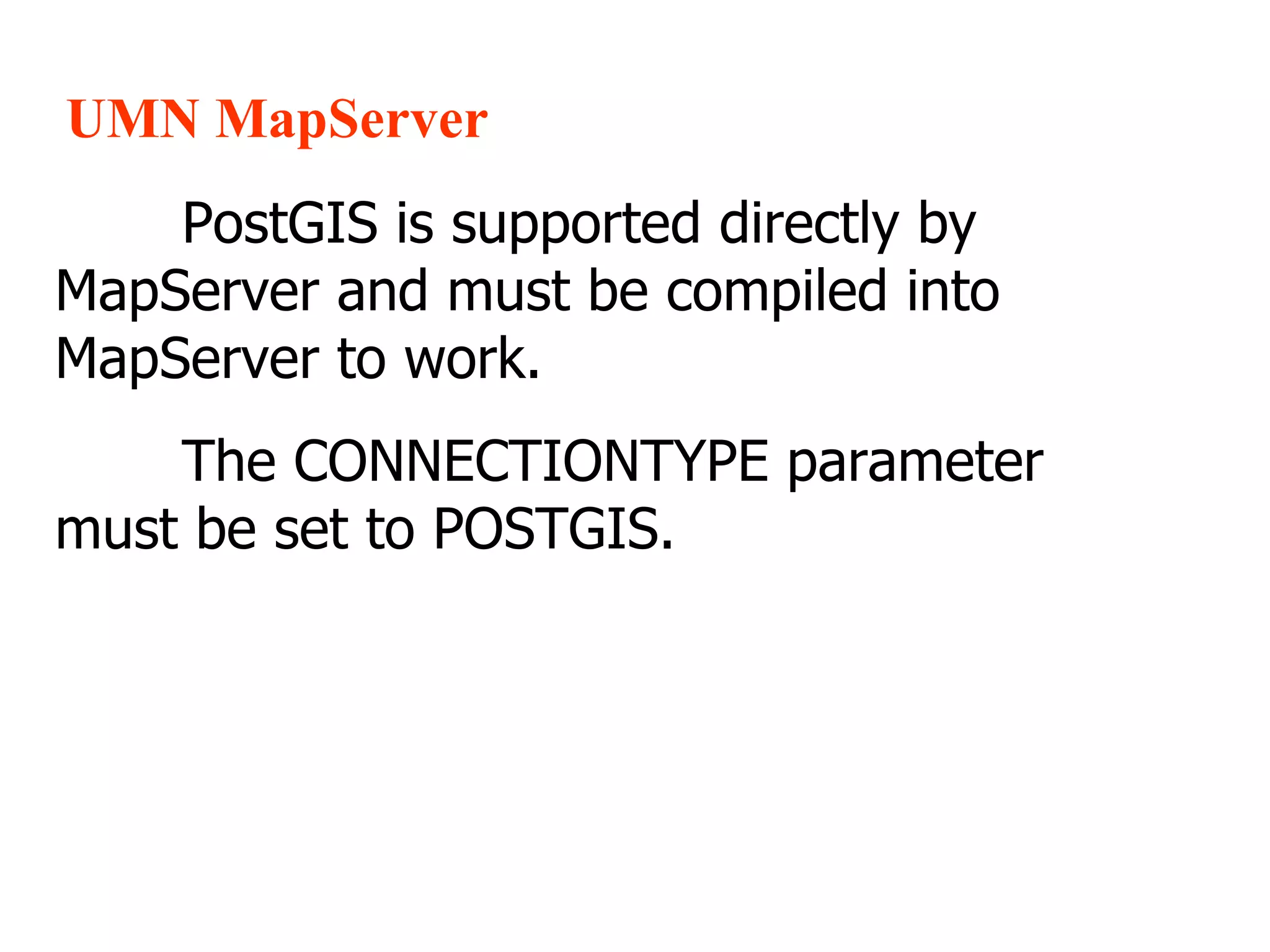
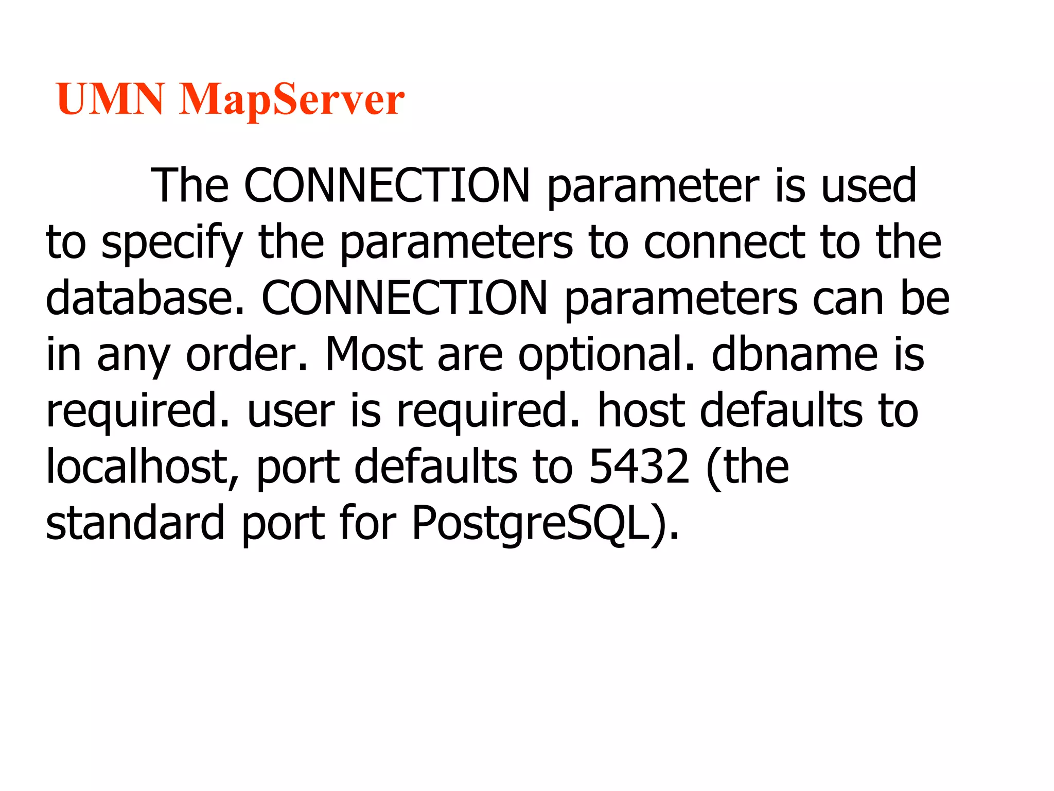
1. The document discusses how to connect various GIS software including ESRI ArcGIS, MapGuide, MapServer, and GeoServer to PostGIS spatial databases. 2. Basic steps for connecting MapGuide to PostGIS include downloading the FDO provider, copying files, and creating a provider configuration file. 3. For MapServer, PostGIS support must be compiled in and the CONNECTIONTYPE parameter set to POSTGIS, with CONNECTION used to specify database connection details and DATA to define layers from PostGIS tables. 4. GeoServer supports connecting directly to PostGIS spatial tables.


![[Harvard CS264] 08b - MapReduce and Hadoop (Zak Stone, Harvard)](https://cdn.slidesharecdn.com/ss_thumbnails/cs264hadooplecture2011-110322172329-phpapp02-thumbnail.jpg?width=640&height=640&fit=bounds)