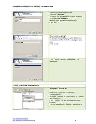
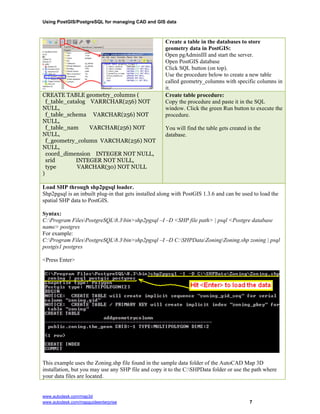
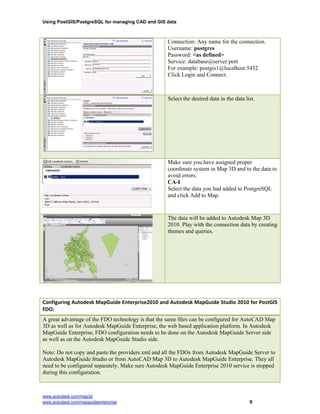
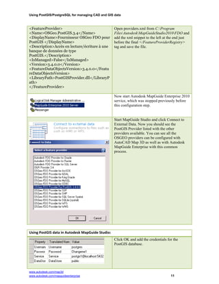
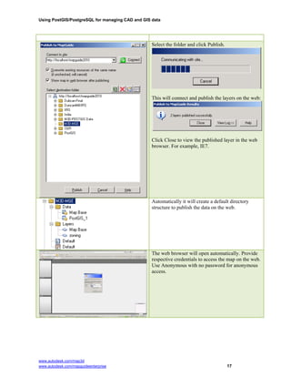
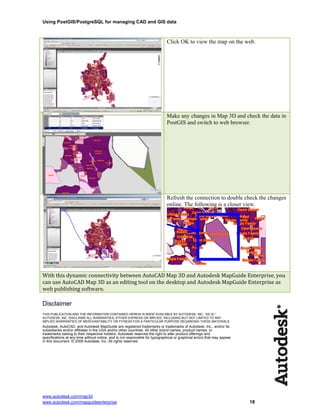
This document describes how to configure AutoCAD Map 3D and Autodesk MapGuide Enterprise to connect to and use spatial data stored in a PostGIS/PostgreSQL database. It provides steps for installing PostGIS and PostgreSQL, loading shapefile data into PostGIS, and configuring the FDO provider for each application. It also describes using the spatial data from PostGIS as layers in AutoCAD Map 3D and MapGuide Studio projects, and publishing MapGuide projects with PostGIS layers to MapGuide Enterprise.