Download as PDF, PPTX

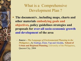
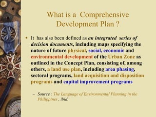
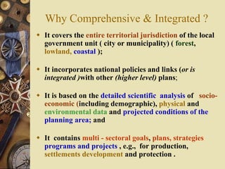
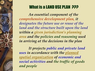
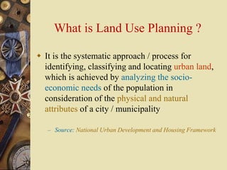
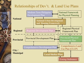


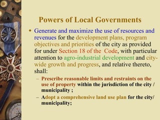

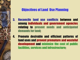
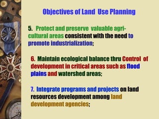
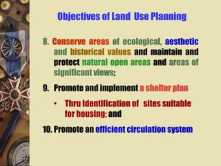
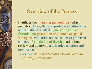


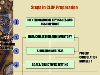
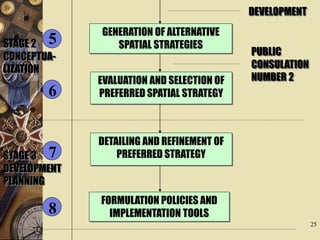
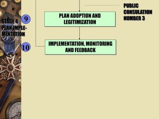
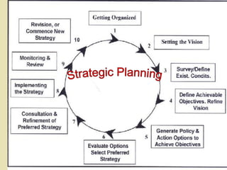

Comprehensive planning is an essential framework for housing and urban development. It involves creating a comprehensive development plan that covers the entire local jurisdiction, incorporates national policies, and is based on analysis of socioeconomic, physical and environmental data. It contains multi-sectoral goals, plans and projects for production, settlements development and protection. A key component is the land use plan, which designates the future use of public and private land based on the planned organization of activities and transportation. The objectives of land use planning include promoting efficient land use, influencing decisions, reconciling land use conflicts, and protecting agricultural and environmentally sensitive areas. The process involves data collection, analysis, goal setting, generating alternative strategies, and adopting, implementing and monitoring


