Download to read offline

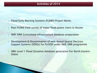
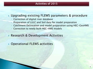
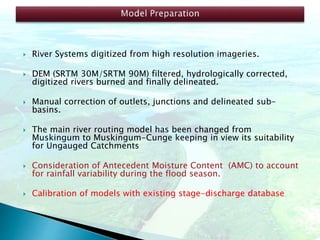
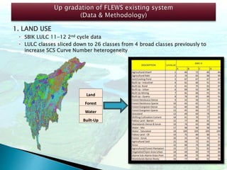

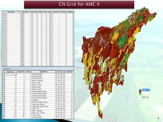
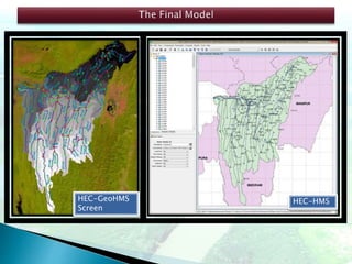
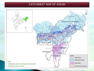
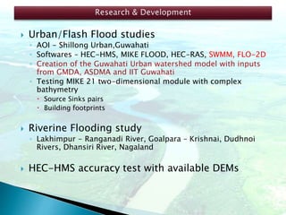
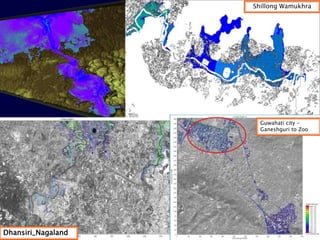
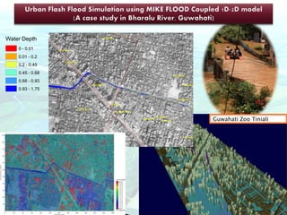
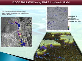
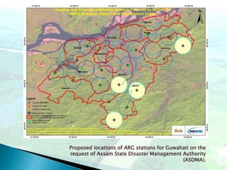
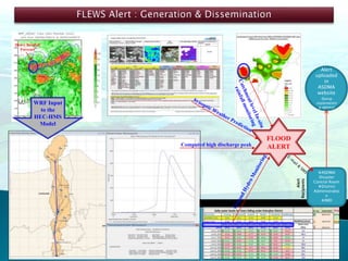
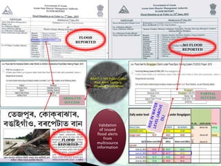
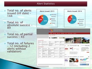
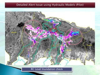
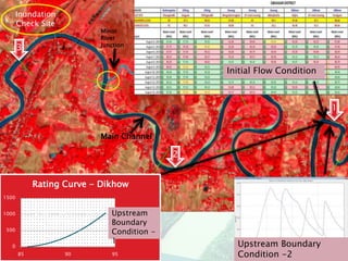
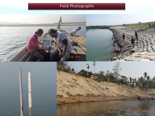


The document outlines the hydrological research and activities conducted by Amaljit Bharali, a research scientist at NER-DRR, focusing on flood early warning systems, hydrological modeling, and watershed management. Key projects include the development of flood zonation databases, urban flood modeling in Guwahati, and integration of advanced hydrological models to enhance flood forecasting. The document also details the success rates of flood alerts issued and the plans for future automation and modeling improvements.