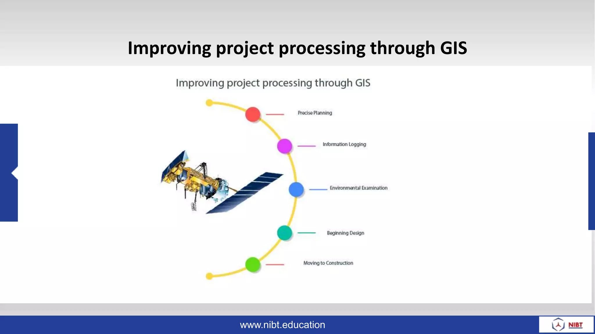
GIS provides significant benefits for civil engineering projects by allowing engineers to collect, analyze, and visualize large amounts of spatial data from various sources. GIS facilitates efficient and precise planning, environmental examination, design, construction, and project management. It enables civil engineers to perform tasks like site selection, transportation analysis, pollution analysis, and more by integrating data streams and conducting spatial analysis. Adopting GIS technology improves project processing for civil engineering companies by supporting activities from initial planning through final construction.