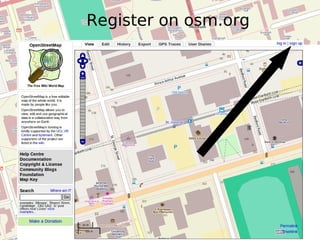
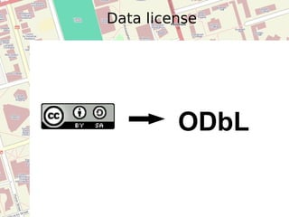
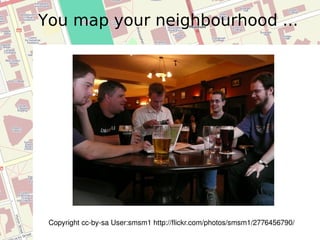
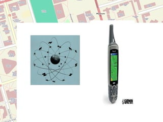
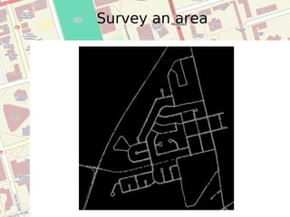
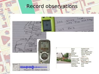
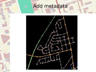
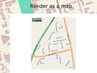
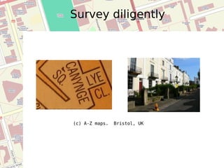
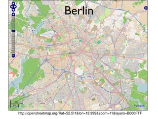
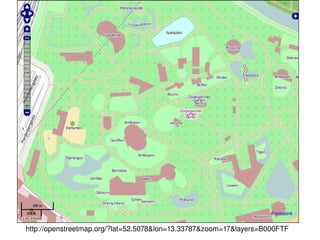
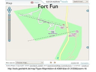
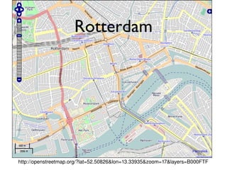
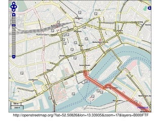
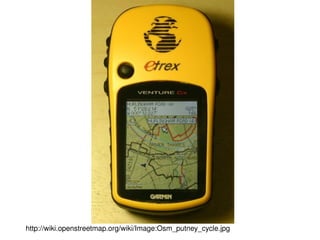
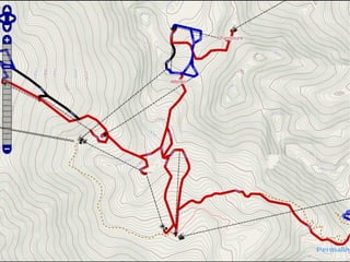
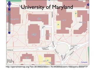
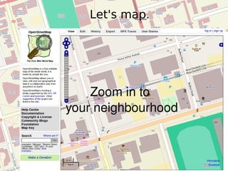
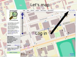
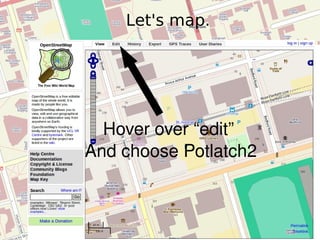
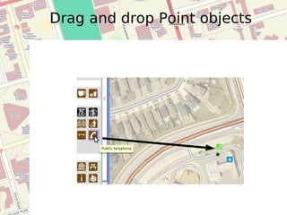
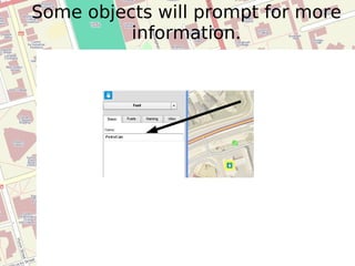
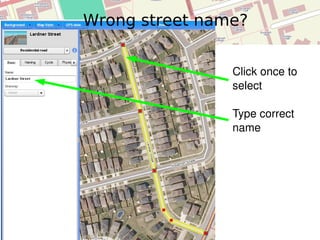
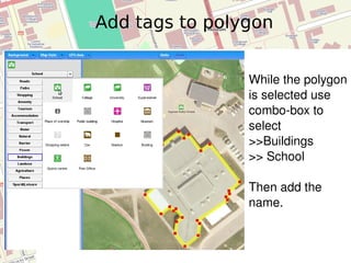
Introduction to OSM | Presentation cc-by Richard Weait http://weait.com Richard Weait |   OSM Map Data cc-by-sa  http://OpenStreetMap.org/
Register on osm.org
OpenStreetMap is  ...
Data license ODbL
OpenStreetMap is ... "OpenStreetMap is a project aimed squarely at creating and providing free geographic data such as street maps to anyone who wants them."  -- www.openstreetmap.org
"The project was started because most maps you think of as free actually have legal or technical restrictions on their use, holding back people from using them in creative, productive or unexpected ways." -- www.openstreetmap.org OpenStreetMap is ...
 
Fairfax County Urban Rescue
Situation Room, World Bank, Haiti
CC-By Mathias Gawlista http://www.flickr.com/photos/76075259@N00/2096217675/ How do you play a violin?
How do I get to Carnegie Hall? http://www.flickr.com/photos/76345376@N00/255736904/  - CC-By
Pre-
You map your neighbourhood ... Copyright cc-by-sa User:smsm1 http://flickr.com/photos/smsm1/2776456790/
 
Survey an area
Record observations
Add metadata
Render as a map
Won't that take “Forever”? Show the video, Richard.
Survey diligently (c) A-Z maps.  Bristol, UK
http://openstreetmap.org/?lat=52.511&lon=13.399&zoom=11&layers=B000FTF Berlin
http://openstreetmap.org/?lat=52.5078&lon=13.33787&zoom=17&layers=B000FTF
http://tools.geofabrik.de/map/?type=Mapnik&lon=8.43681&lat=51.31206&zoom=16 Fort Fun
http://openstreetmap.org/?lat=52.50826&lon=13.33935&zoom=17&layers=B000FTF Rotterdam
http://openstreetmap.org/?lat=52.50826&lon=13.33935&zoom=17&layers=B000FTF
http://wiki.openstreetmap.org/wiki/Image:Osm_putney_cycle.jpg
OpenCycleMap.org Commendation Award 2008
 
University of Maryland http://openstreetmap.org/?lat=38.988223&lon=-76.940895&zoom=18&layers=B000FTF
UMD - TerpNav http://seamster.cs.umd.edu:8090/map/index.html#
 
Resources richard @ weait.com @rweait http://wiki.openstreetmap.org/  irc://irc.oftc.net  #osm  Mailing lists
Introduction to OSM | Presentation cc-by Richard Weait http://weait.com Richard Weait |   OSM Map Data cc-by-sa  http://OpenStreetMap.org/
Let's map. Zoom in to  your neighbourhood
Let's map. Log in
Let's map. Hover over “edit”  And choose Potlatch2
Drag and drop Point objects
Some objects will prompt for more information.
Wrong street name?  Click once to select Type correct name
Rename part of road? Click once to select way Click node to select Click scissors to split
After splitting, rename Select way to rename Rename
Polygons Trace around building outline One click at a time
Close the polygon Close the polygon by clicking on the first node again.  Look for the “dot” tell tale.
Add tags to polygon While the polygon is selected use combo-box to select  >>Buildings  >> School Then add the name.
What are things called? Some terms are very British. wiki.osm.org/wiki/Map_Features

Introduction To OpenStreetMap - CrisisCamp Toronto