Download to read offline
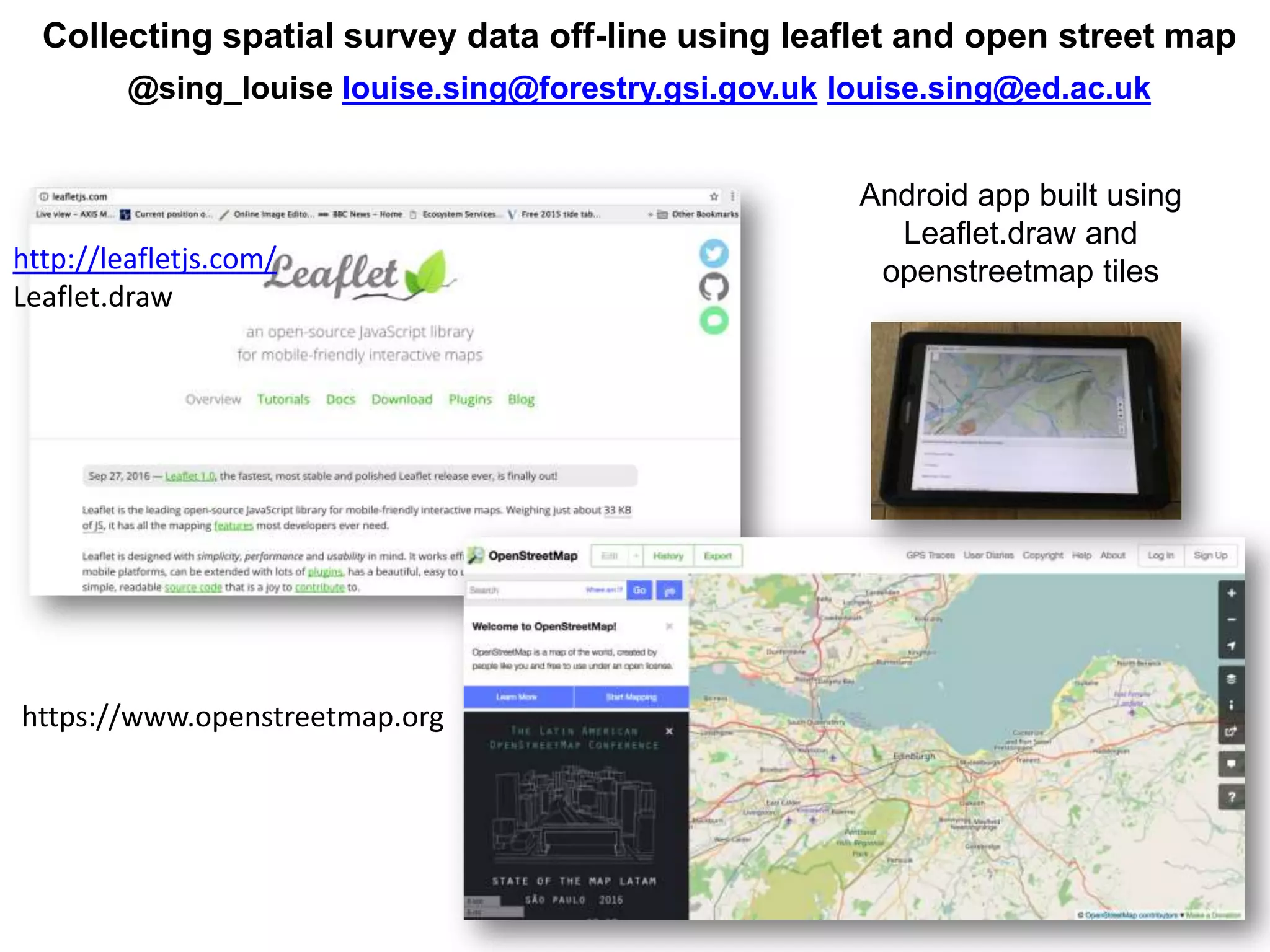
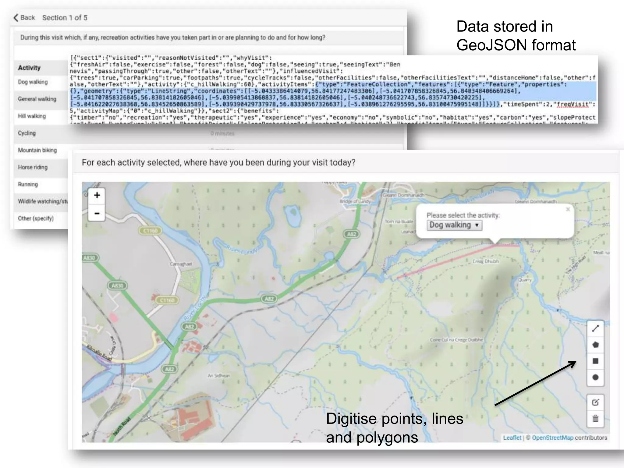

The document discusses the process of collecting spatial survey data offline through the use of Leaflet and OpenStreetMap. It details the Android app developed with Leaflet.Draw, allowing users to digitize geographical features such as points, lines, and polygons. Additionally, the collected data is stored in GeoJSON format.