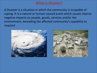
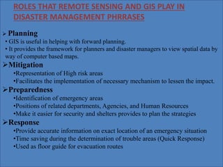
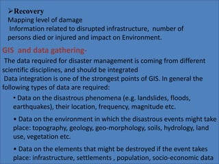
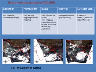
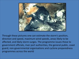
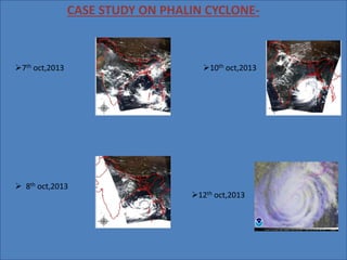
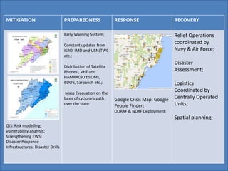
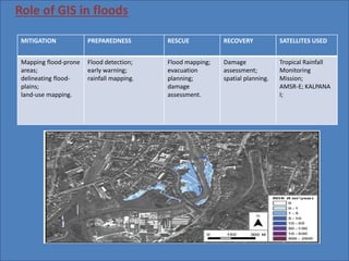
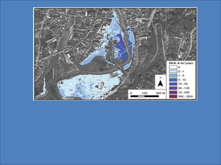
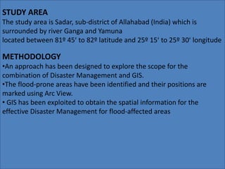
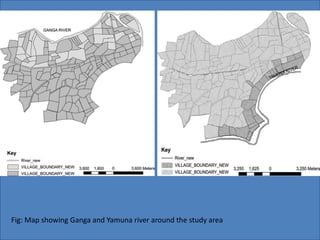
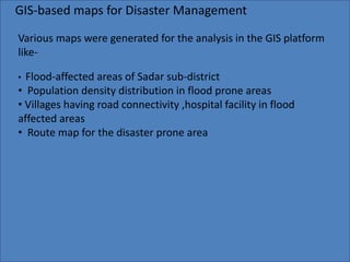
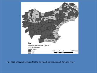
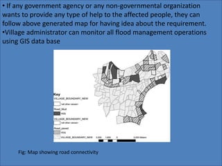
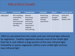
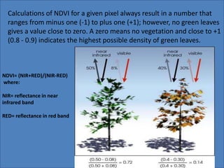
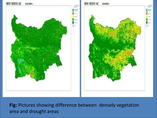
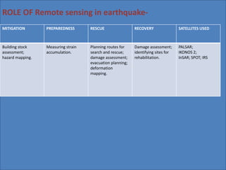
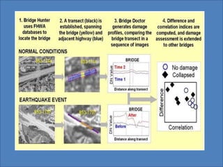
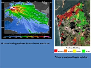
The document discusses the roles of remote sensing and GIS in disaster management. It provides definitions of disaster and disaster management. GIS and remote sensing help in all phases of disaster management including planning, mitigation, preparedness, response and recovery. Specific examples are given of how they assist with cyclones, floods and droughts. A case study is summarized showing how GIS was used to generate maps to help manage flooding in a district in India.