Downloaded 544 times


This document discusses aerial mapping cameras used for remote sensing. It covers topics like angular coverage of different camera types, the remote sensing process, and center sensors. Key details include that aerial mapping cameras can have wide or narrow fields of view, depending on the camera lens, and remote sensing involves capturing aerial images then analyzing them to gather information about the area photographed.
No content available in this slide.
No content available in this slide.
No content available in this slide.
No content available in this slide.
No content available in this slide.
No content available in this slide.
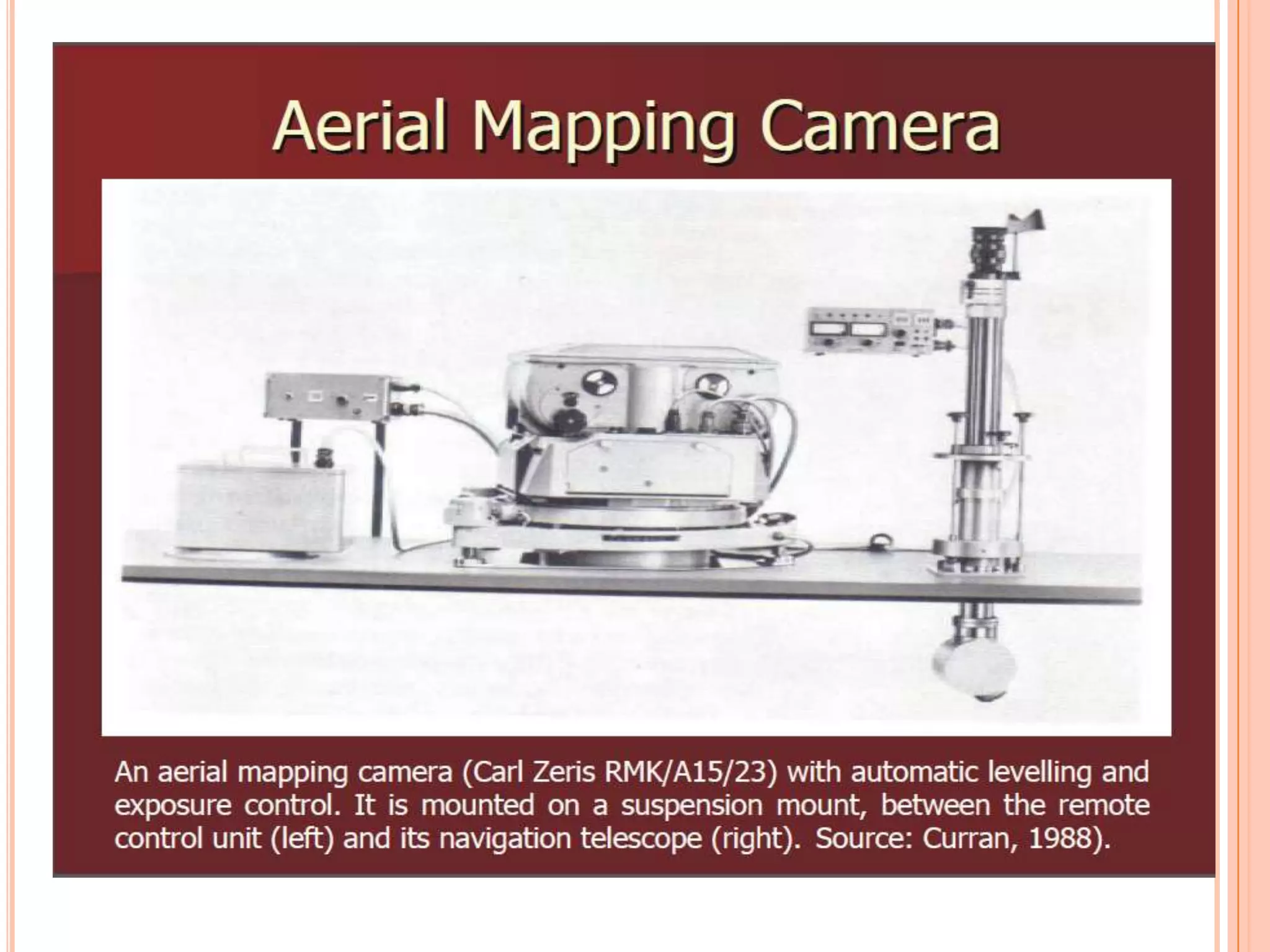
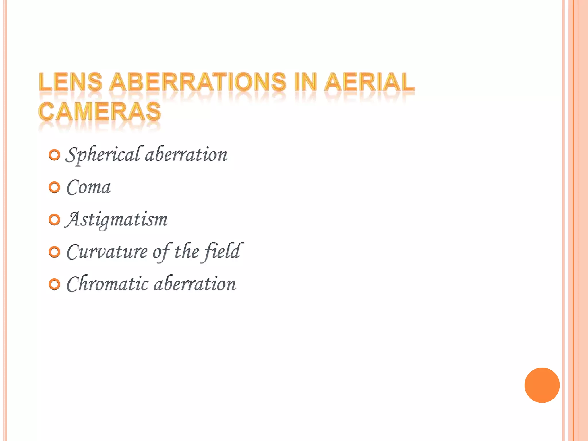
Covers various details pertaining to aerial mapping cameras.
No content available in this slide.
No content available in this slide.
No content available in this slide.
No content available in this slide.
Discussions on angular coverage related to spatial data.
No content available in this slide.
No content available in this slide.
No content available in this slide.
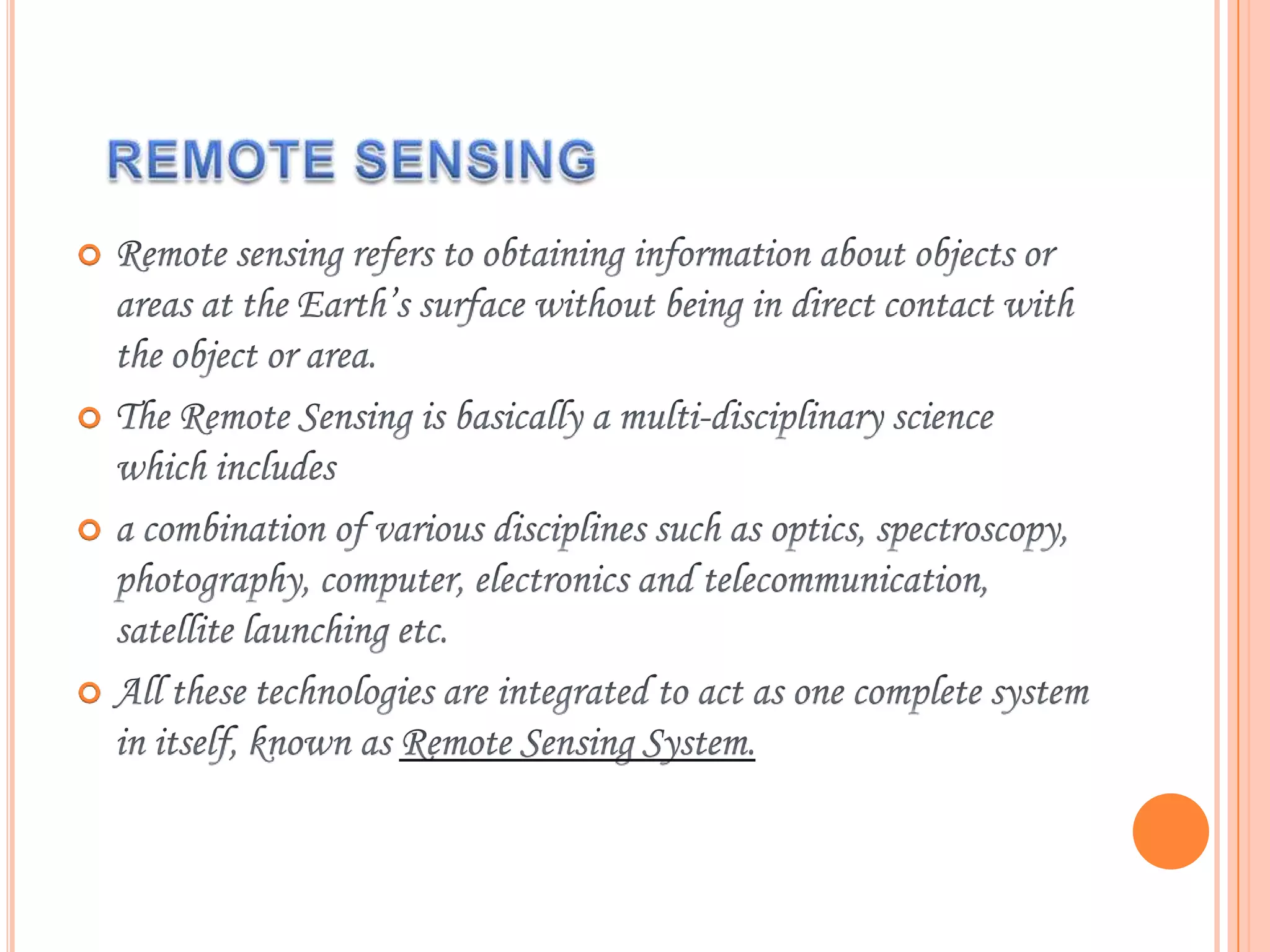
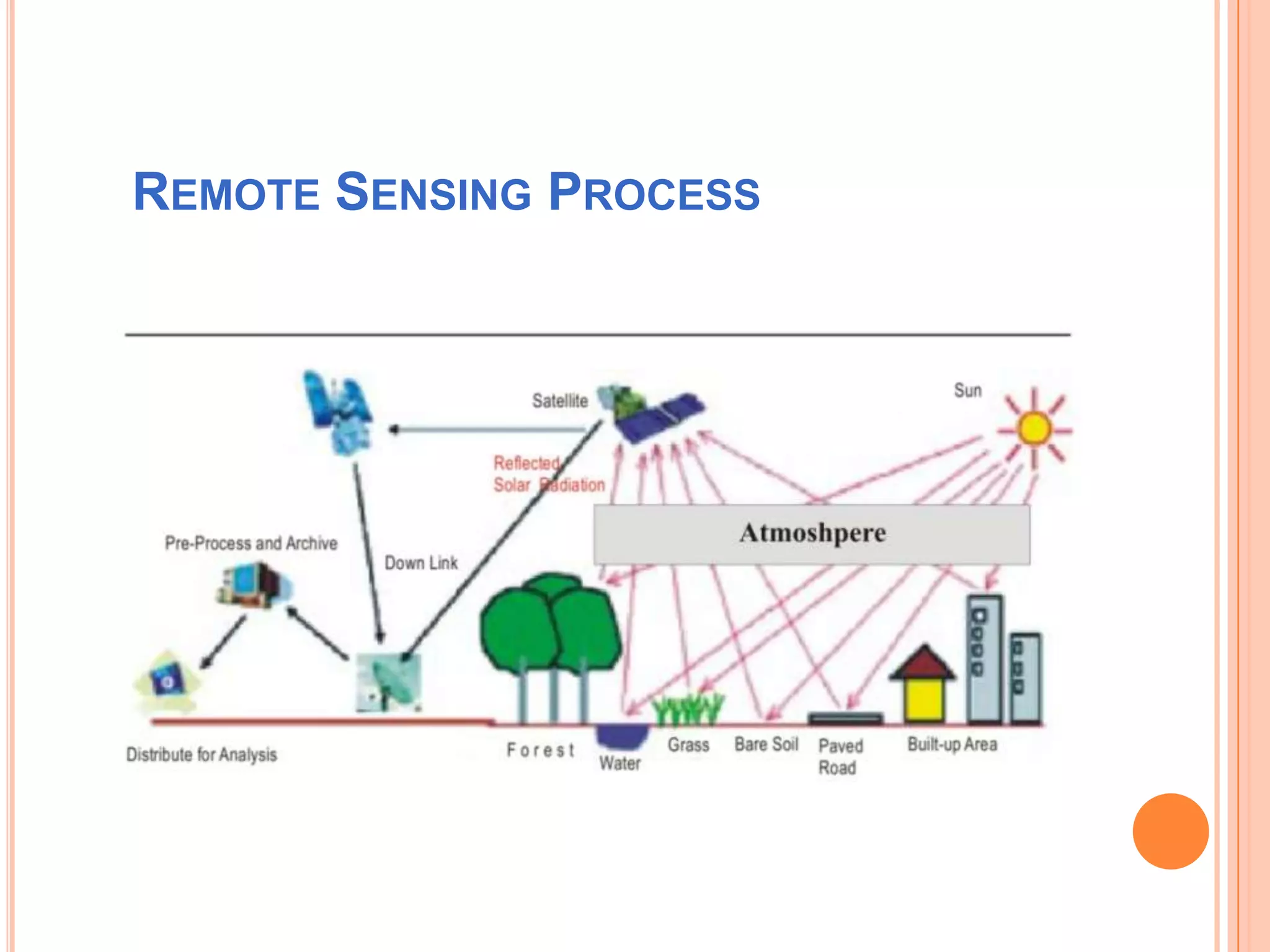
Introduction to the remote sensing process.
No content available in these slides.
No content available in these slides.
Listing of steps or points in an ongoing process.
Listing of steps or points in an ongoing process.


