Downloaded 34 times


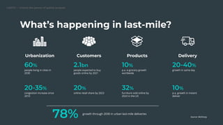
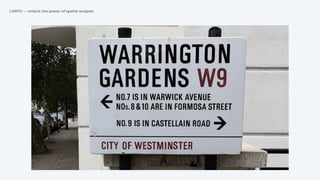
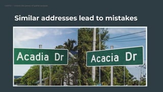
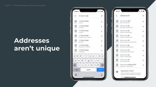
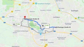
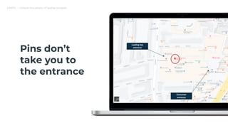

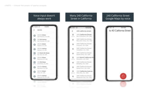

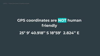
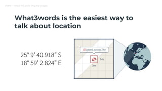
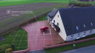
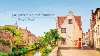

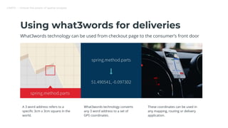
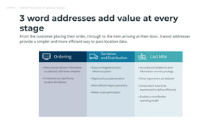
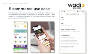
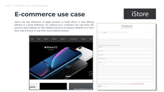
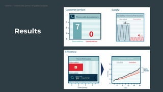
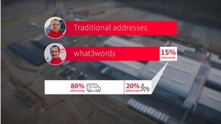
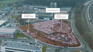
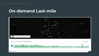
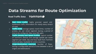
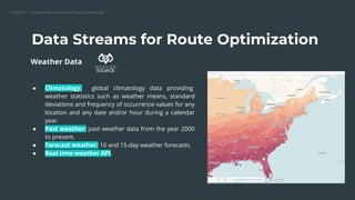

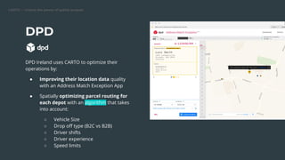
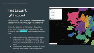
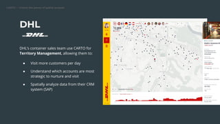
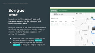
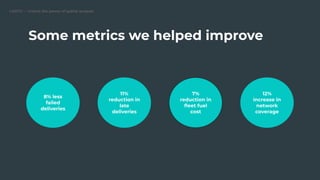
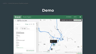


The document discusses how geospatial technologies like what3words and CARTO can help optimize last-mile logistics and delivery. what3words assigns a unique 3-word address to every 3m x 3m area in the world to simplify addressing. CARTO provides spatial data and analytics to optimize routing and delivery. Examples are given of companies using these technologies together to improve delivery by integrating 3-word addresses, optimizing routes using real-time traffic and weather data, and analyzing spatial data from CRM systems. This can lead to improvements like reduced costs, increased coverage, and fewer failed or late deliveries.