
Download as PDF, PPTX

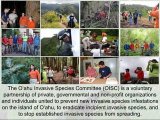
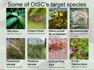
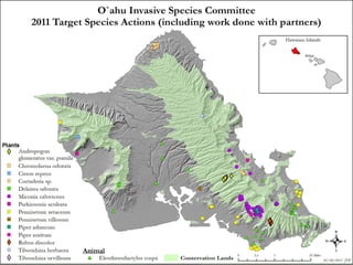
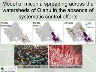
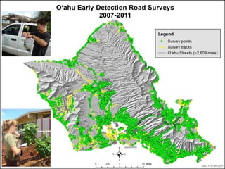
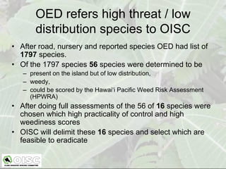
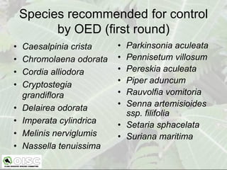
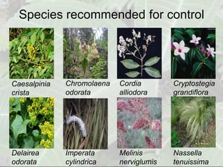
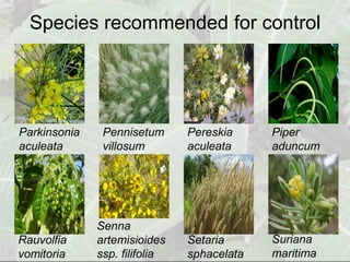
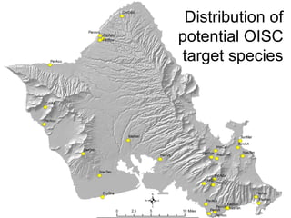
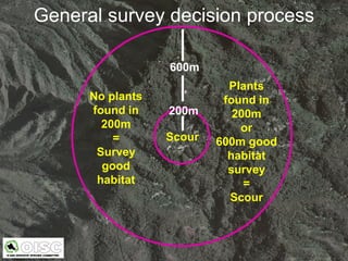
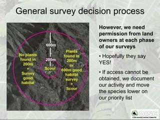
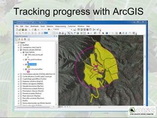
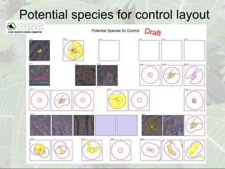
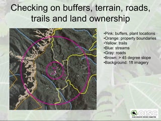
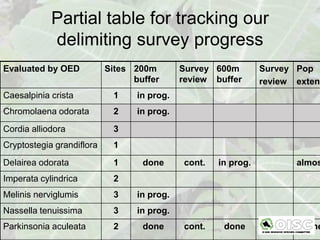
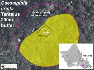
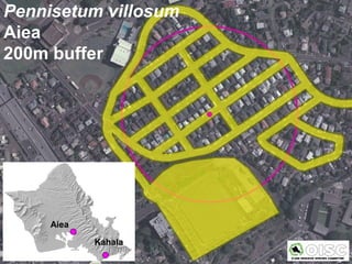
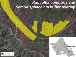
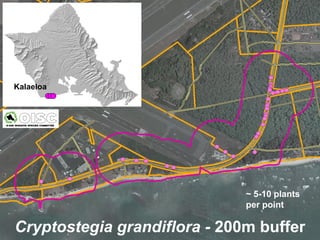
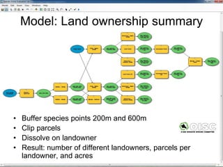

The document discusses how the O'ahu Invasive Species Committee (OISC) uses ArcGIS to prioritize control of invasive plant species on O'ahu. OISC works to prevent, eradicate, and stop the spread of invasive species. It evaluates species recommended by the state using risk assessments and delimits their locations using surveys within 200m and 600m buffers in ArcGIS. This allows OISC to track survey progress, check for barriers to control, and summarize land ownership to obtain access and focus eradication efforts. Using ArcGIS throughout the process helps prevent new invasive species from establishing like miconia and supports early detection and control.


