Download to read offline
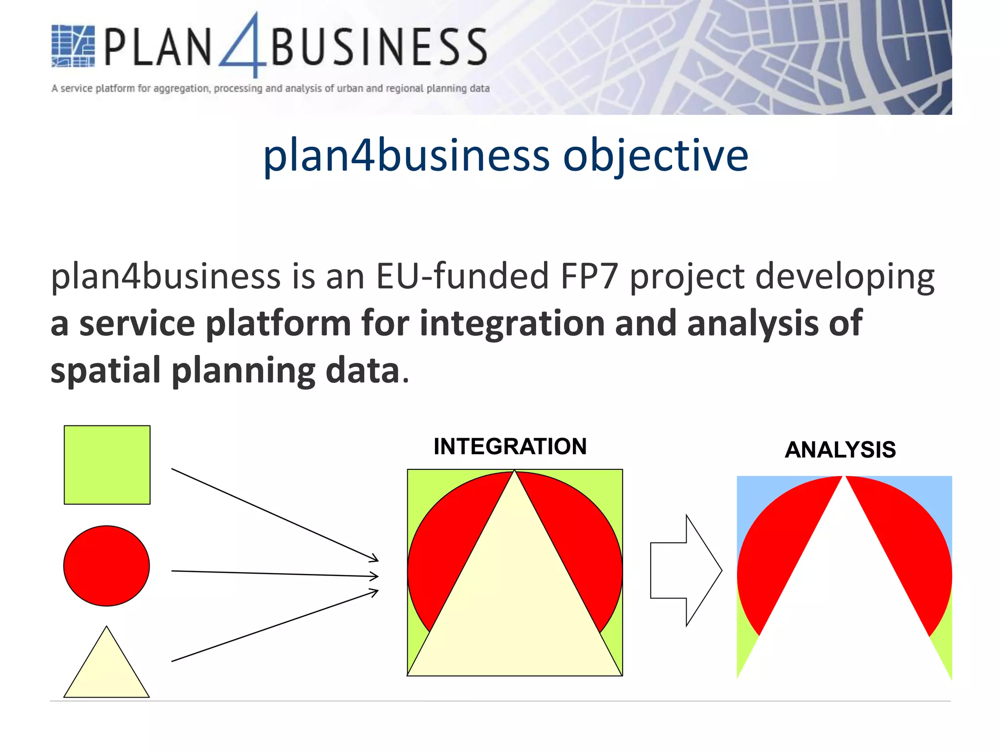


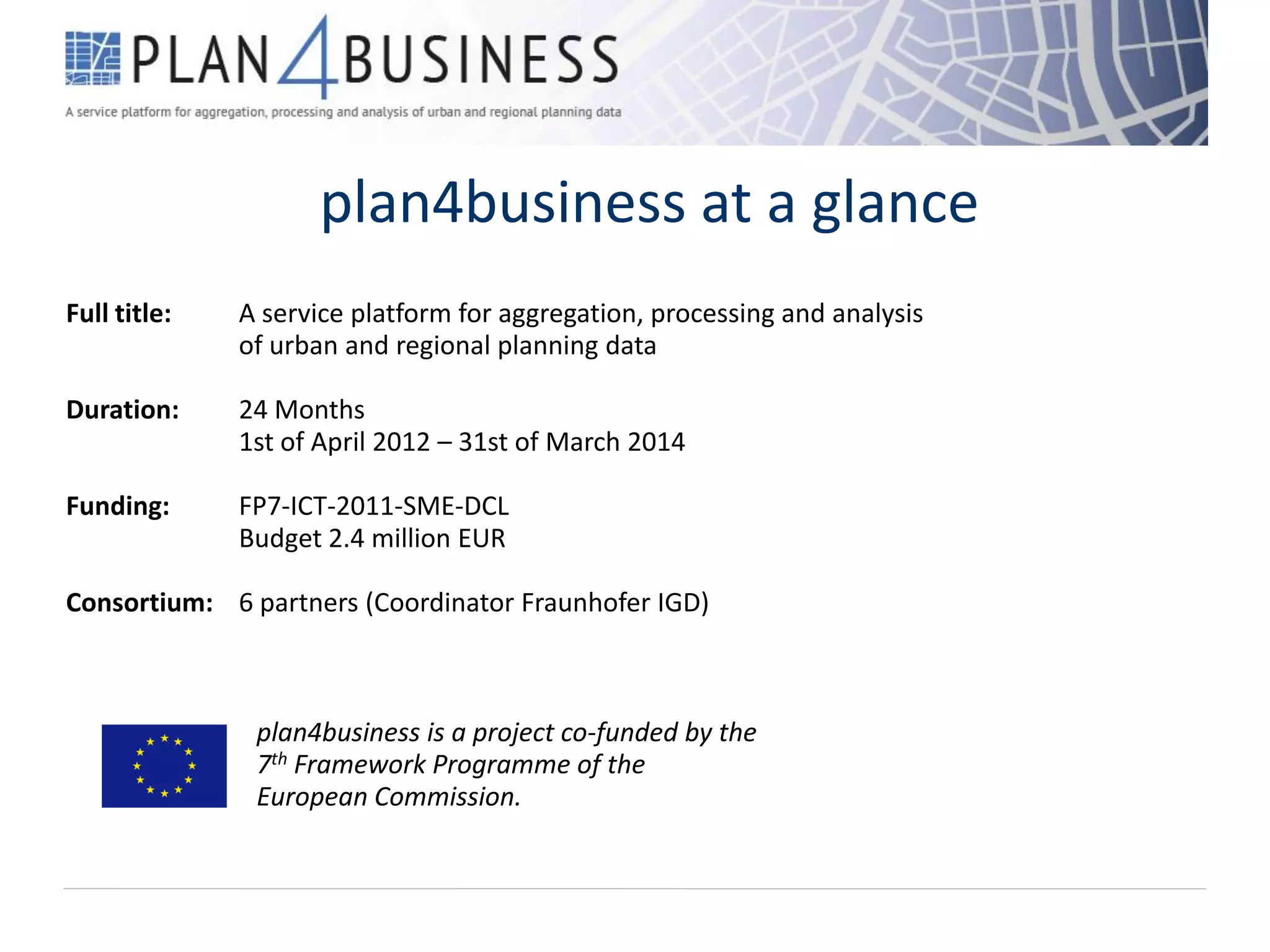

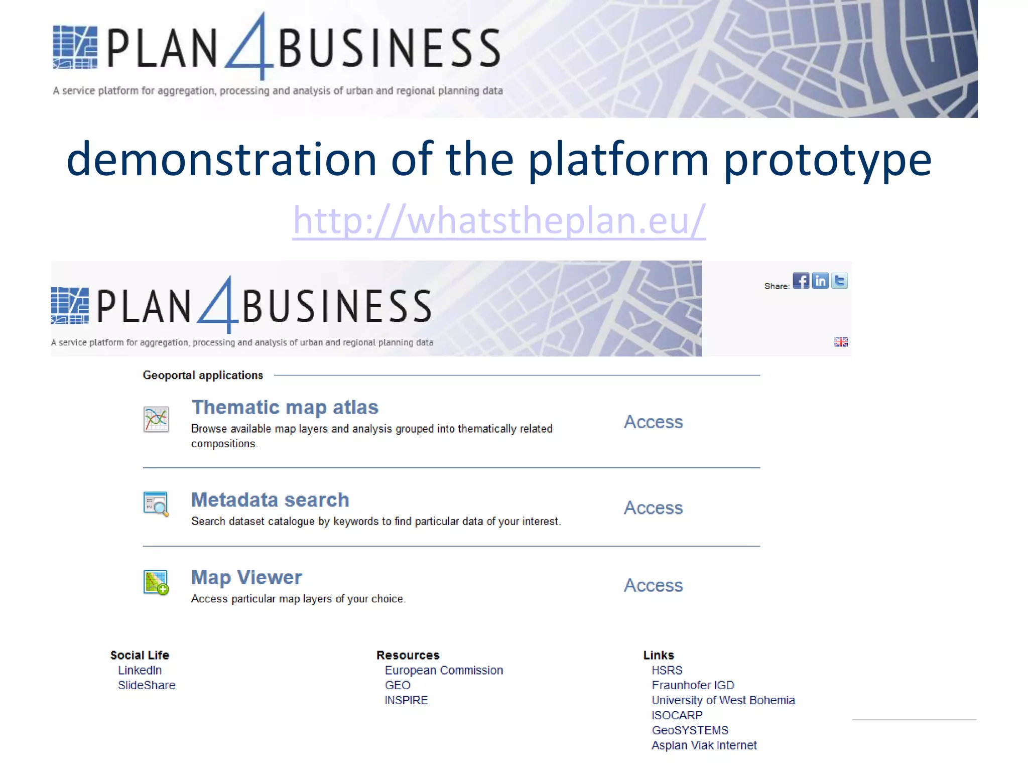


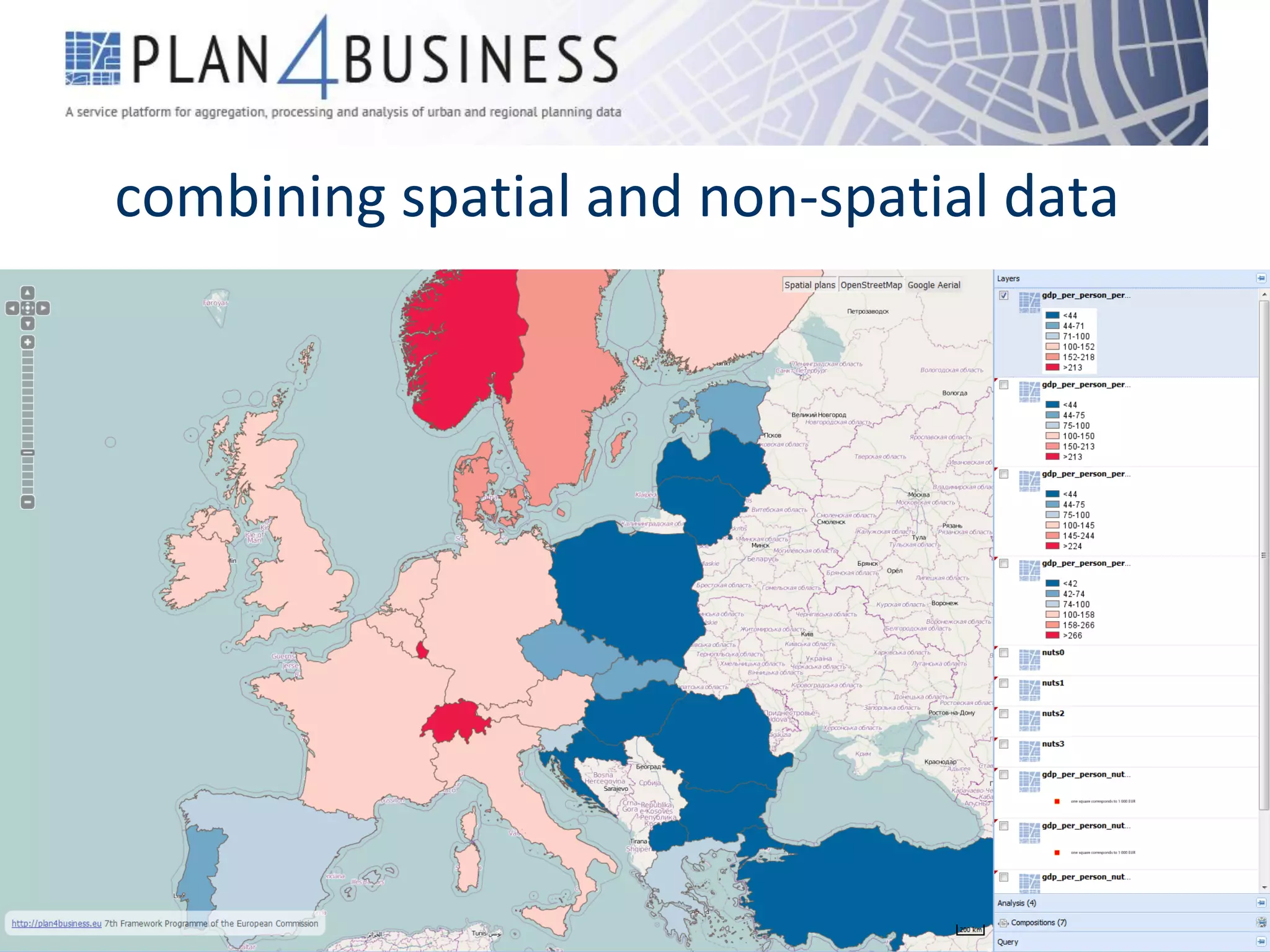
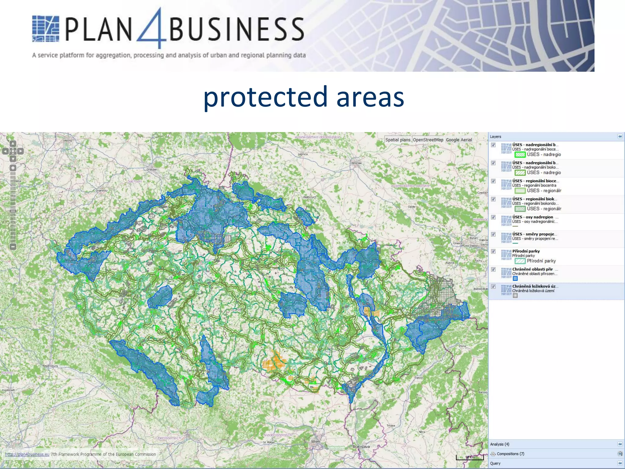


plan4business is an EU-funded project developing a service platform to integrate and analyze spatial planning data from heterogeneous sources. The platform will allow users to access this spatial data and perform spatial analyses. It will integrate data such as land use, statistics, OpenStreetMap, flood areas, protected sites, transport networks, and cadastral parcels. The 24-month project is coordinated by Fraunhofer IGD and has a budget of 2.4 million euros.


