Download to read offline


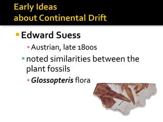
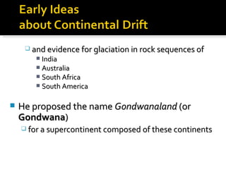
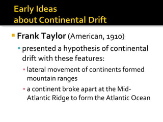

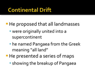
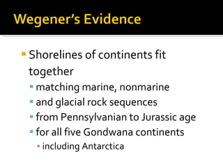
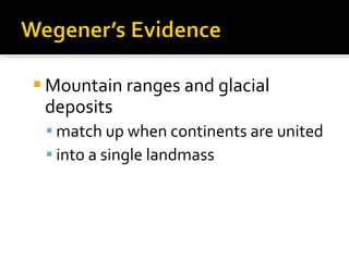
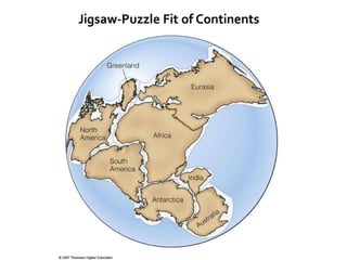
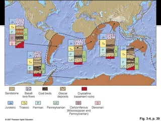
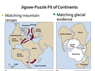
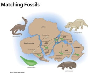
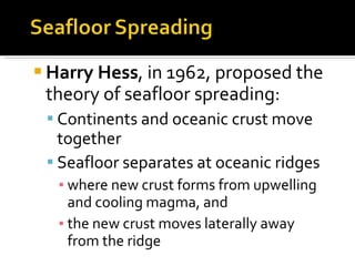
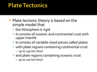
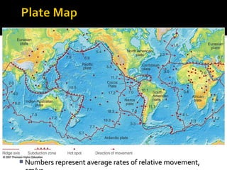

A unifying theory explains diverse observations across a science by relating seemingly unrelated phenomena. Plate tectonics unifies earth sciences by explaining earthquakes, volcanoes, mountain formation, and more. It affects climate, organisms, and resource distribution. Early scientists noted matching rock sequences and glaciation on continents like India, Australia, and South America, proposing they were once joined in a supercontinent called Gondwanaland. Later, others presented hypotheses of continental drift and a supercontinent called Pangaea formed by drifting continents. Studies of paleomagnetism, seafloor spreading at ocean ridges, and radiometric dating provided evidence that supported plate tectonics theory.


![Origin of the universe.pptx [autosaved]](https://cdn.slidesharecdn.com/ss_thumbnails/originoftheuniverse-200614121439-thumbnail.jpg?width=640&height=640&fit=bounds)


