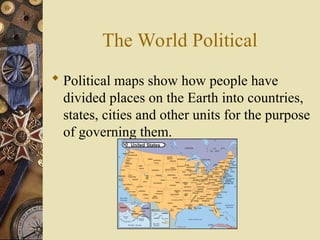
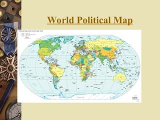
The World Political
Political maps show how people have
divided places on the Earth into countries,
states, cities and other units for the purpose
of governing them.
4.
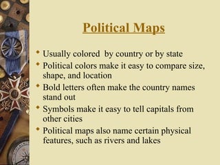
Political Maps
Usuallycolored by country or by state
Political colors make it easy to compare size,
shape, and location
Bold letters often make the country names
stand out
Symbols make it easy to tell capitals from
other cities
Political maps also name certain physical
features, such as rivers and lakes
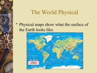
The World Physical
Physical maps show what the surface of
the Earth looks like.
7.
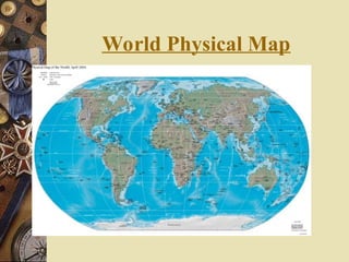
Physical Map
Hascolors that make natural patterns stand
out
The colors on the map can stand for types of
vegetation, mountain, and natural features
Names of big natural features are easy to see
Physical maps also include some political
information, such as boundaries
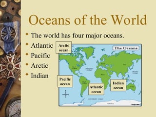
Oceans of theWorld
The world has four major oceans.
Atlantic
Pacific
Arctic
Indian Pacific
ocean
Atlantic
ocean
Arctic
ocean
Indian
ocean
10.
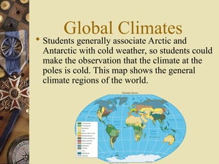
Global Climates
Studentsgenerally associate Arctic and
Antarctic with cold weather, so students could
make the observation that the climate at the
poles is cold. This map shows the general
climate regions of the world.
11.
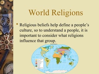
World Religions
Religiousbeliefs help define a people’s
culture, so to understand a people, it is
important to consider what religions
influence that group.
12.
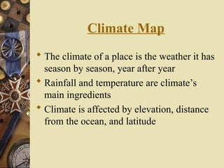
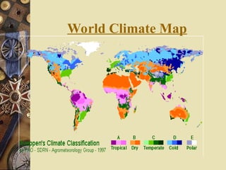
Climate Map
Theclimate of a place is the weather it has
season by season, year after year
Rainfall and temperature are climate’s
main ingredients
Climate is affected by elevation, distance
from the ocean, and latitude
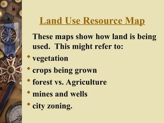
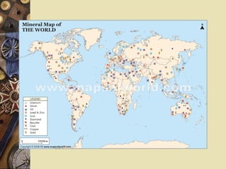
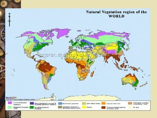
Land Use ResourceMap
These maps show how land is being
used. This might refer to:
vegetation
crops being grown
forest vs. Agriculture
mines and wells
city zoning.
18.
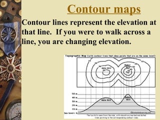
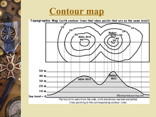
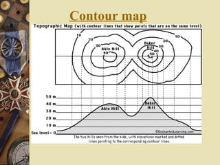
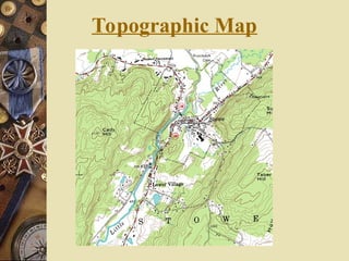
Contour maps
Contour linesrepresent the elevation at
that line. If you were to walk across a
line, you are changing elevation.
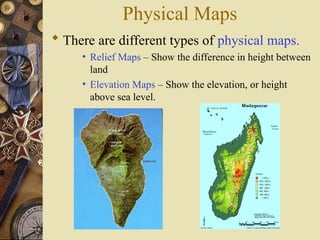
Physical Maps
Thereare different types of physical maps.
• Relief Maps – Show the difference in height between
land
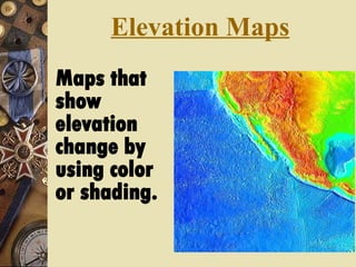
• Elevation Maps – Show the elevation, or height
above sea level.
World Religions
Religiousbeliefs help define a people’s
culture, so to understand a people, it is
important to consider what religions
influence that group.
25.
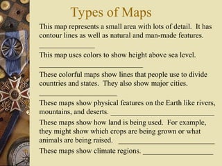
Types of Maps
1.This map represents a small area with lots of detail. It has
contour lines as well as natural and man-made features.
_______________
2. This map uses colors to show height above sea level.
____________________________
3. These colorful maps show lines that people use to divide
countries and states. They also show major cities.
_____________________
4. These maps show physical features on the Earth like rivers,
mountains, and deserts. ____________________________
5. These maps show how land is being used. For example,
they might show which crops are being grown or what
animals are being raised. __________________________
6. These maps show climate regions. ___________________
26.
Map Review
Whatis the purpose of a Political map?
To show borders of countries, states,
cities
27.
Map Review
Thinkabout a hiker. What kind of map
would they need?
A physical map.
Why?
They would need to know things like where
mountains, forest, and rivers are.
28.
Map Review
Whatis the purpose of a Physical map?
Physical maps show what the surface of
the world looks like
29.
Map Review
Thinkabout a hiker. What kind of map
would they need?
A physical map.
Why?
They would need to know things like where
mountains, forest, and rivers are.
30.
Map Review
Whatare the four major oceans of the
world?
Atlantic
Pacific
Arctic
Indian
31.
Map Review
Whyis it important to understand a
peoples religion?
because religion helps shape their culture