The document summarizes the key physical geography of North America, including:
- The northernmost parts of North America including Canada and Alaska experience polar darkness in winter and sunlight in summer due to the tilt of the Earth's axis.
- The Appalachian Mountains run along the eastern coast of North America from Canada to Alabama.
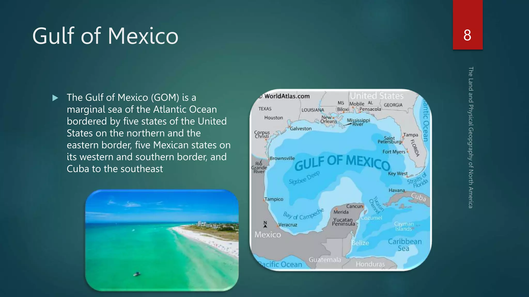
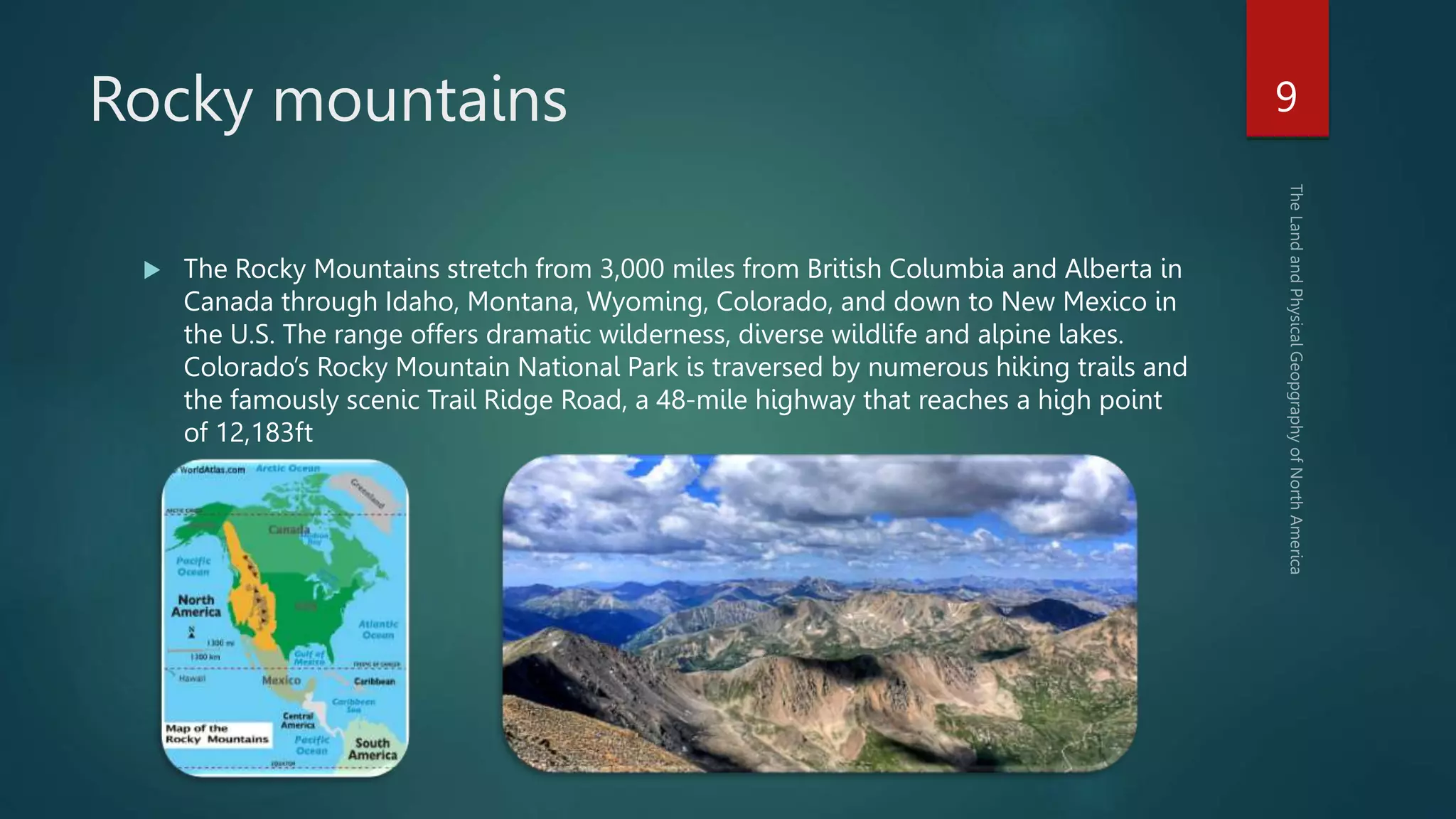
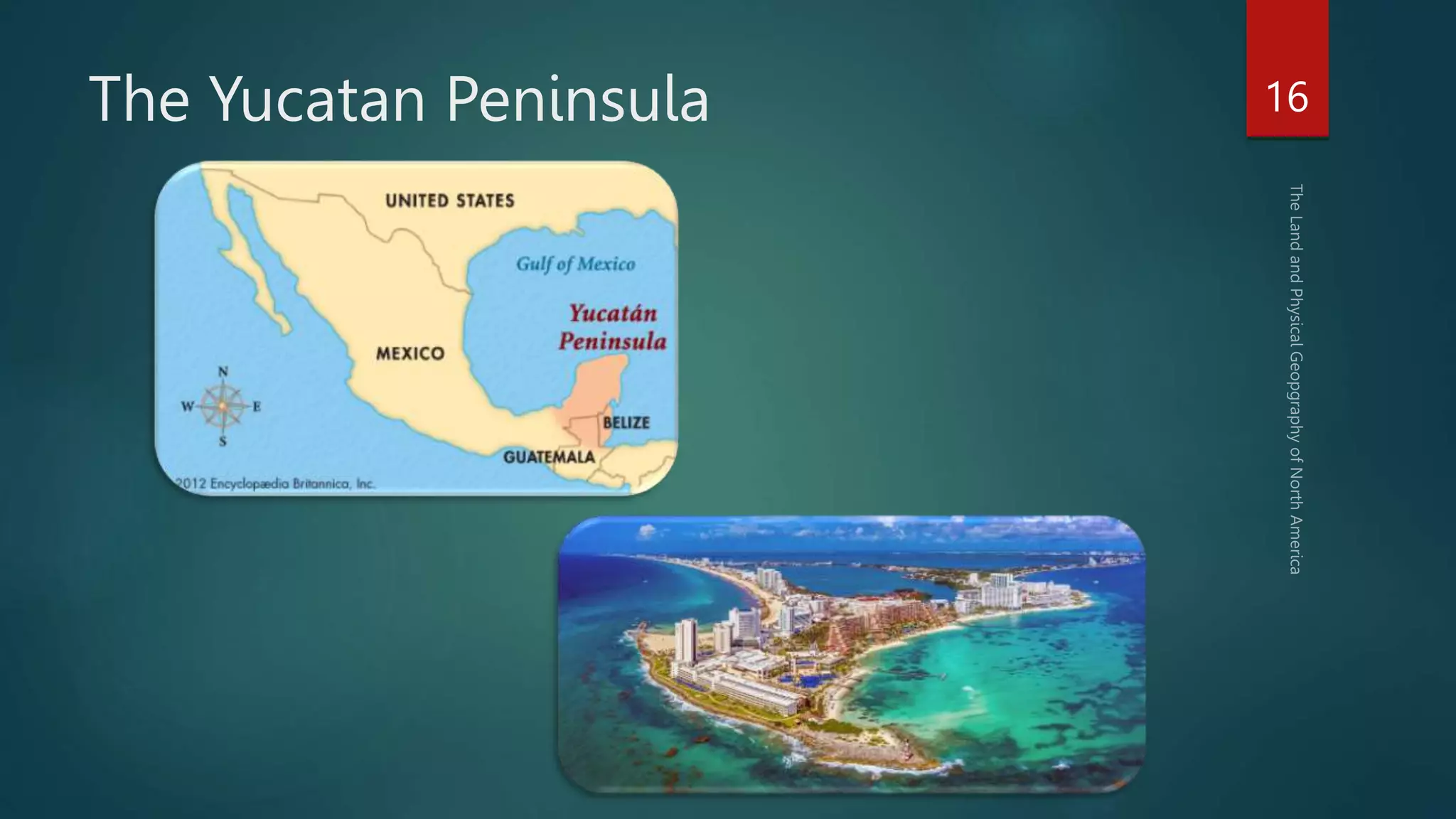
- Other geographic features include the Gulf of Mexico, Rocky Mountains, Cascade Range, Central Mexican Plateau, Sierra Madre Occidental mountain range, Yucatan Peninsula, and the Panama Canal which connects the Atlantic and Pacific Oceans.