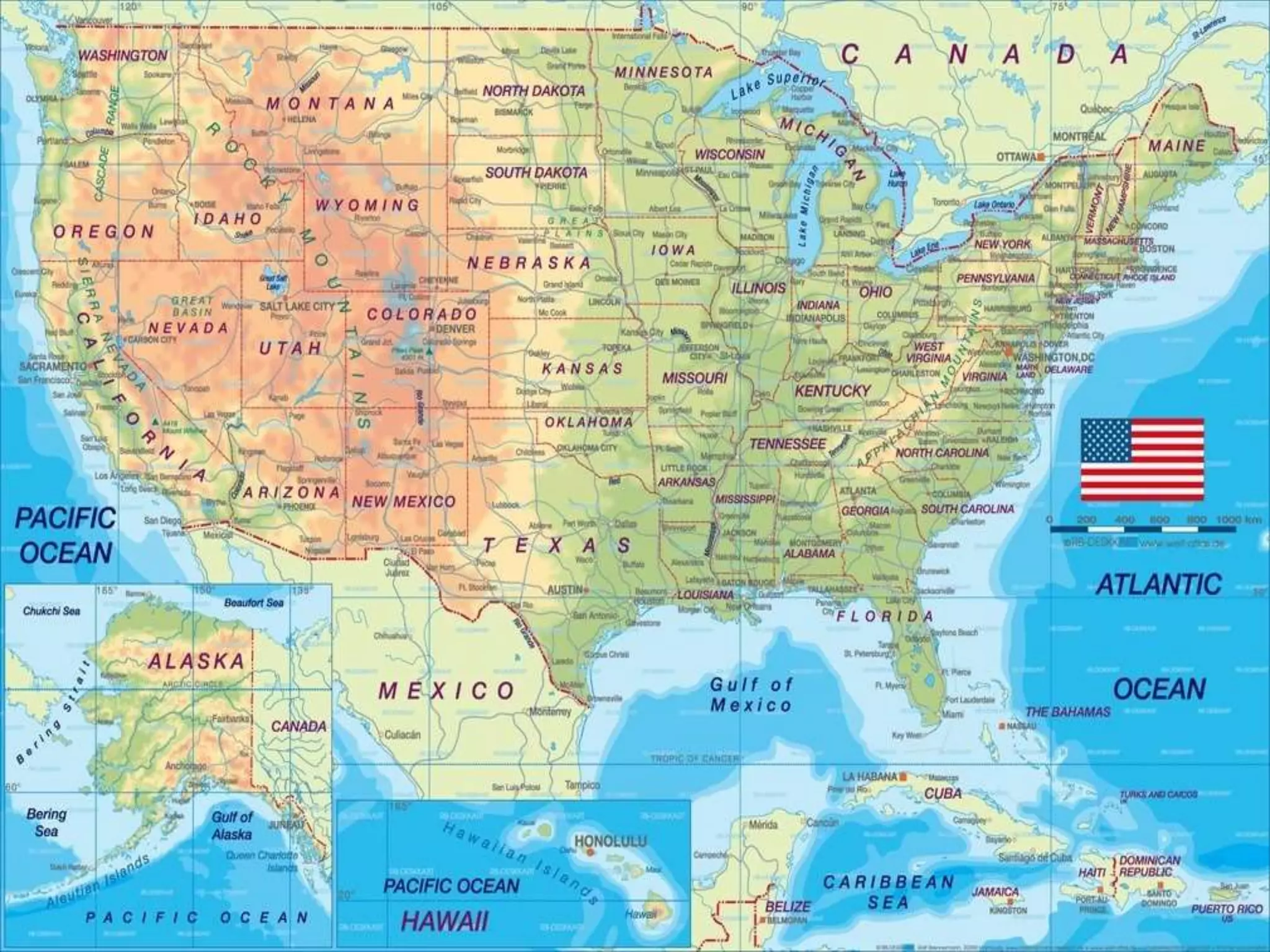
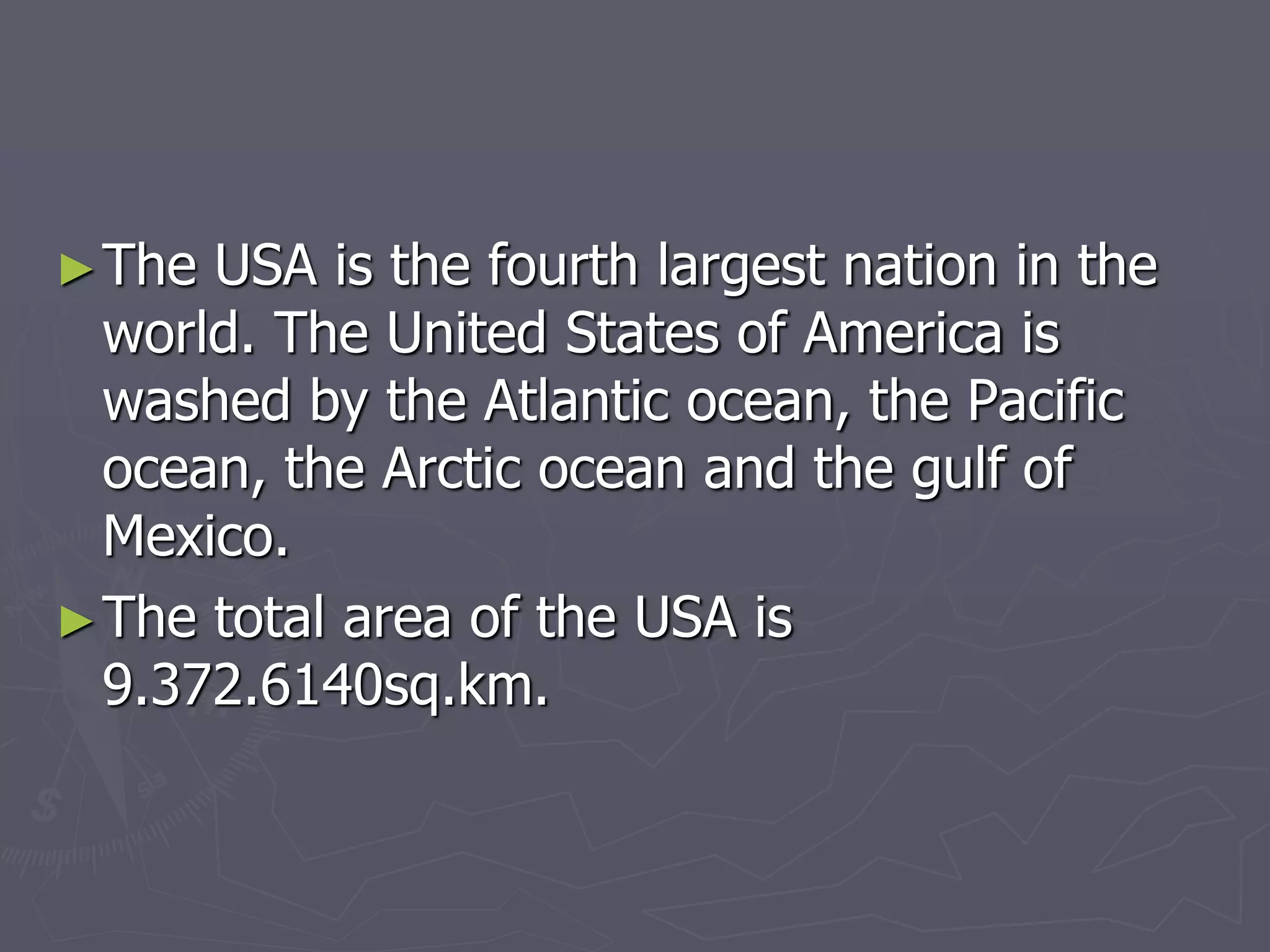
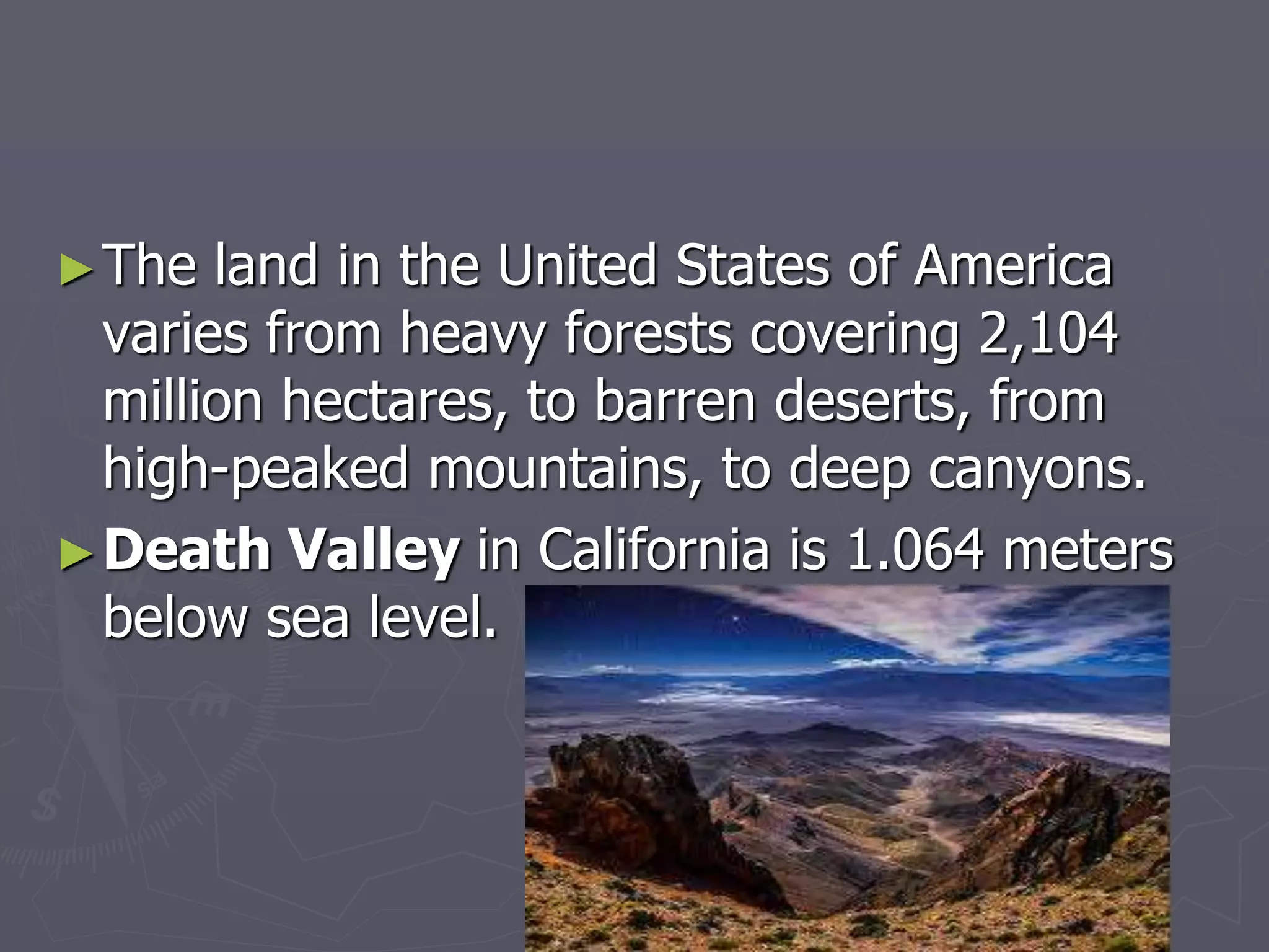
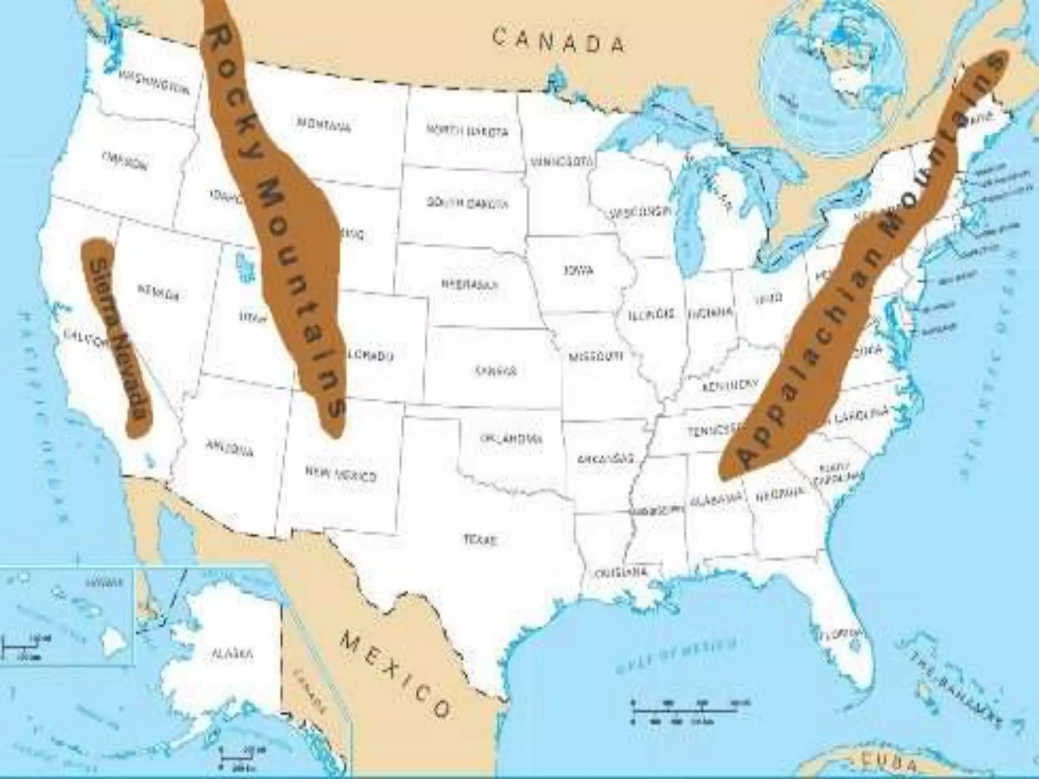
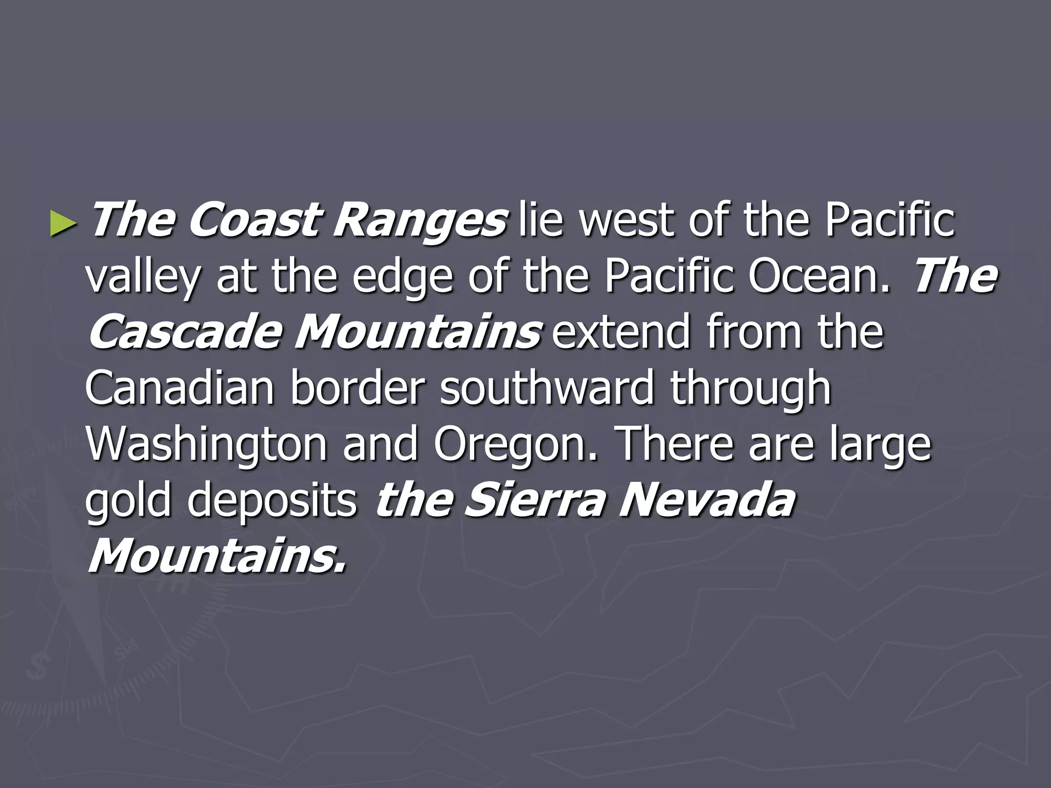
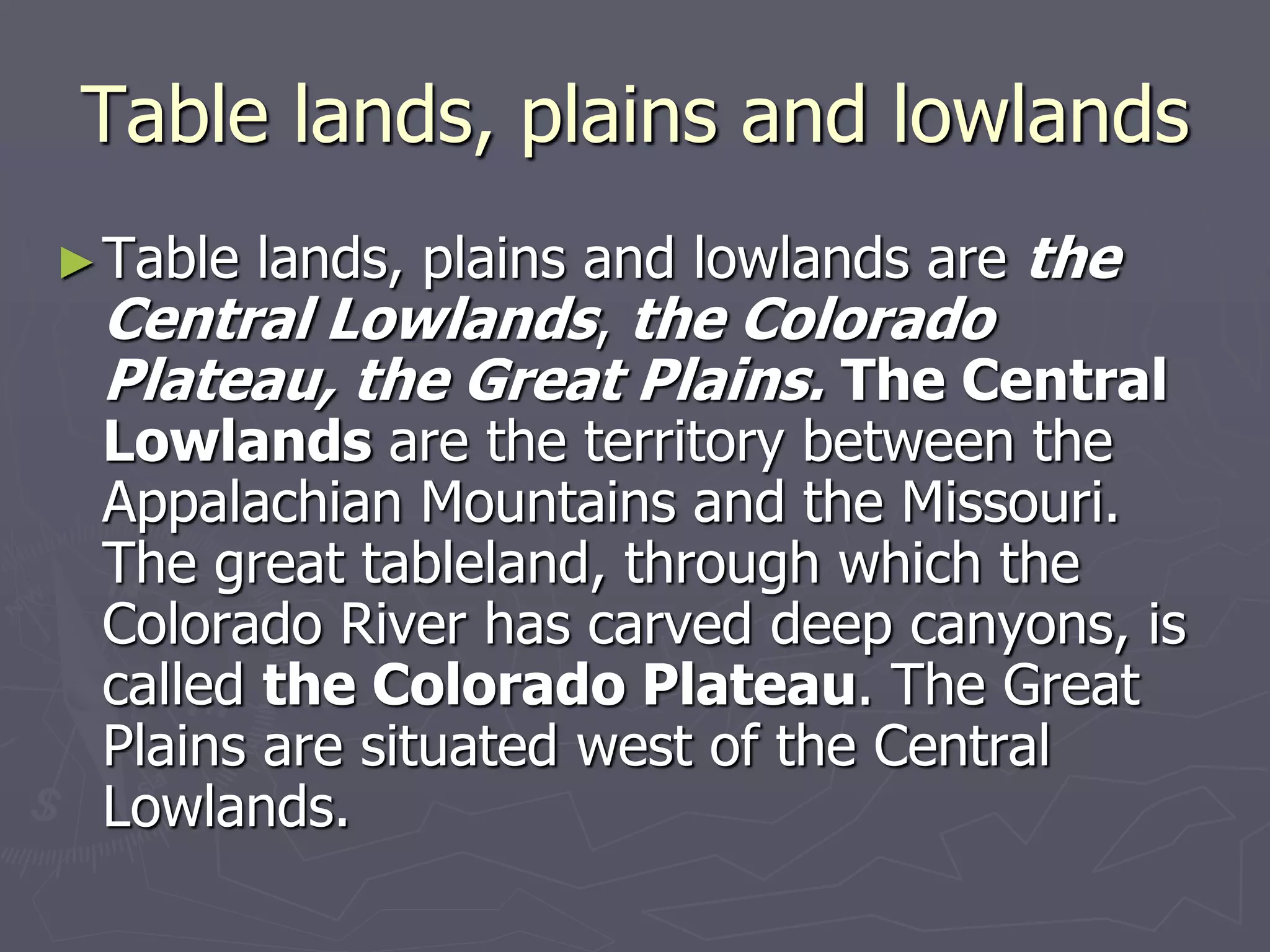
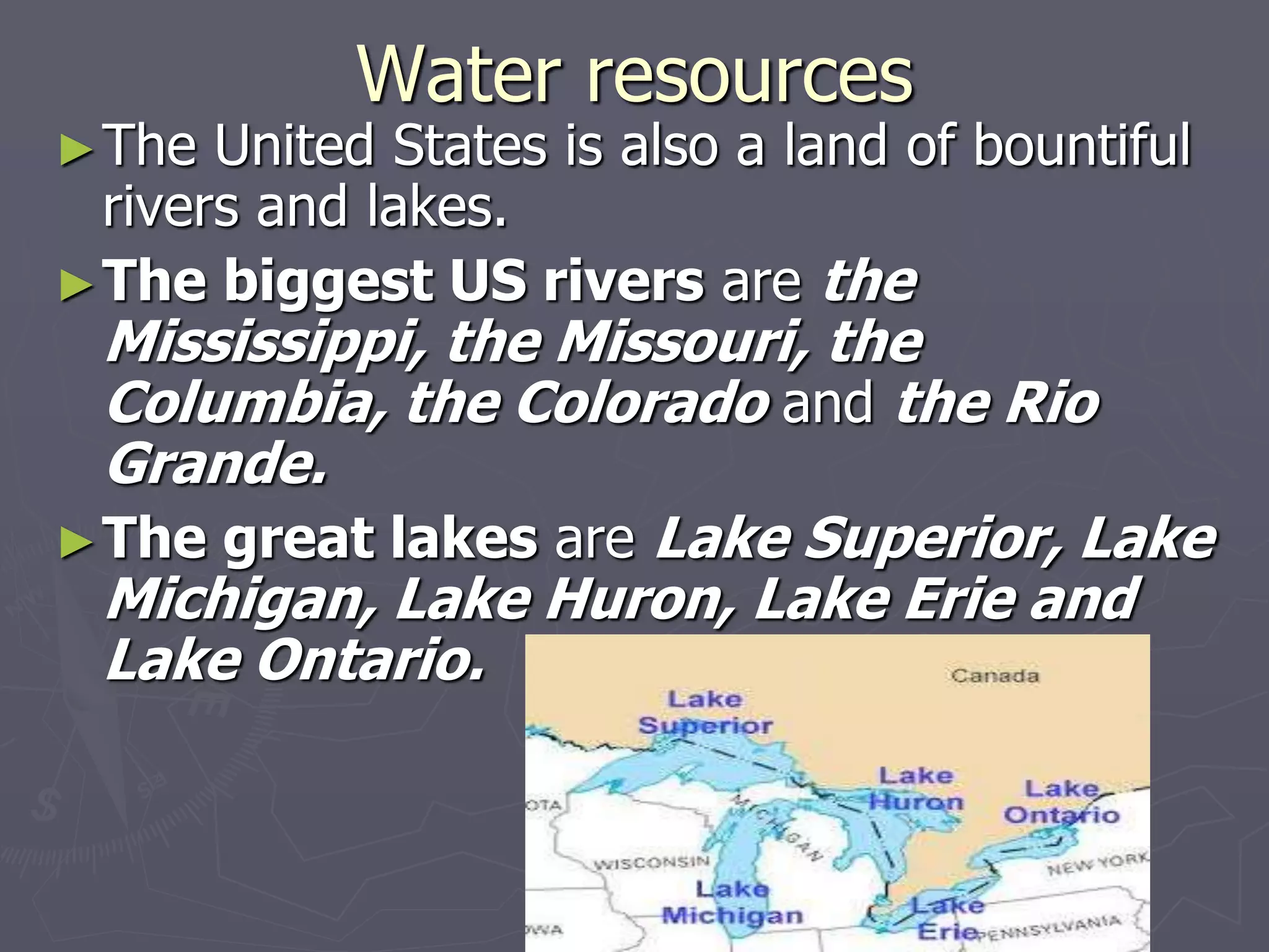
Geographical position of
the USA
Plan
►1. Geographical position and general
characteristics
►2. Climate
►3. Mountains
►4. Table lands, plains and lowlands
►5. Water resources
►6. Mineral resources
►7. National parks
►8. Administrative and regional division
►The USA is the fourth largest nation in the
world. The United States of America is
washed by the Atlantic ocean, the Pacific
ocean, the Arctic ocean and the gulf of
Mexico.
►The total area of the USA is
9.372.6140sq.km.
►The land in the United States of America
varies from heavy forests covering 2,104
million hectares, to barren deserts, from
high-peaked mountains, to deep canyons.
►Death Valley in California is 1.064 meters
below sea level.
►American farmers plant wheat on the cold
western plains; raise corn , wheat and fine
beef cattle in the Midwest, rice in the damp
heat of Louisiana.
►Florida and California are famous for their
vegetable and fruit production.
►In the states of Delaware, Maryland,
Virginia, North and South Carolina, Georgia
the soil is generally rich.
Climate
►America is a land of physical contrasts,
including the weather. The southern parts
of Florida, Texas, California, and the
entire state of Hawaii, have warm
temperatures year around; most of the
United States is in the temperate zone, with
four distinct seasons and varying numbers
of hot and cold day each season, while the
northern tier of states and Alaska have
extremely сold winters.
►The great Plains region is drier than the
land east of the Mississippi. Summers on the
great Plains can be very hot and dry. Both
droughts and floods are common to some
parts of the vast region. The seasons of
spring and autumn tend to be brief.
Mountains
► The biggest mountains in the USA are the Rocky
Mountains, the Appalachian Mountains, the
Cascade Mountains, the Sierra Nevada
Mountains, the Coast Ranges.
► Roсky Mountains are known as “the backbone
of the continent” or the Continental Divide. The
Appalachians, which run roughly parallel to the
east coast, are old mountains with many coal-rich
valleys between them.
►The Coast Ranges lie west of the Pacific
valley at the edge of the Pacific Ocean. The
Cascade Mountains extend from the
Canadian border southward through
Washington and Oregon. There are large
gold deposits the Sierra Nevada
Mountains.
Table lands, plains and lowlands
►Table lands, plains and lowlands are the
Central Lowlands, the Colorado
Plateau, the Great Plains. The Central
Lowlands are the territory between the
Appalachian Mountains and the Missouri.
The great tableland, through which the
Colorado River has carved deep canyons, is
called the Colorado Plateau. The Great
Plains are situated west of the Central
Lowlands.
Water resources
►The United States is also a land of bountiful
rivers and lakes.
►The biggest US rivers are the
Mississippi, the Missouri, the
Columbia, the Colorado and the Rio
Grande.
►The great lakes are Lake Superior, Lake
Michigan, Lake Huron, Lake Erie and
Lake Ontario.
Mineral resources
►Underground, a wealth of minerals provides
a solid base for American industry.
America`s yearly production of gold is far
exceeded by the value of its petroleum,
natural gas, clays, phosphates, lead and
iron, even its output of sand, cement and
stone for construction.
National parks
► The frontier experience of moving westward and
breaking new ground gave Americans several
traditions.
► The first of these was the Yosemite Park in
California. This consists of a beautiful valley
surrounded by cliffs and pinnacles.
► Yosemite was made a national park in 1890,but it
wasn`t the first. That honor went to
Yellowstone, a 2.25 million-acre tract of
wilderness land established as a national park in
1871.
Yellowstone National Park is an American national
park located in the western United States, largely in the northwest
corner of Wyoming and extending into Montana and Idaho. It was
established by the U.S. Congress and signed into law by
President Ulysses S. Grant on March 1, 1872.[5][6] Yellowstone was
the first national park in the U.S. and is also widely held to be the
first national park in the world.[7] The park is known for
its wildlife and its many geothermal features, especially Old
Faithful geyser, one of its most popular.
►President Theodore Roosevelt began
fighting for conservation as soon as he
came into office in 1901.
►Many national parks and national forests
were set aside as reserves after 1901, and a
national Park Service was set up to
administer them in 1916.
►The national Park system is an American
example of conservation that since been
imitated by many countries around the
world.
►More recently, agricultural researchers have
developed a method of planting without
plowing. Known as conservation tillage, it
involves leaving the previous crop`s residue
on the surface to lessen soil erosian. Then,
instead of the soil with plow blades, rows of
tiny holes are punched in the soil to accept
the new seeds.
Administrative and regional division
►One common grouping creates six regions.
►They are:
►New England, made up of the
northernmost five states along the Atlantic
seaboard plus Vermont and parts of New
York.
►The Middle Atlantic Region, composed
of New York, New Jersey, Pennsylvania,
Delaware and Maryland.
►The South, which runs from Virginia south
to Florida and then west as far as central
Texas. The region also takes in West
Virginia, Kentucky, Tennessee, Arkansas,
Louisiana and large parts of Missouri and
Oklahoma.
►The Midwest, a broad collection of states
sweeping westward from Ohio to Nebraska
and southward from North Dakota to
Kansas, including eastern Colorado.
►The Southwest, made up of western
Texas, portions of Oklahoma, New Mexico,
Arizona, Nevada and the southern interior
area of California.
►The West, comprising Colorado, Wyoming,
Montana, Utah, California, Nevada, Idaho,
Oregon, Washington, Alaska and Hawaii.

Geographical position of the USA.ppt

  • 1.
  • 2.
    Plan ►1. Geographical positionand general characteristics ►2. Climate ►3. Mountains ►4. Table lands, plains and lowlands
  • 3.
    ►5. Water resources ►6.Mineral resources ►7. National parks ►8. Administrative and regional division
  • 5.
    ►The USA isthe fourth largest nation in the world. The United States of America is washed by the Atlantic ocean, the Pacific ocean, the Arctic ocean and the gulf of Mexico. ►The total area of the USA is 9.372.6140sq.km.
  • 6.
    ►The land inthe United States of America varies from heavy forests covering 2,104 million hectares, to barren deserts, from high-peaked mountains, to deep canyons. ►Death Valley in California is 1.064 meters below sea level.
  • 7.
    ►American farmers plantwheat on the cold western plains; raise corn , wheat and fine beef cattle in the Midwest, rice in the damp heat of Louisiana. ►Florida and California are famous for their vegetable and fruit production. ►In the states of Delaware, Maryland, Virginia, North and South Carolina, Georgia the soil is generally rich.
  • 8.
    Climate ►America is aland of physical contrasts, including the weather. The southern parts of Florida, Texas, California, and the entire state of Hawaii, have warm temperatures year around; most of the United States is in the temperate zone, with four distinct seasons and varying numbers of hot and cold day each season, while the northern tier of states and Alaska have extremely сold winters.
  • 9.
    ►The great Plainsregion is drier than the land east of the Mississippi. Summers on the great Plains can be very hot and dry. Both droughts and floods are common to some parts of the vast region. The seasons of spring and autumn tend to be brief.
  • 10.
    Mountains ► The biggestmountains in the USA are the Rocky Mountains, the Appalachian Mountains, the Cascade Mountains, the Sierra Nevada Mountains, the Coast Ranges. ► Roсky Mountains are known as “the backbone of the continent” or the Continental Divide. The Appalachians, which run roughly parallel to the east coast, are old mountains with many coal-rich valleys between them.
  • 12.
    ►The Coast Rangeslie west of the Pacific valley at the edge of the Pacific Ocean. The Cascade Mountains extend from the Canadian border southward through Washington and Oregon. There are large gold deposits the Sierra Nevada Mountains.
  • 13.
    Table lands, plainsand lowlands ►Table lands, plains and lowlands are the Central Lowlands, the Colorado Plateau, the Great Plains. The Central Lowlands are the territory between the Appalachian Mountains and the Missouri. The great tableland, through which the Colorado River has carved deep canyons, is called the Colorado Plateau. The Great Plains are situated west of the Central Lowlands.
  • 14.
    Water resources ►The UnitedStates is also a land of bountiful rivers and lakes. ►The biggest US rivers are the Mississippi, the Missouri, the Columbia, the Colorado and the Rio Grande. ►The great lakes are Lake Superior, Lake Michigan, Lake Huron, Lake Erie and Lake Ontario.
  • 15.
    Mineral resources ►Underground, awealth of minerals provides a solid base for American industry. America`s yearly production of gold is far exceeded by the value of its petroleum, natural gas, clays, phosphates, lead and iron, even its output of sand, cement and stone for construction.
  • 16.
    National parks ► Thefrontier experience of moving westward and breaking new ground gave Americans several traditions. ► The first of these was the Yosemite Park in California. This consists of a beautiful valley surrounded by cliffs and pinnacles. ► Yosemite was made a national park in 1890,but it wasn`t the first. That honor went to Yellowstone, a 2.25 million-acre tract of wilderness land established as a national park in 1871.
  • 17.
    Yellowstone National Parkis an American national park located in the western United States, largely in the northwest corner of Wyoming and extending into Montana and Idaho. It was established by the U.S. Congress and signed into law by President Ulysses S. Grant on March 1, 1872.[5][6] Yellowstone was the first national park in the U.S. and is also widely held to be the first national park in the world.[7] The park is known for its wildlife and its many geothermal features, especially Old Faithful geyser, one of its most popular.
  • 18.
    ►President Theodore Rooseveltbegan fighting for conservation as soon as he came into office in 1901. ►Many national parks and national forests were set aside as reserves after 1901, and a national Park Service was set up to administer them in 1916. ►The national Park system is an American example of conservation that since been imitated by many countries around the world.
  • 19.
    ►More recently, agriculturalresearchers have developed a method of planting without plowing. Known as conservation tillage, it involves leaving the previous crop`s residue on the surface to lessen soil erosian. Then, instead of the soil with plow blades, rows of tiny holes are punched in the soil to accept the new seeds.
  • 20.
    Administrative and regionaldivision ►One common grouping creates six regions. ►They are: ►New England, made up of the northernmost five states along the Atlantic seaboard plus Vermont and parts of New York. ►The Middle Atlantic Region, composed of New York, New Jersey, Pennsylvania, Delaware and Maryland.
  • 21.
    ►The South, whichruns from Virginia south to Florida and then west as far as central Texas. The region also takes in West Virginia, Kentucky, Tennessee, Arkansas, Louisiana and large parts of Missouri and Oklahoma.
  • 22.
    ►The Midwest, abroad collection of states sweeping westward from Ohio to Nebraska and southward from North Dakota to Kansas, including eastern Colorado. ►The Southwest, made up of western Texas, portions of Oklahoma, New Mexico, Arizona, Nevada and the southern interior area of California.
  • 23.
    ►The West, comprisingColorado, Wyoming, Montana, Utah, California, Nevada, Idaho, Oregon, Washington, Alaska and Hawaii.