
Download to read offline

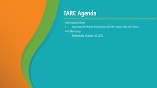


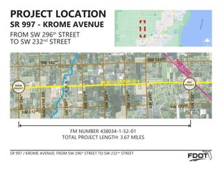
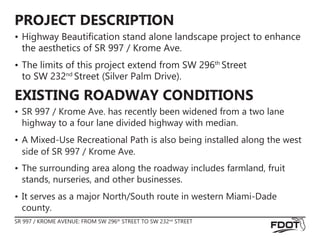

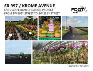

The Miami-Dade TPO Transportation Aesthetics Review Committee (TARC) held a virtual workshop on September 15, 2021, focusing on the landscape beautification project along State Road 997 (Krome Avenue) between SW 296th and SW 232nd Street. The project aims to enhance the roadway's aesthetics through plantings that improve safety, reflect local identity, and mitigate visual impacts from recent road widening. The next workshop is scheduled for October 20, 2021.


