Download as PDF, PPTX
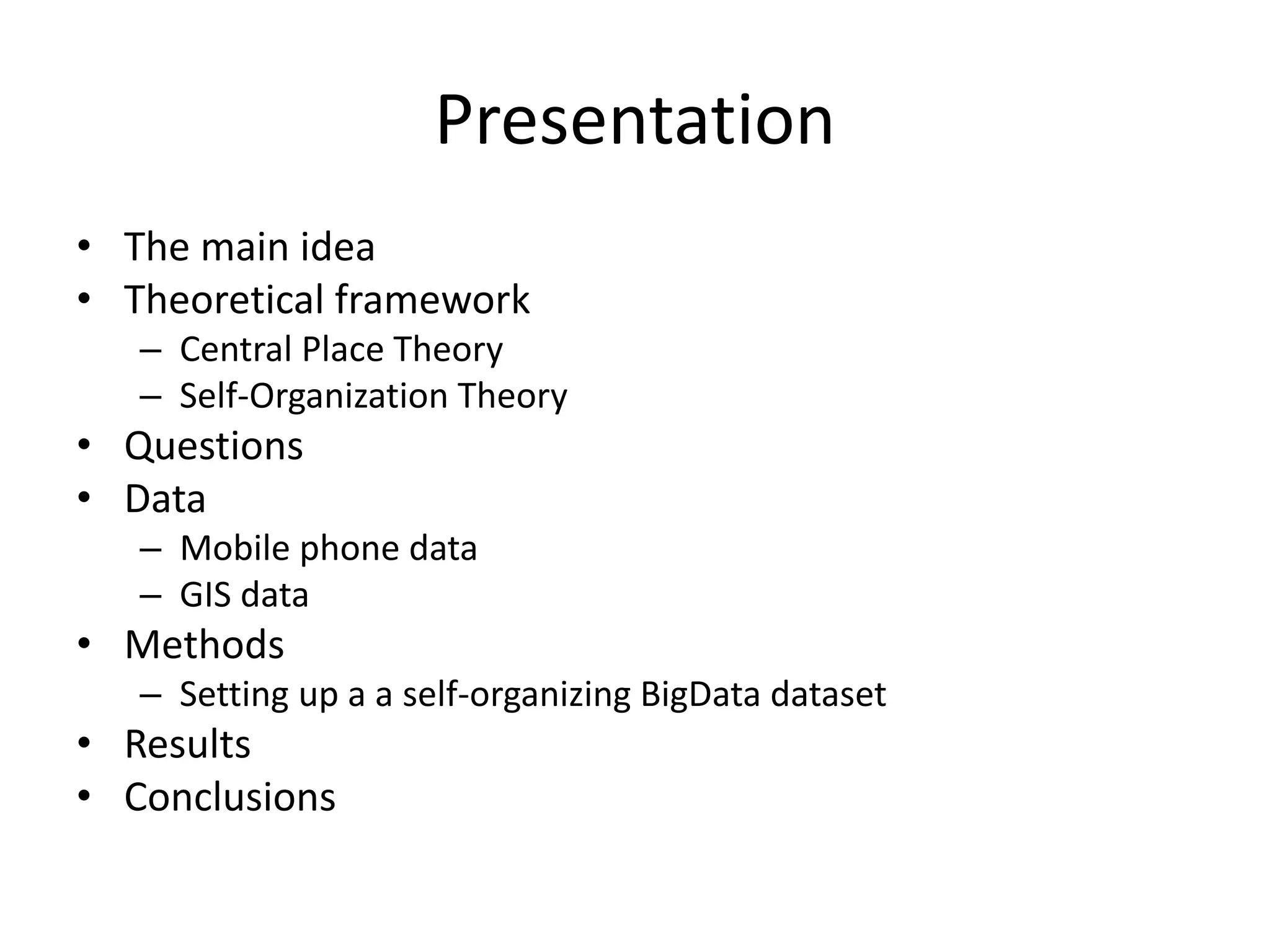
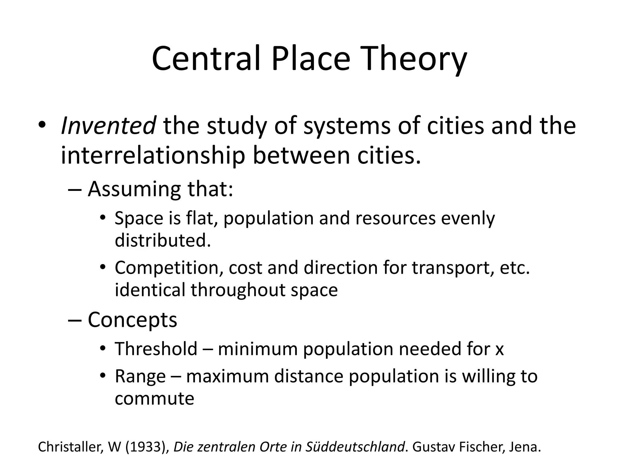
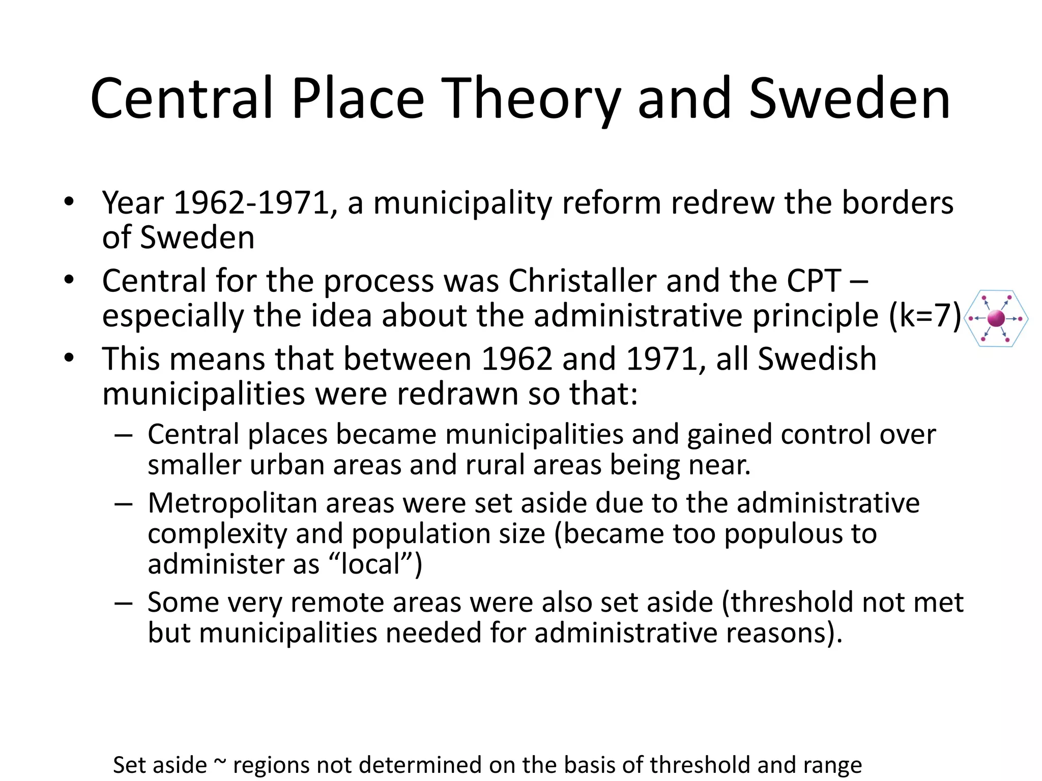
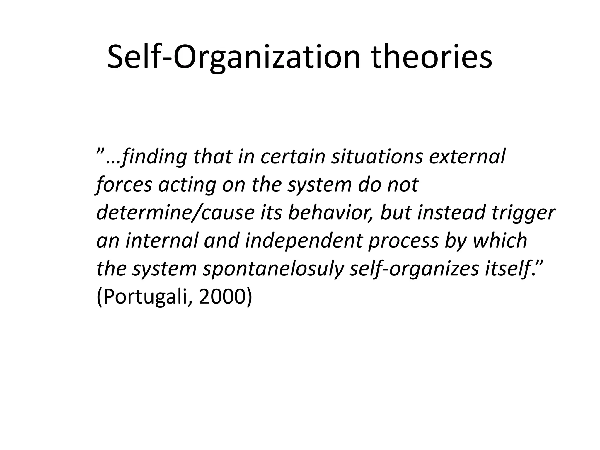
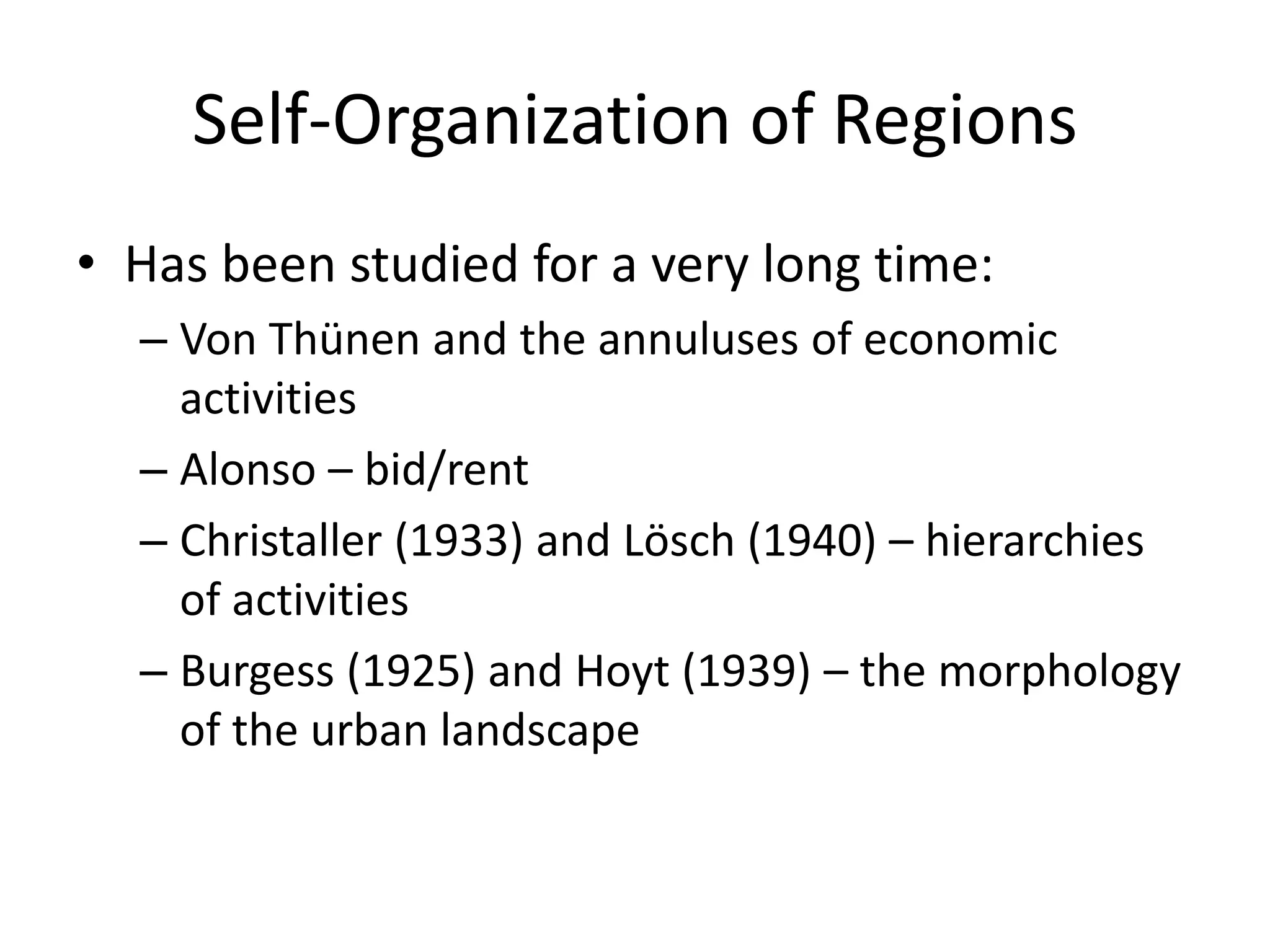
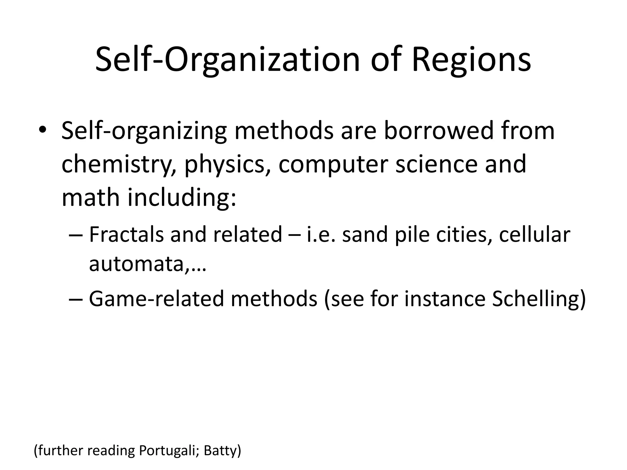
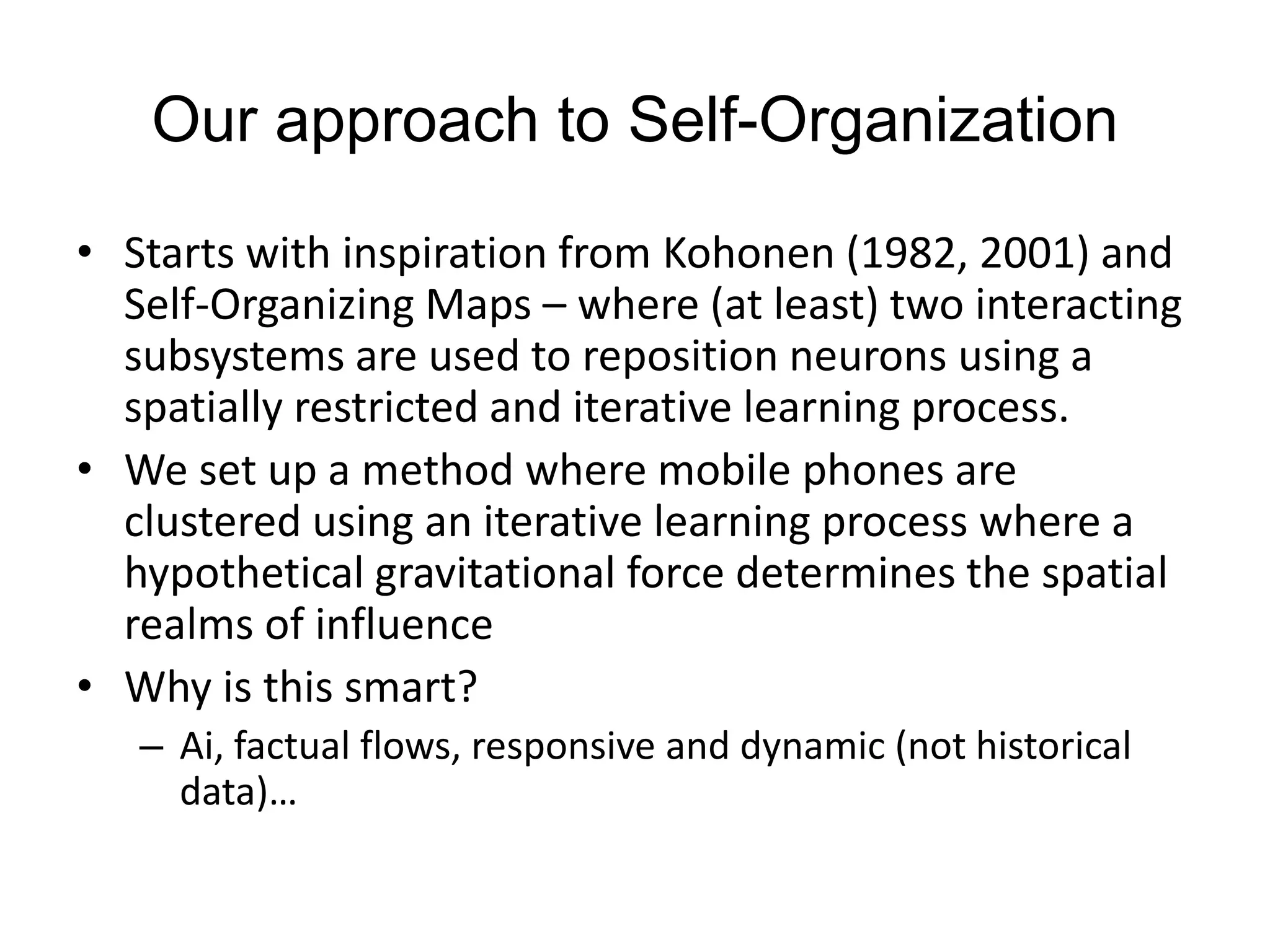
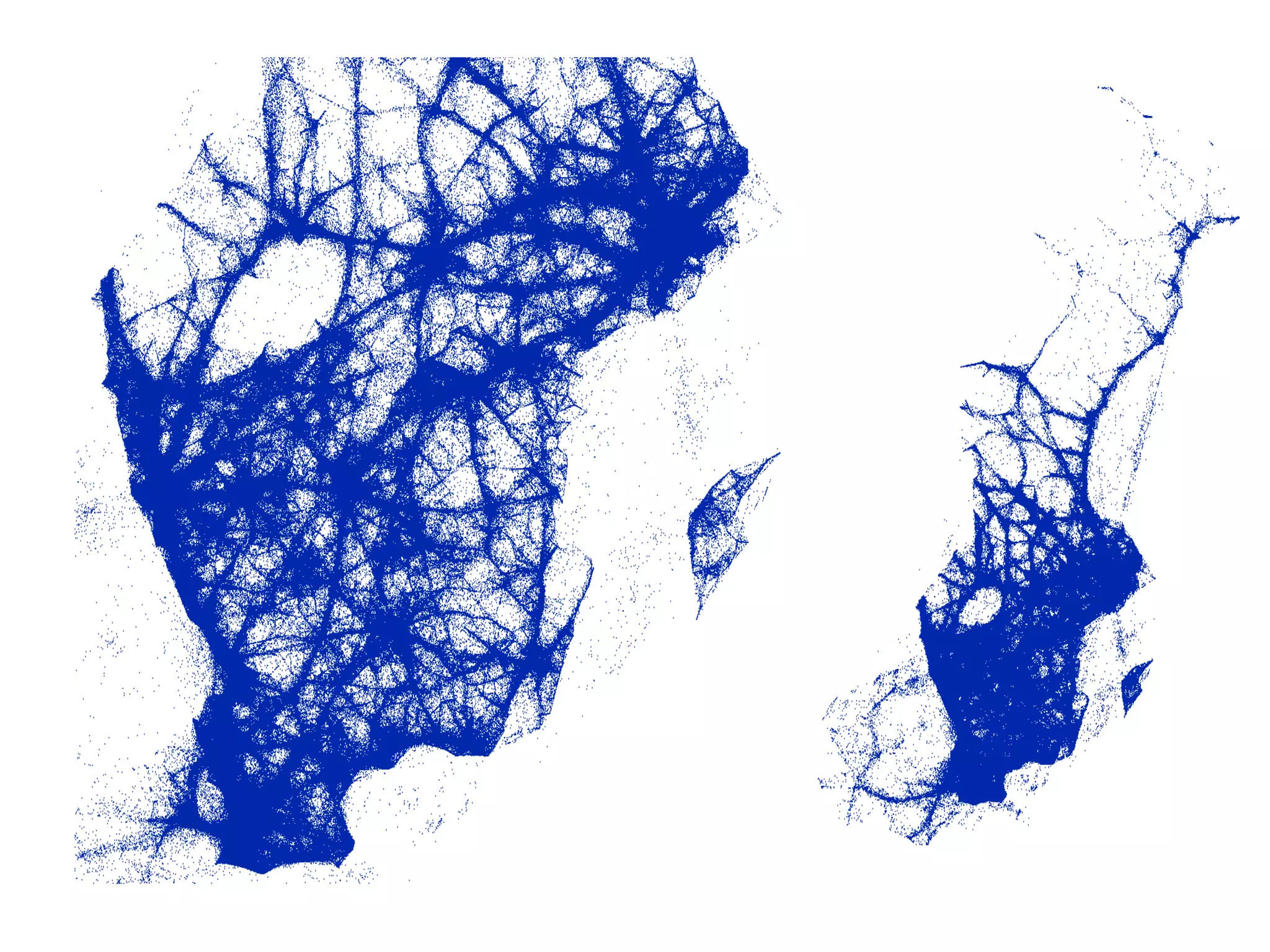
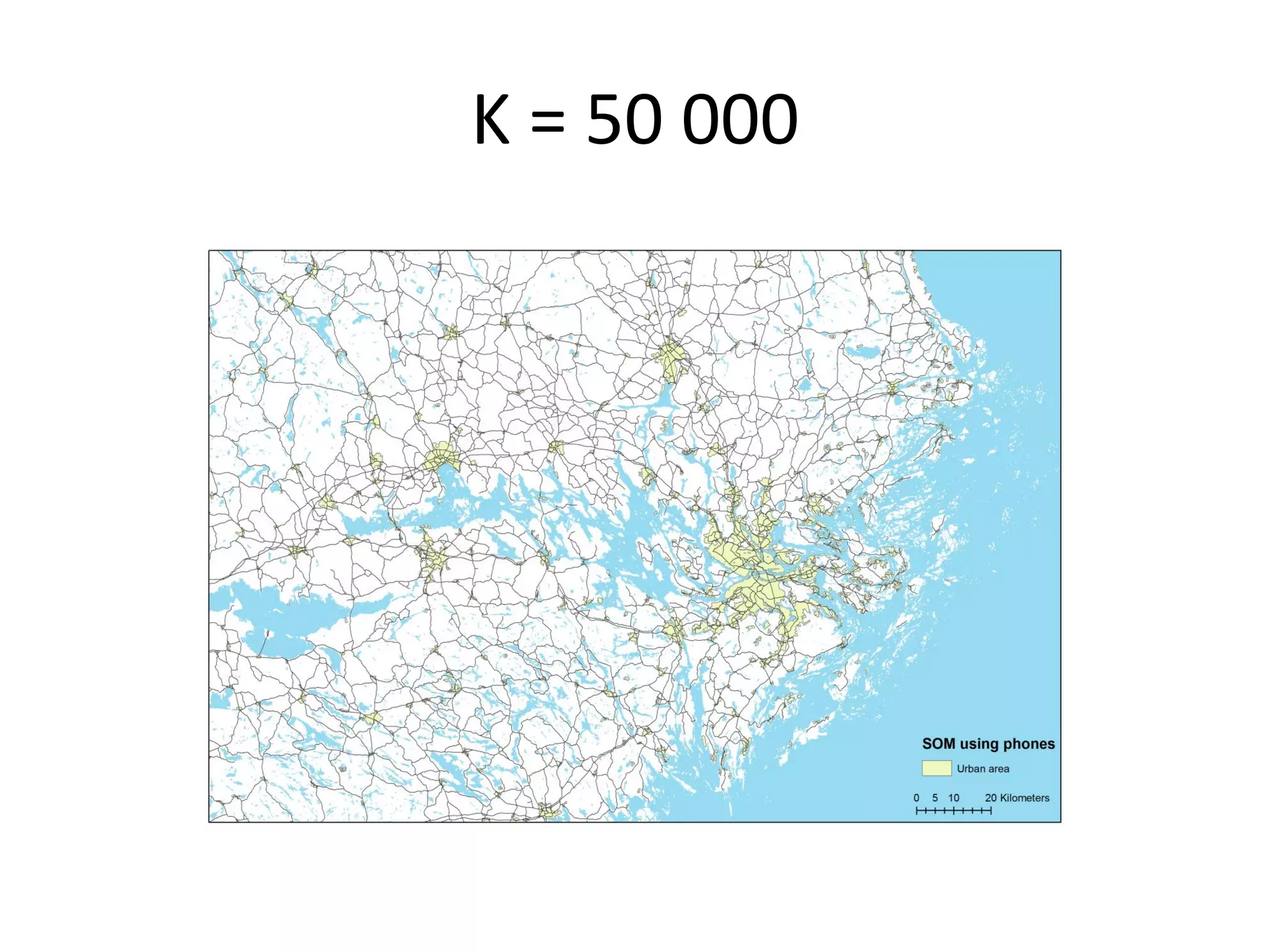
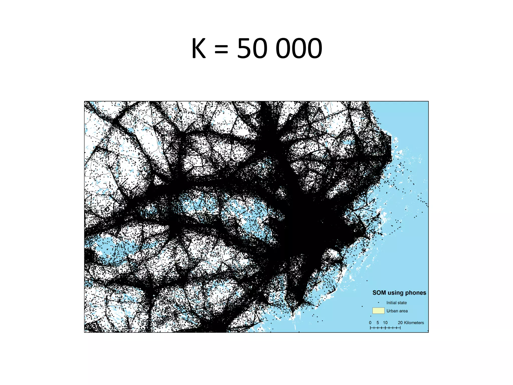
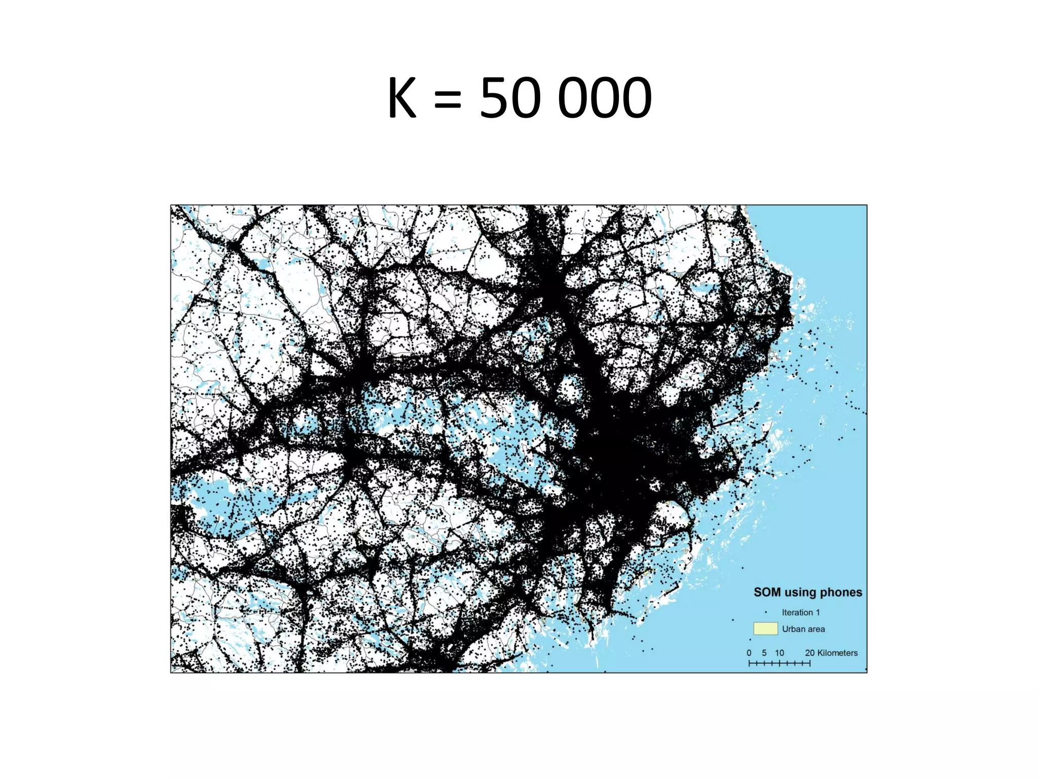
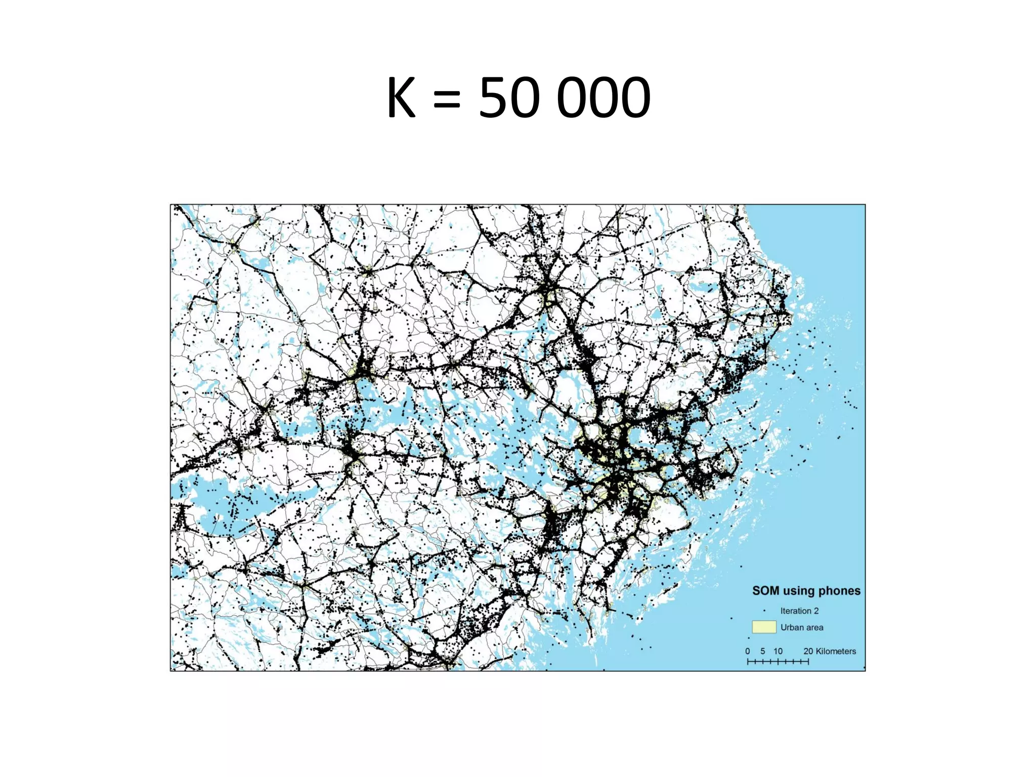
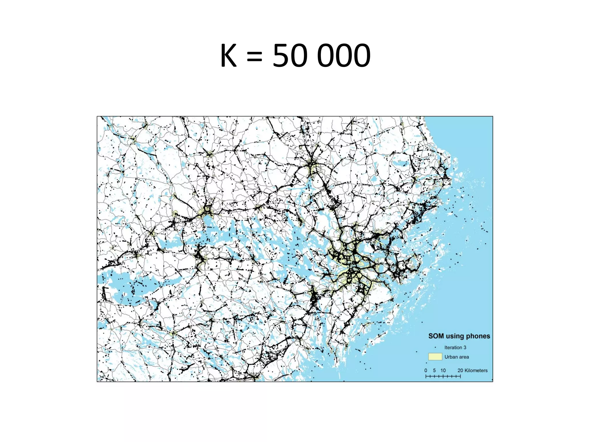

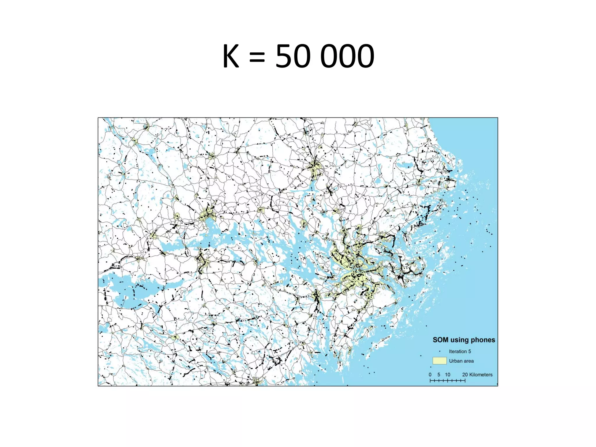


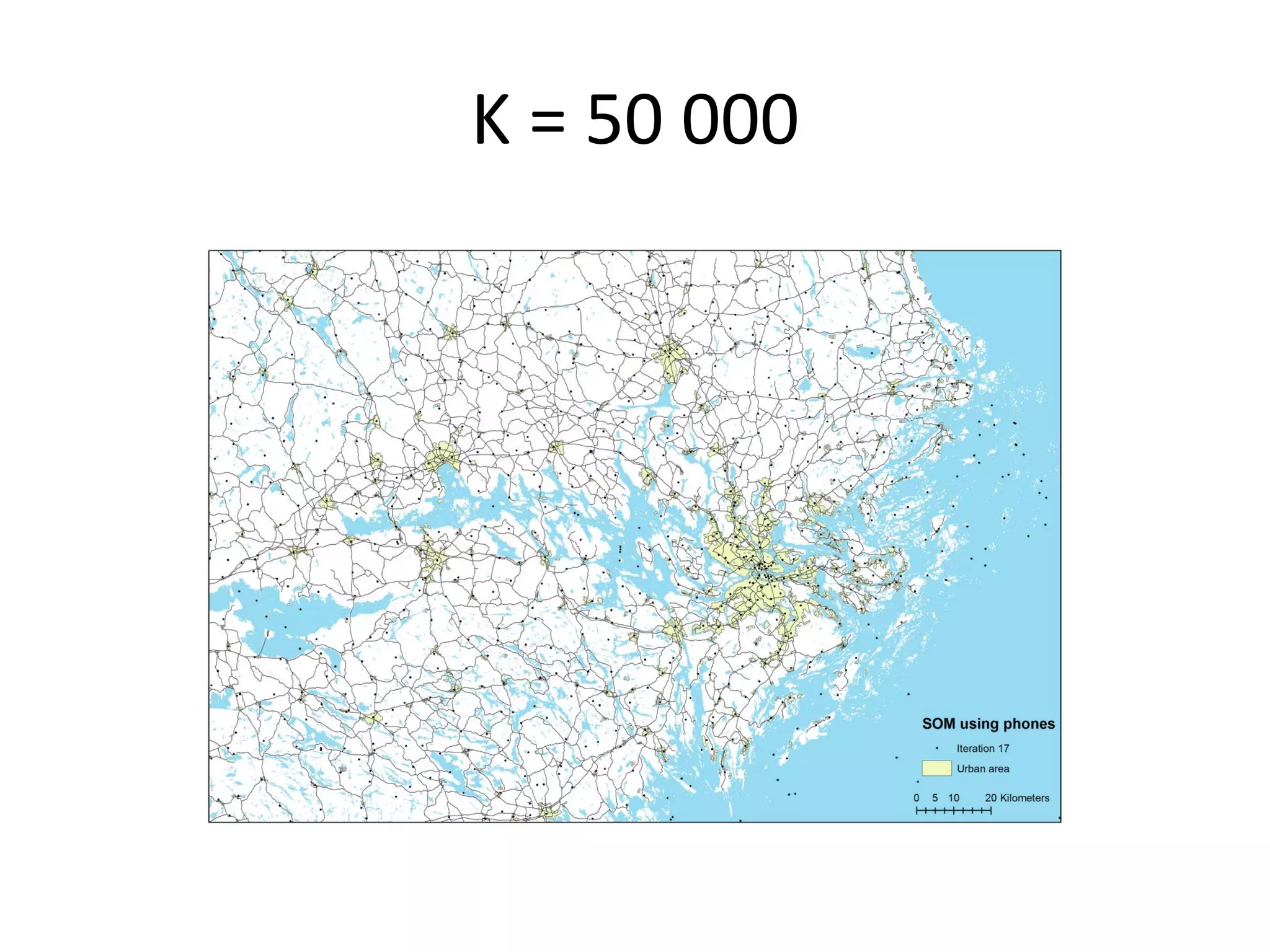
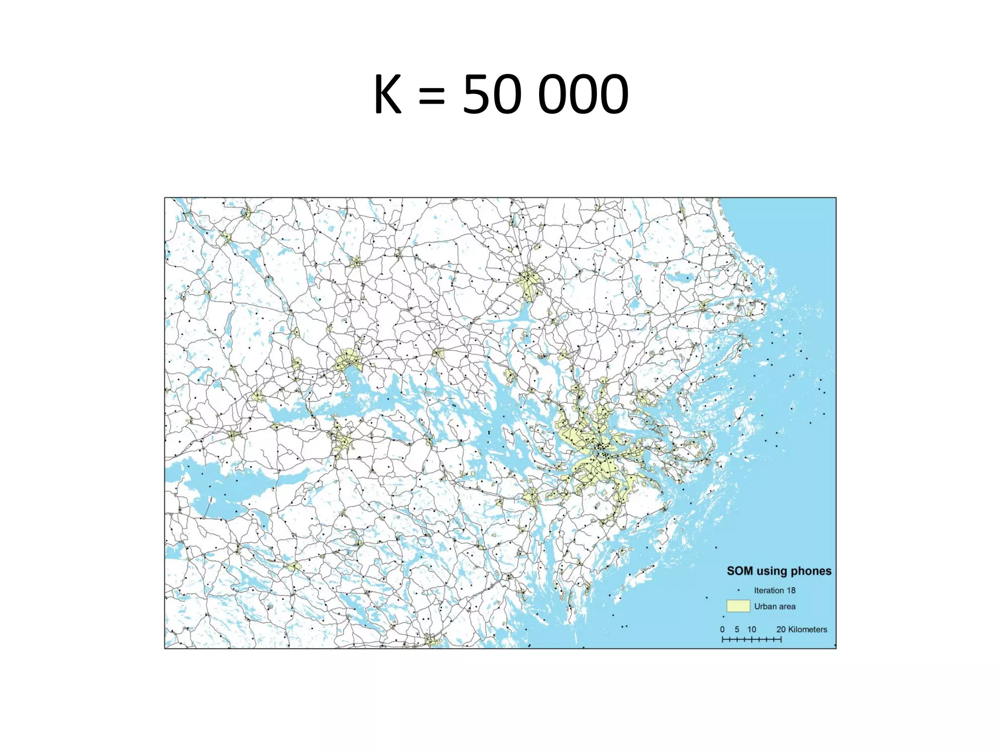


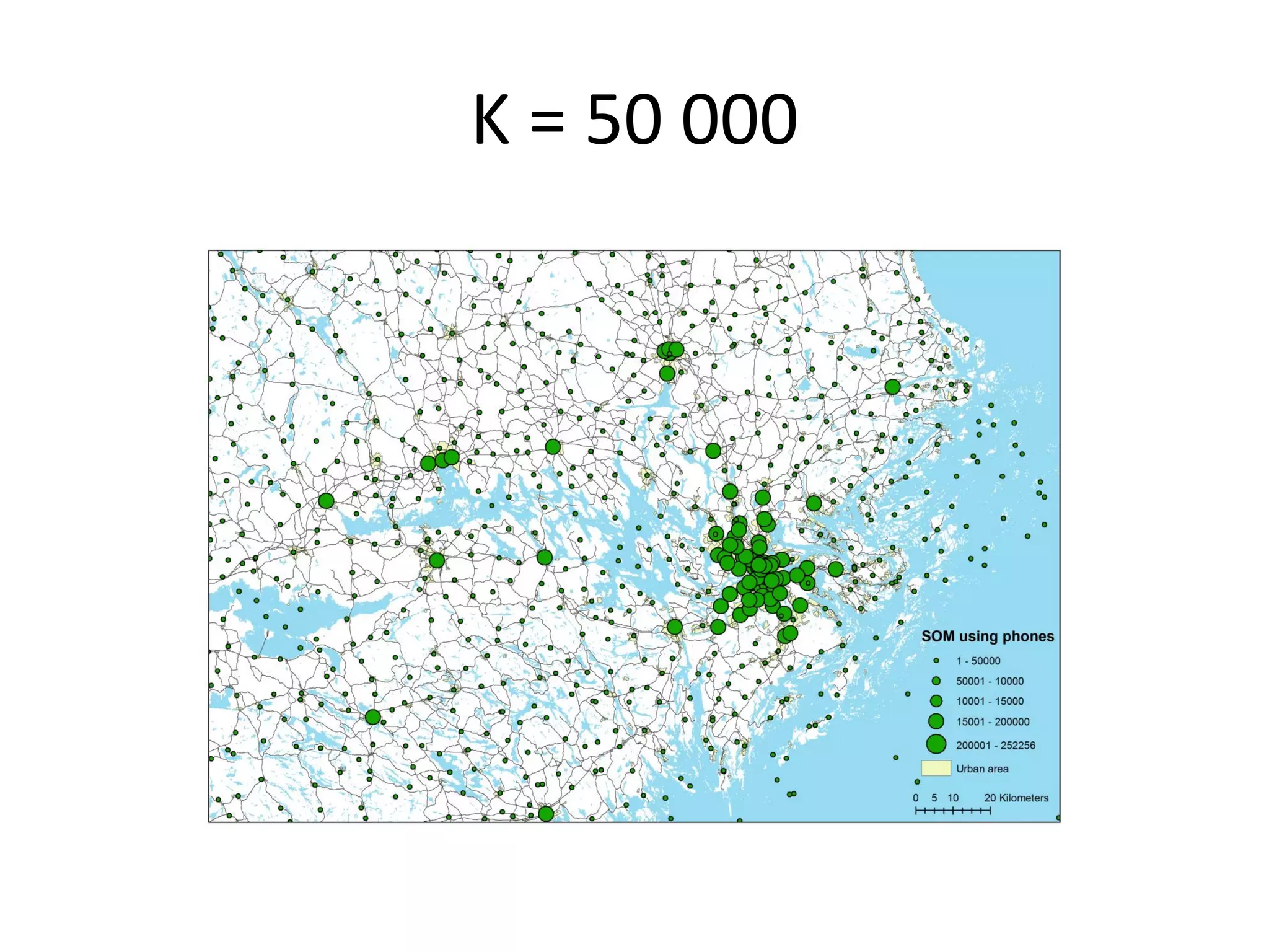

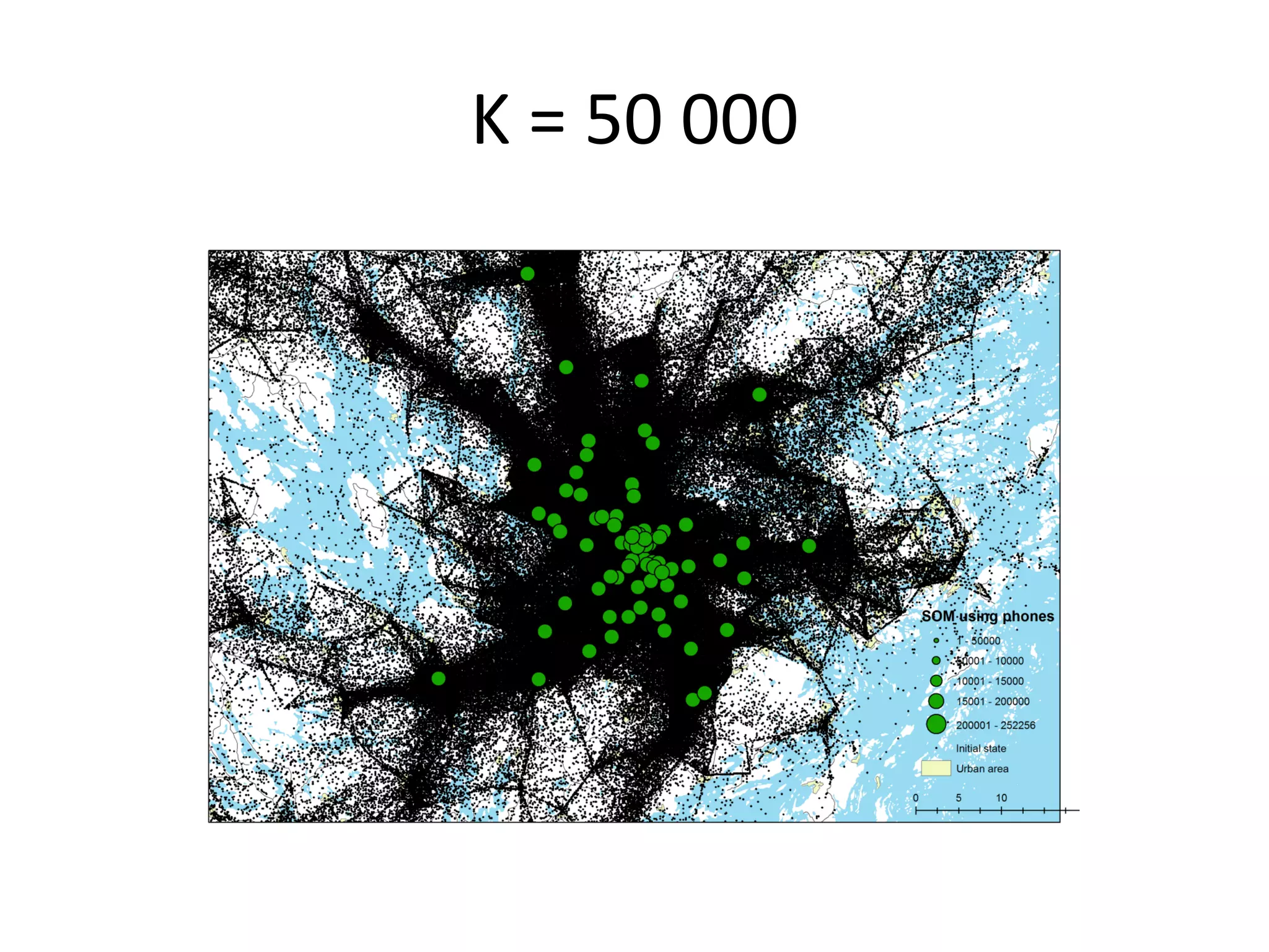
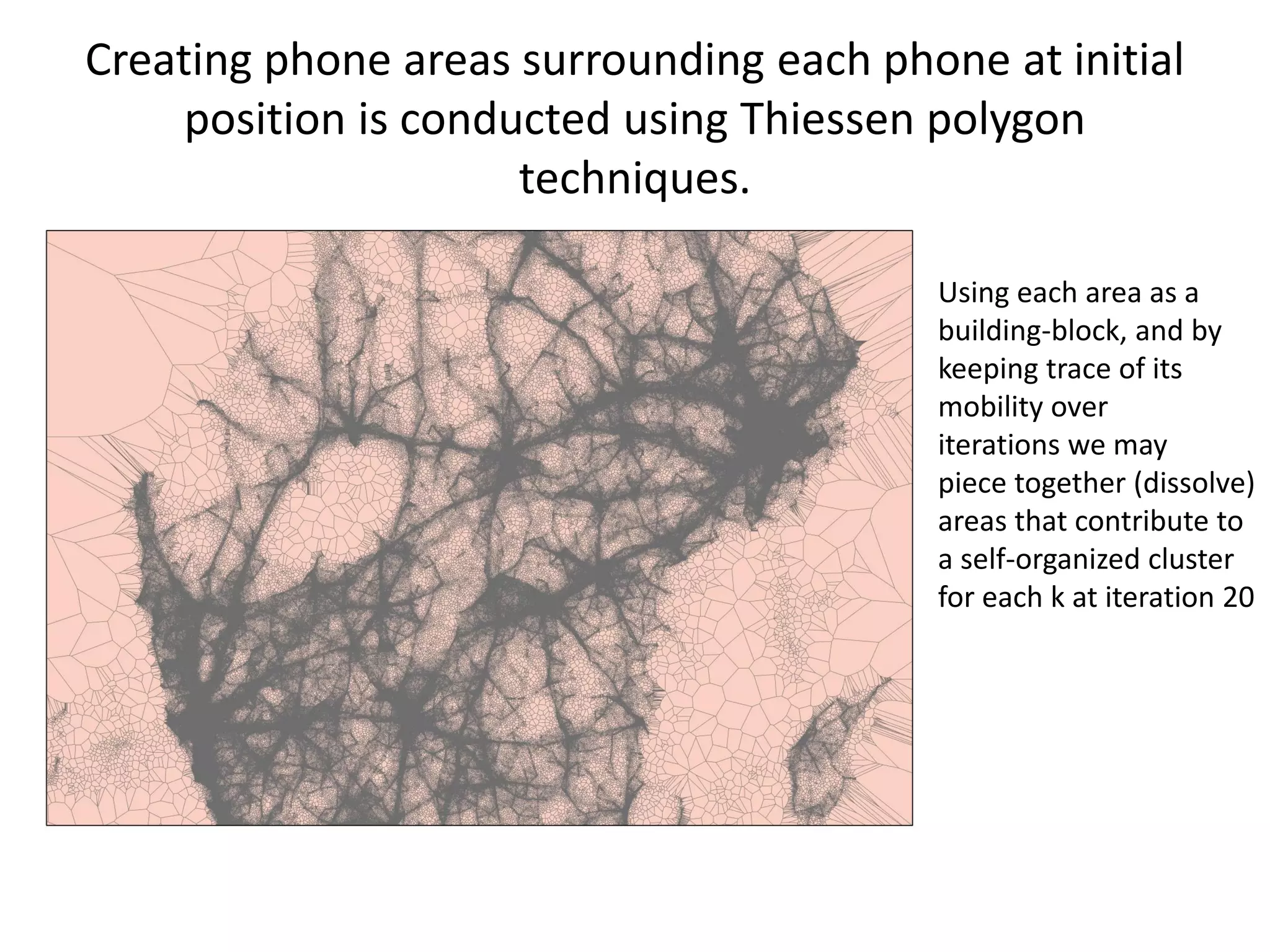
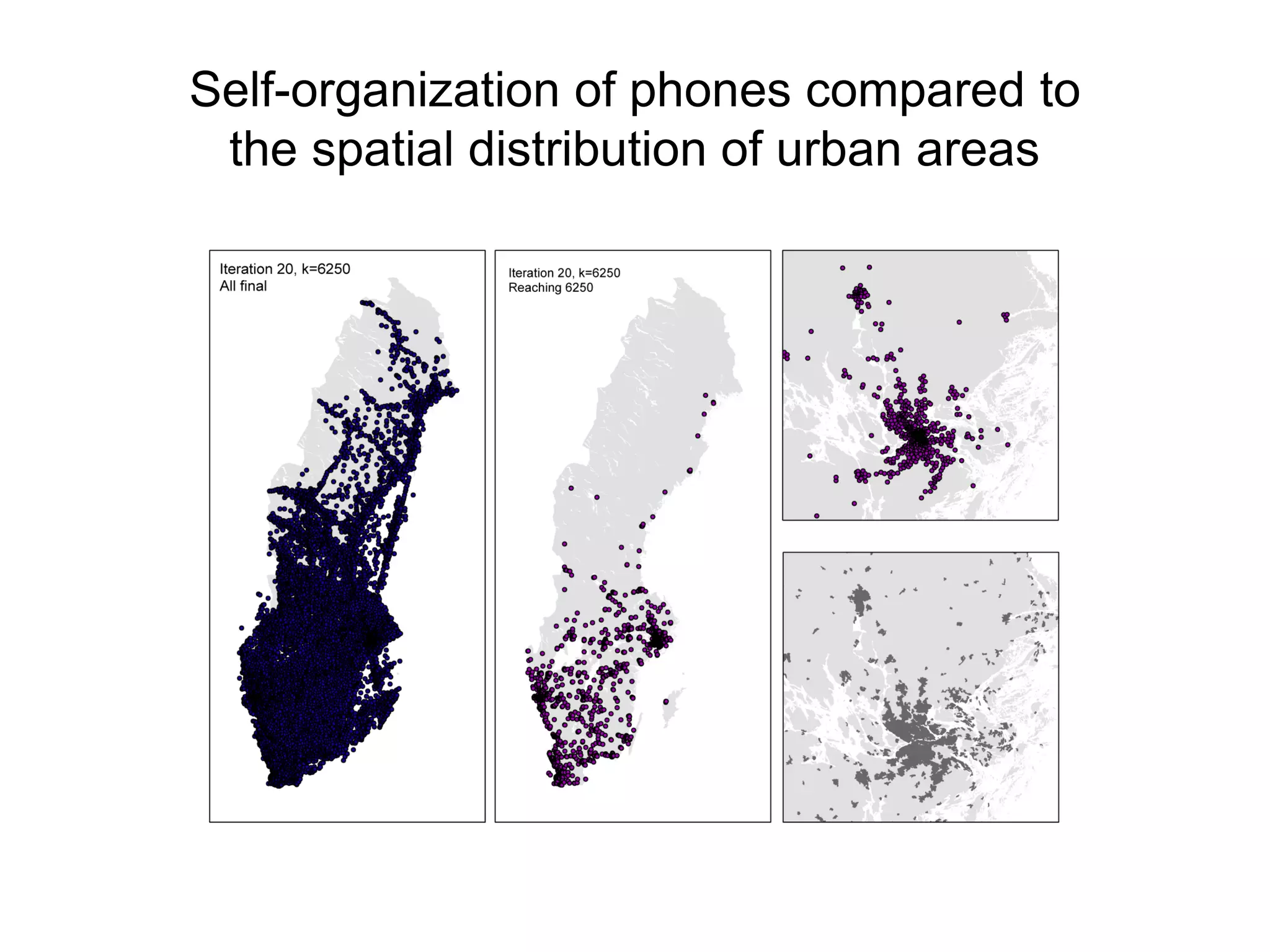
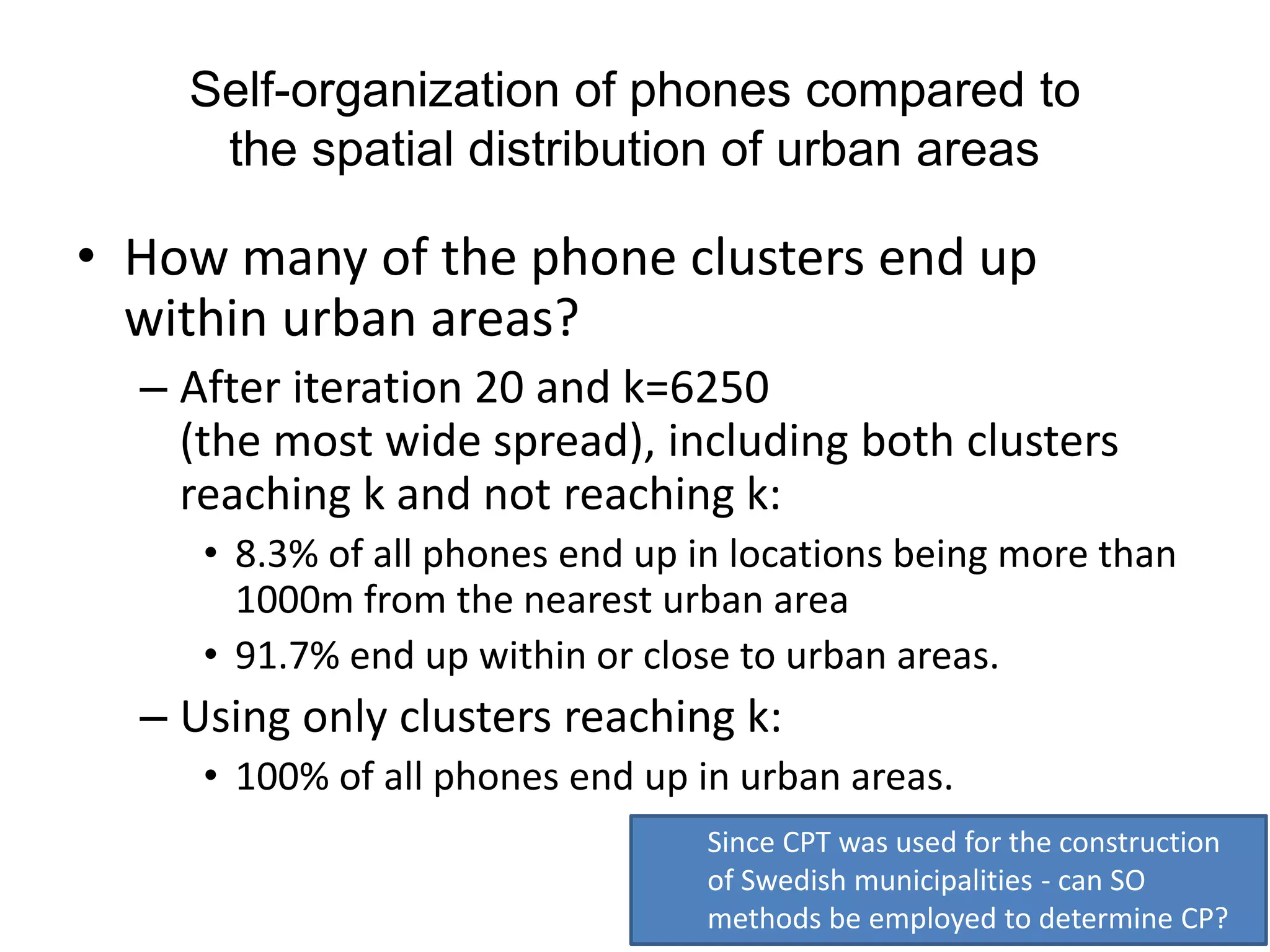
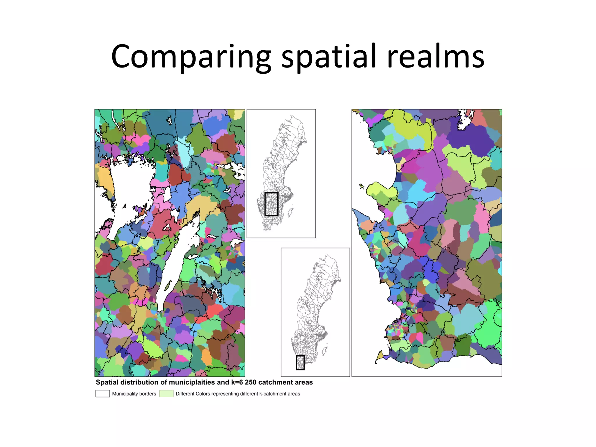
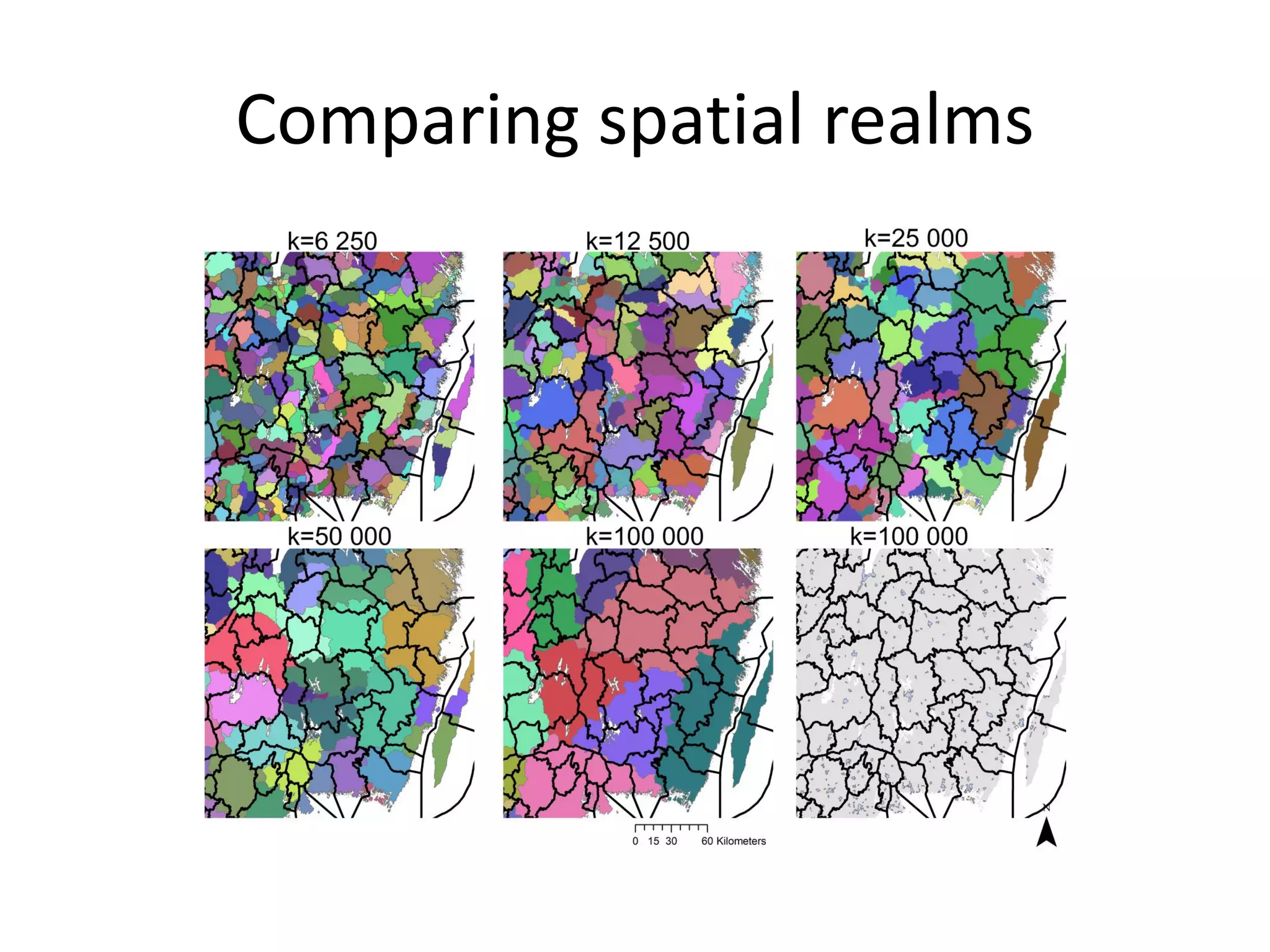
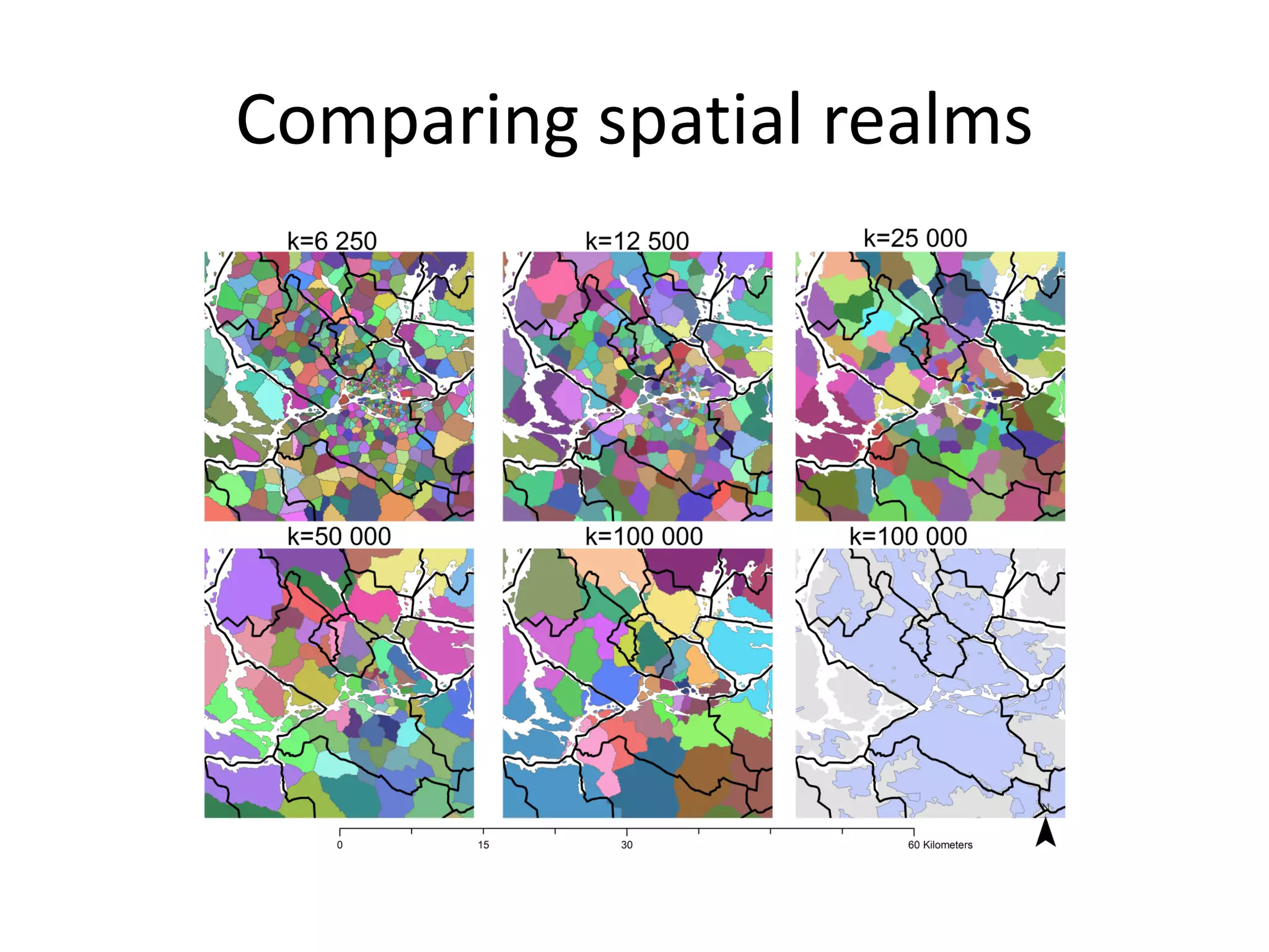
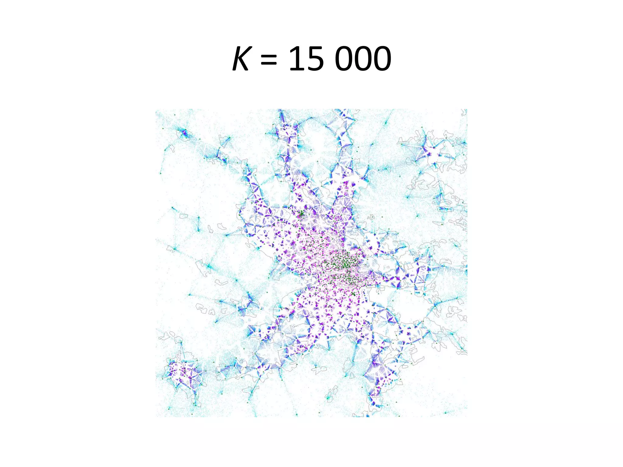
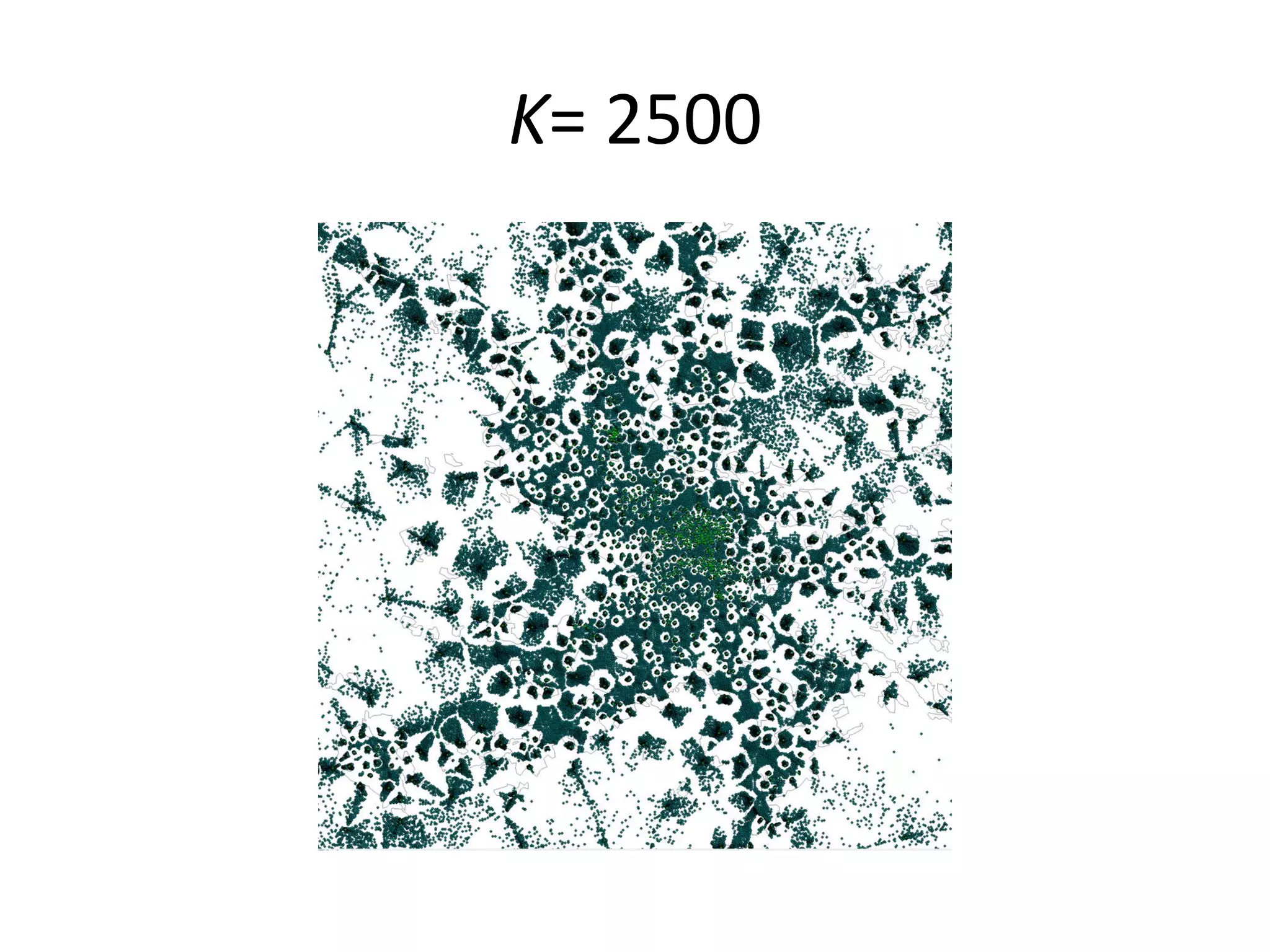

The document discusses urban and regional resilience utilizing self-organization methods to analyze spatial patterns, specifically using mobile phone data and GIS data. It emphasizes the inadequacies in current geographical boundaries of urban areas and presents a method where mobile phones are clustered to determine functional regions. The results indicate that self-organization can effectively delineate functional regions and suggest potential applications for understanding urban dynamics.