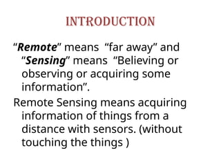
INTRODUCTION
“Remote” means “faraway” and
“Sensing” means “Believing or
observing or acquiring some
information”.
Remote Sensing means acquiring
information of things from a
distance with sensors. (without
touching the things )
4.
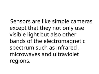
Sensors are likesimple cameras
except that they not only use
visible light but also other
bands of the electromagnetic
spectrum such as infrared ,
microwaves and ultraviolet
regions.
5.
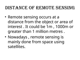
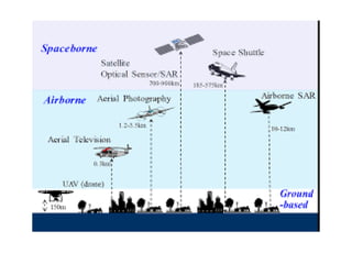
Distance of remotesensing
• Remote sensing occurs at a
distance from the object or area of
interest . It could be 1m , 1000m or
greater than 1 million metres .
• Nowadays , remote sensing is
mainly done from space using
satellites.
6.
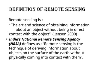
Definition of remotesensing
Remote sensing is :
“ The art and science of obtaining information
about an object without being in direct
contact with the object”. ( Jensen 2000)
• India’s National Remote Sensing Agency
(NRSA) defines as : “Remote sensing is the
technique of deriving information about
objects on the surface of the earth without
physically coming into contact with them”.
7.
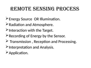
REMOTE SENSING PROCESS
EnergySource OR Illumination.
Radiation and Atmosphere.
Interaction with the Target.
Recording of Energy by the Sensor.
Transmission , Reception and Processing.
Interpretation and Analysis.
Application.
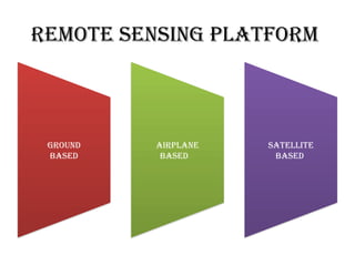
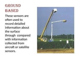
GROUND
BASED
These sensors are
oftenused to
record detailed
information about
the surface
through compared
with information
collected from
aircraft or satellite
sensors.
11.
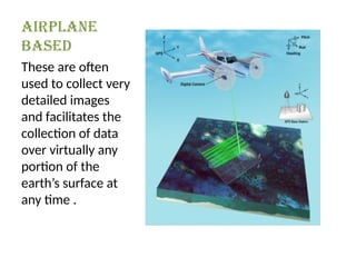
Airplane
Based
These are often
usedto collect very
detailed images
and facilitates the
collection of data
over virtually any
portion of the
earth’s surface at
any time .
In geology
Remotesensing is used as a tool to extract information
about the land surface , composition or subsurface .
Radar provides an expression of surface topography and
roughness .
Geological applications of remote sensing include the
following:
1. Lithological mapping
2. Structural mapping
3. Mineral exploration
4. Bedrock mapping
15.
In mapping
Remote sensingdata helps in create detailed
maps of earth’s surface.
Satellite and aerial vehicles capture image that
reveal land cover , elevation and even the
presence of buildings and roads.
this information is vital for urban planning ,
infrastructure development and resource
management.
16.
In environmental monitoring
Remotesensing is crucial for tracking changes
in the environment.
It allows scientists to monitor deforestation,
track pollution level, assess the health of
forests and oceans, and the impact of climate
changes on various ecosystems.
17.
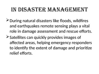
In disaster management
Duringnatural disasters like floods, wildfires
and earthquakes remote sensing plays a vital
role in damage assessment and rescue efforts.
Satellites can quickly provides images of
affected areas, helping emergency responders
to identify the extent of damage and prioritize
relief efforts.
18.
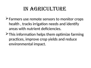
In Agriculture
Farmers useremote sensors to monitor crops
health , tracks irrigation needs and identify
areas with nutrient deficiencies.
This information helps them optimize farming
practices, improve crop yields and reduce
environmental impact.