Download to read offline

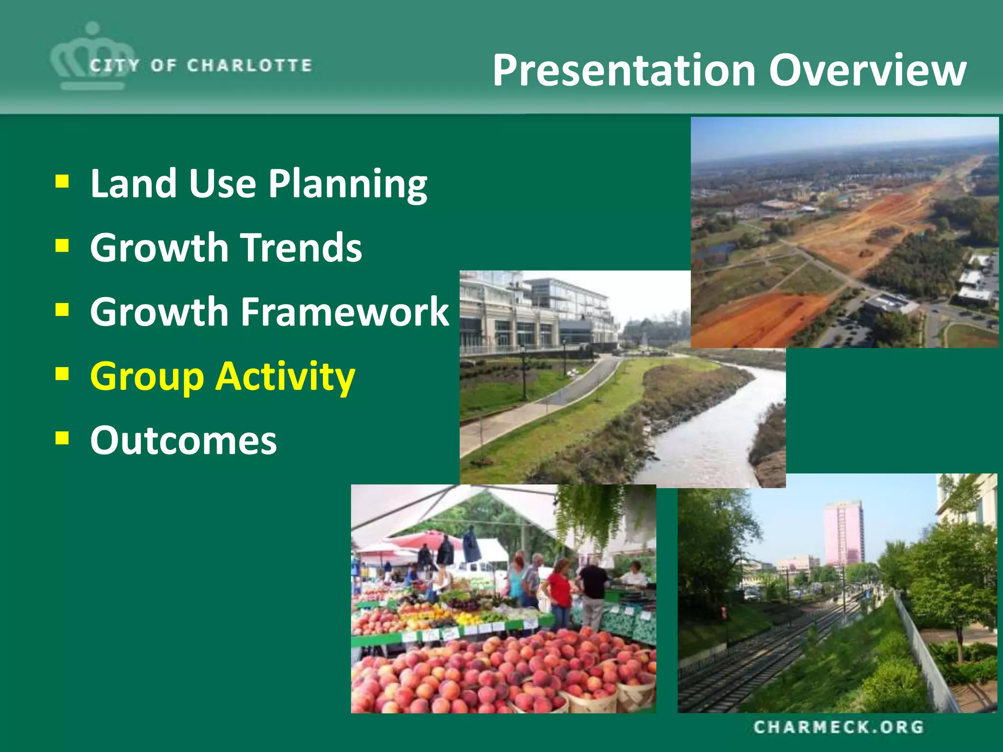
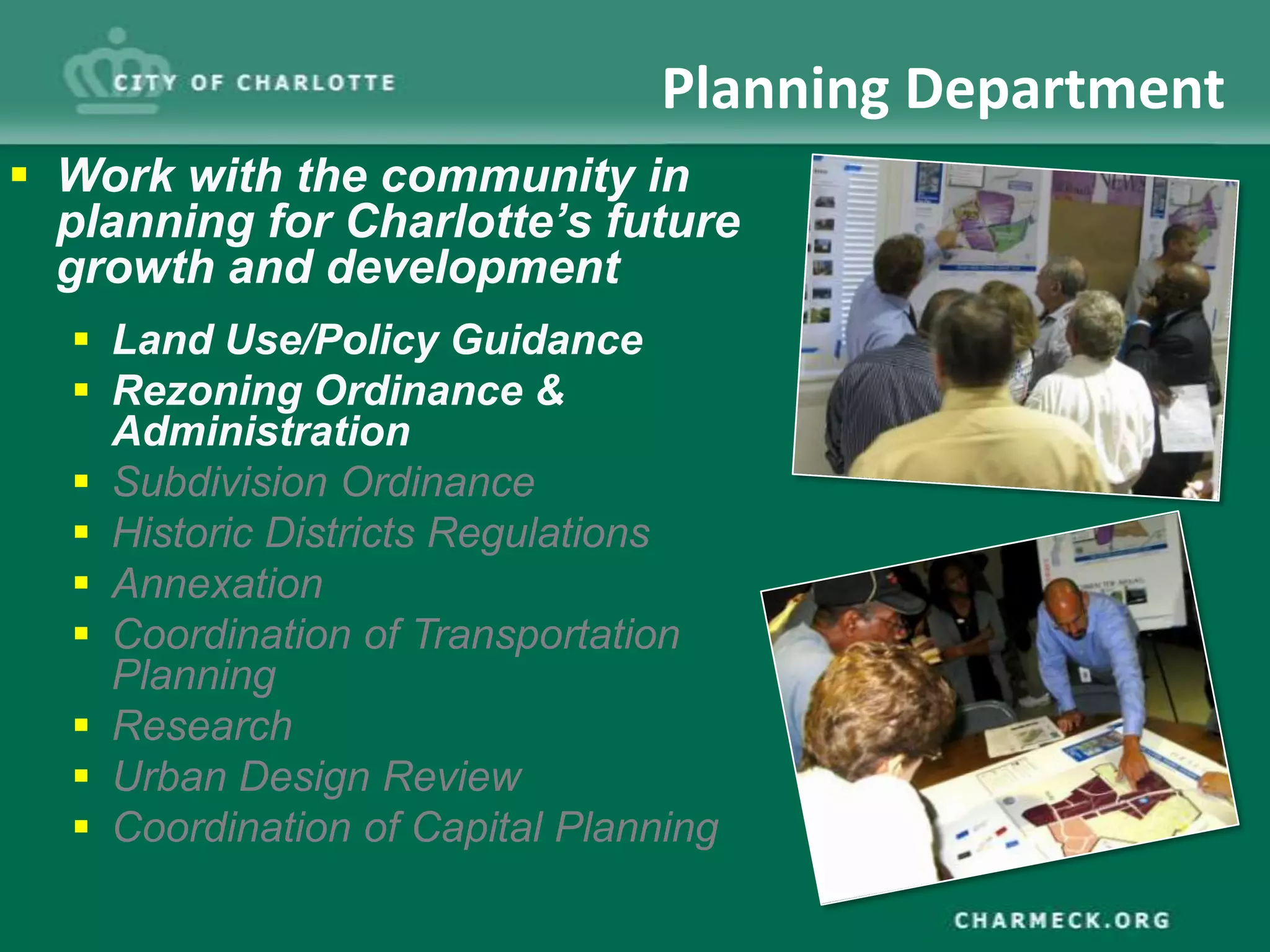
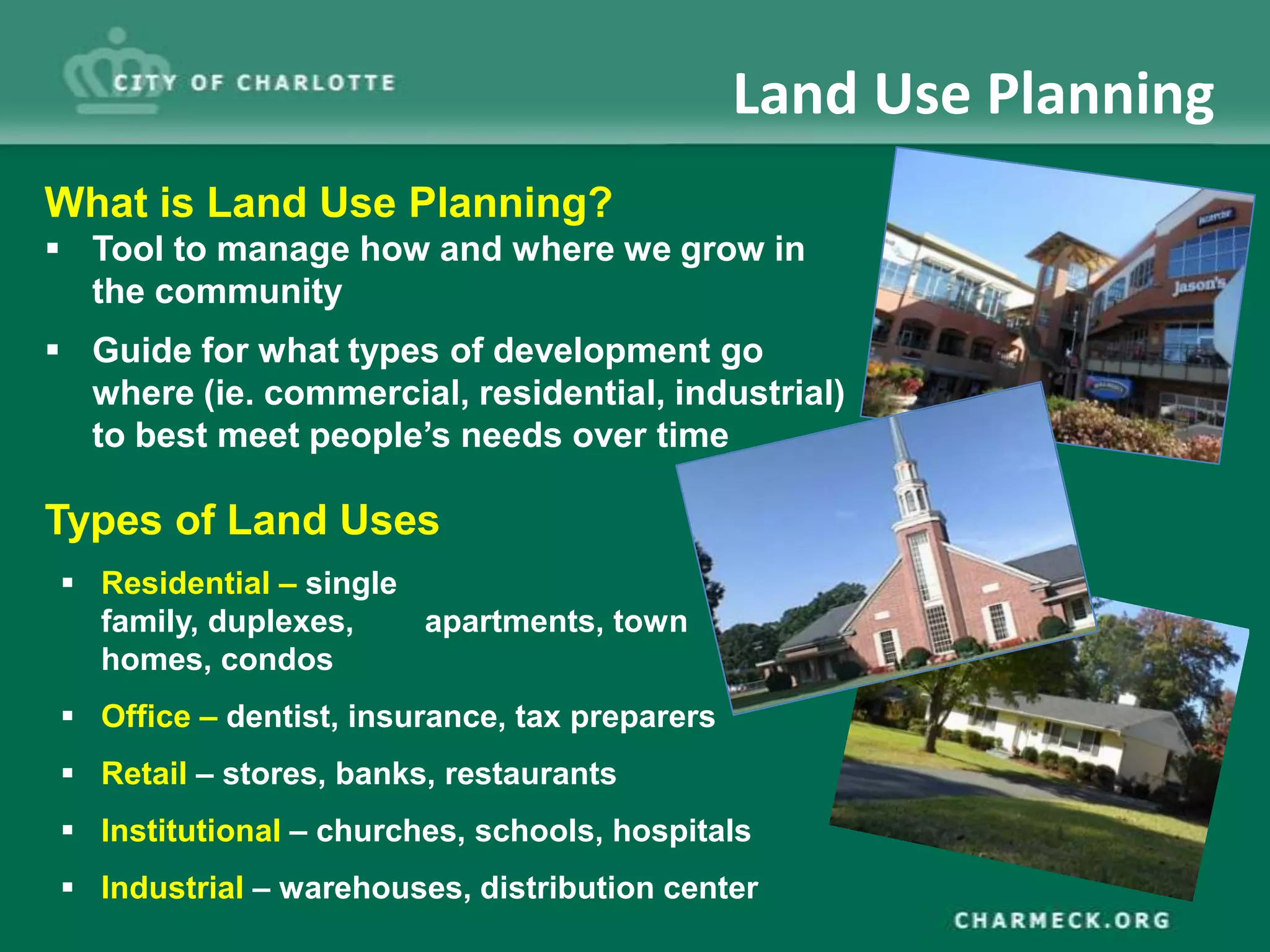
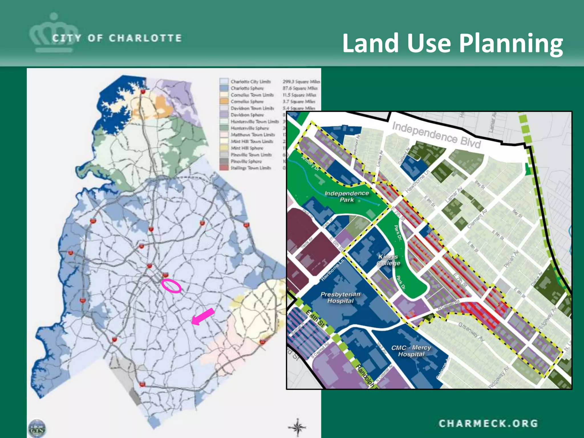
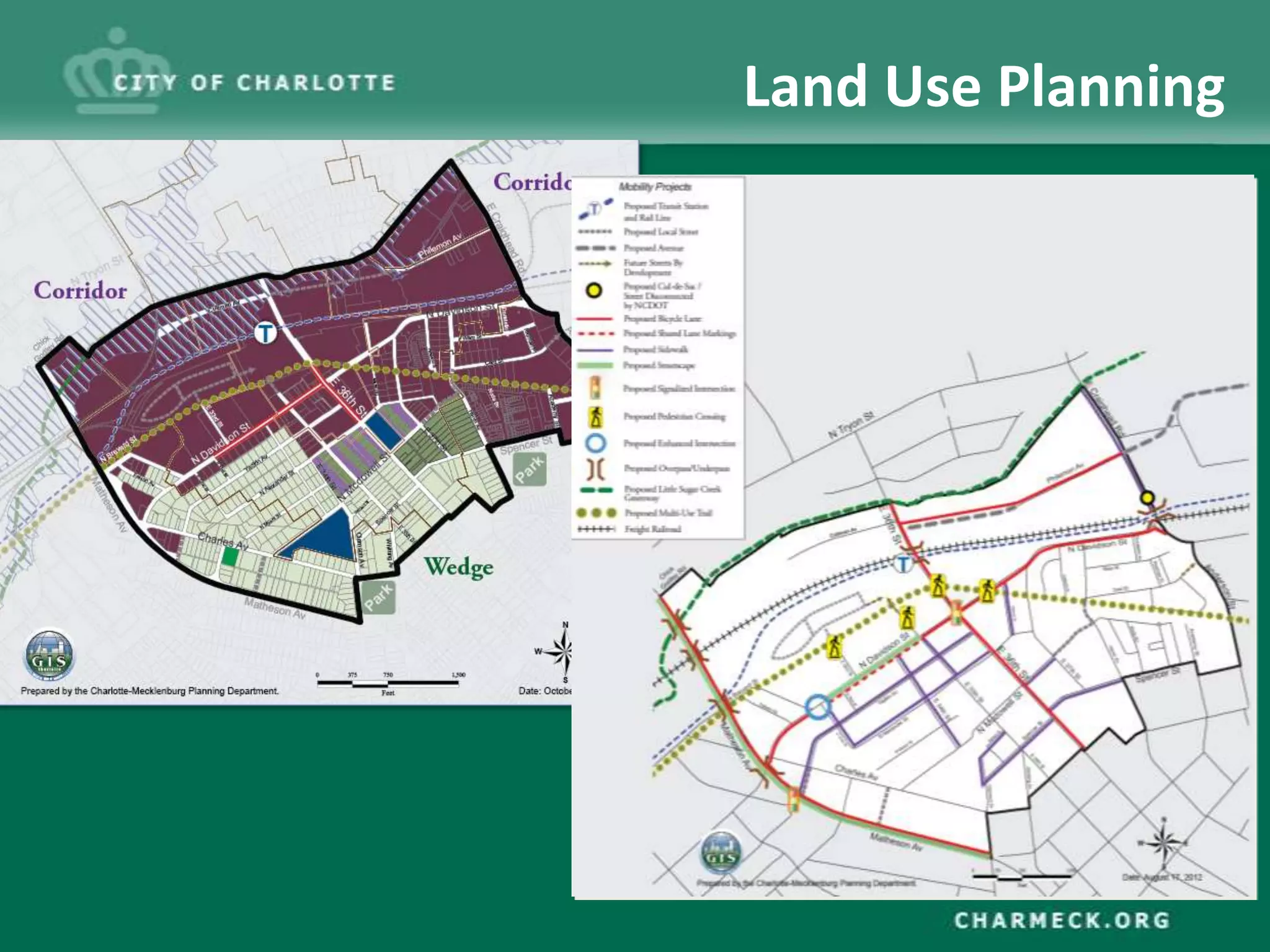
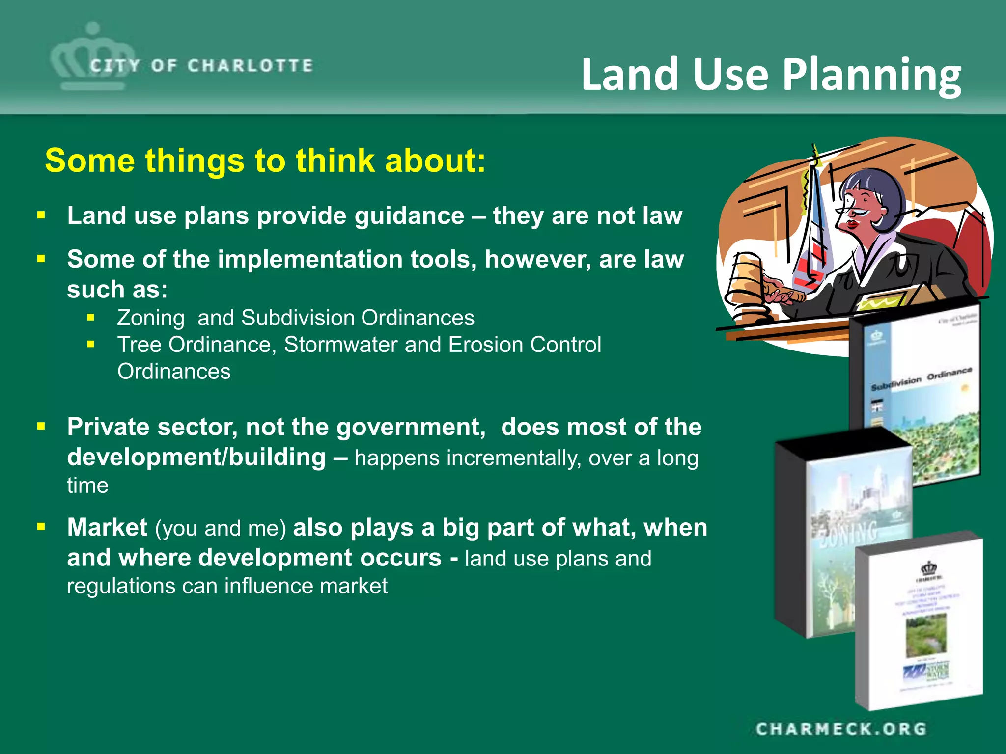
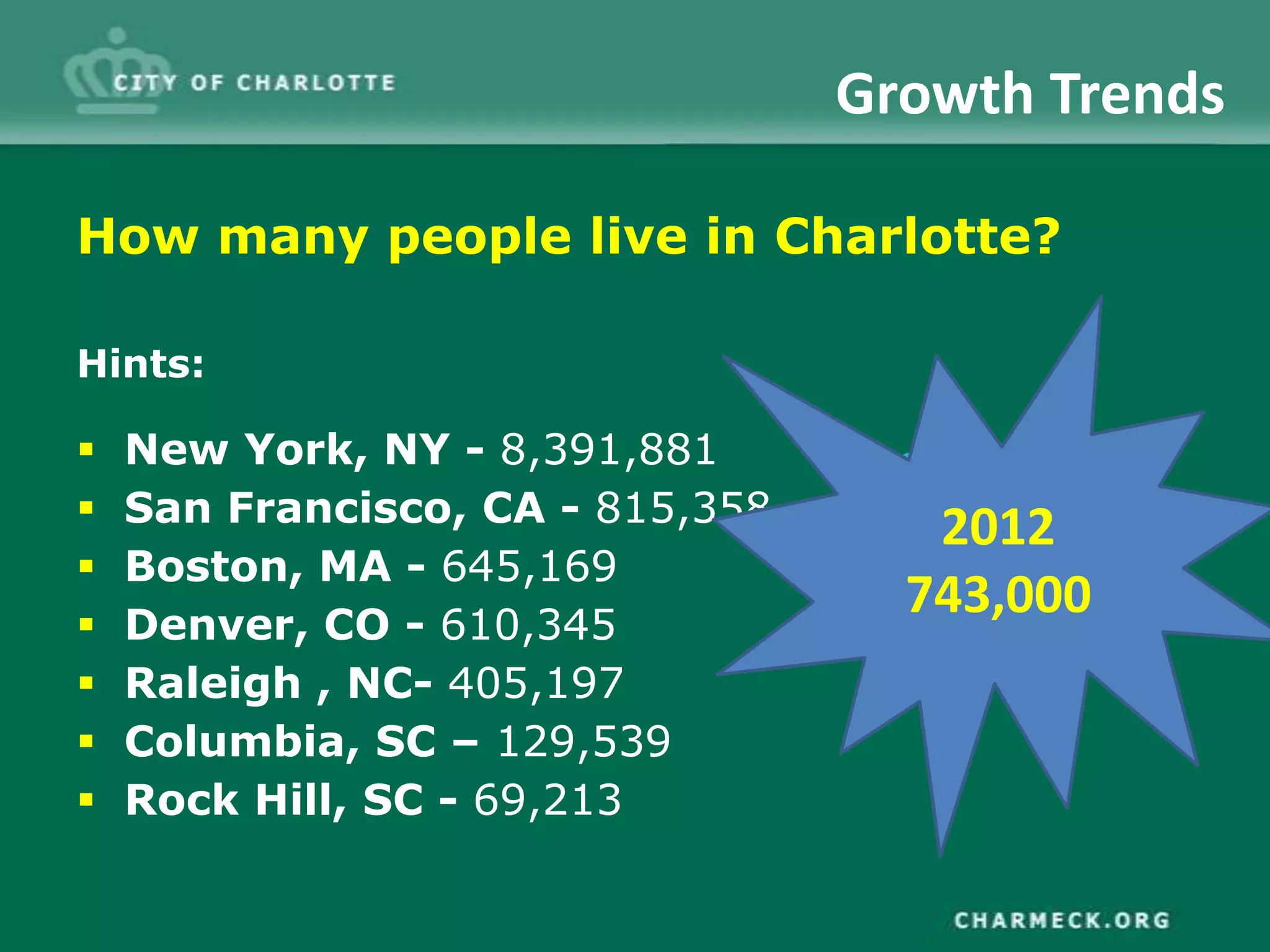
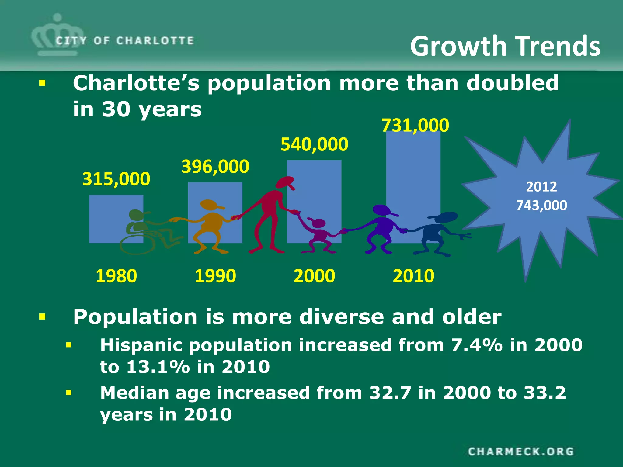
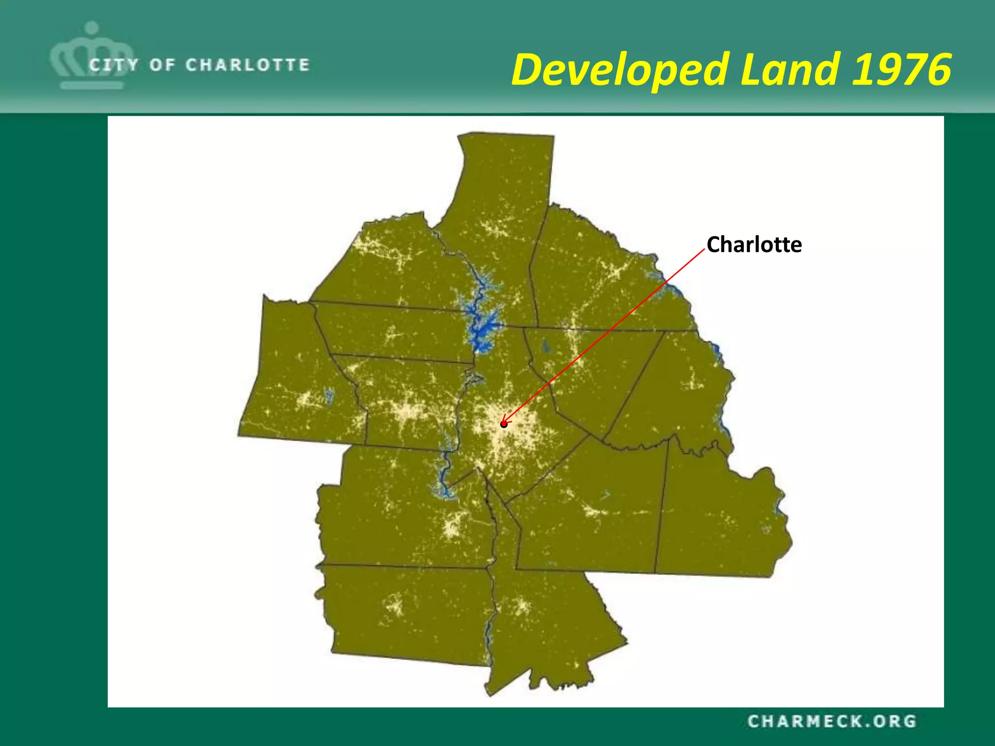
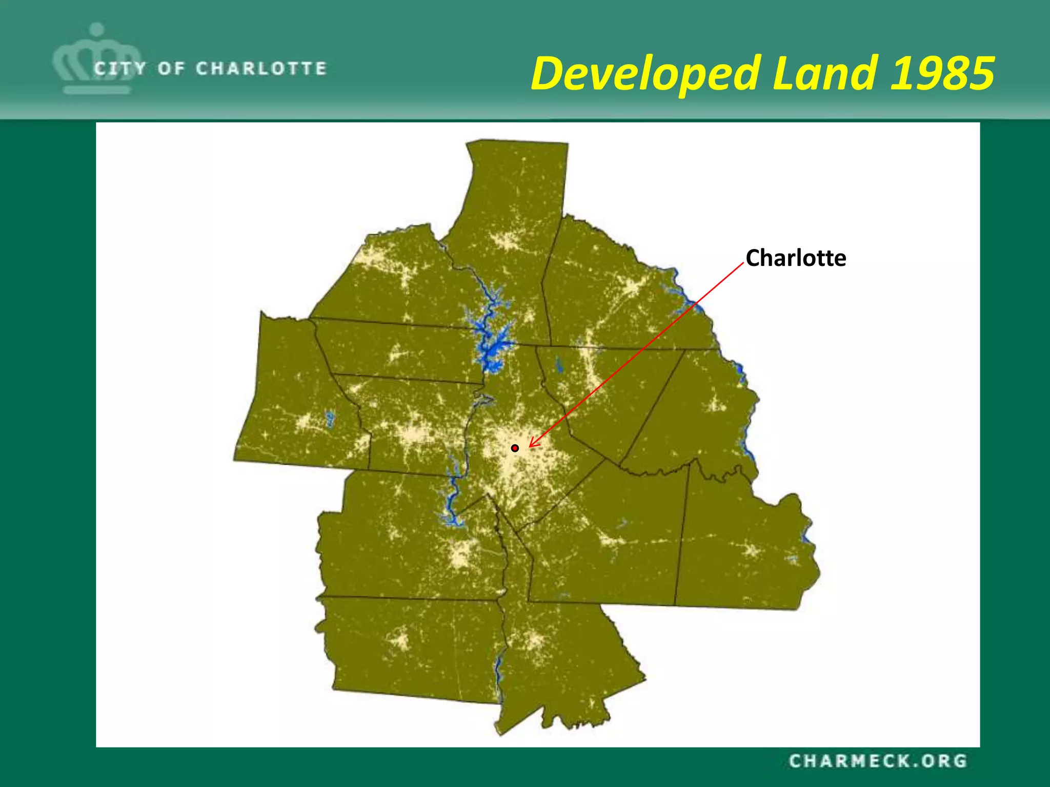
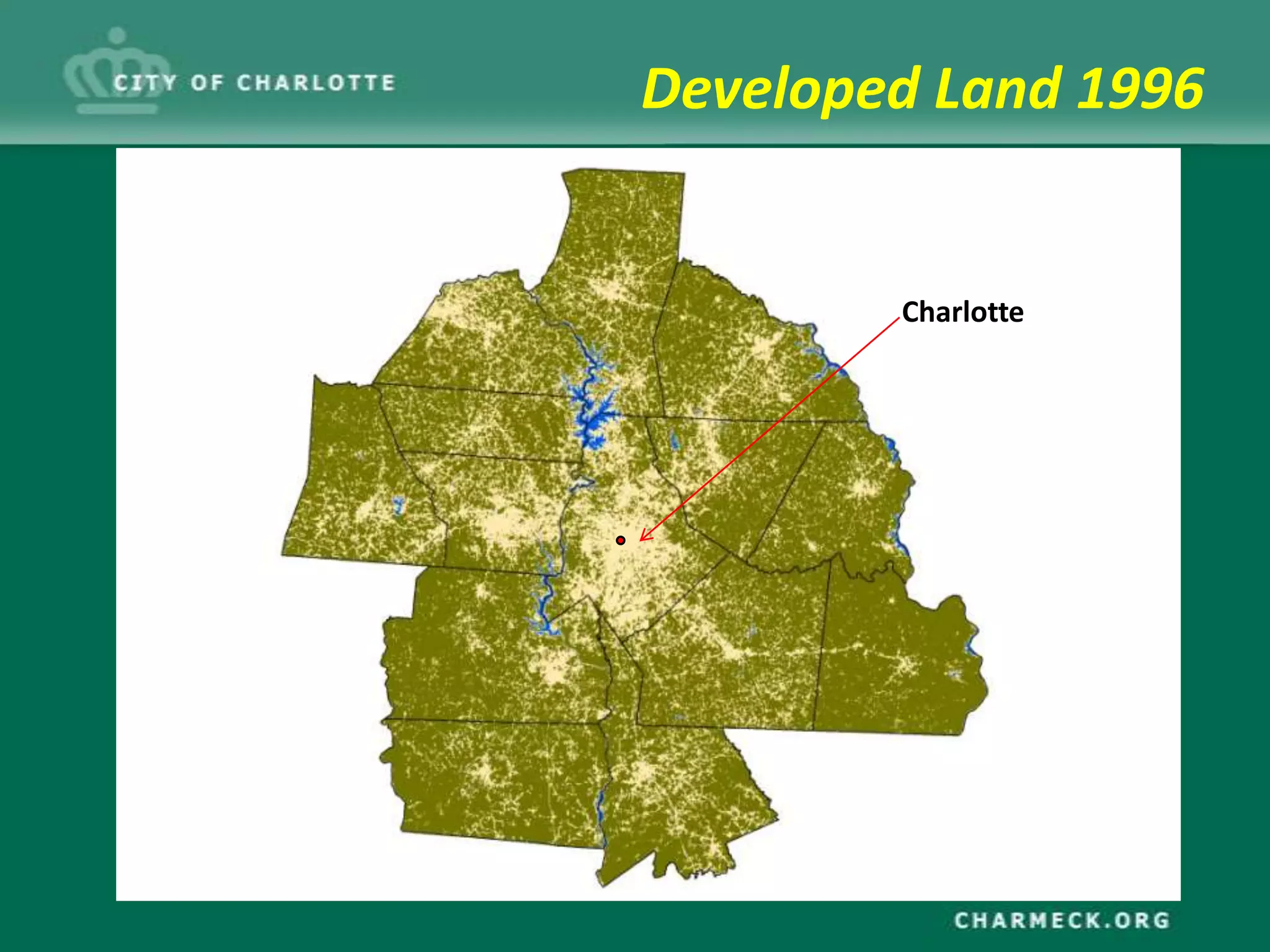
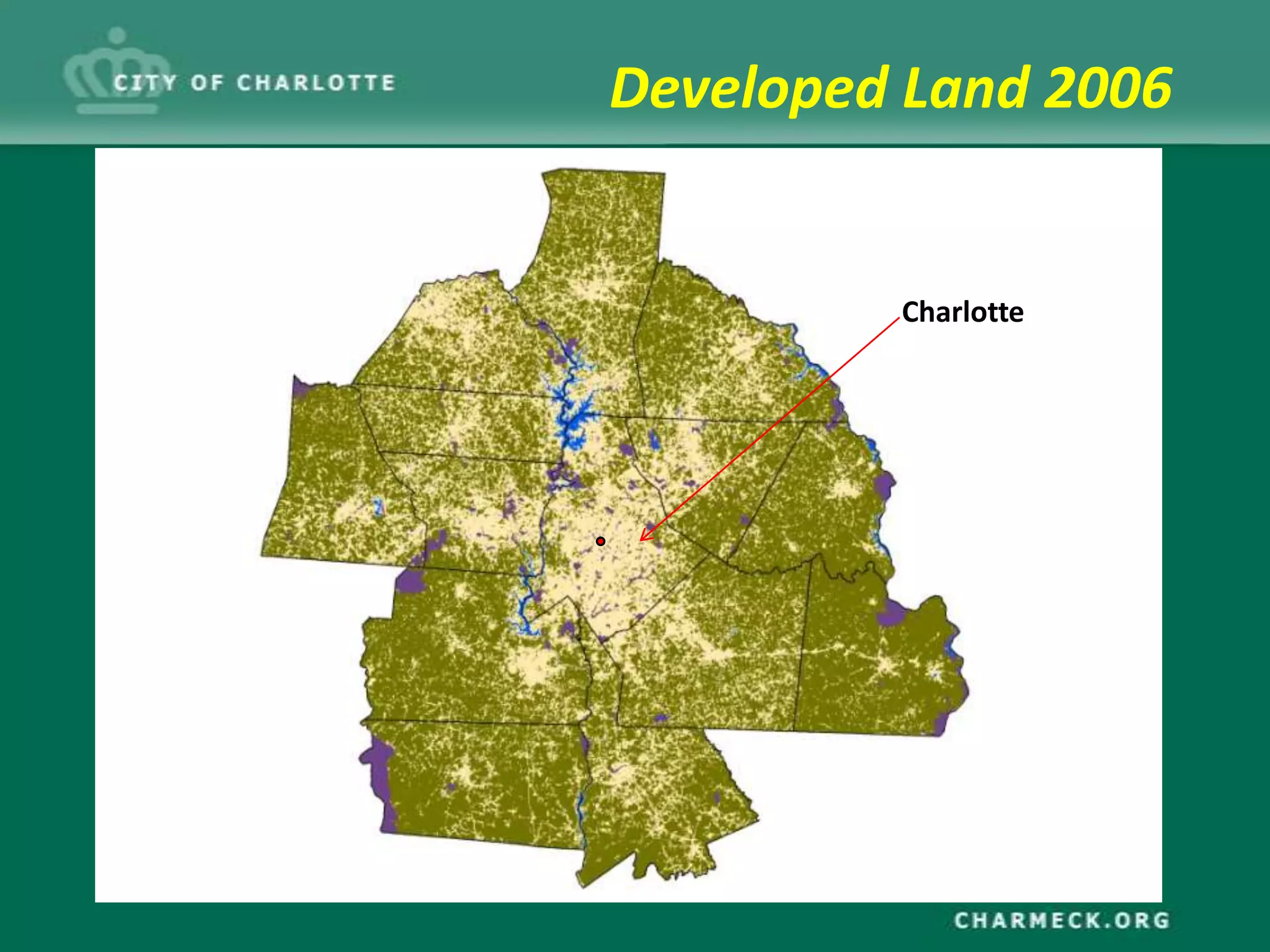

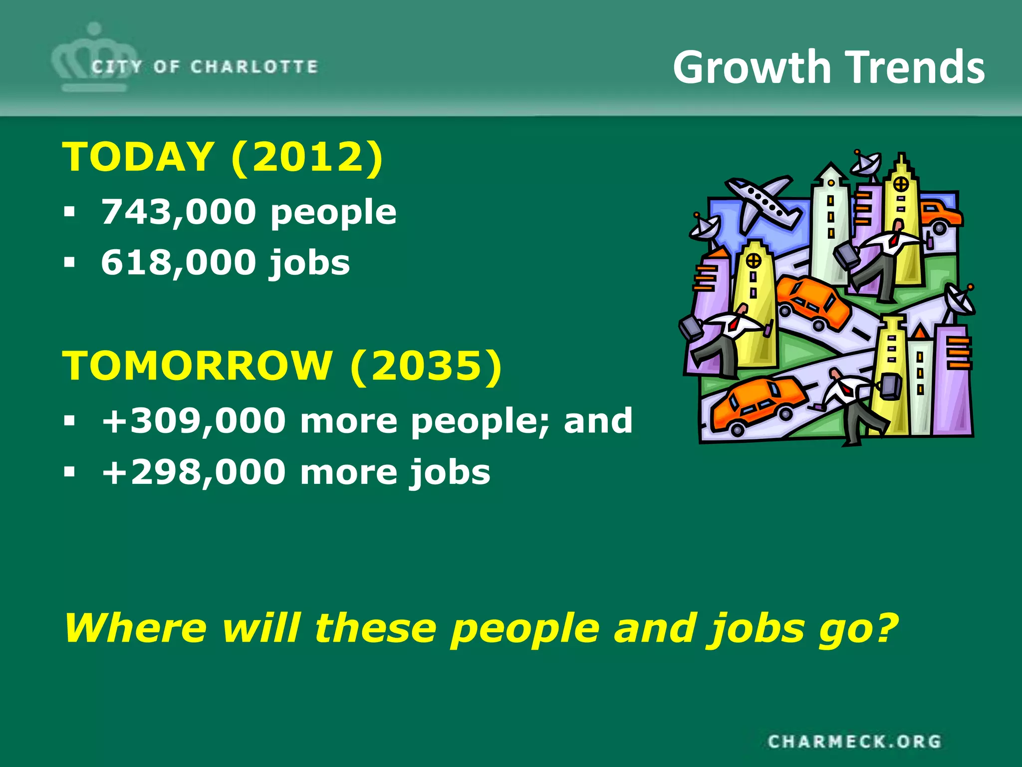
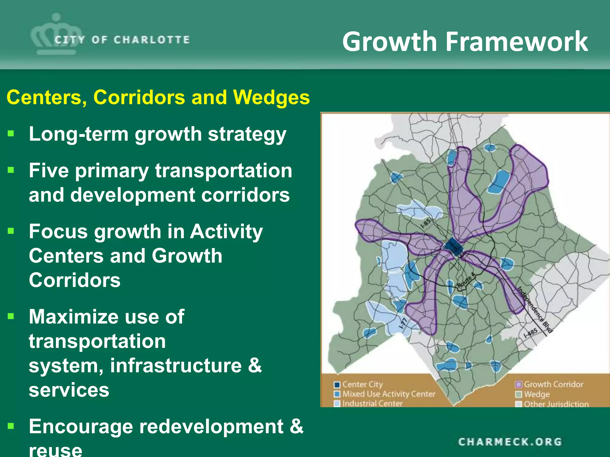
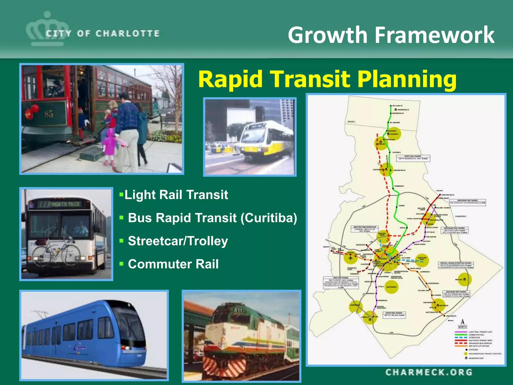


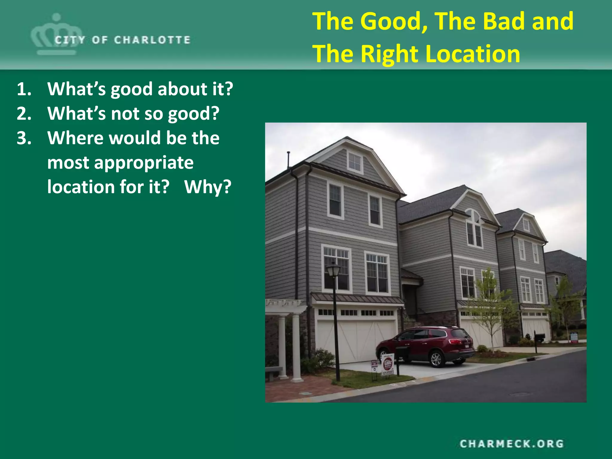


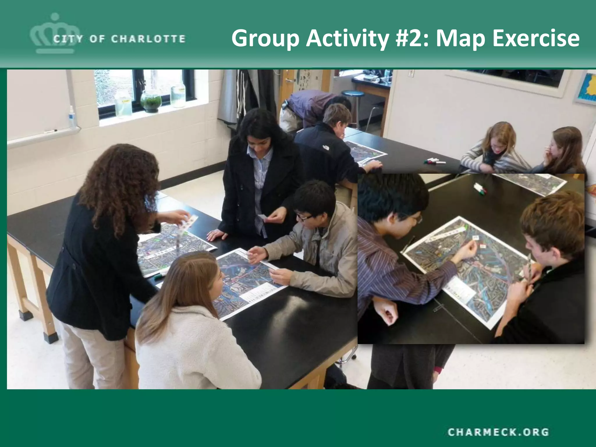
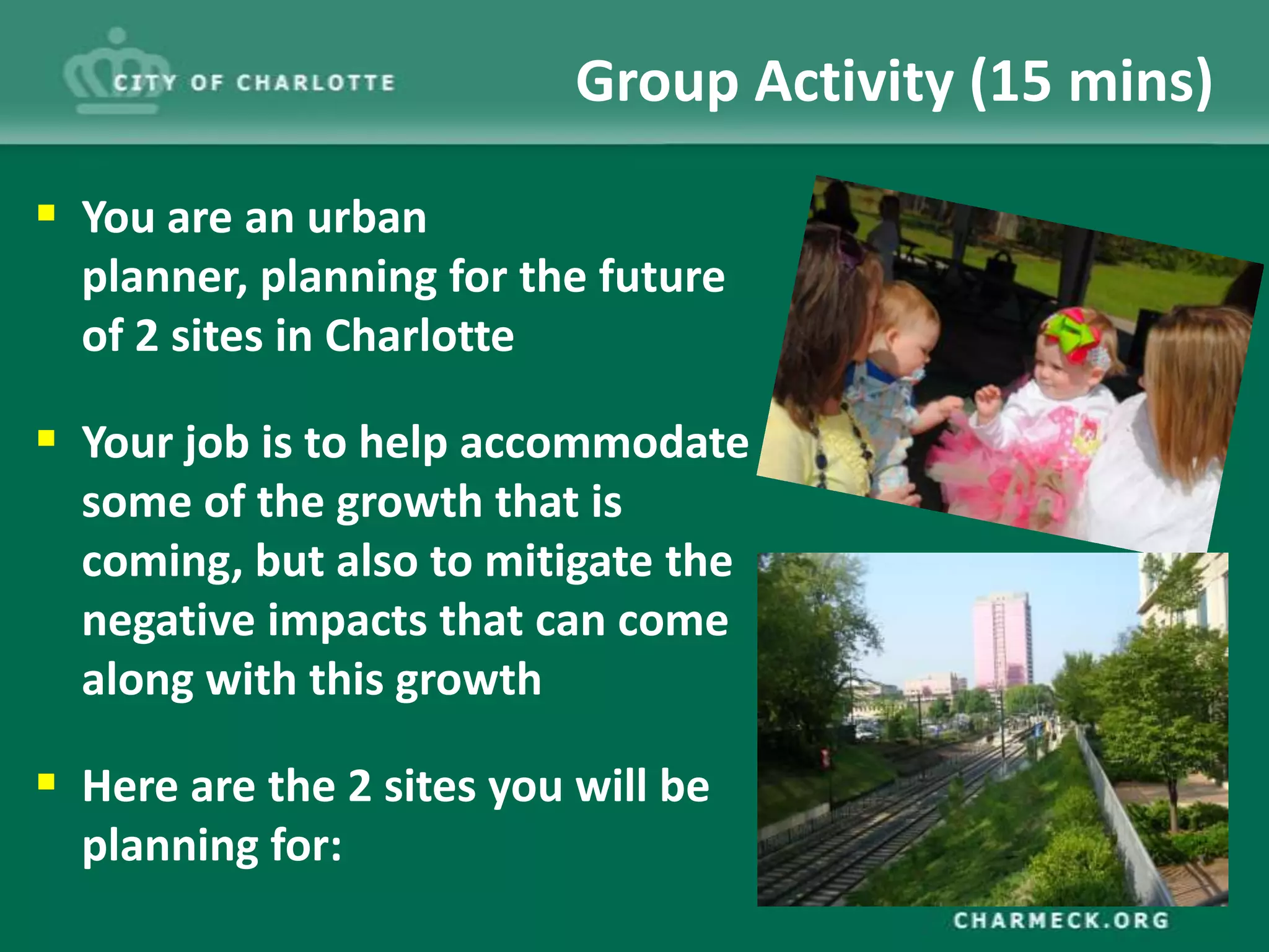


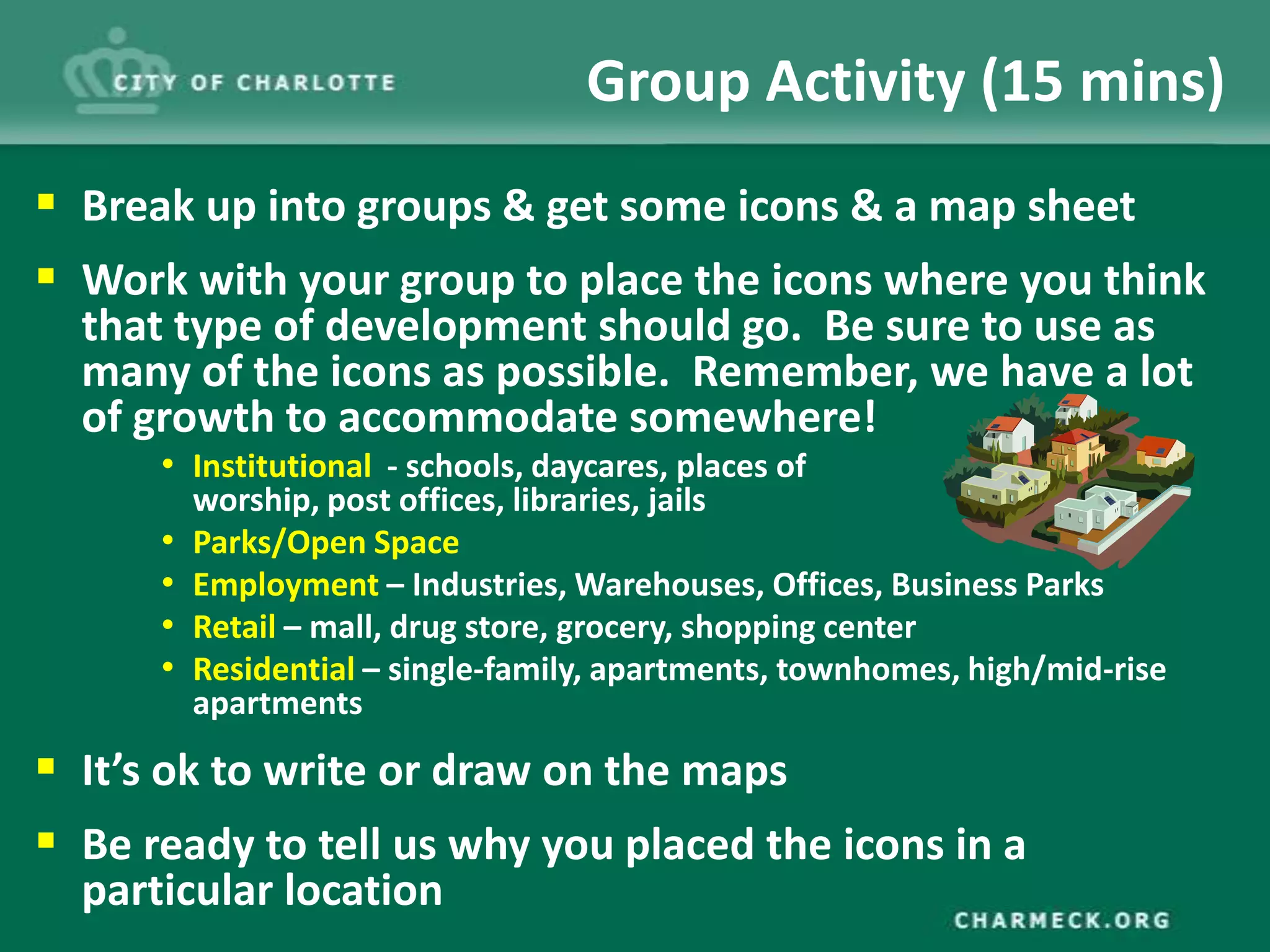


The document outlines the planning strategies for Charlotte's future growth, emphasizing land use planning that guides development types, including residential, commercial, and industrial segments. It highlights the significant population increase and diversity trends from 1980 to 2012, along with strategies for accommodating future growth while promoting environmental sustainability. The presentation includes group activities focused on evaluating development locations and urban planning exercises to address anticipated growth impacts.