Download to read offline


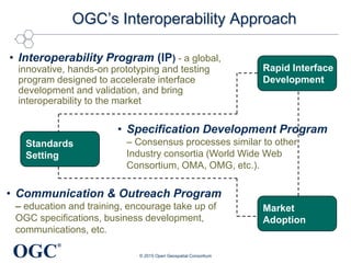
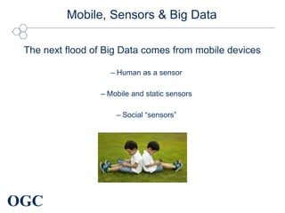


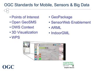

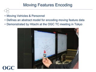
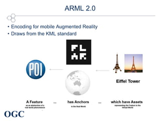
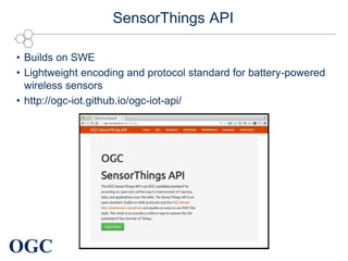
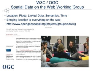
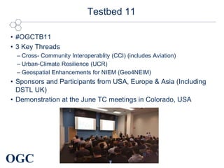


The document discusses upcoming developments in geospatial standards from the Open Geospatial Consortium (OGC). It outlines new standards being developed for encoding mobile and sensor data, including a standard for encoding moving features, an updated Augmented Reality Markup Language, and a SensorThings API. It also discusses upcoming OGC events focused on mobile, sensors, and big data standards, and collaboration with the W3C on representing spatial data on the web.


