Download to read offline

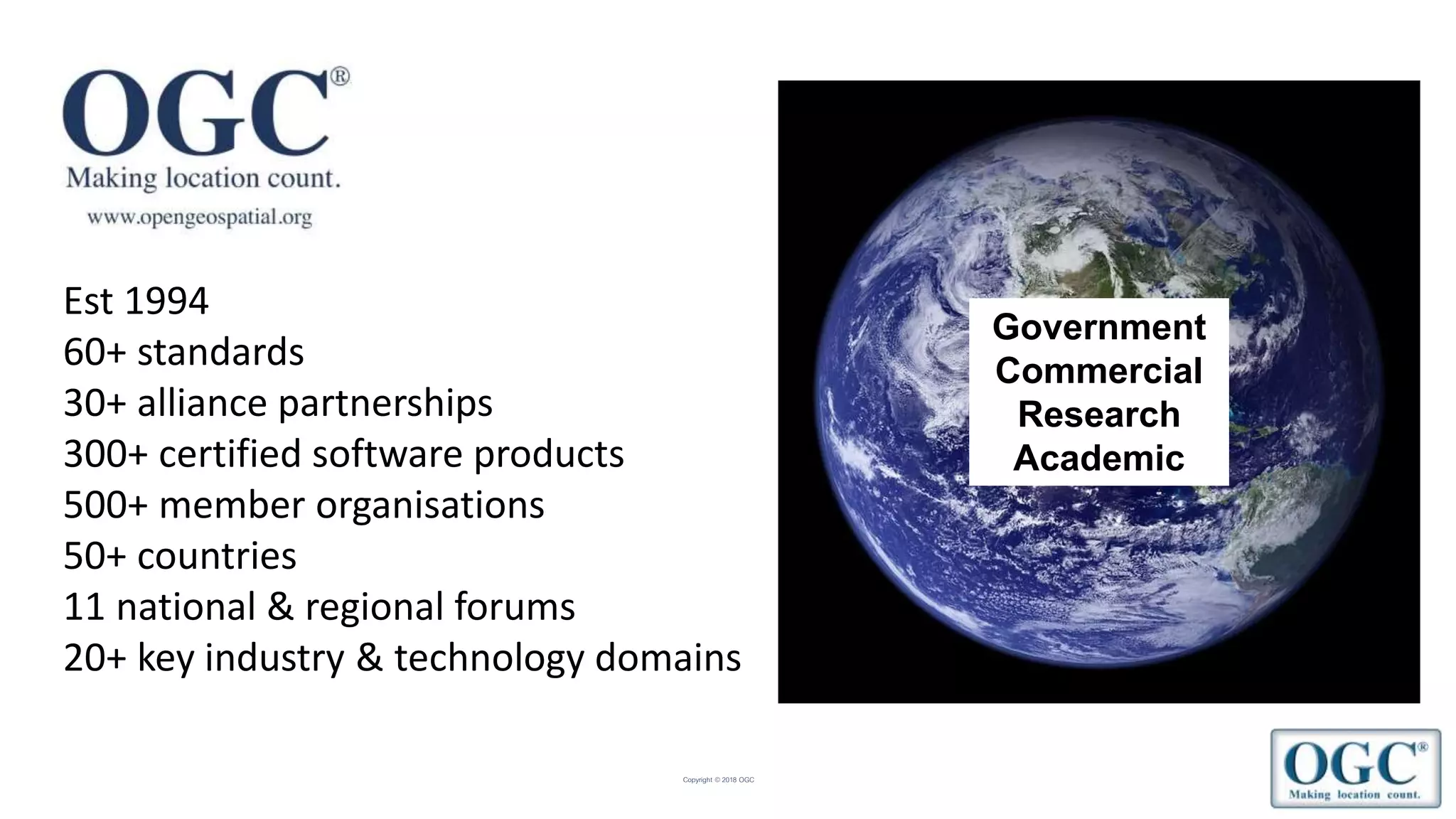

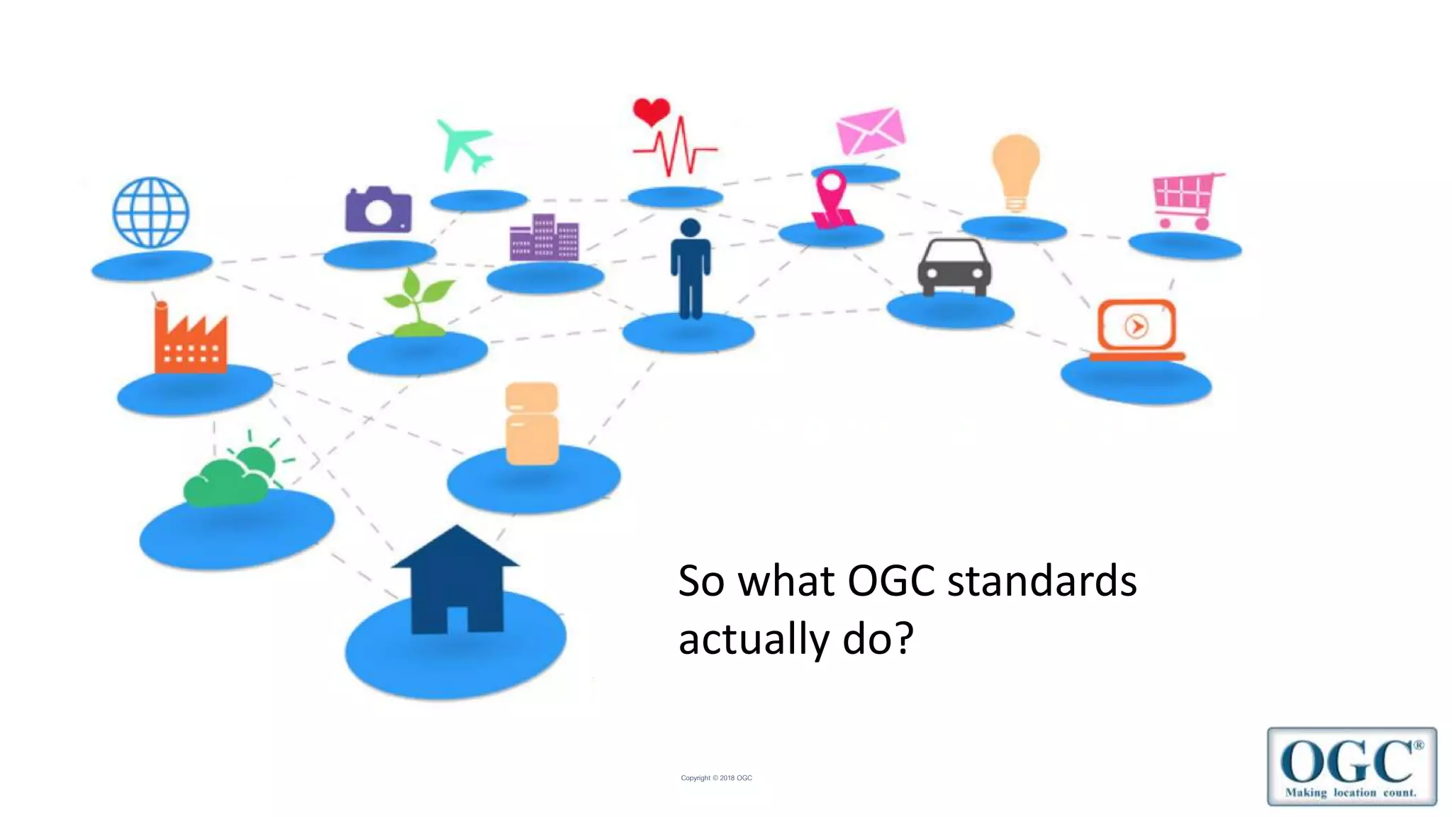
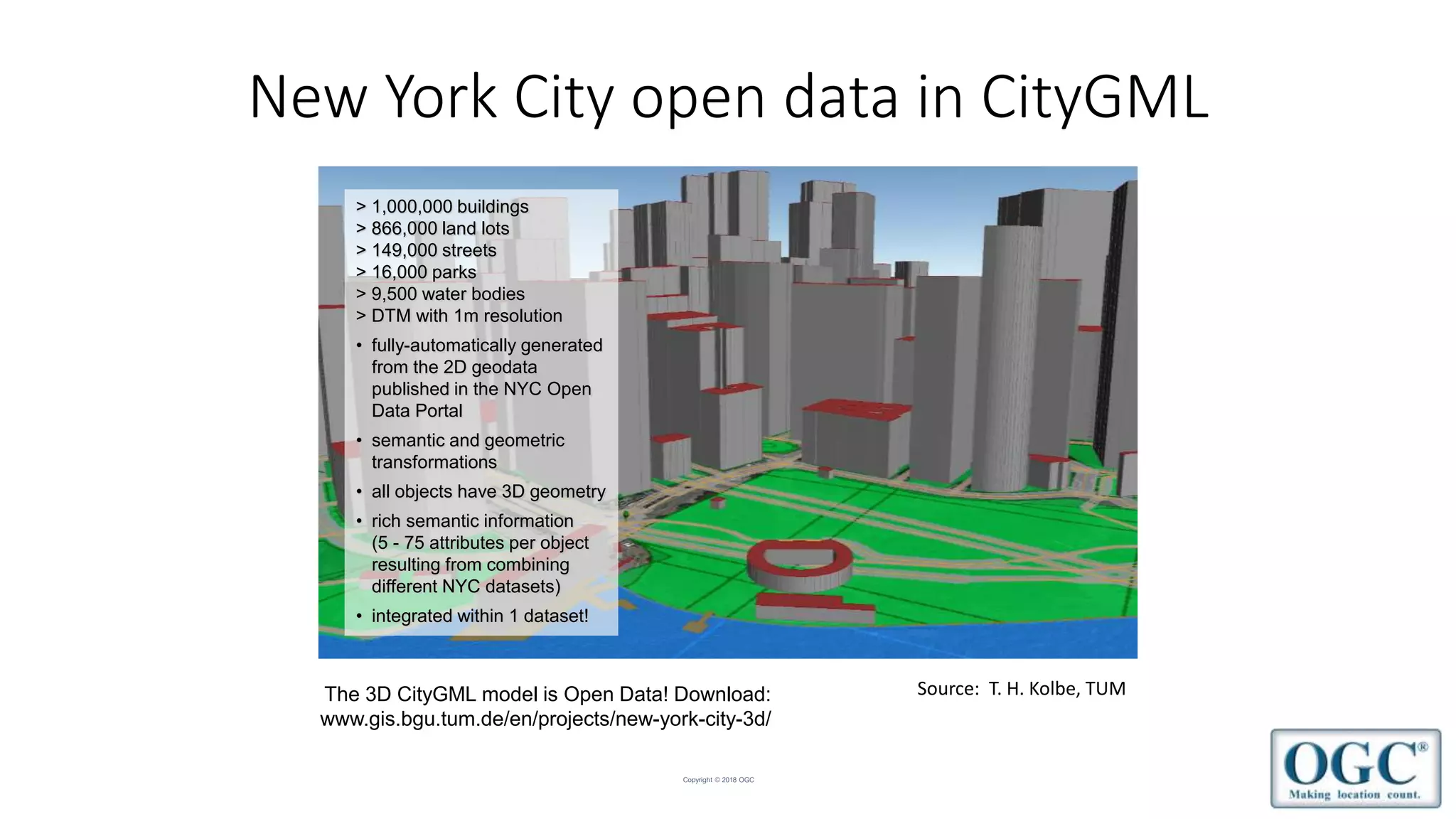
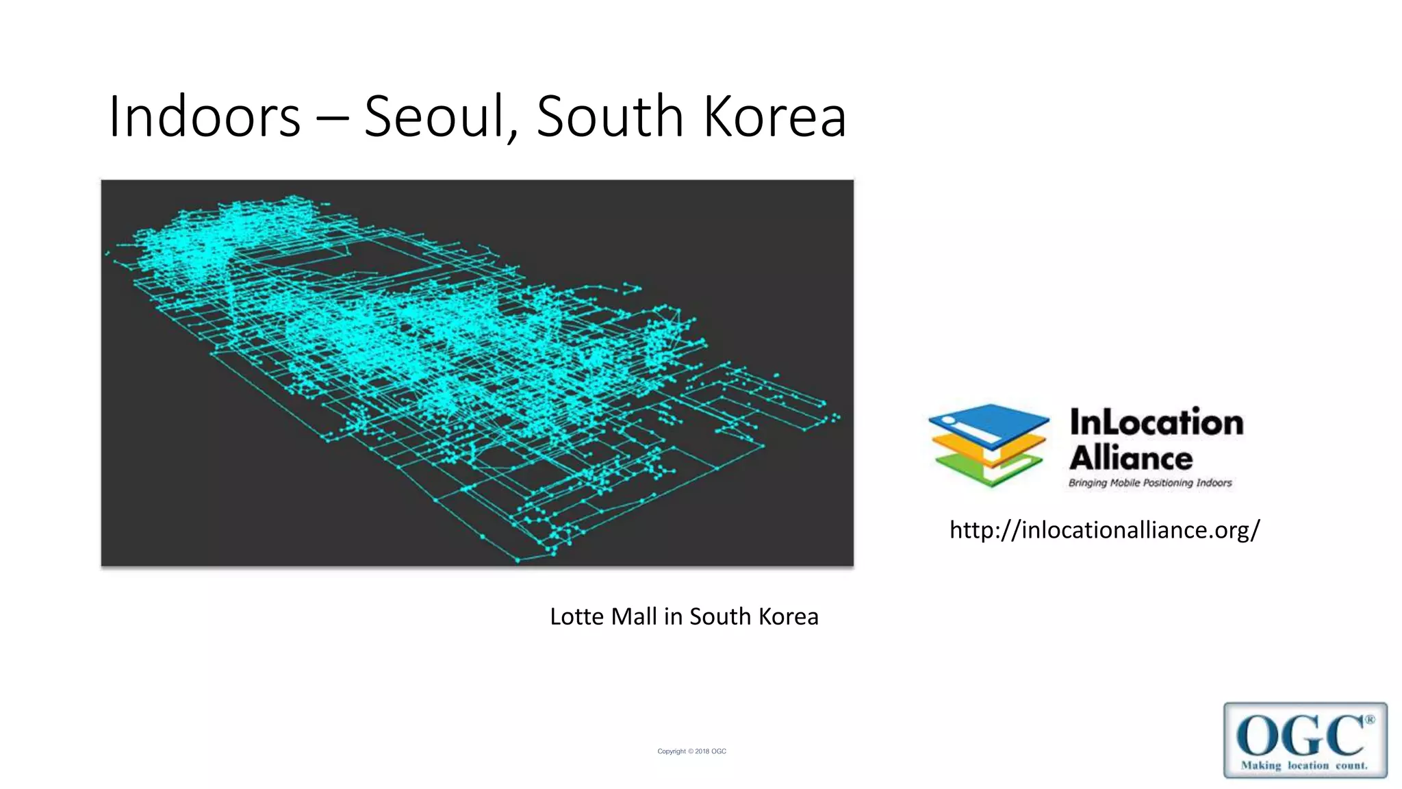
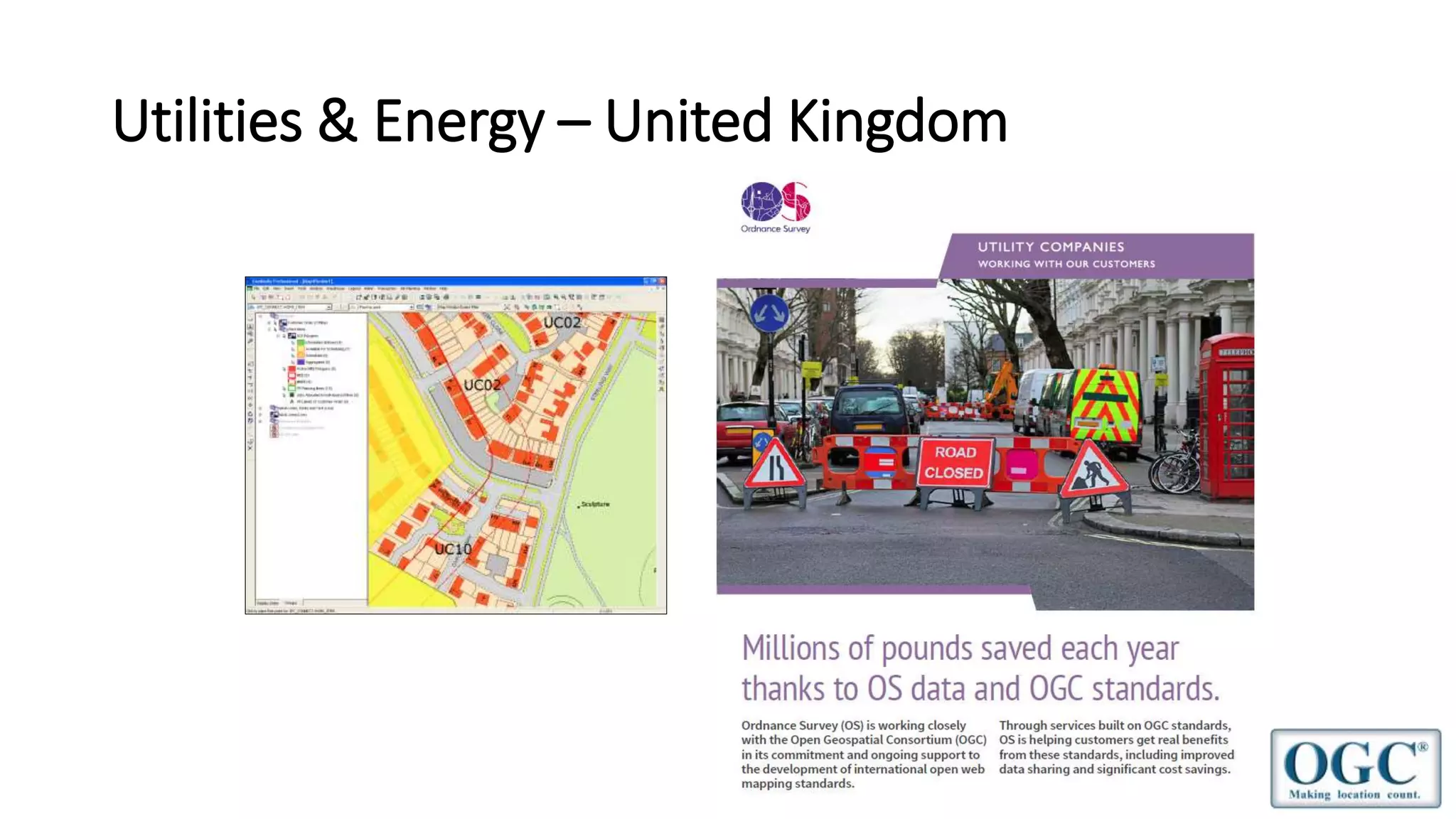

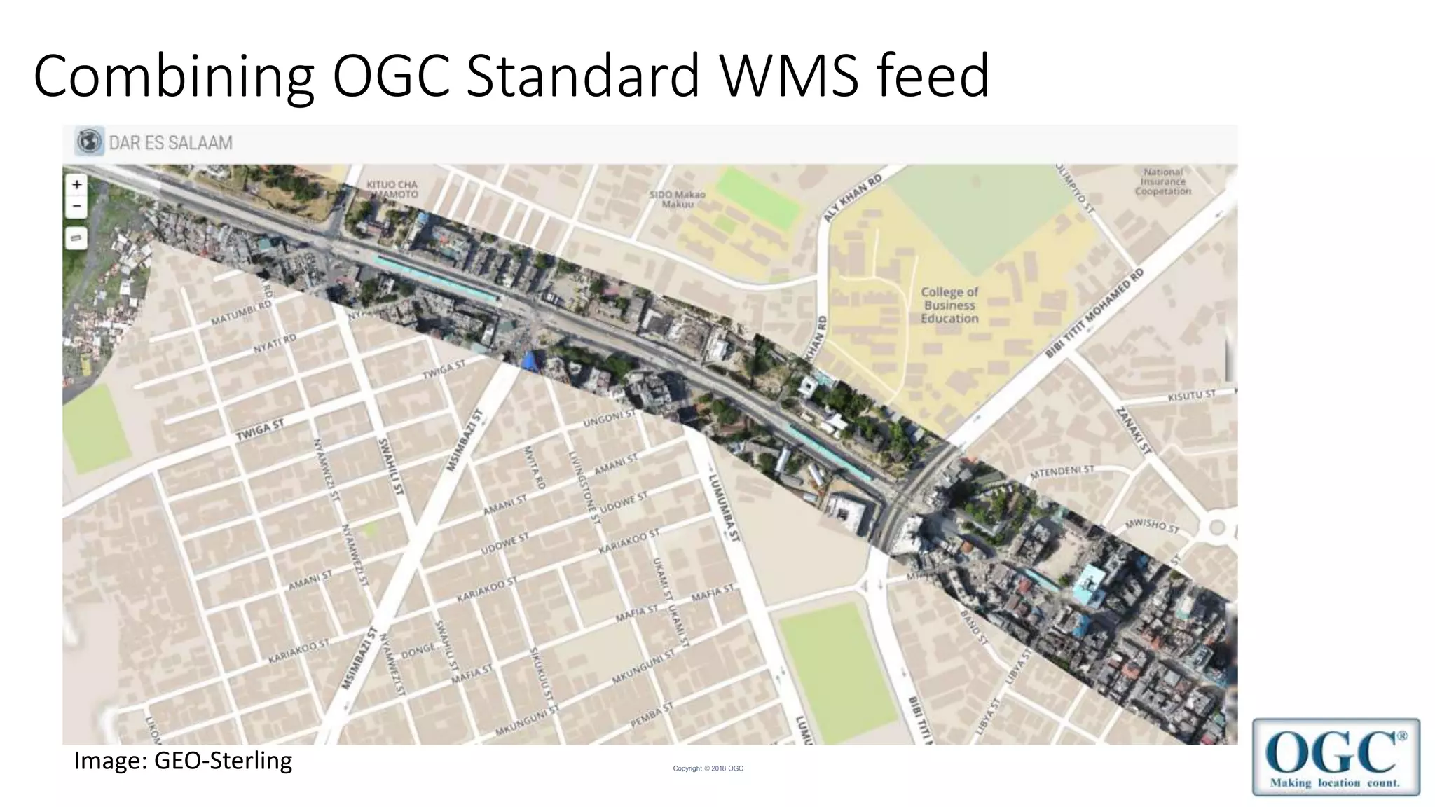


The document discusses the Open Geospatial Consortium (OGC), an international standards organization for geospatial data and location-based services. It provides examples of OGC standards being used for 3D city models, indoor mapping, utilities/energy, and transportation data. The OGC works with other standards bodies and promotes the use of standards to enable sharing of geospatial data and applications in areas like smart cities, maritime, agriculture, and more.