Download to read offline
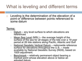
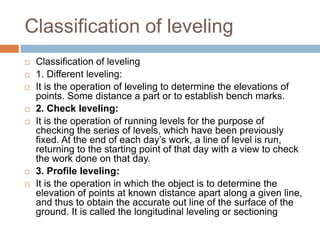
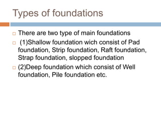

The document discusses various topics related to civil engineering drawings, leveling, and foundations. It defines leveling as determining the elevation of points referenced to a datum and lists different types of leveling operations. The document also outlines two main types of foundations - shallow foundations that include pad, strip, raft, and strap foundations, and deep foundations that involve well and pile foundations.


![[3] AIAA_ImprovedSurfaceMarkerBuoyforScubaDivers](https://cdn.slidesharecdn.com/ss_thumbnails/c7e1bd9f-70b2-4ee8-87b5-e030c936a420-150429152945-conversion-gate02-thumbnail.jpg?width=640&height=640&fit=bounds)


