Downloaded 18 times


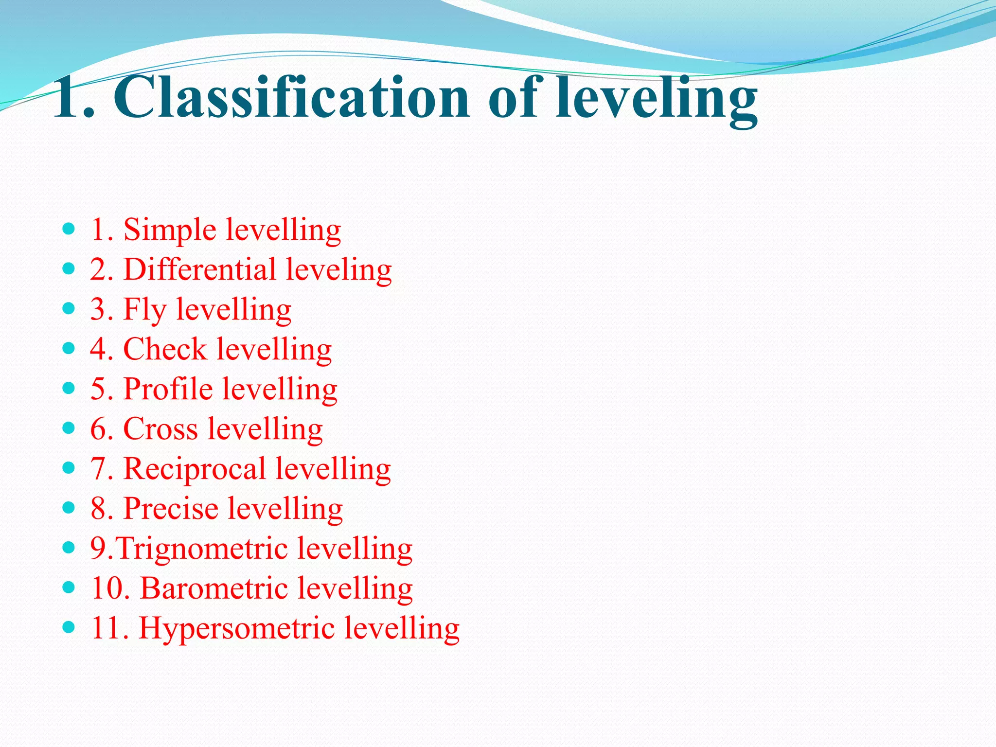
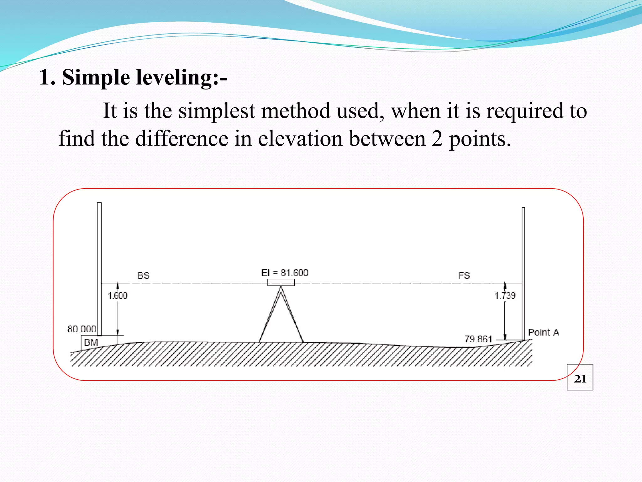
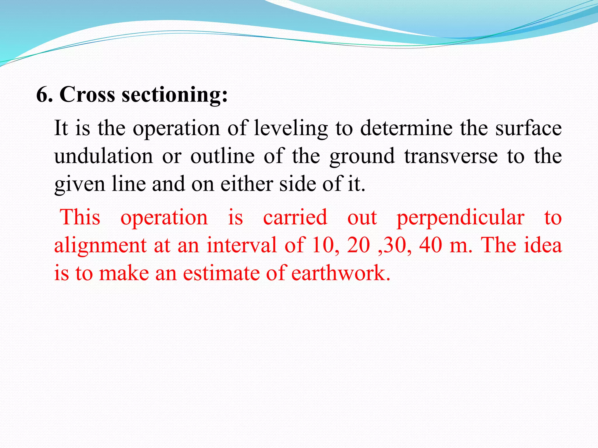


This document defines various terms used in leveling and surveying. It describes different types of leveling instruments like dumpy level, wye level, tilting level, automatic level and their characteristics. It also discusses leveling staffs, bench marks, temporary and permanent benchmarks. Different methods of leveling are explained including simple, differential, fly, check, profile, cross, reciprocal, precise, trigonometric and barometric leveling. Diagrams of leveling equipment like levels, tripods, staffs and accessories are provided.


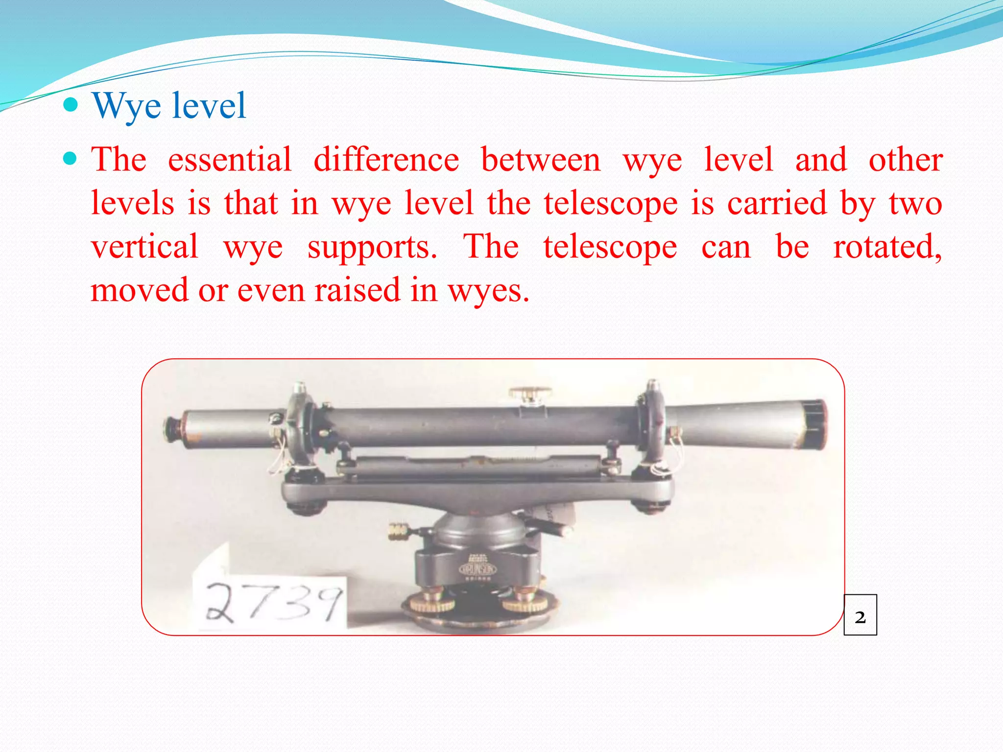
![Module-IV SURVEYING-I [BTCVC304]](https://cdn.slidesharecdn.com/ss_thumbnails/module-iv-191020180053-thumbnail.jpg?width=640&height=640&fit=bounds)


