Downloaded 193 times


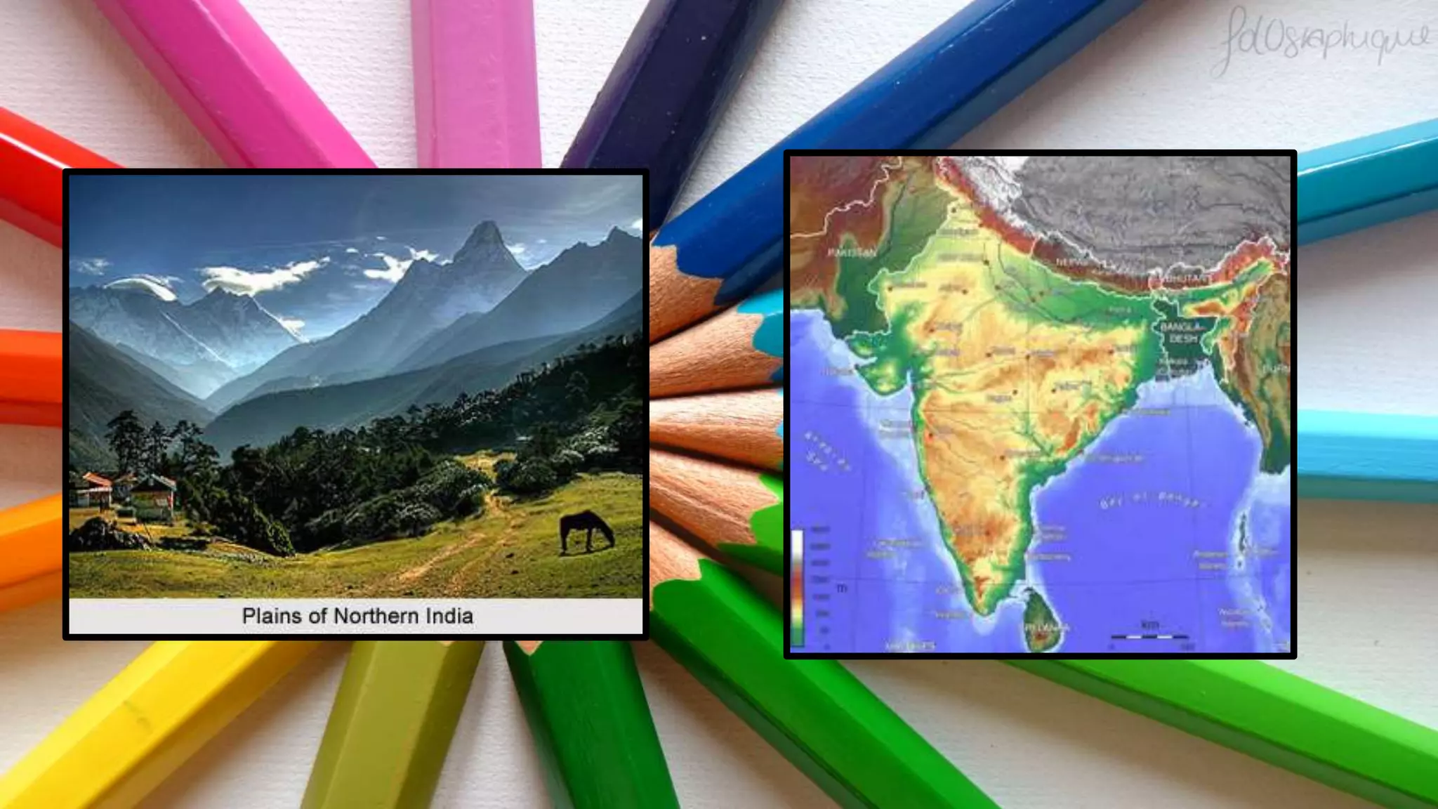


The northern plain of India has been formed by the deposition of alluvial soil over millions of years by the Indus, Ganga, and Brahmaputra river systems along with their tributaries. It spreads over an area of 7 lakh square km and is densely populated. The rivers deposit silt in their lower courses, forming distributaries and riverine islands. The northern plain is divided into the Punjab plain in the west formed by the Indus and its tributaries, the Ganga plain in the center, and the Brahmaputra plain in the east. The land contains diverse relief features like bhabar, terai, bhangar, and khadar soils deposited in belts parallel to


