Download as PDF, PPTX
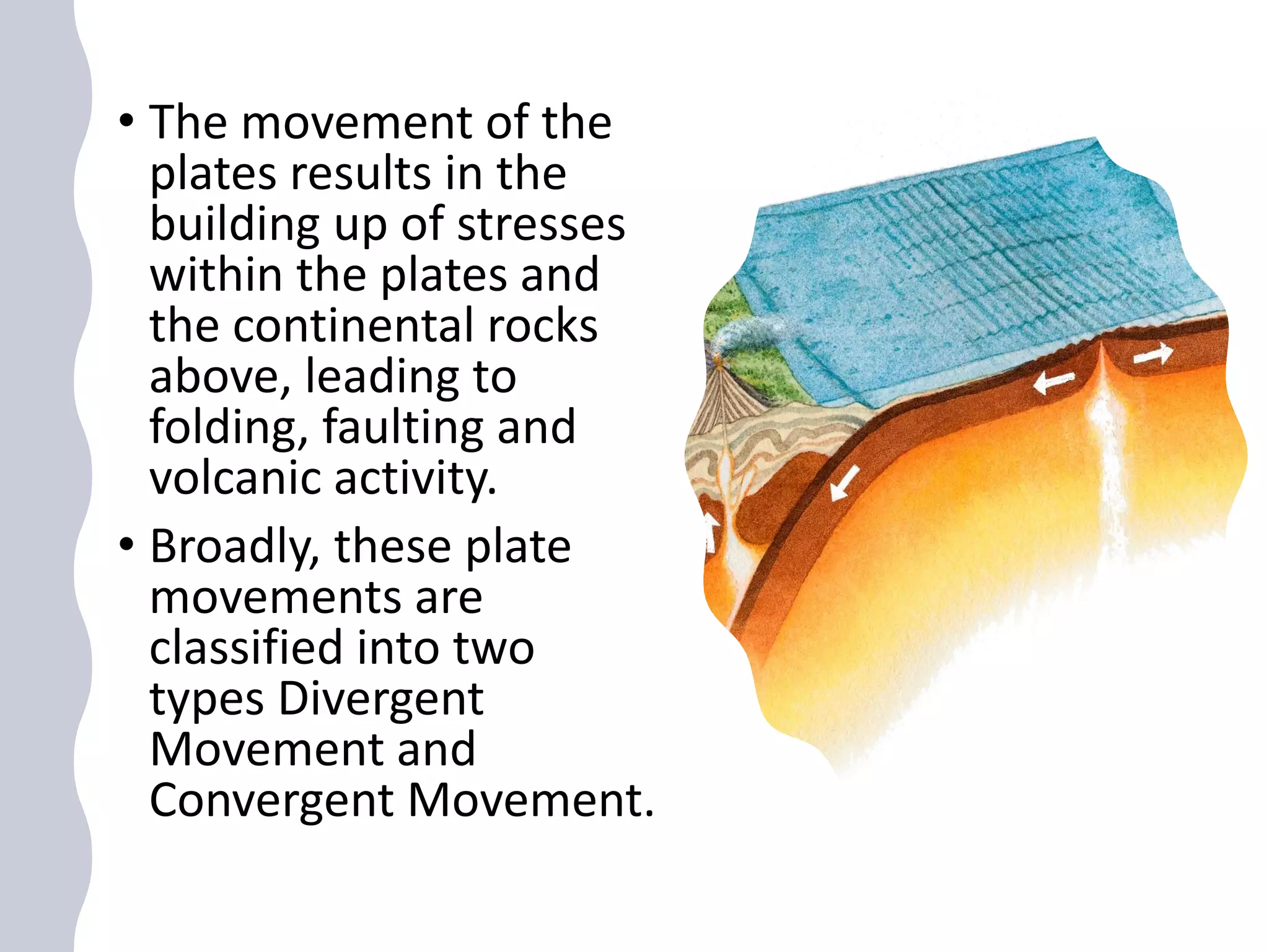
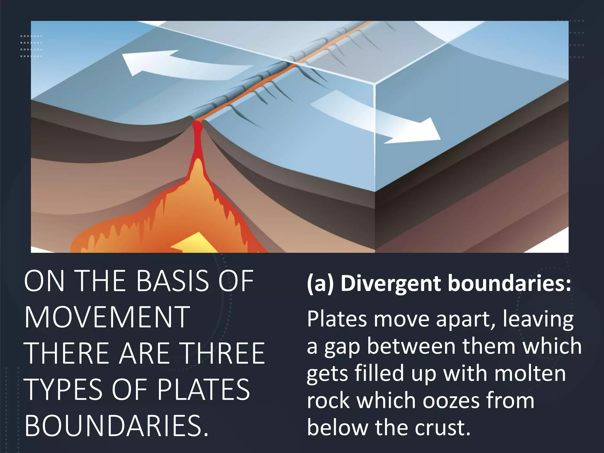
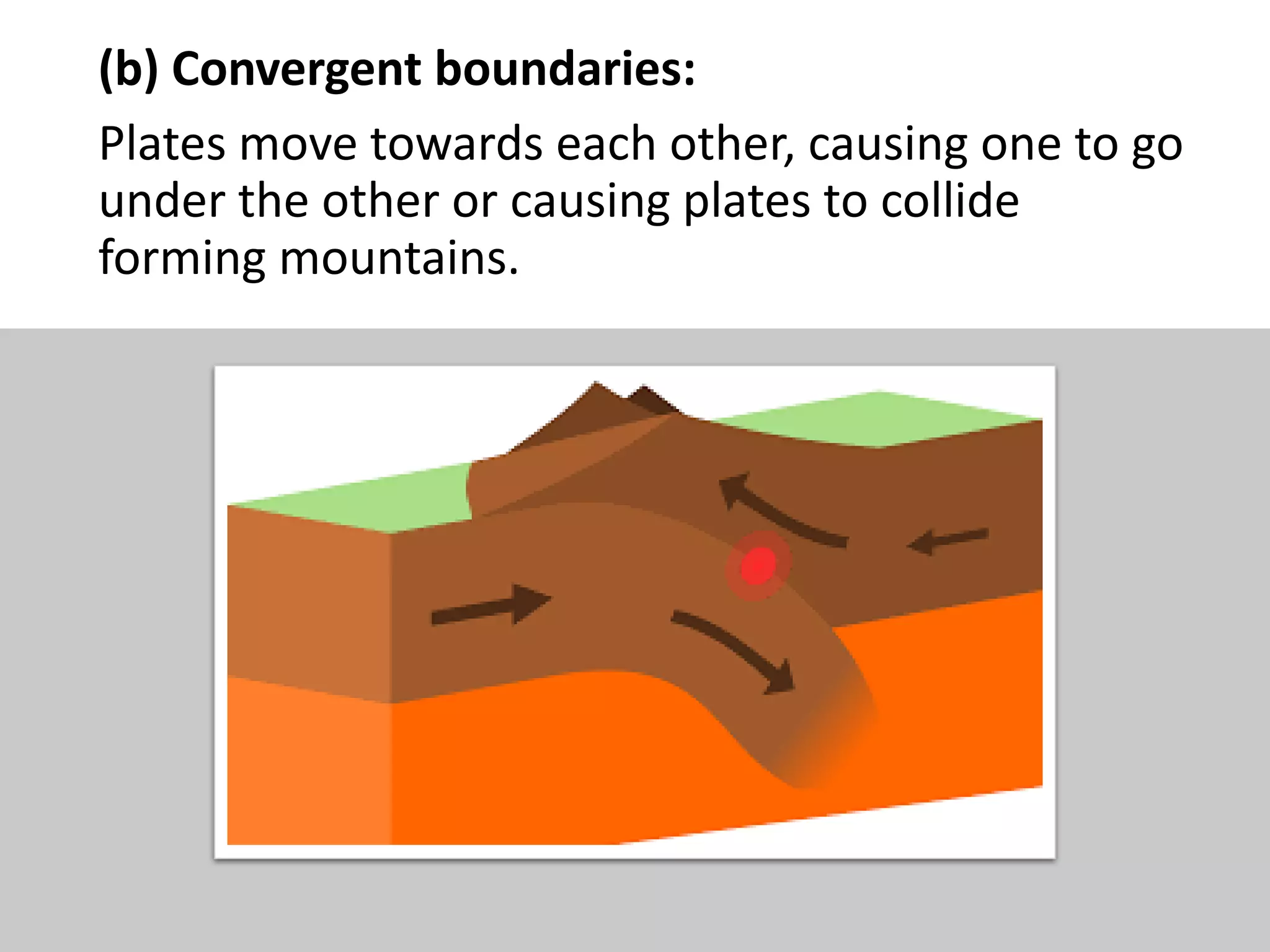

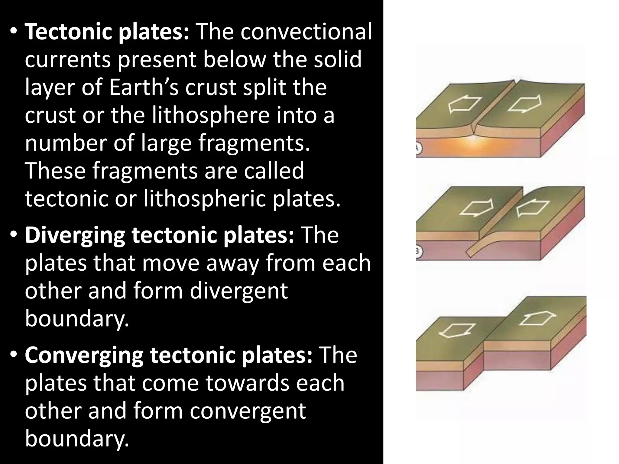
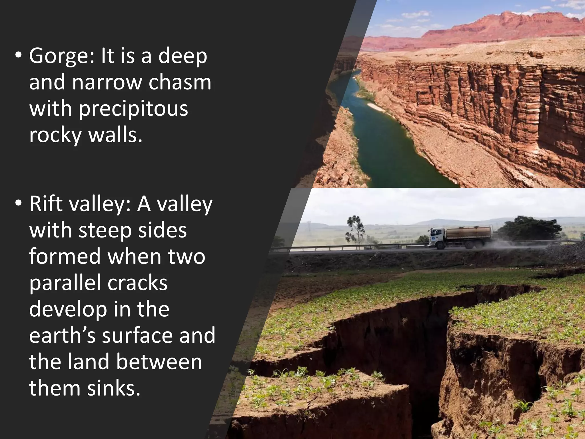
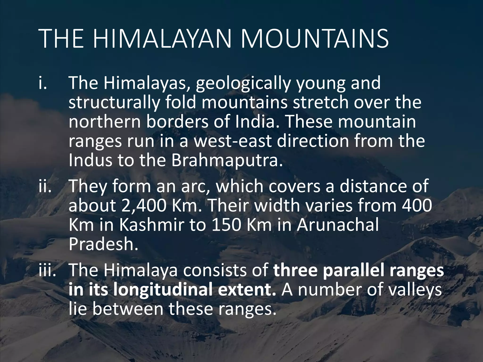
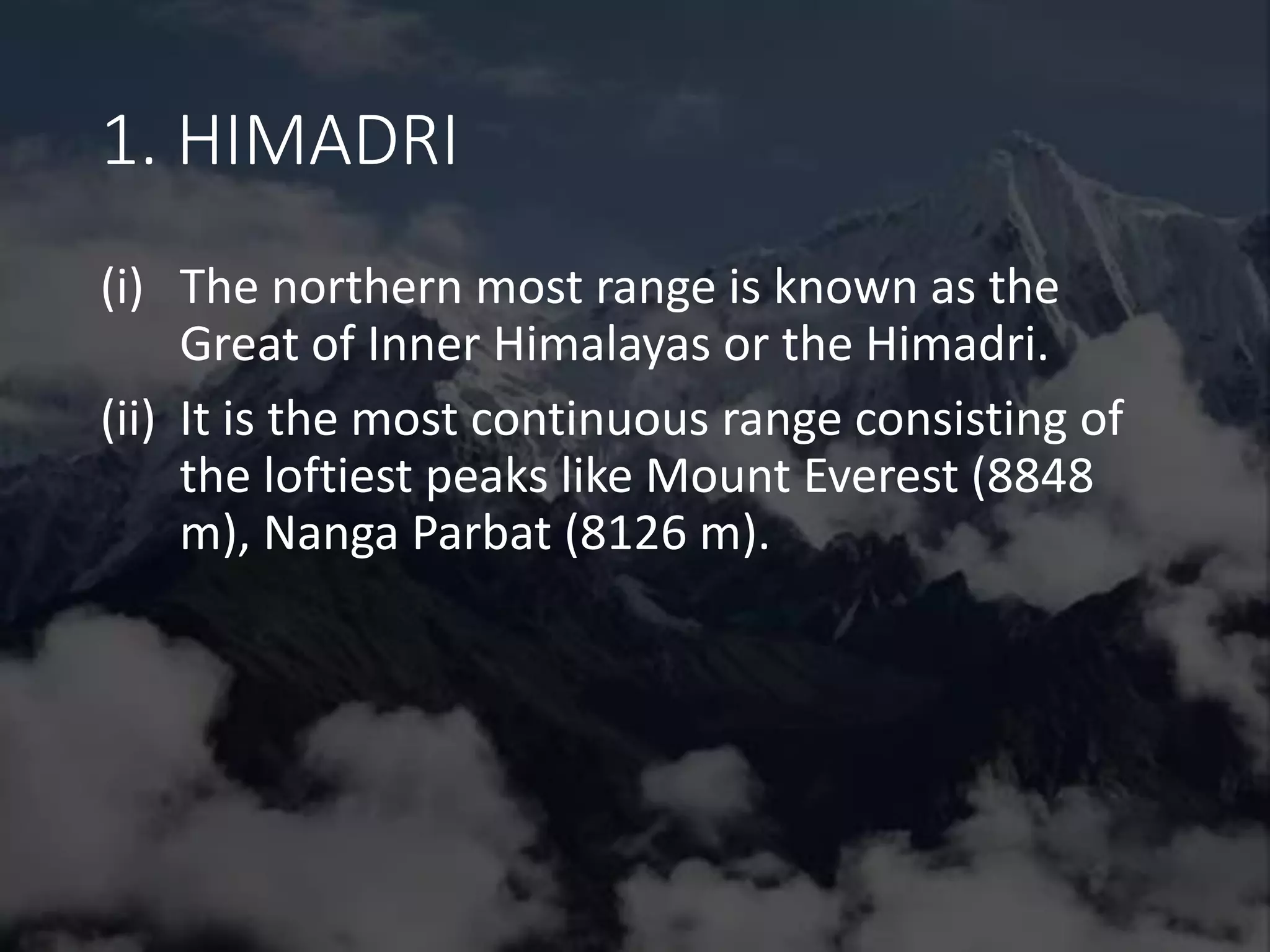
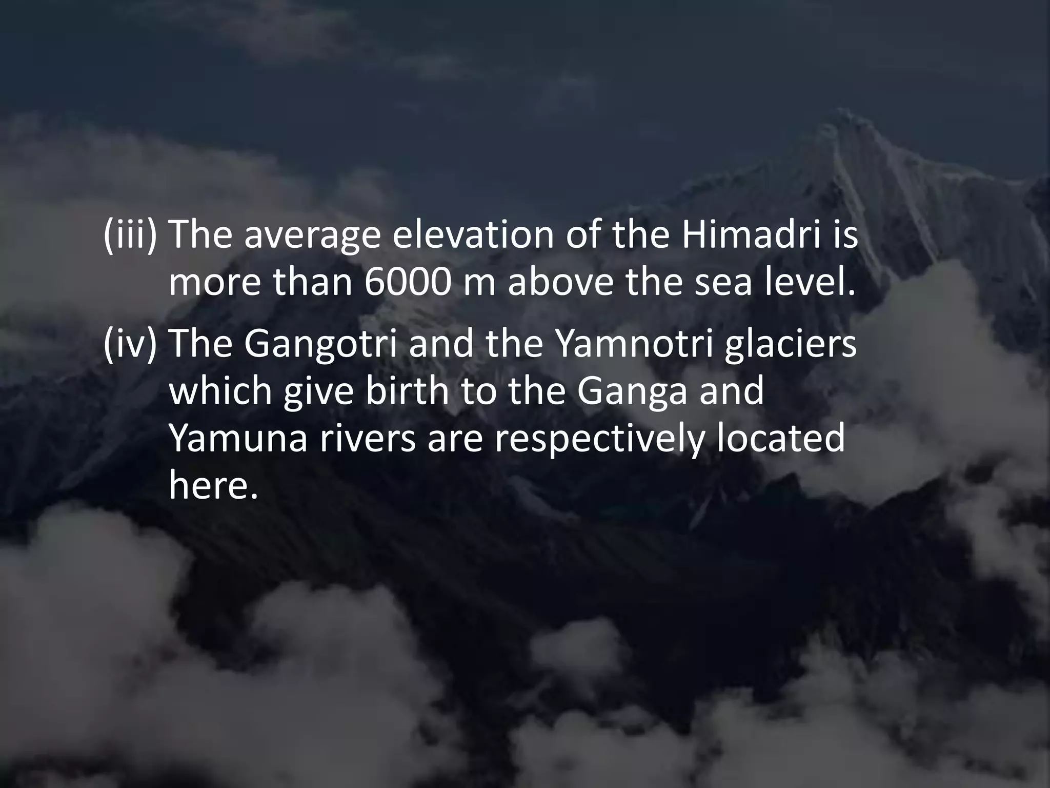

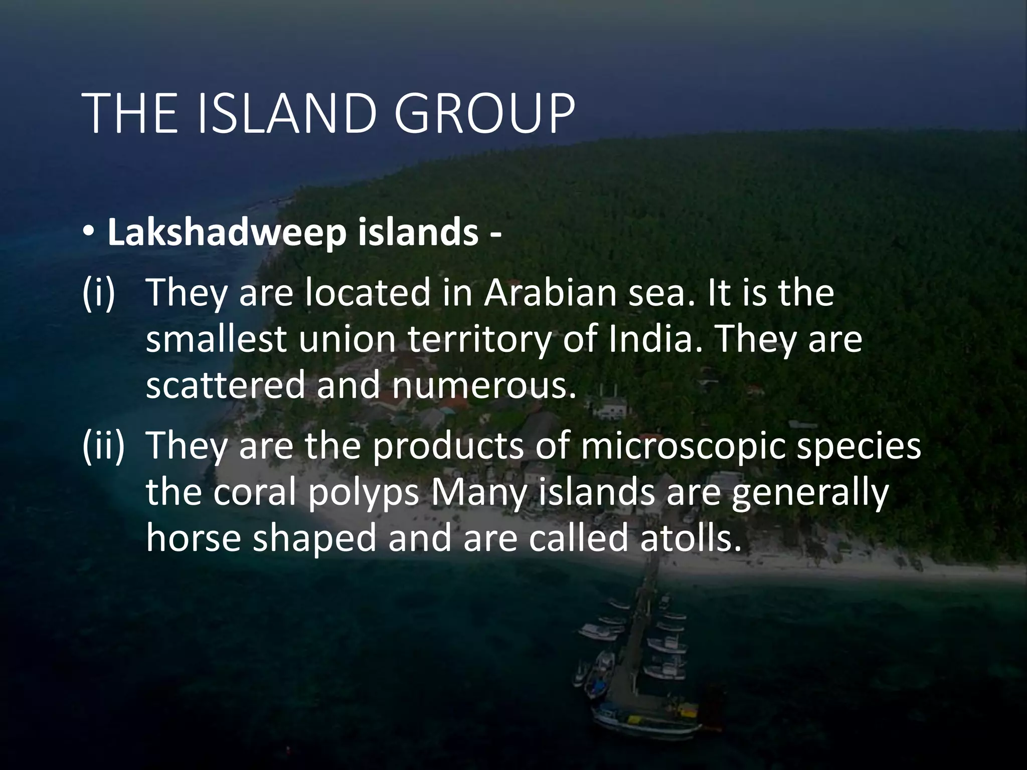
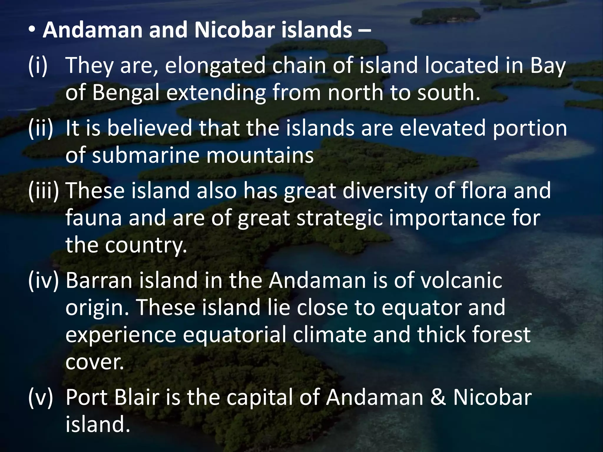


The document provides an overview of India's major physical features, explaining their formation through the theory of plate tectonics, which describes the Earth's crust movements. It details the Himalayas' structure, divisions, and the Northern Plains formed by major rivers, along with information about the Central Highlands, the Indian Desert, and island groups like Lakshadweep and Andaman-Nicobar. The content serves educational purposes, with an invitation to contact the author for additional presentation materials.


